Flasket's Wood
Wood, Forest in Bedfordshire
England
Flasket's Wood

Flasket's Wood is a picturesque woodland located in Bedfordshire, England. Covering an area of approximately 20 acres, it is a popular destination for nature enthusiasts and outdoor lovers. The wood is easily accessible, situated just a short distance from the village of Flasket, and is surrounded by rolling countryside.
The woodland is predominantly made up of native tree species, including oak, beech, and birch. These trees provide a dense canopy, creating a cool and shaded environment during the summer months. The forest floor is carpeted with a variety of wildflowers, ferns, and mosses, adding to the natural beauty of the area.
A network of well-maintained trails meanders through Flasket's Wood, offering visitors the opportunity to explore and discover its hidden gems. These pathways are ideal for walking, jogging, and cycling, and are suitable for people of all ages and abilities. Along the trails, there are several benches and picnic areas where visitors can rest and enjoy the tranquil surroundings.
Flasket's Wood is a haven for wildlife, with many species calling it home. Birdwatchers will be delighted to spot a range of feathered friends, including woodpeckers, owls, and finches. Deer can often be seen grazing in the early morning or at dusk, and small mammals such as squirrels and rabbits can be spotted scurrying amongst the undergrowth.
Overall, Flasket's Wood offers a peaceful and enchanting setting for those seeking to escape the hustle and bustle of everyday life. With its diverse flora and fauna, well-maintained trails, and idyllic surroundings, it is a place where visitors can connect with nature and enjoy the beauty of the Bedfordshire countryside.
If you have any feedback on the listing, please let us know in the comments section below.
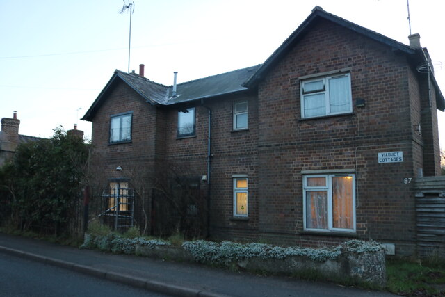
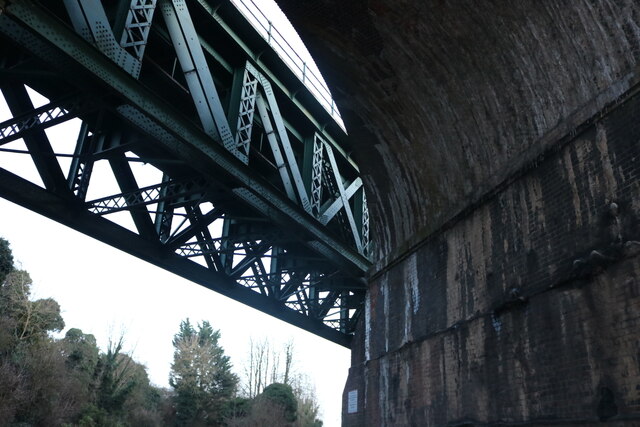
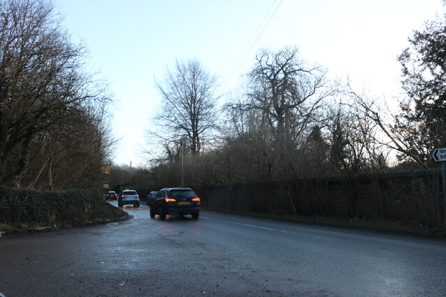
Flasket's Wood Images
Images are sourced within 2km of 51.853499/-0.35165819 or Grid Reference TL1318. Thanks to Geograph Open Source API. All images are credited.


Flasket's Wood is located at Grid Ref: TL1318 (Lat: 51.853499, Lng: -0.35165819)
Unitary Authority: Central Bedfordshire
Police Authority: Bedfordshire
What 3 Words
///gangs.force.palace. Near Kimpton, Hertfordshire
Nearby Locations
Related Wikis

Chiltern Green
Chiltern Green is a hamlet located in Bedfordshire, England. It is in the civil parish of Hyde. The settlement lent its name to Chiltern Green railway...
New Mill End
New Mill End is a hamlet located in Bedfordshire, England, close to county border with Hertfordshire. It is in the civil parish of Hyde, Bedfordshire New...

Chiltern Green railway station
Chiltern Green railway station was built by the Midland Railway in 1868 on its extension to St. Pancras. The station was located in New Mill End but took...
Hyde, Bedfordshire
Hyde (also known as The Hyde) is a civil parish in the county of Bedfordshire. It lies just south-east of Luton. Most of the land to the west of the River...

East Hyde
East Hyde is a village in the civil parish of Hyde, in the Central Bedfordshire district, in the ceremonial county of Bedfordshire, England. East Hyde...

Luton Hoo railway station
Luton Hoo railway station was built by the Hertford, Luton & Dunstable Railway on the branch line between Hatfield and Dunstable. It opened in 1860 and...
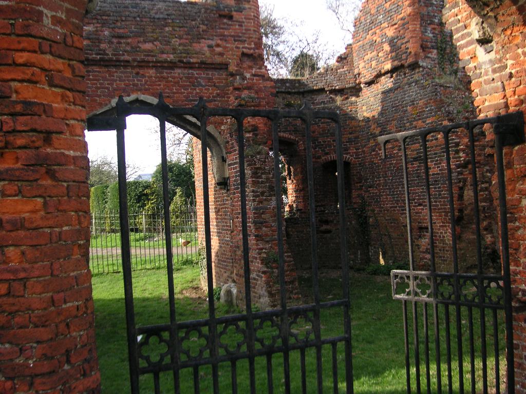
Someries Castle
Someries Castle (sometimes spelt Summeries castle) is a Scheduled Ancient Monument, in the Parish of Hyde, near the town of Luton, Bedfordshire, England...

Ansells End
Ansells End is a hamlet of four historic homes in Hertfordshire, England. The population of the hamlet at the 2011 Census was included in the civil parish...
Nearby Amenities
Located within 500m of 51.853499,-0.35165819Have you been to Flasket's Wood?
Leave your review of Flasket's Wood below (or comments, questions and feedback).