Cherrytree Copse
Wood, Forest in Surrey Mole Valley
England
Cherrytree Copse

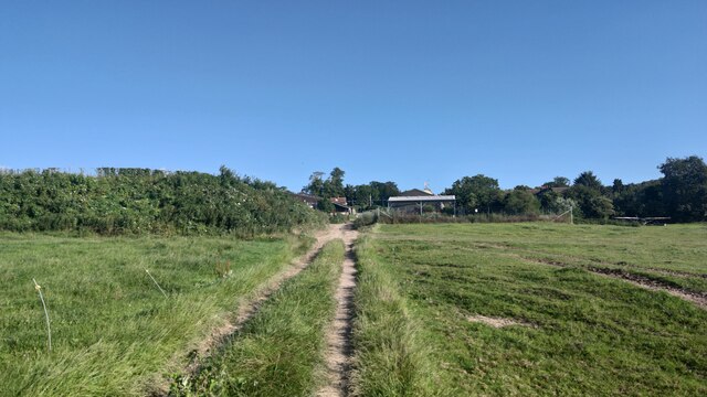
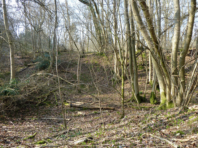
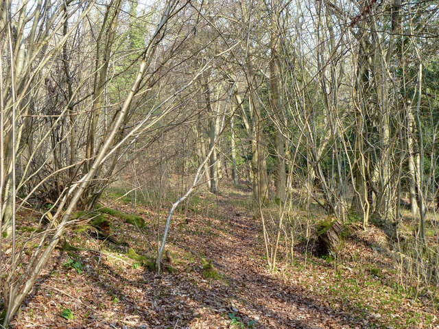
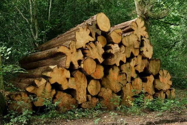
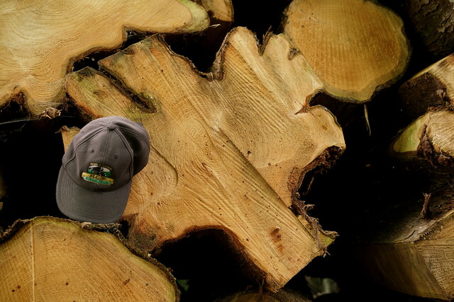
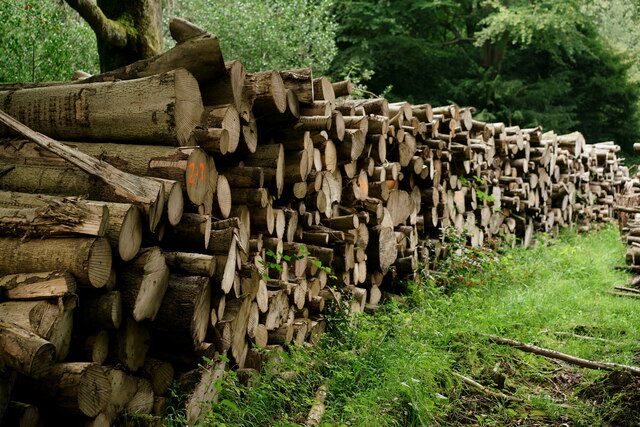
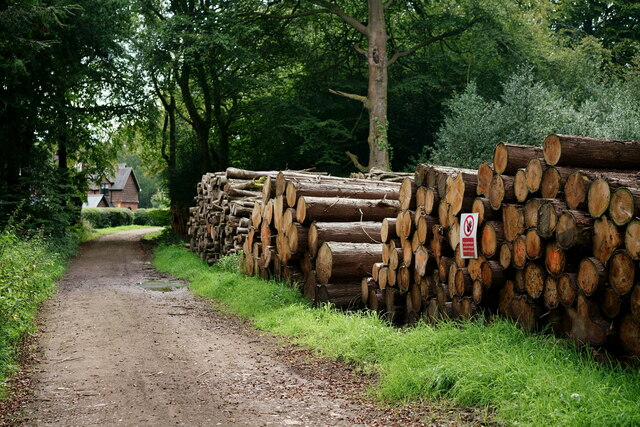
Cherrytree Copse is a picturesque woodland located in Surrey, England. Covering an area of approximately 50 acres, it is situated in the southeastern part of the county, near the town of Guildford. The copse is characterized by its lush greenery and diverse range of tree species, including oak, beech, and of course, cherry trees, which give the woodland its name.
The forest floor is covered in a thick carpet of wildflowers, creating a vibrant and colorful landscape, especially during spring and summer. Bluebells, primroses, and daffodils are just a few of the many species that can be found in this enchanting woodland.
Cherrytree Copse is not just a haven for flora, but also for fauna. It provides a habitat for a variety of wildlife, including deer, foxes, badgers, and numerous bird species. Birdwatchers will delight in the opportunity to spot woodpeckers, owls, and various songbirds in this tranquil setting.
The copse offers a network of well-maintained footpaths, allowing visitors to explore its natural beauty through peaceful walks. There are also picnic areas where visitors can relax and enjoy the serenity of the surroundings.
Cherrytree Copse is a popular destination for nature lovers, families, and photographers, thanks to its idyllic setting and the abundance of photo opportunities it presents. The copse is easily accessible by car and public transport, with ample parking available nearby.
Overall, Cherrytree Copse is a captivating woodland retreat, offering a serene and immersive experience in nature for all who visit.
If you have any feedback on the listing, please let us know in the comments section below.
Cherrytree Copse Images
Images are sourced within 2km of 51.254398/-0.37780161 or Grid Reference TQ1351. Thanks to Geograph Open Source API. All images are credited.


Cherrytree Copse is located at Grid Ref: TQ1351 (Lat: 51.254398, Lng: -0.37780161)
Administrative County: Surrey
District: Mole Valley
Police Authority: Surrey
What 3 Words
///drove.surely.wanted. Near Great Bookham, Surrey
Nearby Locations
Related Wikis
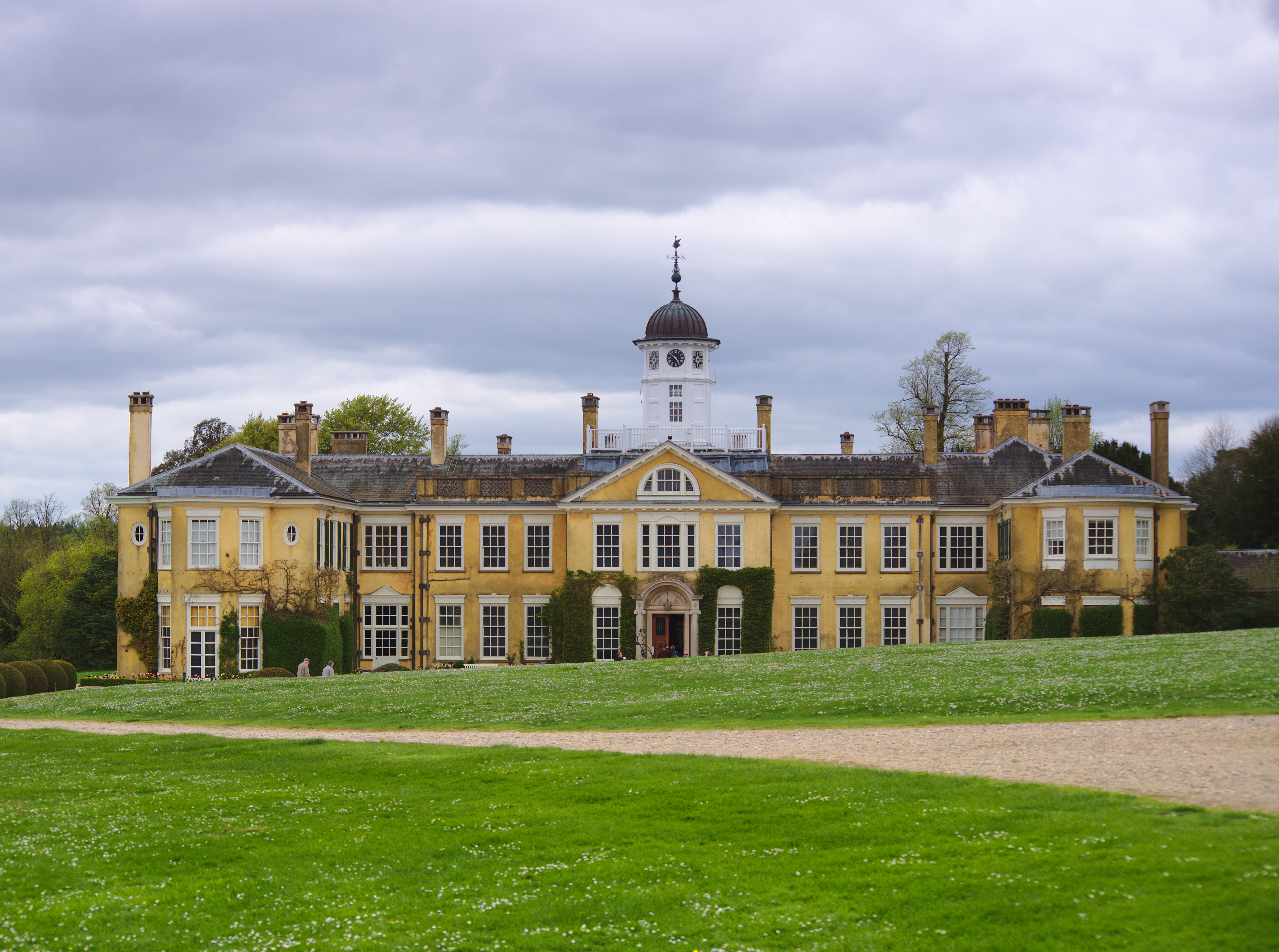
Polesden Lacey
Polesden Lacey is an Edwardian house and estate, located on the North Downs at Great Bookham, near Dorking, Surrey, England. It is owned and run by the...

Ranmore Common SSSI
Ranmore Common SSSI is a 224.3-hectare (554-acre) biological Site of Special Scientific Interest in Ranmore Common, north-west of Dorking in Surrey.This...
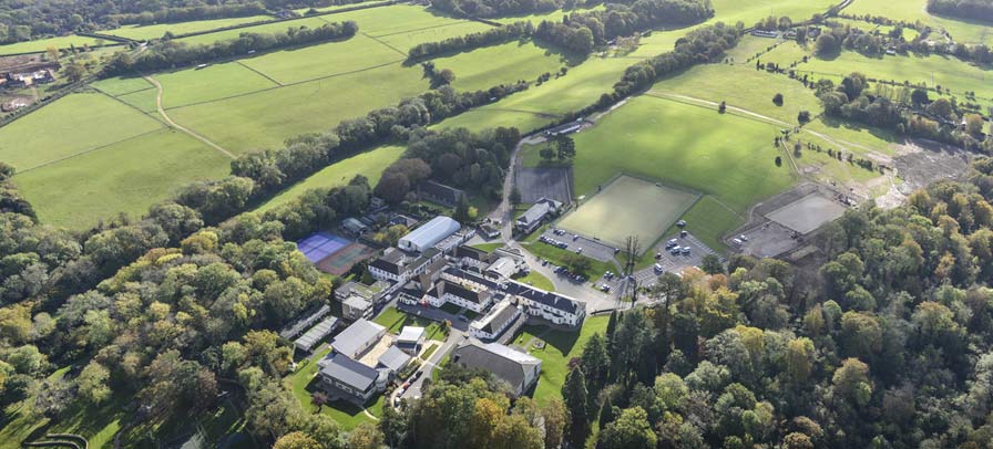
St Teresa's School Effingham
St Teresa's Effingham is a selective, independent boarding and day school for girls aged 2–18 in Effingham, Surrey, England, established in 1928. It is...
Ranmore Common
Ranmore Common, also known as Ranmore Commons, is an area of wooded former common land on the North Downs, immediately northwest of Dorking in the English...

Effingham Hundred
Effingham Hundred or the Hundred of Effingham was a hundred but often treated as a half-hundred with that of Copthorne (to the east and north-east) and...

Manor House School, Little Bookham
Manor House School is a selective independent day school for girls located in Little Bookham, Surrey, England. == History == Manor House School began as...
Howard of Effingham School
The Howard of Effingham School is a co-educational secondary school and sixth form with academy status. It is located in the village of Effingham, Surrey...
Bookham F.C.
Bookham Football Club is a football club based in Great Bookham, near Leatherhead in Surrey, England. Affiliated to the Surrey County Football Association...
Nearby Amenities
Located within 500m of 51.254398,-0.37780161Have you been to Cherrytree Copse?
Leave your review of Cherrytree Copse below (or comments, questions and feedback).