Bush Wood

Wood, Forest in Hertfordshire St. Albans

England

Bush Wood

Punch Bowl Lane, Redbournbury
Punch Bowl Lane, Redbournbury Credit: David Howard

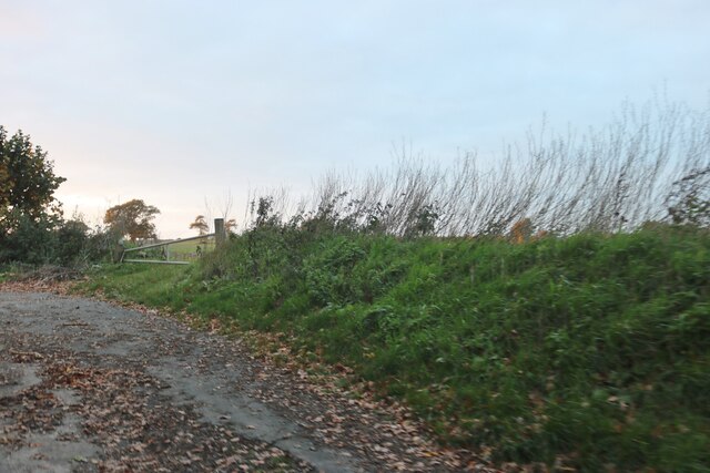
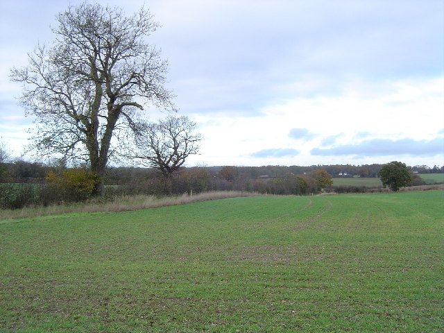
Bush Wood is a picturesque woodland area located in the county of Hertfordshire, England. Covering an area of approximately 150 acres, this ancient woodland is situated near the town of Welwyn Garden City, in close proximity to the Great North Road.

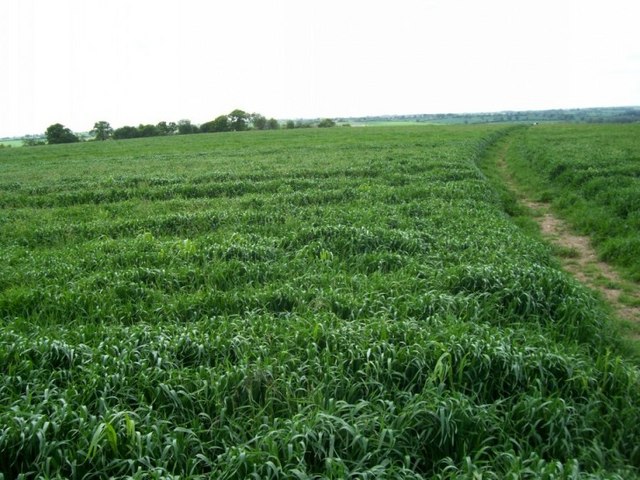
The wood is predominantly made up of native tree species such as oak, ash, and beech, giving it a diverse and vibrant ecosystem. The canopy of the trees provides a cool and shady environment, making it an ideal spot for a leisurely walk or a peaceful retreat from the hustle and bustle of everyday life.

The woodland floor is covered in a thick carpet of bluebells during the spring, creating a stunning display of color and attracting nature enthusiasts and photographers alike. The undergrowth is also home to a variety of other wildflowers, ferns, and fungi, further enhancing the natural beauty of the area.

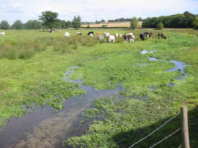
Bush Wood is a haven for wildlife, serving as a habitat for a wide range of animal species. Visitors may spot deer, foxes, badgers, and numerous bird species, including woodpeckers and owls. The wood also contains a small pond, which provides a home for frogs, newts, and other aquatic creatures.

The wood is intersected by a network of footpaths, allowing visitors to explore the area and appreciate its natural wonders. The peaceful ambiance and beautiful surroundings make Bush Wood a popular destination for nature lovers, walkers, and families looking to enjoy the outdoors.

If you have any feedback on the listing, please let us know in the comments section below.

Bush Wood Images

Images are sourced within 2km of 51.780597/-0.35899878 or Grid Reference TL1310. Thanks to Geograph Open Source API. All images are credited.

Punch Bowl Lane, Redbournbury
Grass and field by Punch Bowl Lane, Redbournbury
Redbournbury Mill
Redbournbury Mill
Onyx recycling at Redbournbury Onyx vehicles are tankers so the recycling is of liquids but that is the extent of my knowledge.
Onyx recycling at Redbournbury
Onyx vehicles are tankers so the recycling is of liquids but that is the extent of my knowledge.
River Ver with cattle at Redbournbury The recycling works are just to the right of the picture so I hope they never have an accidental spillage.
River Ver with cattle at Redbournbury
The recycling works are just to the right of the picture so I hope they never have an accidental spillage.
Farmland twixt St Albans and Harpenden Viewed looking northwards from the track to Cheapside Farm.
Farmland twixt St Albans and Harpenden
Viewed looking northwards from the track to Cheapside Farm.
Childwickbury Manor House Childwickbury manor, formerly Stanley Kubrick's house.
Childwickbury Manor House
Childwickbury manor, formerly Stanley Kubrick's house.
Cricket near the pub At the northern edge of the square the small building marked on the public footpath across the road from the pub is a cricket pavilion. Oddly, the cricket pitch seems to be in the middle of a golf course.
Cricket near the pub
At the northern edge of the square the small building marked on the public footpath across the road from the pub is a cricket pavilion. Oddly, the cricket pitch seems to be in the middle of a golf course.
Barn among fields The isolated building marked on the 1:50,000 OS map at around TL145113 is this barn. Photograph taken looking South East from a heavily overgrown footpath.
Barn among fields
The isolated building marked on the 1:50,000 OS map at around TL145113 is this barn. Photograph taken looking South East from a heavily overgrown footpath.
Footpath and field Looking west from the footpath junction at TL128115, the path will eventually take you to Redbourn.
Footpath and field
Looking west from the footpath junction at TL128115, the path will eventually take you to Redbourn.
Houses beyond the fields Looking NE from the footpath junction at TL128115, over the fields we can see the houses which just creep into the NE corner of the square.
Houses beyond the fields
Looking NE from the footpath junction at TL128115, over the fields we can see the houses which just creep into the NE corner of the square.
Houses near Beesonend These 3 large houses stand on the south side of the B road shortly after you turn off the A1081 towards Redbournbury.
Houses near Beesonend
These 3 large houses stand on the south side of the B road shortly after you turn off the A1081 towards Redbournbury.
Strange little building This unusual little building stands in the grounds of Beesonend Farm House. I've classified it as a shed, but I'm sure there is - or at least was - more to it than that.
Strange little building
This unusual little building stands in the grounds of Beesonend Farm House. I've classified it as a shed, but I'm sure there is - or at least was - more to it than that.
Dusty Miller - Redbournbury Mill The miller/baker appears for a breath of fresh air.
Mill not open today but milling using electric power. This is unusual as the three stones are driven by bevels off a layshaft rather than being grouped around a single great spur wheel.
Dusty Miller - Redbournbury Mill
The miller/baker appears for a breath of fresh air. Mill not open today but milling using electric power. This is unusual as the three stones are driven by bevels off a layshaft rather than being grouped around a single great spur wheel.
Redbournbury Mill Overshot wheel is visible.
Redbournbury Mill
Overshot wheel is visible.
Redbournbury watermill This mill was rebuilt completely after a fire, and now once more mills wheat to make flour, although the lack of water in the river Ver means that it now uses electricity rather than waterpower
Redbournbury watermill
This mill was rebuilt completely after a fire, and now once more mills wheat to make flour, although the lack of water in the river Ver means that it now uses electricity rather than waterpower
Crossley diesel, Redbournbury Mill Preserved engine erected in a separate shed alongside the watermill.
Crossley diesel, Redbournbury Mill
Preserved engine erected in a separate shed alongside the watermill.
Childwick Green St Mary's Church, on the left, was designed by Sir George Gilbert Scott and built in 1867
Childwick Green
St Mary's Church, on the left, was designed by Sir George Gilbert Scott and built in 1867
Show me another place!

Bush Wood is located at Grid Ref: TL1310 (Lat: 51.780597, Lng: -0.35899878)

Administrative County: Hertfordshire

District: St. Albans

Police Authority: Hertfordshire

What 3 Words

///video.cattle.image. Near Redbourn, Hertfordshire

Nearby Locations

Bush Wood

Related Wikis

Childwickbury

Childwickbury is a hamlet in Hertfordshire, England lying to the north of St Albans in the parish of St Michael. Childwickbury Manor was home to Stanley...
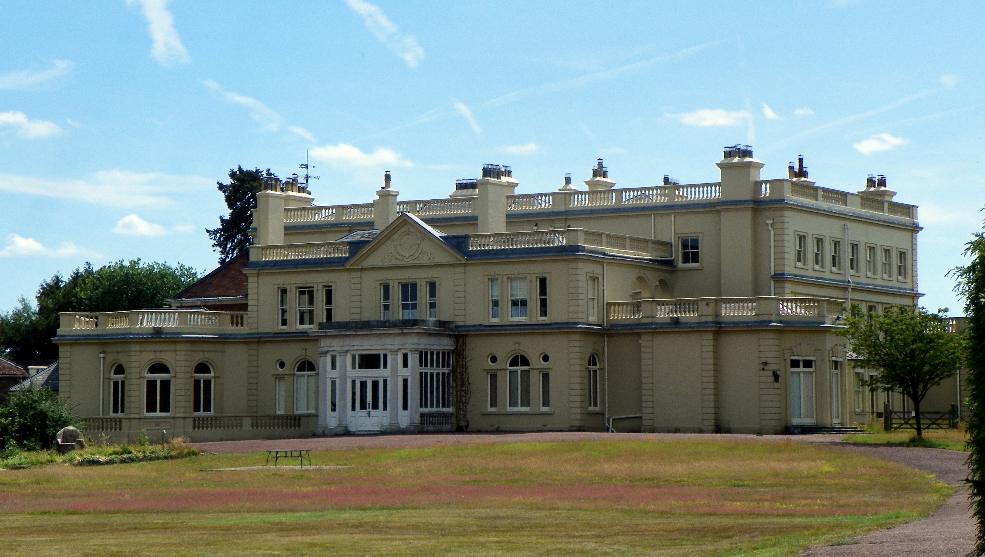
Childwickbury Manor

Childwickbury Manor is a manor house in the hamlet of Childwickbury, Hertfordshire, England, between St Albans and Harpenden. == History == The Lomax family...

Childwickbury Stud

Childwickbury Stud is a Thoroughbred horse breeding farm near St Albans, Hertfordshire, England. Originally built in 1888 by Sir John Blundell Maple as...

Townsend Church of England School

Townsend Church of England School is a voluntary aided secondary school based in St Albans, Hertfordshire, England. The students attending are aged between...
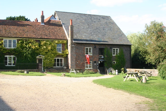
Redbournbury

Redbournbury is a hamlet in the county of Hertfordshire. It is located near the A5 road in between the city of St Albans and the large village of Redbourn...
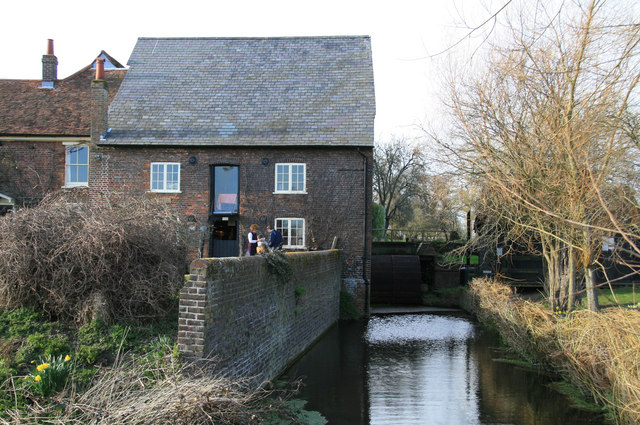
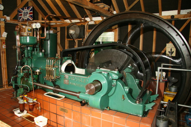
Redbournbury Mill

Redbournbury Mill, is a Grade II* listed flour mill in Redbournbury, Hertfordshire, England, which is thought to have been first built in the early 11th...
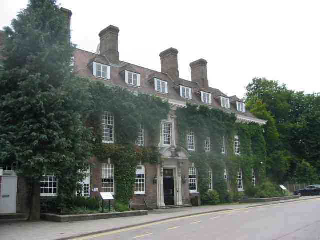
Batchwood Hall

Batchwood Hall is a manor house in St Albans, Hertfordshire == History == The house was designed in the Queen Anne style and built for Edmund Beckett,...

St Albans City and District

St Albans (), commonly known as the City and District of St Albans, is a local government district with city status in Hertfordshire, England. Its council...

Nearby Amenities

Located within 500m of 51.780597,-0.35899878
The data included in this document is from www.openstreetmap.org. The data is made available under ODbL.

Have you been to Bush Wood?

Leave your review of Bush Wood below (or comments, questions and feedback).