Langmere Covert
Wood, Forest in Lincolnshire
England
Langmere Covert

Langmere Covert is a picturesque woodland located in Lincolnshire, England. Spanning over an area of approximately 200 acres, this charming forest is a haven for nature enthusiasts and outdoor lovers.
The woodland is characterized by a diverse range of tree species, including oak, beech, birch, and willow. These towering trees provide ample shade and create a serene ambiance, making Langmere Covert an ideal spot for peaceful walks and picnics. The forest floor is also adorned with a rich carpet of moss, ferns, and wildflowers, enhancing its natural beauty.
Langmere Covert is home to a variety of wildlife, making it a popular destination for birdwatchers and animal enthusiasts. Visitors may spot native birds such as woodpeckers, owls, and thrushes, as well as mammals like foxes, rabbits, and deer. The forest's tranquil environment and abundance of food and shelter attract a diverse range of creatures, creating a thriving ecosystem.
The woodland is well-equipped with marked trails and footpaths, allowing visitors to explore its beauty at their own pace. It is also home to a small lake, which adds to its charm and provides a picturesque setting for photography and nature observation. The surrounding area offers ample parking facilities and picnic areas, ensuring a comfortable and enjoyable visit for all.
Langmere Covert is not only a natural haven but also an important site for conservation. The forest is carefully managed to preserve its biodiversity and protect its delicate ecosystem. Visitors are encouraged to follow the forest's guidelines and respect its flora and fauna, ensuring its preservation for future generations to enjoy.
If you have any feedback on the listing, please let us know in the comments section below.
Langmere Covert Images
Images are sourced within 2km of 53.682294/-0.28621956 or Grid Reference TA1322. Thanks to Geograph Open Source API. All images are credited.


Langmere Covert is located at Grid Ref: TA1322 (Lat: 53.682294, Lng: -0.28621956)
Unitary Authority: North Lincolnshire
Police Authority: Humberside
What 3 Words
///digits.richer.flash. Near Goxhill, Lincolnshire
Nearby Locations
Related Wikis

East Halton railway station
East Halton railway station was located on Skitter Road north of East Halton, Lincolnshire, England.The station was built by the Barton and Immingham Light...

East Halton
East Halton is a small village and civil parish in North Lincolnshire, England. It is situated close to the Humber estuary, approximately 4 miles (6 km...

RAF Goxhill
Royal Air Force Goxhill or RAF Goxhill is a former Royal Air Force station located east of Goxhill, on the south bank of the Humber Estuary, opposite the...

Goxhill Hall
Goxhill Hall is a late 17th-century residence and a Grade II* Listed building in Goxhill, North Lincolnshire. A 14th to 15th-century Medieval hall joins...
Goxhill
Goxhill is a large village and civil parish in North Lincolnshire, England. The population of the civil parish taken at the 2011 census was 2,290. It is...
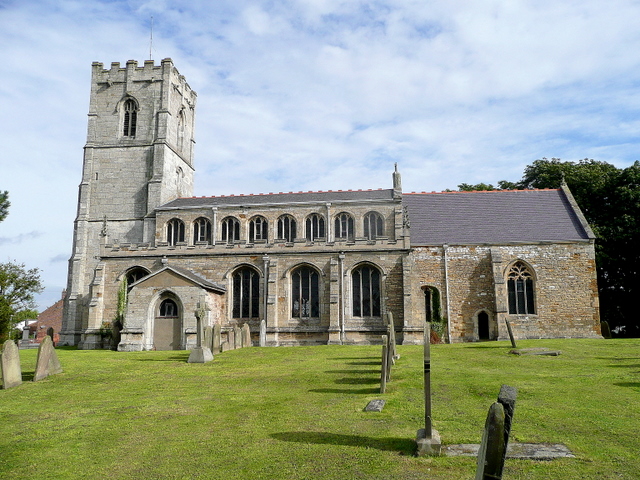
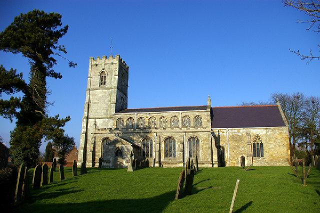
All Saints Church, Goxhill
All Saints Church is an Anglican church and Grade I Listed building in Goxhill, North Lincolnshire, England. == Architecture == The chancel dates to the...

Killingholme Admiralty Platform railway station
Killingholme Admiralty Platform railway station, known locally as Admiralty Platform, was near North Killingholme Haven, Lincolnshire, England. The station...

Killingholme A power station
Killingholme A Power Station was a combined‐cycle gas turbine natural gas power station within the civil parish of North Killingholme, in North Lincolnshire...
Have you been to Langmere Covert?
Leave your review of Langmere Covert below (or comments, questions and feedback).