Yewtree Shaw
Wood, Forest in Surrey Mole Valley
England
Yewtree Shaw

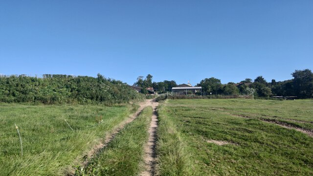
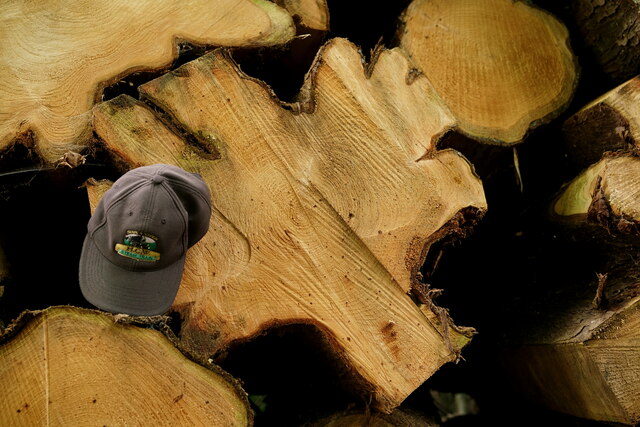
Yewtree Shaw is a picturesque woodland located in Surrey, England. The forest covers an area of approximately 100 acres and is nestled between the villages of Shere and Gomshall. With its lush greenery and diverse flora, Yewtree Shaw is a popular destination for nature enthusiasts and hikers alike.
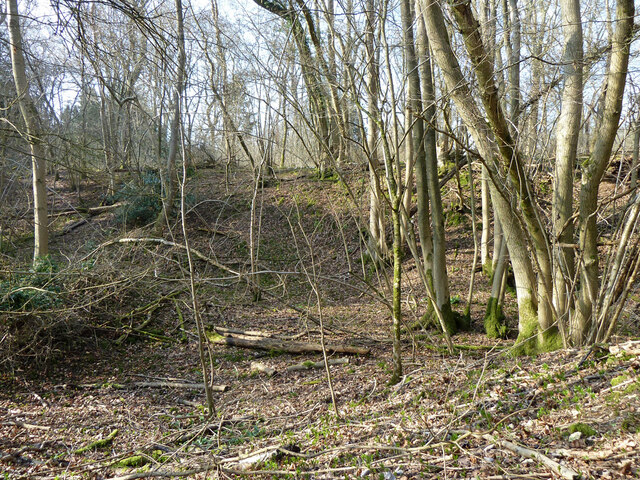
The forest is primarily composed of yew trees, which lend their name to the woodland. These ancient trees, some of which are several hundred years old, create a mystical and enchanting atmosphere. The dense canopy created by the yews provides shelter for various bird species, making it a haven for birdwatchers.
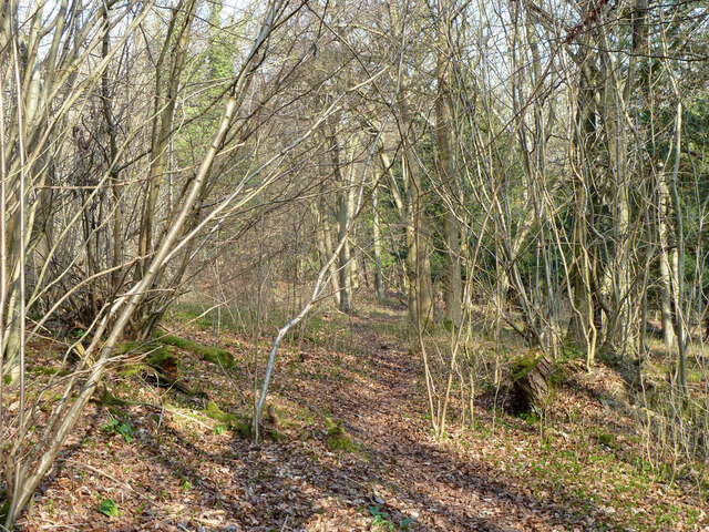
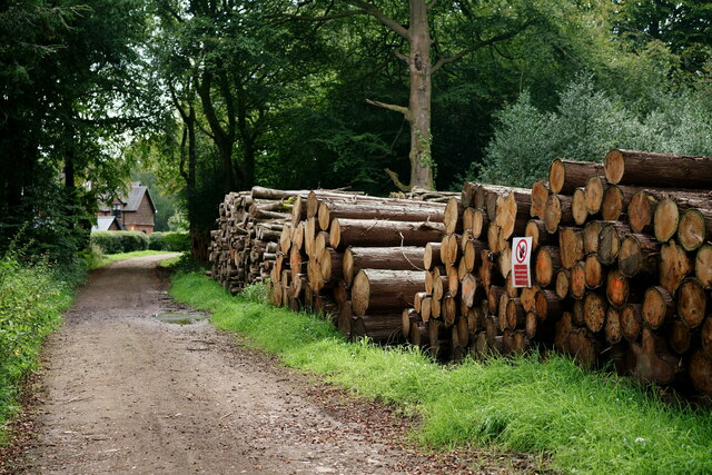
Yewtree Shaw offers a network of well-maintained footpaths and trails, allowing visitors to explore its natural beauty. The paths meander through the forest, offering glimpses of wildflowers, ferns, and other woodland plants. The forest floor is carpeted with moss, creating a soft and inviting walking surface.
One of the highlights of Yewtree Shaw is its tranquil pond, which is home to a variety of aquatic plants and creatures. The pond attracts numerous species of dragonflies and butterflies, adding to the area's biodiversity.
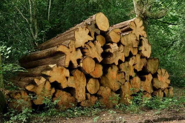
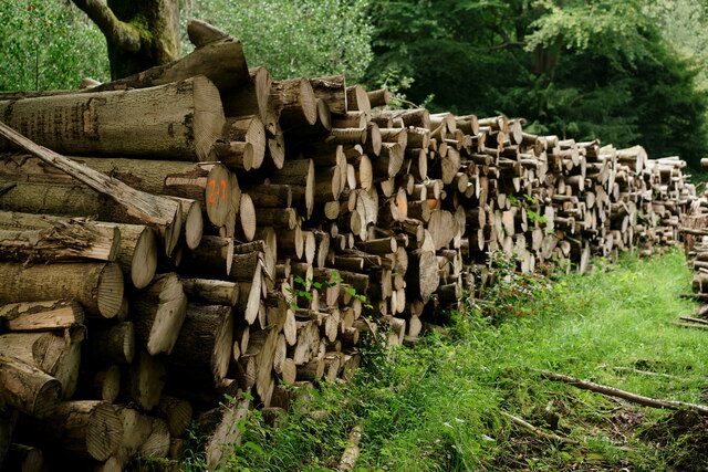
The forest is also steeped in history, with remnants of ancient settlements and charcoal burners' platforms scattered throughout the woodland. These archaeological features provide insight into the human presence in the area throughout the centuries.
Yewtree Shaw is easily accessible, with ample parking available nearby. Visitors can enjoy a peaceful walk in the woods, immerse themselves in nature, and appreciate the beauty and serenity of this stunning Surrey forest.
If you have any feedback on the listing, please let us know in the comments section below.
Yewtree Shaw Images
Images are sourced within 2km of 51.251373/-0.37883949 or Grid Reference TQ1351. Thanks to Geograph Open Source API. All images are credited.


Yewtree Shaw is located at Grid Ref: TQ1351 (Lat: 51.251373, Lng: -0.37883949)
Administrative County: Surrey
District: Mole Valley
Police Authority: Surrey
What 3 Words
///digits.exam.push. Near Westcott, Surrey
Nearby Locations
Related Wikis
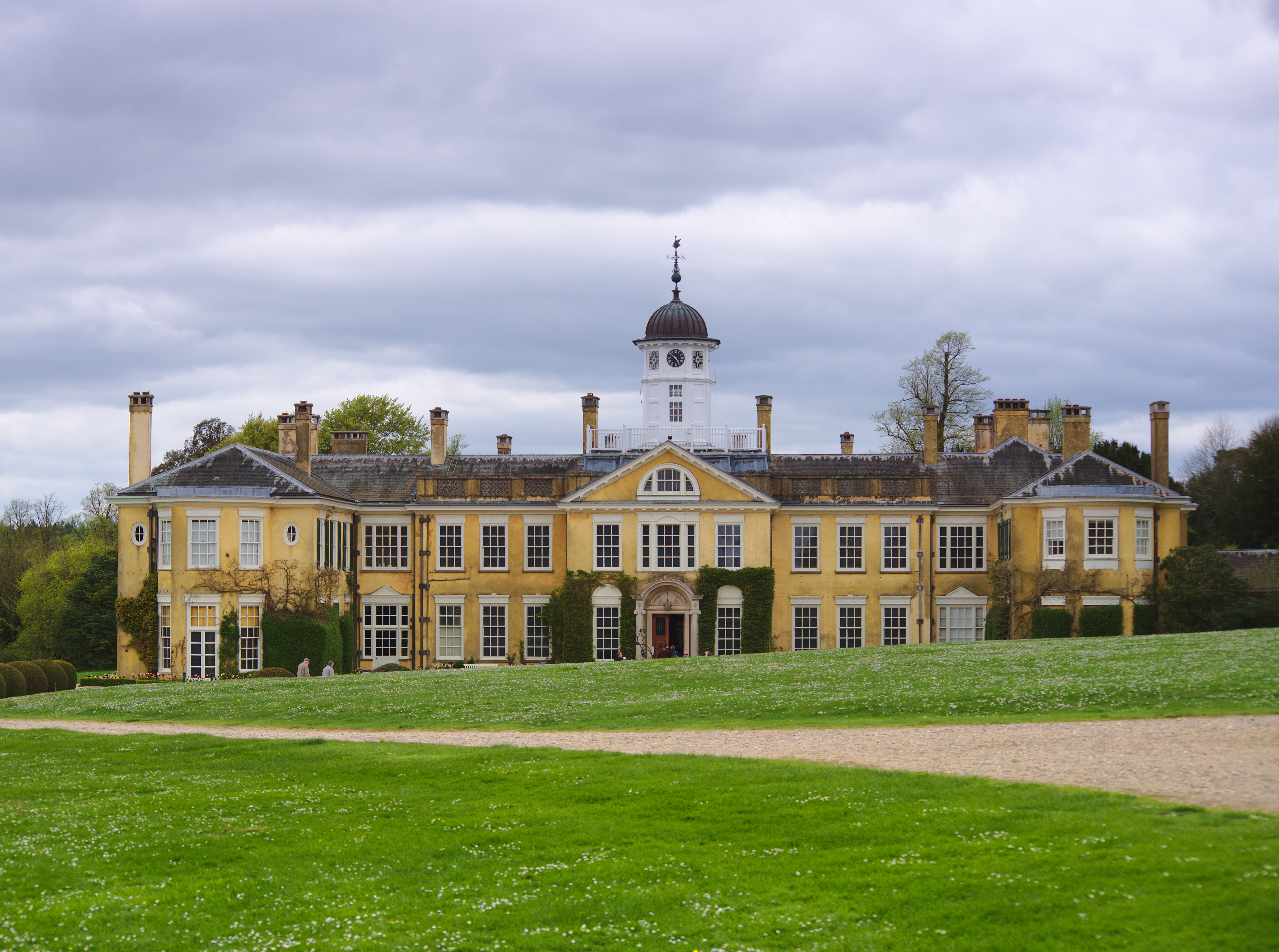
Polesden Lacey
Polesden Lacey is an Edwardian house and estate, located on the North Downs at Great Bookham, near Dorking, Surrey, England. It is owned and run by the...

Ranmore Common SSSI
Ranmore Common SSSI is a 224.3-hectare (554-acre) biological Site of Special Scientific Interest in Ranmore Common, north-west of Dorking in Surrey.This...
St Teresa's School Effingham
St Teresa's Effingham is a selective, independent boarding and day school for girls aged 2–18 in Effingham, Surrey, England, established in 1928. It is...
Ranmore Common
Ranmore Common, also known as Ranmore Commons, is an area of wooded former common land on the North Downs, immediately northwest of Dorking in the English...

Effingham Hundred
Effingham Hundred or the Hundred of Effingham was a hundred but often treated as a half-hundred with that of Copthorne (to the east and north-east) and...

Manor House School, Little Bookham
Manor House School is a selective independent day school for girls located in Little Bookham, Surrey, England. == History == Manor House School began as...

Stockbroker Belt
The Stockbroker Belt is a loosely defined region overlapping the borders of the London metropolitan area and the commuter region surrounding Greater London...

List of local nature reserves in Surrey
Local nature reserves are designated by local authorities under the National Parks and Access to the Countryside Act 1949. The local authority must have...
Nearby Amenities
Located within 500m of 51.251373,-0.37883949Have you been to Yewtree Shaw?
Leave your review of Yewtree Shaw below (or comments, questions and feedback).