Messina Plantation
Wood, Forest in Hertfordshire North Hertfordshire
England
Messina Plantation
Messina Plantation is a sprawling woodland located in Hertfordshire, England. Situated in the heart of the county, this picturesque forest covers an area of approximately 200 acres. The plantation is known for its dense and diverse collection of trees, creating a haven for both wildlife and nature enthusiasts.
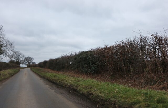
The woodlands of Messina Plantation are primarily composed of broadleaf trees, including oak, beech, and chestnut. Their towering canopies provide ample shade and create a serene atmosphere for visitors to explore. Additionally, the forest floor is adorned with an array of vibrant wildflowers, adding a burst of color to the landscape.
The plantation boasts a network of well-maintained hiking trails, allowing visitors to immerse themselves in the natural beauty of the area. These paths wind through the forest, leading explorers along babbling brooks, over wooden bridges, and past picturesque clearings. Along the way, one may encounter a variety of wildlife, such as deer, foxes, and a plethora of bird species.
Messina Plantation also serves as an important ecological habitat, supporting a diverse ecosystem. The woodland provides shelter and sustenance for a range of animals, birds, and insects. Conservation efforts are in place to ensure the preservation of this important natural habitat, making it a vital part of Hertfordshire's environmental landscape.
Overall, Messina Plantation is a breathtaking natural retreat that offers a tranquil escape from the hustle and bustle of everyday life. Its rich biodiversity, well-maintained trails, and peaceful ambiance make it a must-visit destination for nature lovers and those seeking a serene woodland experience.
If you have any feedback on the listing, please let us know in the comments section below.
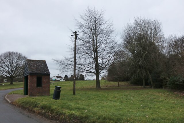
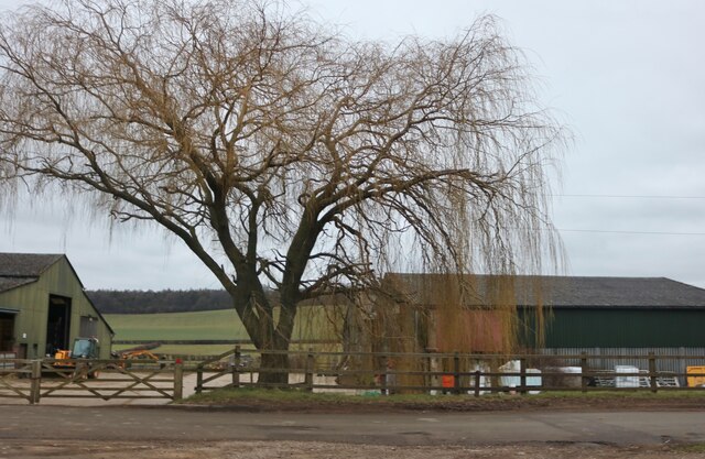
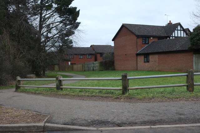
Messina Plantation Images
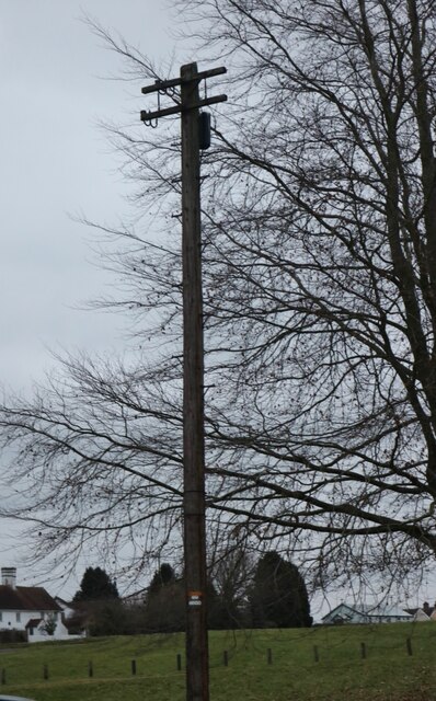
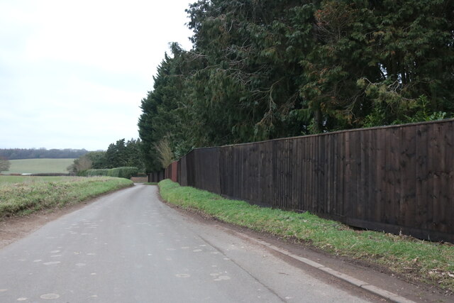
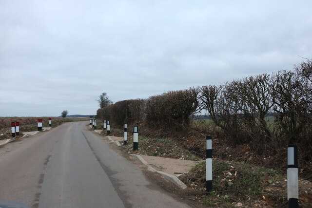
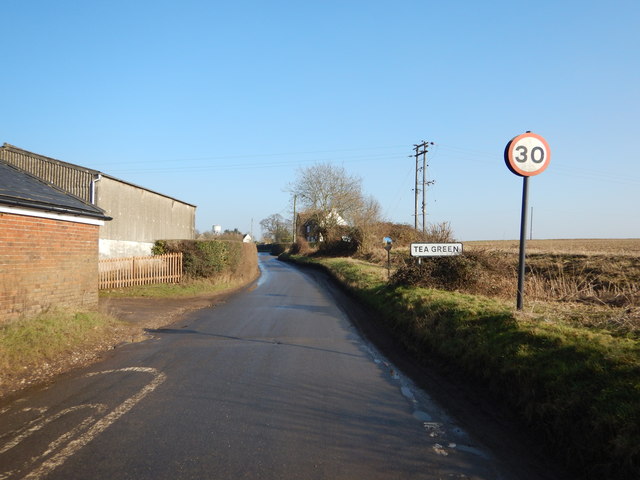
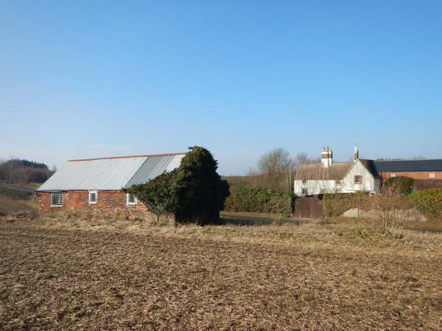
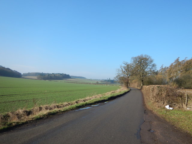
Images are sourced within 2km of 51.903313/-0.36258365 or Grid Reference TL1224. Thanks to Geograph Open Source API. All images are credited.
Messina Plantation is located at Grid Ref: TL1224 (Lat: 51.903313, Lng: -0.36258365)
Administrative County: Hertfordshire
District: North Hertfordshire
Police Authority: Hertfordshire
What 3 Words
///quest.gosh.notice. Near Luton, Bedfordshire
Nearby Locations
Related Wikis
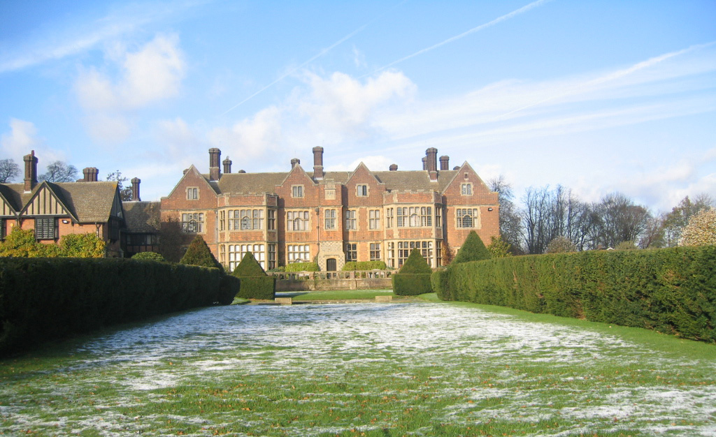
Putteridge Bury
Putteridge Bury is a country house on the edge of the built-up area of Luton, Bedfordshire, England but located just over the county boundary in the parish...

Wigmore, Luton
Wigmore is a suburb of Luton about 2 miles (3.2 km) east north-east of the town centre, and a ward of the Borough of Luton, in the ceremonial county of...
Putteridge
Putteridge is a suburb at the north-eastern edge of Luton, in Bedfordshire, England. Putteridge is a little over 2 miles (3.2 km) from Luton town centre...
Putteridge High School
Putteridge High School is a co-educational secondary school located in the Putteridge area of Luton, in the English county of Bedfordshire. == History... ==
Nearby Amenities
Located within 500m of 51.903313,-0.36258365Have you been to Messina Plantation?
Leave your review of Messina Plantation below (or comments, questions and feedback).