Hawleydell Plantation
Wood, Forest in Hertfordshire North Hertfordshire
England
Hawleydell Plantation
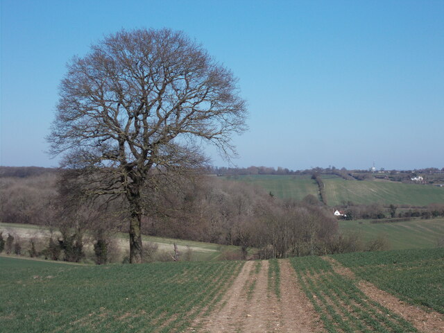
Hawleydell Plantation is a serene and picturesque woodland located in the county of Hertfordshire, England. Situated near the village of Wood, this plantation spans over a vast area, encompassing dense forests and lush green meadows. The plantation is a haven for nature enthusiasts and offers a tranquil escape from the hustle and bustle of city life.
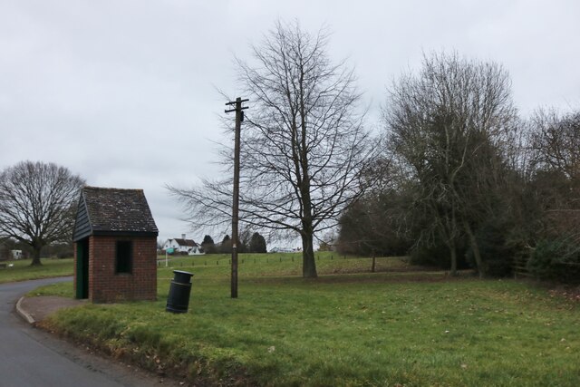
The woodland at Hawleydell Plantation is dominated by a variety of tree species, including oak, beech, and birch, which create a rich and diverse ecosystem. The dense foliage provides a habitat for numerous wildlife species, including deer, foxes, and a wide range of bird species. It is not uncommon to spot a red kite soaring above the treetops or hear the melodic songs of various woodland birds.
The plantation is also home to several well-maintained walking trails, allowing visitors to explore and appreciate the natural beauty of the area. These trails wind through the woodland, offering glimpses of enchanting clearings and hidden streams along the way. The plantation is particularly popular during the spring and summer months when the forest floor comes alive with vibrant wildflowers.
Hawleydell Plantation is a cherished natural gem in Hertfordshire, attracting visitors from far and wide. Its peaceful atmosphere, combined with the abundance of flora and fauna, makes it an idyllic spot for nature lovers, hikers, and photographers. Whether one seeks a quiet retreat or an opportunity to reconnect with nature, Hawleydell Plantation offers a truly enchanting experience.
If you have any feedback on the listing, please let us know in the comments section below.
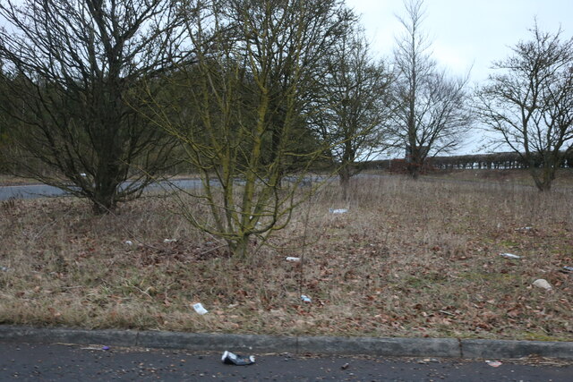
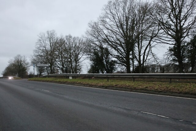
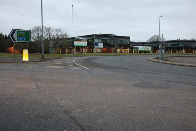
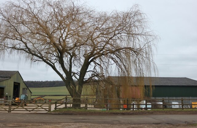
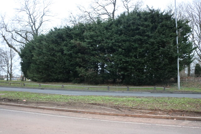
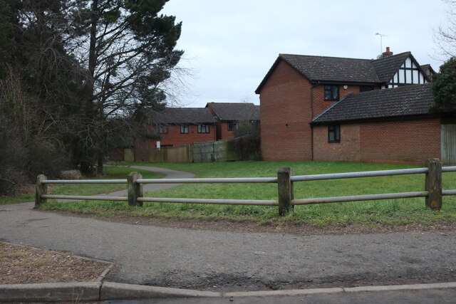
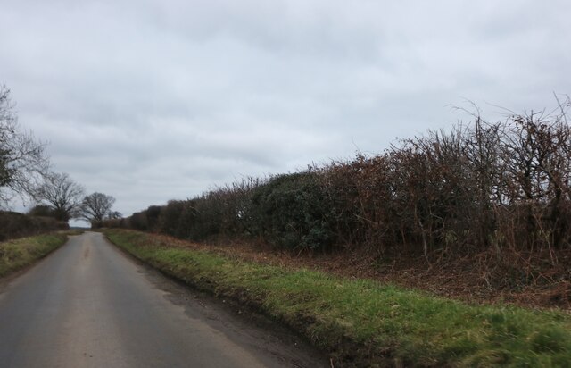
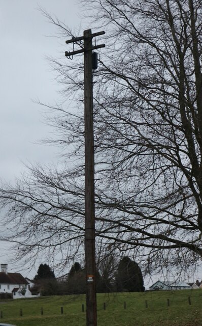
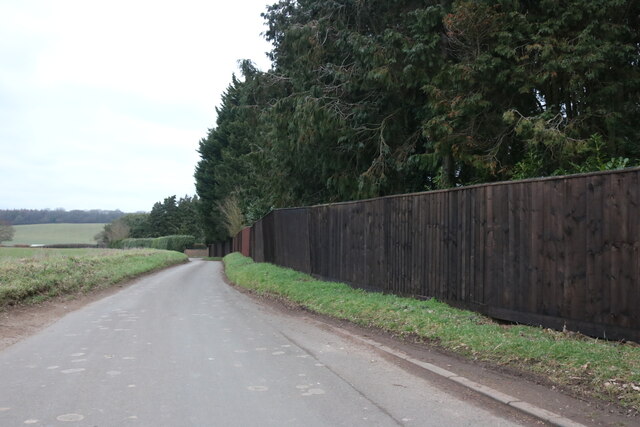
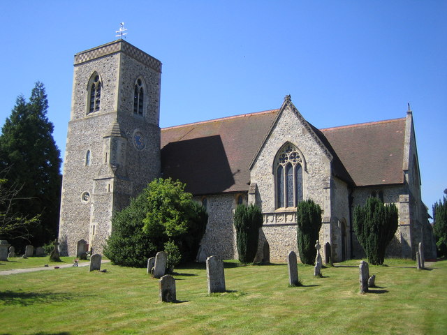
Hawleydell Plantation Images
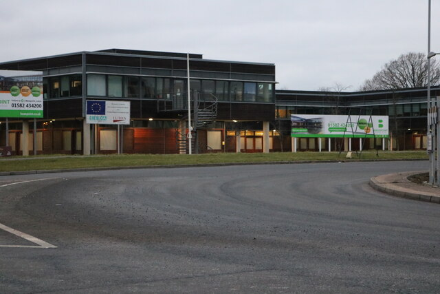
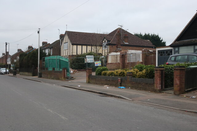
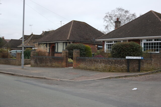
Images are sourced within 2km of 51.907756/-0.36974907 or Grid Reference TL1224. Thanks to Geograph Open Source API. All images are credited.
Hawleydell Plantation is located at Grid Ref: TL1224 (Lat: 51.907756, Lng: -0.36974907)
Administrative County: Hertfordshire
District: North Hertfordshire
Police Authority: Hertfordshire
What 3 Words
///trying.rating.loses. Near Luton, Bedfordshire
Nearby Locations
Related Wikis
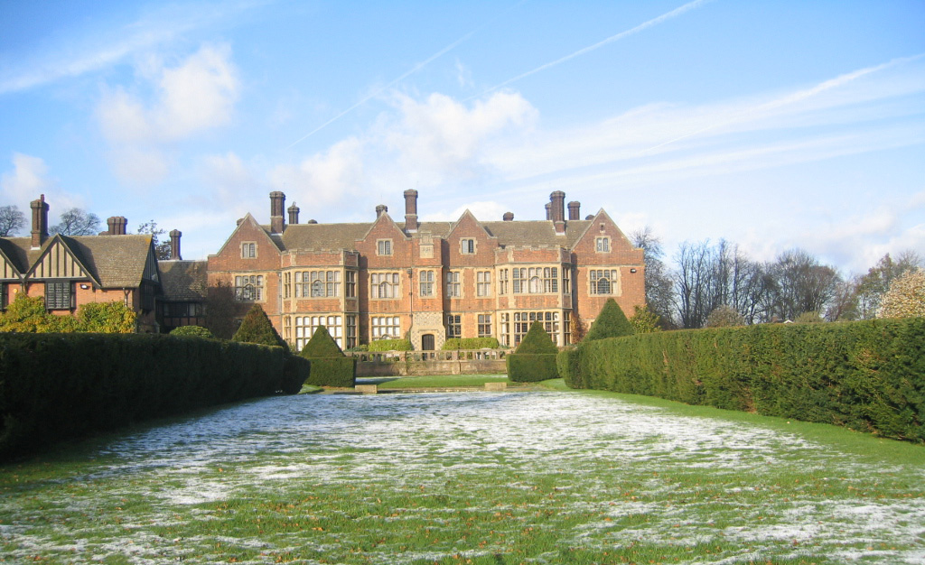
Putteridge Bury
Putteridge Bury is a country house on the edge of the built-up area of Luton, Bedfordshire, England but located just over the county boundary in the parish...

Putteridge
Putteridge is a suburb at the north-eastern edge of Luton, in Bedfordshire, England. Putteridge is a little over 2 miles (3.2 km) from Luton town centre...
Putteridge High School
Putteridge High School is a co-educational secondary school located in the Putteridge area of Luton, in the English county of Bedfordshire. == History... ==
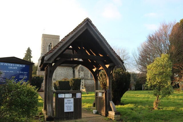
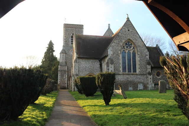
Lilley, Hertfordshire
Lilley is a small village and civil parish situated between Hitchin and Luton in Hertfordshire, England. Lilley stands on high ground: nearby Telegraph...
Wigmore, Luton
Wigmore is a suburb of Luton about 2 miles (3.2 km) east north-east of the town centre, and a ward of the Borough of Luton, in the ceremonial county of...
Ramridge End
Ramridge End is a small suburb in the east of Luton, in Bedfordshire, England. The area is roughly bounded by Brays Road to the north, Someries Hill to...
Butterfield Green
Butterfield Green is a hamlet in the north of Luton, Bedfordshire, England. It is the location for the new 85-acre (340,000 m2) Butterfield Business and...
Crawley Green
Crawley Green is a suburb of south-east Luton near to London Luton Airport, in the Borough of Luton, Bedfordshire, England. The area is roughly bounded...
Nearby Amenities
Located within 500m of 51.907756,-0.36974907Have you been to Hawleydell Plantation?
Leave your review of Hawleydell Plantation below (or comments, questions and feedback).