No Man's Land
Wood, Forest in Sussex Worthing
England
No Man's Land
![View west across Nepcote Green The building on the left is the Wattle House. It dates from the end of the 1700s when it was used to store wattle hurdles for the sheep pens used during the annual sheep fair. [<span class="nowrap"><a title="https://fancyfreewalks.org/W.Sussex/Findon.pdf" rel="nofollow ugc noopener" href="https://fancyfreewalks.org/W.Sussex/Findon.pdf">Link</a><img style="margin-left:2px;" alt="External link" title="External link - shift click to open in new window" src="https://s1.geograph.org.uk/img/external.png" width="10" height="10"/></span>]](https://s3.geograph.org.uk/geophotos/07/64/87/7648795_e513f30a.jpg)
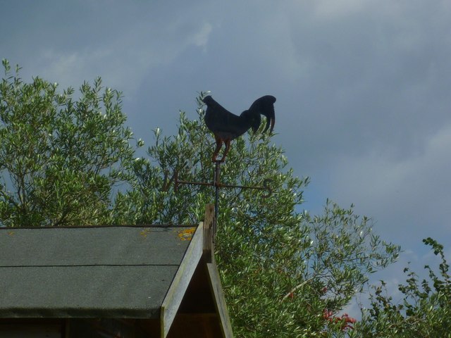
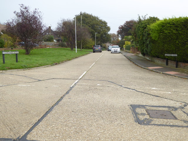
No Man's Land, Sussex is a picturesque and serene woodland area located in the southern part of England, specifically in the county of Sussex. Covering a vast expanse of land, this forested area is known for its untouched beauty and rich biodiversity.
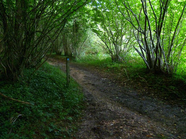
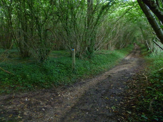
No Man's Land is characterized by its dense and diverse vegetation, consisting of a variety of tree species such as oak, beech, and birch. The forest floor is carpeted with a lush layer of moss, ferns, and wildflowers, creating a vibrant and enchanting atmosphere. The overall landscape is hilly and undulating, with small streams and brooks meandering through the forest, adding to its natural charm.
The woodland is home to a wide range of wildlife, including various species of birds, mammals, and reptiles. Birdwatchers can spot numerous feathered creatures such as woodpeckers, owls, and thrushes, while nature enthusiasts may catch a glimpse of squirrels, foxes, and deer.
No Man's Land provides ample opportunities for outdoor activities and exploration. There are several well-marked hiking trails that wind through the forest, allowing visitors to immerse themselves in nature and enjoy the tranquility. The forest also offers a peaceful setting for picnics or simply unwinding amidst the beauty of the natural surroundings.
Managed by local authorities, No Man's Land is a designated nature reserve, ensuring the preservation and protection of its unique ecosystem. Its untouched and unspoiled beauty makes it a popular destination for nature lovers and those seeking a peaceful retreat away from the hustle and bustle of daily life.
If you have any feedback on the listing, please let us know in the comments section below.
No Man's Land Images
Images are sourced within 2km of 50.852251/-0.40703604 or Grid Reference TQ1207. Thanks to Geograph Open Source API. All images are credited.


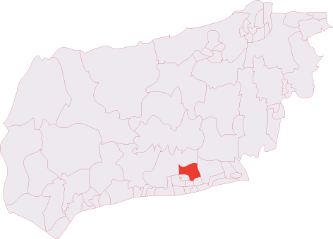
No Man's Land is located at Grid Ref: TQ1207 (Lat: 50.852251, Lng: -0.40703604)
Administrative County: West Sussex
District: Worthing
Police Authority: Sussex
What 3 Words
///torch.upwardly.books. Near Findon, West Sussex
Nearby Locations
Related Wikis

High Salvington
High Salvington is a neighbourhood of Worthing, in the borough of Worthing in West Sussex, England. It is centred 2.5 miles (4.0 km) northwest of the town...
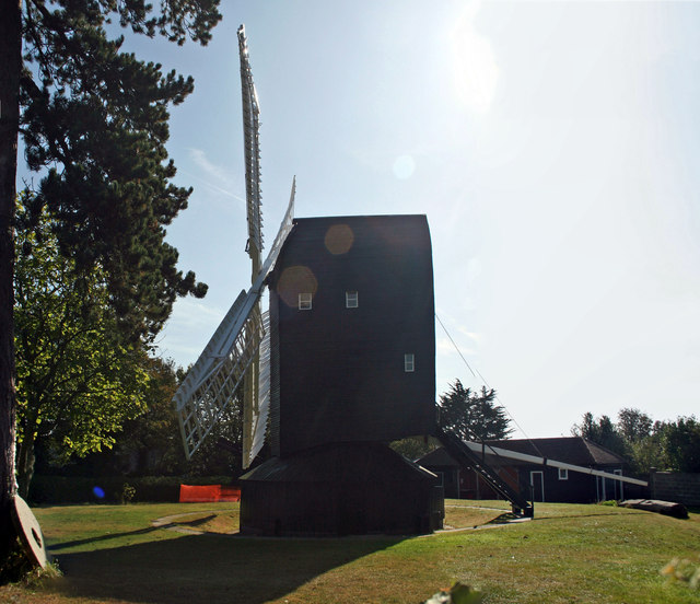
High Salvington Windmill
Durrington or High Salvington Windmill is a Grade II listed post mill in High Salvington, Sussex that has been restored and is in full working order....

Findon Valley
Findon Valley is a neighbourhood of Worthing, in the borough of Worthing in West Sussex, England. It lies on the A24 road 2.9 miles (4.7 km) north of the...
Cissbury (electoral division)
Cissbury is an electoral division of West Sussex in the United Kingdom, and returns one member to sit on West Sussex County Council. == Extent == The division...

Cote, West Sussex
Cote (also Walcote or Coate) was a hamlet in the former parish of Durrington, West Sussex (now a suburb of Worthing), England. It is 3.25 miles (5.23 km...

Church Hill, West Sussex
Church Hill is an archaeological site, of the Neolithic and Bronze Age periods, in West Sussex, England. It is on the South Downs near the village of Findon...

Worthing Golf Club
Worthing Golf Club is a golf club on the South Downs at Worthing, England. Located close to the Iron Age hill fort of Cissbury Ring in the new South Downs...

Findon, West Sussex
Findon is a semi-rural clustered village and civil parish in the Arun District of West Sussex, England, 4 miles (6.4 km) north of Worthing. == Governance... ==
Nearby Amenities
Located within 500m of 50.852251,-0.40703604Have you been to No Man's Land?
Leave your review of No Man's Land below (or comments, questions and feedback).