Fiddler's Acre
Wood, Forest in Huntingdonshire Huntingdonshire
England
Fiddler's Acre
Fiddler's Acre is a small woodland area located in Huntingdonshire, a historic county in the East of England. Situated near the village of Wood, this forested area covers approximately 200 acres of land. It is a popular destination for nature enthusiasts and those seeking a peaceful retreat from the hustle and bustle of urban life.
The woodland of Fiddler's Acre is predominantly made up of native tree species such as oak, birch, and beech, creating a diverse and vibrant ecosystem. The forest floor is covered in a thick carpet of moss, ferns, and wildflowers, providing a haven for various wildlife including birds, squirrels, and deer.
Visitors to Fiddler's Acre can enjoy exploring the numerous walking trails that meander through the woodland. These paths lead to hidden glades, picturesque streams, and secluded picnic spots, offering ample opportunities for relaxation and outdoor activities. The tranquil ambiance of the forest attracts photographers, artists, and nature enthusiasts who often capture the beauty of the surroundings.
The management of Fiddler's Acre is overseen by the local Forestry Commission, ensuring the preservation of its natural beauty and biodiversity. The woodland is periodically thinned and selective tree felling takes place to maintain a healthy and sustainable forest environment.
Overall, Fiddler's Acre in Huntingdonshire is a cherished natural resource that provides a serene escape into the heart of nature. Its diverse flora and fauna, combined with its well-maintained pathways, make it a delightful destination for individuals seeking solace in the beauty of the woodlands.
If you have any feedback on the listing, please let us know in the comments section below.
Fiddler's Acre Images
Images are sourced within 2km of 52.305198/-0.36410768 or Grid Reference TL1168. Thanks to Geograph Open Source API. All images are credited.


Fiddler's Acre is located at Grid Ref: TL1168 (Lat: 52.305198, Lng: -0.36410768)
Administrative County: Cambridgeshire
District: Huntingdonshire
Police Authority: Cambridgeshire
What 3 Words
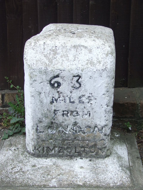
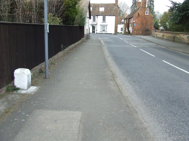
///distracts.president.goodbye. Near Kimbolton, Cambridgeshire
Nearby Locations
Related Wikis

Stonely Priory
Stonely Priory was an Augustinian priory in Cambridgeshire, England. It was dissolved in 1536. == History == A tradition recorded by Leland hold that the...

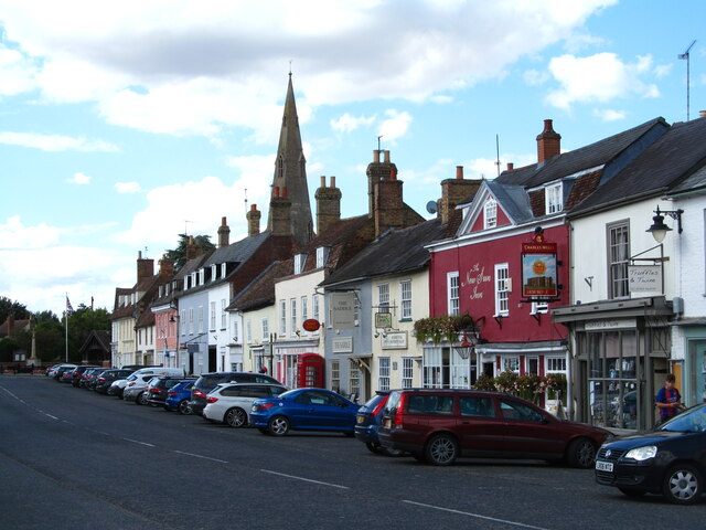
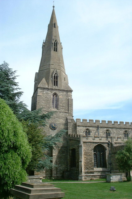
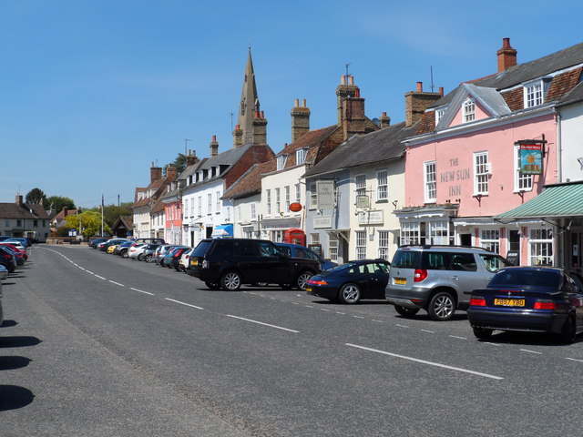
Kimbolton, Cambridgeshire
Kimbolton is a town and civil parish in the Huntingdonshire district of Cambridgeshire, England. Kimbolton is about 9 miles (14 km) west of Huntingdon...
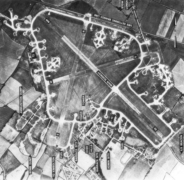
RAF Kimbolton
Royal Air Force Kimbolton or more simply RAF Kimbolton is a former Royal Air Force station located 8 miles (13 km) west of Huntingdon, Cambridgeshire,...

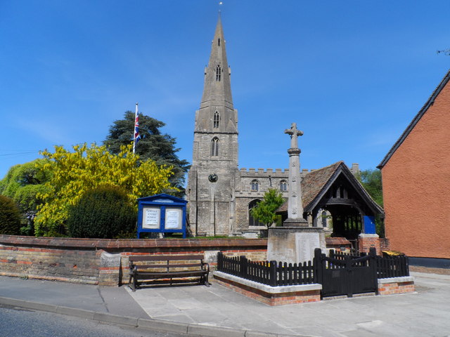
Stonely
Stonely is a hamlet next to Kimbolton in Cambridgeshire, England. It is part of the parish of Kimbolton and Stonely. The hamlet was formerly the site...
Kimbolton School
Kimbolton School is a British HMC co-educational private boarding and day school in the village of Kimbolton, Cambridgeshire, England. There are 1000...

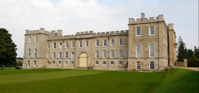
Kimbolton Castle
Kimbolton Castle is a country house in Kimbolton, Cambridgeshire, England. It was the final home of King Henry VIII's first wife, Catherine of Aragon....

Shepherd's Close
Shepherd's Close is a 1.2-hectare (3.0-acre) nature reserve south of Spaldwick in Cambridgeshire. It is managed by the Wildlife Trust for Bedfordshire...
Stow Longa
Stow Longa is a village and civil parish in Cambridgeshire, England. Stow Longa lies approximately 8 miles (13 km) west of Huntingdon and two miles north...
Nearby Amenities
Located within 500m of 52.305198,-0.36410768Have you been to Fiddler's Acre?
Leave your review of Fiddler's Acre below (or comments, questions and feedback).