Ingram's Furze

Wood, Forest in Sussex Horsham

England

Ingram's Furze

Peacocks Lane Peacocks Lane viewed from the junction with Goose Green Lane.
Peacocks Lane Credit: Chris Thomas-Atkin

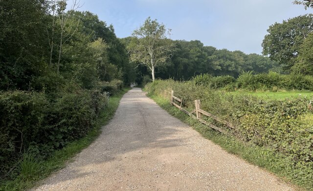
Ingram's Furze is a picturesque woodland located in the county of Sussex, England. Covering an area of approximately 100 acres, this enchanting forest is known for its dense growth of firs and other coniferous trees. The woodland is situated in the heart of Sussex, surrounded by rolling hills and meandering streams, adding to its natural allure.

The woodland's name, Ingram's Furze, is derived from the local dialect, "furze" being a term for gorse bushes that once thrived in the area. While these bushes are now less prevalent, the woodland remains abundant with a diverse range of flora and fauna. Visitors to the forest are greeted by a carpet of bluebells in the spring, creating a breathtaking spectacle.

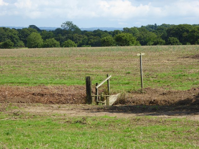
Ingram's Furze offers visitors a tranquil and serene atmosphere, making it a popular destination for nature lovers and outdoor enthusiasts. The woodland provides numerous walking trails, allowing visitors to immerse themselves in the natural beauty of the area. These paths wind through the towering trees, providing glimpses of wildlife such as deer, foxes, and a variety of bird species.

Additionally, the forest is home to a rich history. Archaeological finds indicate human presence in the area dating back thousands of years, with remnants of ancient settlements and burial mounds. This historical significance adds another layer of intrigue to the woodland, attracting those with an interest in the region's past.

Overall, Ingram's Furze is a captivating woodland sanctuary that offers a peaceful retreat from the hustle and bustle of everyday life. With its lush vegetation, diverse wildlife, and rich history, it continues to enchant visitors with its natural beauty and charm.

If you have any feedback on the listing, please let us know in the comments section below.

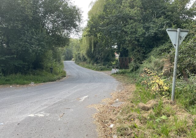
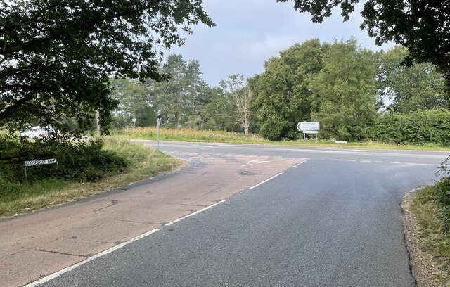
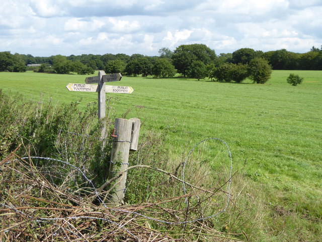
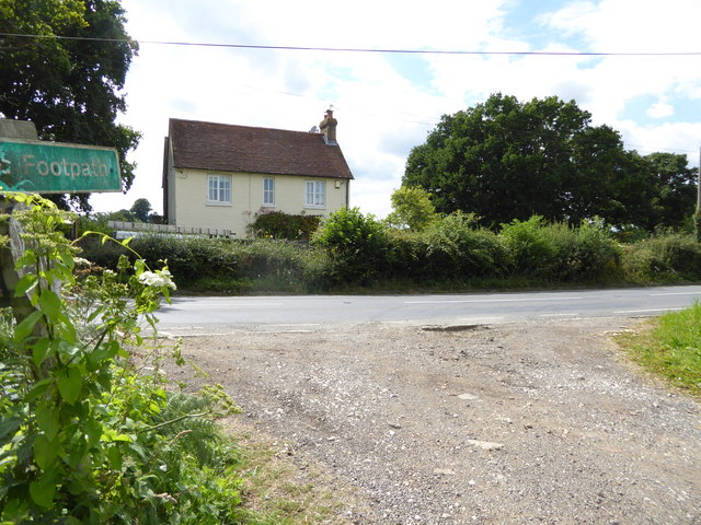
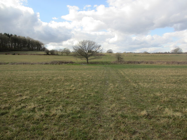
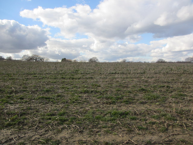
Ingram's Furze Images

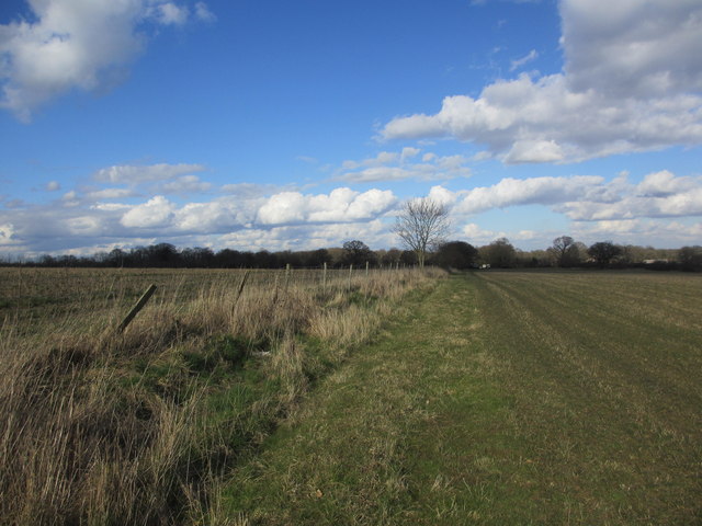
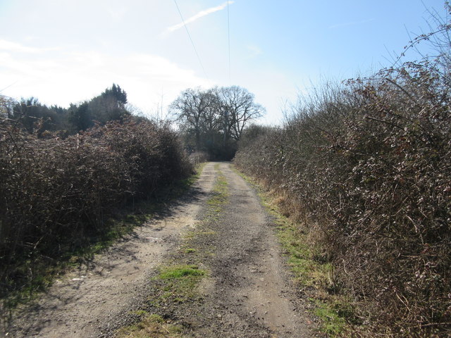
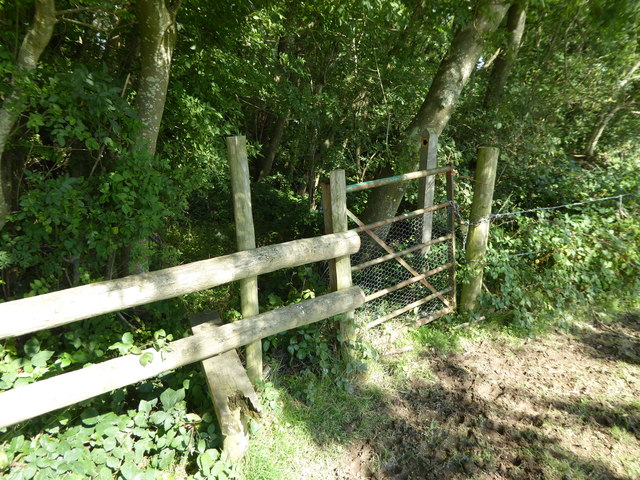
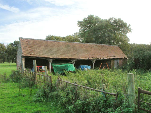
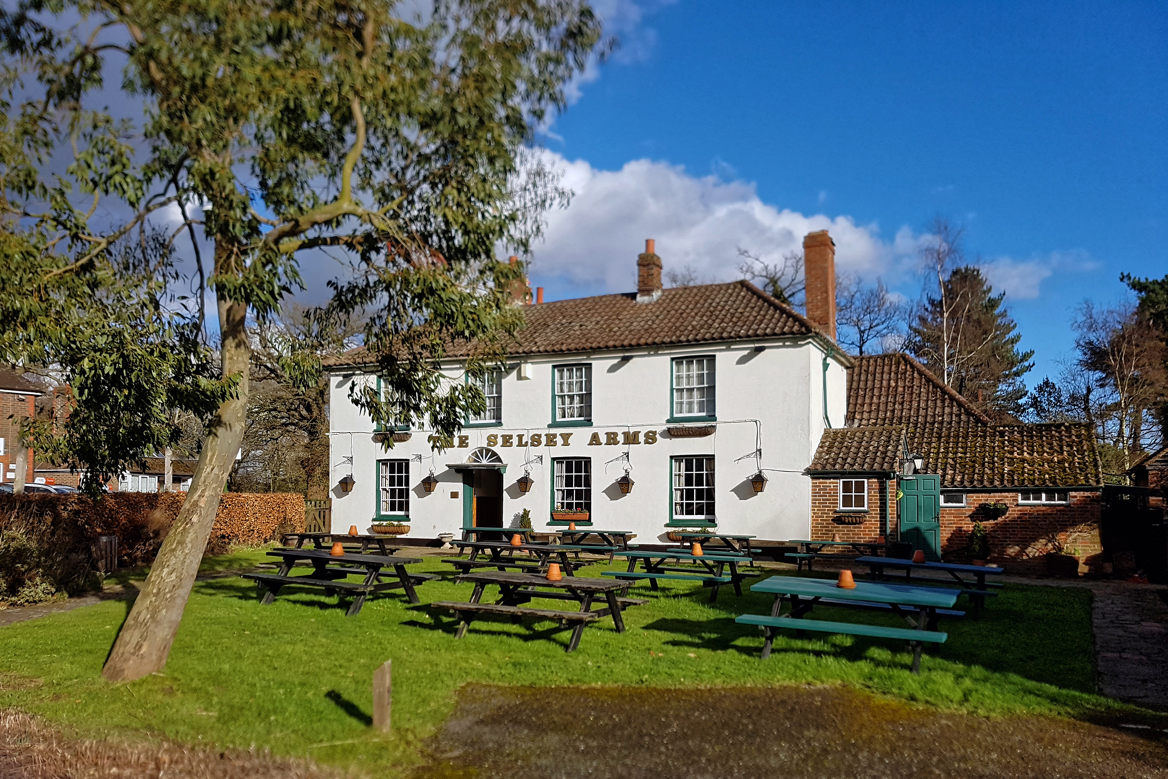
Images are sourced within 2km of 50.972686/-0.41162218 or Grid Reference TQ1120. Thanks to Geograph Open Source API. All images are credited.

Peacocks Lane Peacocks Lane viewed from the junction with Goose Green Lane.
Peacocks Lane
Peacocks Lane viewed from the junction with Goose Green Lane.
Coolham Road The junction of Goose Green Lane with Coolham Road.
Coolham Road
The junction of Goose Green Lane with Coolham Road.
Track to Great Danhill Wood The track viewed from Harbolets Road.
Track to Great Danhill Wood
The track viewed from Harbolets Road.
Footpath bridge over ditch by High Copse Farm
Crossing of footpaths east of Broadford Bridge Road
"Hillside" on Harbolets Road
House opposite footpath junction on Harbolets Road
Crossing fields Public footpath 2359.
Crossing fields
Public footpath 2359.
No defined footpath Apparent route of public footpath 2359 to Broadford Bridge Road.
No defined footpath
Apparent route of public footpath 2359 to Broadford Bridge Road.
Route to Yew Tree Farm Apparent route of public footpath 2356 to Harbolets Road (B2133).
Route to Yew Tree Farm
Apparent route of public footpath 2356 to Harbolets Road (B2133).
Track between hedges Public footpath 2350 to Harbolets Road.
Track between hedges
Public footpath 2350 to Harbolets Road.
Track to Harbolets Road Public footpath 2350 from Southway Stud.
Track to Harbolets Road
Public footpath 2350 from Southway Stud.
Footpath enters London Copse
Danhill Farm Seen from farm entrance on Harbolets Road (B2133) near junction with Coolham Road (B2139).
Danhill Farm
Seen from farm entrance on Harbolets Road (B2133) near junction with Coolham Road (B2139).
Junction of Harbolets Road and Coolham Road From Harbolets Road (B2133) near <a href="https://www.geograph.org.uk/photo/257724">TQ1019 : Danhill Farm</a>with the Coolham Road (B2139) crossing left to right in the middle distance.
Junction of Harbolets Road and Coolham Road
From Harbolets Road (B2133) near TQ1019 : Danhill Farmwith the Coolham Road (B2139) crossing left to right in the middle distance.
Nine Corner Field Hovel Now home to agricultural machinery.
Nine Corner Field Hovel
Now home to agricultural machinery.
Footpath 2360 from junction of B2139 and B2133 The footpath enters the drive to Apsley Farm to the left of the B2133 and continues, past Palace Land Farm, Brookhouse Farm, Benton's Farm to Dial Post.
Footpath 2360 from junction of B2139 and B2133
The footpath enters the drive to Apsley Farm to the left of the B2133 and continues, past Palace Land Farm, Brookhouse Farm, Benton's Farm to Dial Post.
Pasture land near Danhill Farm In the distance is Woods Hill.
Pasture land near Danhill Farm
In the distance is Woods Hill.
Show me another place!

Ingram's Furze is located at Grid Ref: TQ1120 (Lat: 50.972686, Lng: -0.41162218)

Administrative County: West Sussex

District: Horsham

Police Authority: Sussex

What 3 Words

///rally.paler.clinking. Near Ashington, West Sussex

Related Wikis

Brightling Park

Brightling Park (previously known as Rose Hill) is a country estate which lies in the parishes of Brightling and Dallington in the Rother district of East...

RAF Coolham

Royal Air Force Coolham or more simply RAF Coolham is a former Royal Air Force Advanced Landing Ground located in West Sussex, England. The following units...

Coolham

Coolham is a small village in the civil parish of Shipley and the Horsham District of West Sussex, England. It is located at the crossroads of the A272...

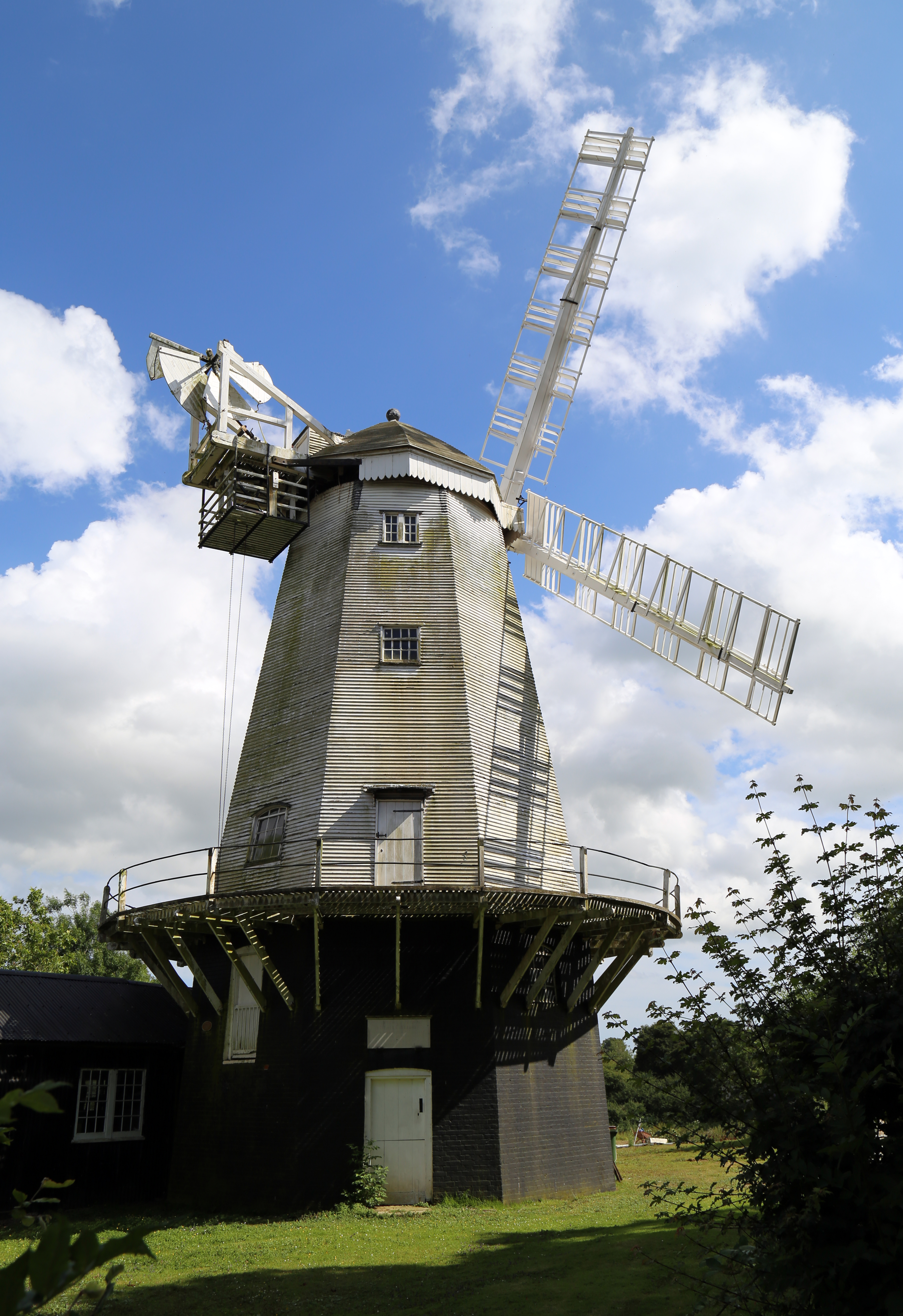
King's Mill, Shipley

King's Mill or Vincent's Mill, Shipley, West Sussex, England, is a smock mill built in 1879. == History == King's Mill was built in 1879 for Friend Martin...

Nearby Amenities

Located within 500m of 50.972686,-0.41162218
Post Box
Ref: RH12 202
Lat/Long: 50.972286/-0.4136307
Coolham Road
Naptan AtcoCode: 4400HR0611
Naptan Bearing: N
Naptan BusStopType: CUS
Naptan CommonName: Coolham Road
Naptan Indicator: HAR
Naptan Landmark: Hail & Ride
Naptan NaptanCode: wsxdtpda
Naptan Street: Coolham Road
Naptan Verified: no
Source: naptan_import
Lat/Long: 50.9738428/-0.4132986
Coolham Road
Naptan AtcoCode: 4400HR0630
Naptan Bearing: S
Naptan BusStopType: CUS
Naptan CommonName: Coolham Road
Naptan Indicator: HAR
Naptan Landmark: Hail & Ride
Naptan NaptanCode: wsxdtpjt
Naptan Street: Coolham Road
Naptan Verified: no
Source: naptan_import
Lat/Long: 50.9738394/-0.4131121
Nightingales Farm
Place: farm
Lat/Long: 50.9750369/-0.4093232
Coolham Manor
Place: isolated_dwelling
Lat/Long: 50.9729793/-0.4175787
Hunger Hill
Place: farm
Lat/Long: 50.9742422/-0.413823
The data included in this document is from www.openstreetmap.org. The data is made available under ODbL.

Have you been to Ingram's Furze?

Leave your review of Ingram's Furze below (or comments, questions and feedback).