Balaclava Spinney
Wood, Forest in Huntingdonshire Huntingdonshire
England
Balaclava Spinney
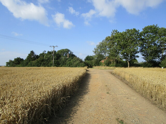
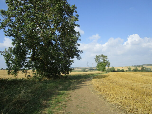
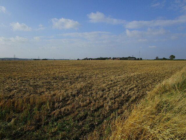
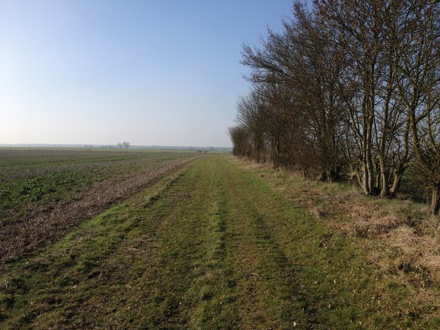
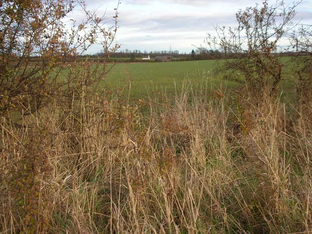
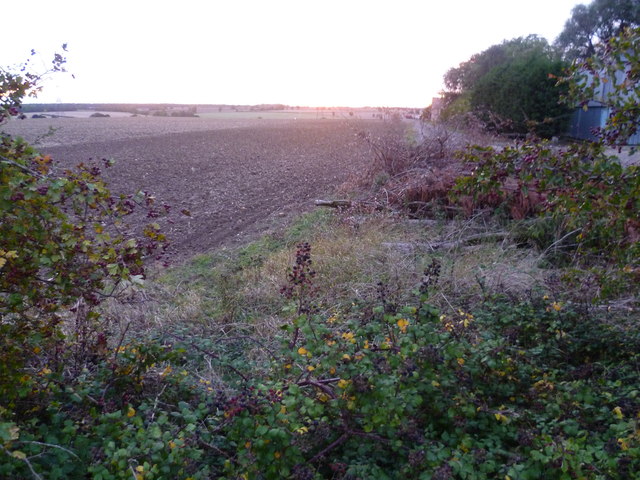
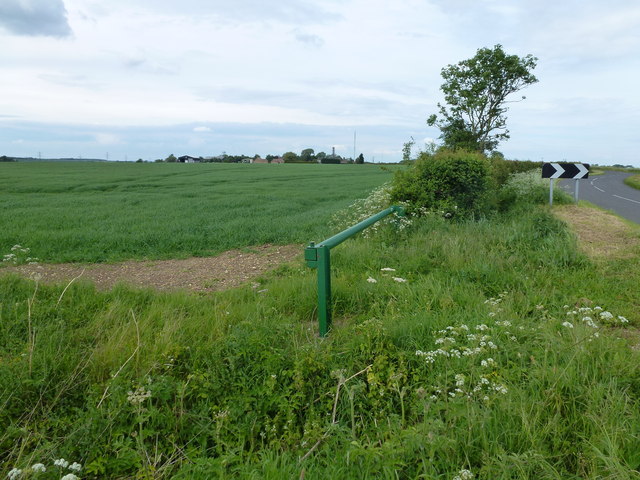
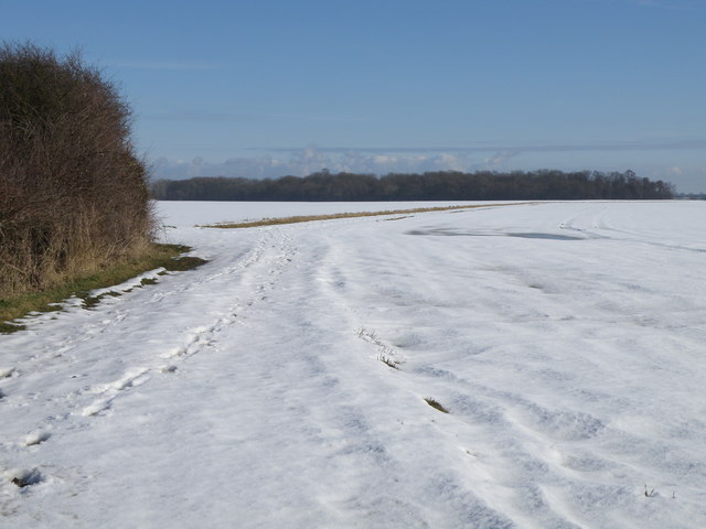
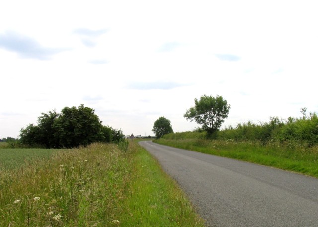
Balaclava Spinney is a picturesque woodland located in Huntingdonshire, a historic county in the eastern part of England. Situated near the village of Balaclava, the spinney covers an area of approximately 20 acres and is known for its dense, mature trees and tranquil atmosphere.
The spinney is predominantly composed of broadleaf trees, including oak, beech, and birch, which provide a rich canopy that filters sunlight and creates a cool, shaded environment. The forest floor is covered in a thick carpet of moss, ferns, and wildflowers, adding to the area's natural beauty.
The spinney is home to a diverse range of wildlife, including various bird species such as woodpeckers, thrushes, and owls. Small mammals like squirrels and hedgehogs can also be spotted scurrying through the undergrowth. Additionally, the spinney is known for its population of butterflies and other insects, attracted to the abundance of nectar-rich flowers.
The woodland is a popular destination for nature enthusiasts, walkers, and birdwatchers, who appreciate the serenity and tranquility it offers. There are well-maintained footpaths that meander through the spinney, allowing visitors to explore its hidden corners and discover the natural wonders within.
Balaclava Spinney is not only a haven for wildlife but also serves as an important ecological site, contributing to the overall biodiversity of the region. Its preservation and protection are key to maintaining the delicate balance of the local ecosystem.
Overall, Balaclava Spinney is a cherished natural gem in Huntingdonshire, providing a peaceful retreat for both nature lovers and those seeking solace in the beauty of the English countryside.
If you have any feedback on the listing, please let us know in the comments section below.
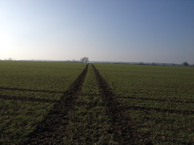
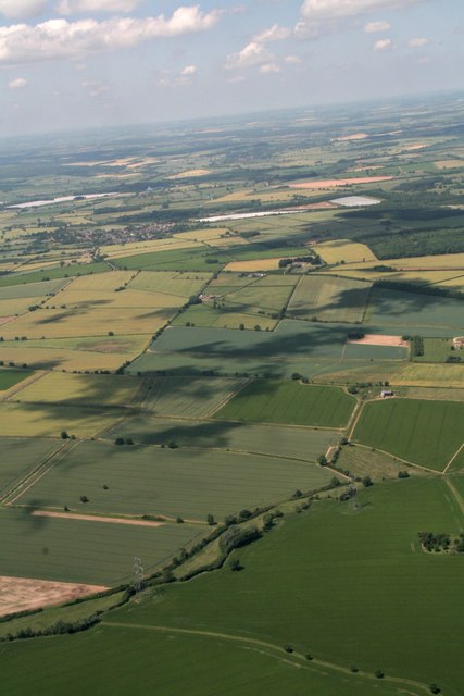
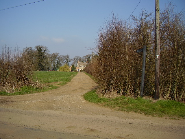
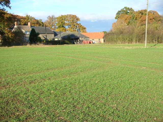
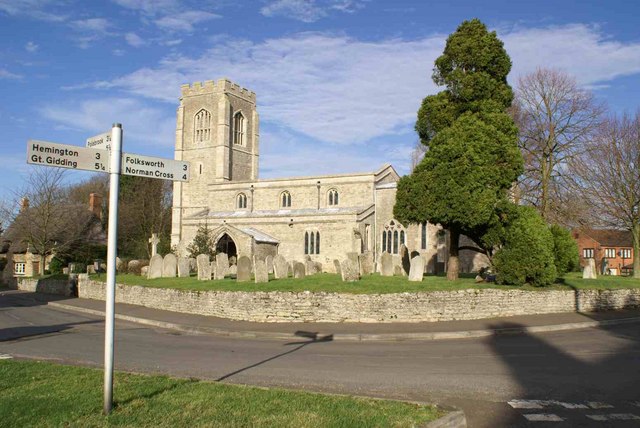
Balaclava Spinney Images
Images are sourced within 2km of 52.505959/-0.35704695 or Grid Reference TL1191. Thanks to Geograph Open Source API. All images are credited.
Balaclava Spinney is located at Grid Ref: TL1191 (Lat: 52.505959, Lng: -0.35704695)
Administrative County: Cambridgeshire
District: Huntingdonshire
Police Authority: Cambridgeshire
What 3 Words
///spectacle.frame.edit. Near Stilton, Cambridgeshire
Nearby Locations
Related Wikis

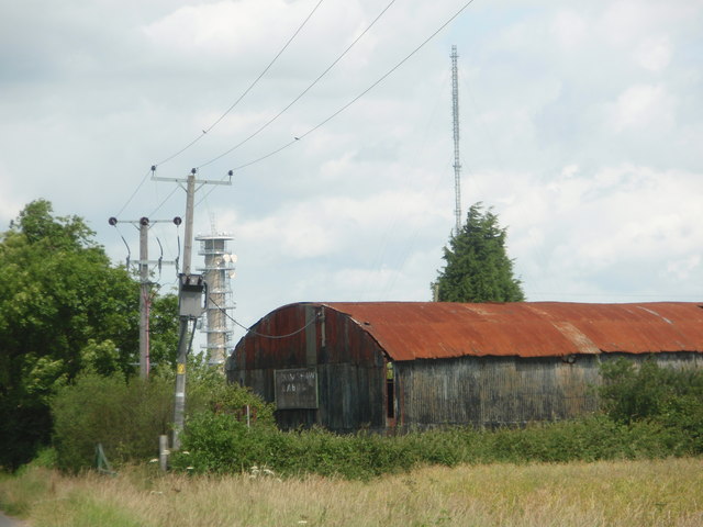
Peterborough transmitting station
The Peterborough transmitting station is a broadcasting and telecommunications facility at Morborne Hill, near Peterborough, England (grid reference TL127913...

Washingley
Washingley is a hamlet and former civil parish, now in the parish of Folksworth and Washingley, in Cambridgeshire, England. Washingley lies approximately...

Morborne
Morborne is a village and civil parish in Cambridgeshire, England. Morborne lies approximately 5 miles (8 km) south-west of Peterborough, near Yaxley....
Folksworth and Washingley
Folksworth and Washingley is a civil parish near Peterborough in Cambridgeshire, England, comprising the villages of Folksworth and Washingley.The parish...
Haddon, Cambridgeshire
Haddon is a village and civil parish in Cambridgeshire, England. Haddon lies approximately 5 miles (8 km) south-west of Peterborough city centre, near...
St Peter's Church, Lutton
St Peter's Church, Lutton is a Grade I Listed medieval church, which stands on the highest point in the village of Lutton, Northamptonshire, England. It...
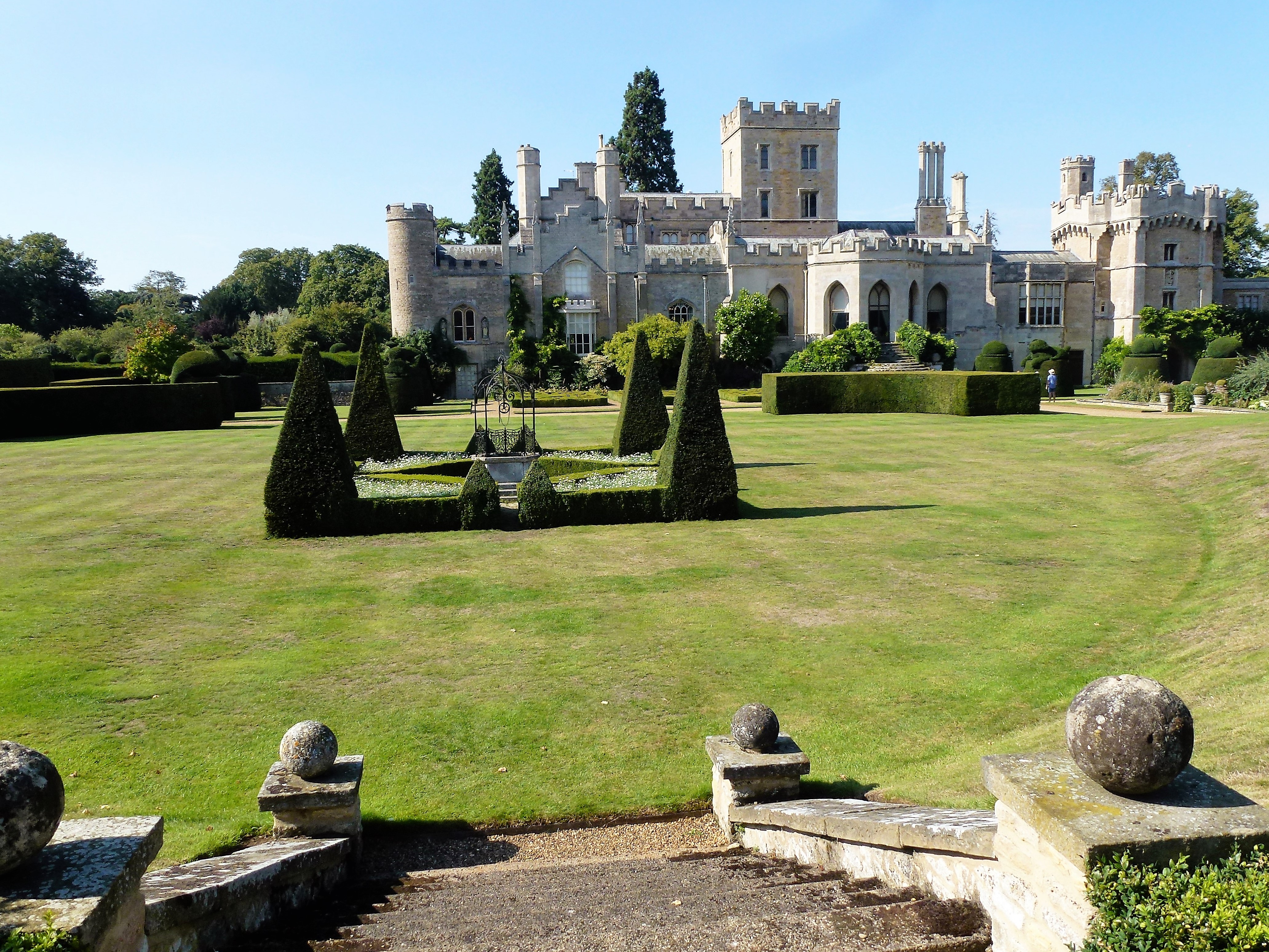
Elton Hall
Elton Hall is a baronial hall in Elton, Cambridgeshire. It has been the ancestral home of the Proby family (sometime known as the Earls of Carysfort)...
Lutton, Northamptonshire
Lutton is a village and civil parish in North Northamptonshire, England. The 2011 Census recorded its parish population as 186.The villages name means...
Nearby Amenities
Located within 500m of 52.505959,-0.35704695Have you been to Balaclava Spinney?
Leave your review of Balaclava Spinney below (or comments, questions and feedback).