Walesby Road Plantation
Wood, Forest in Lincolnshire West Lindsey
England
Walesby Road Plantation
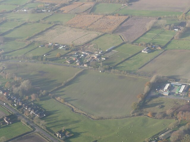
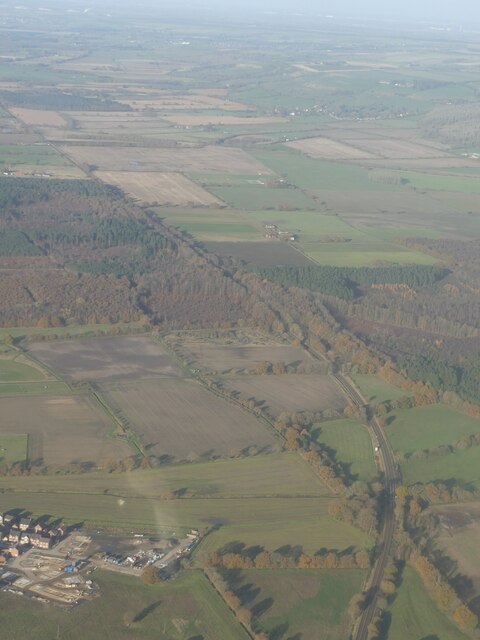
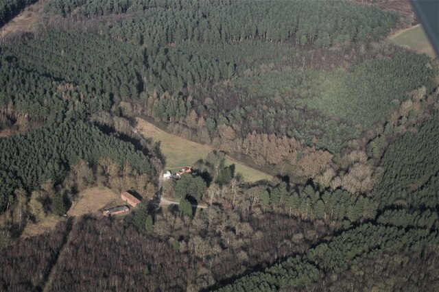
Walesby Road Plantation is a woodland area located in Lincolnshire, England. Covering an approximate area of several hectares, the plantation is situated along Walesby Road, near the village of Walesby.
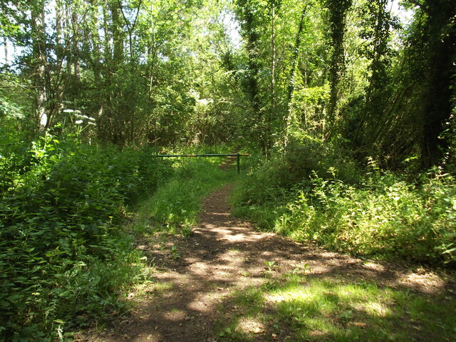
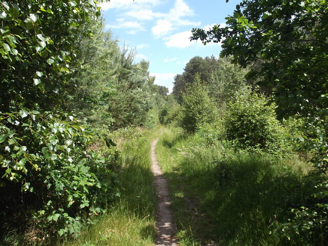
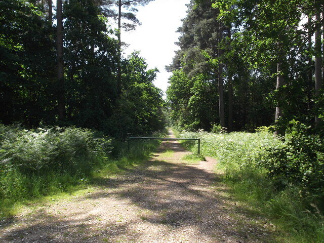
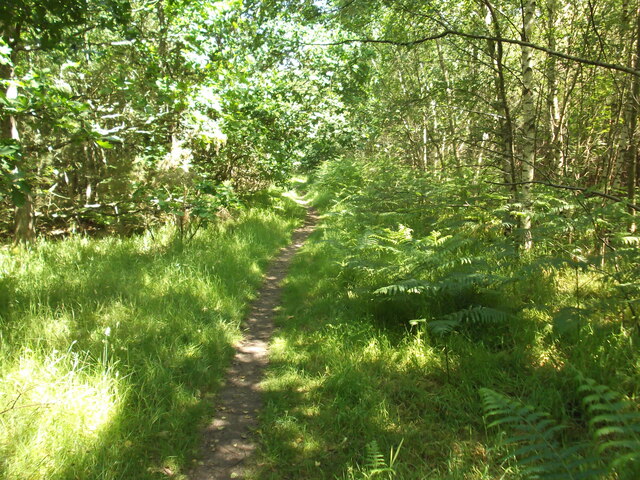
This woodland boasts a diverse range of tree species, including oak, beech, pine, and birch, among others. The trees in the plantation are well-established, with many reaching impressive heights and providing a dense canopy that offers shade and shelter for various wildlife species.
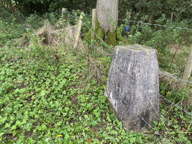
The dense undergrowth of the Walesby Road Plantation provides a rich habitat for a wide array of flora and fauna. The forest floor is covered with a lush carpet of ferns, mosses, wildflowers, and various groundcover plants, creating a vibrant and visually appealing environment.
The plantation is home to a variety of wildlife, including mammals such as deer, foxes, and rabbits. Bird enthusiasts will also be pleased to find an abundance of avian species, including woodpeckers, owls, and songbirds. The woodland's diverse ecosystem attracts a range of insects, including butterflies, bees, and beetles.
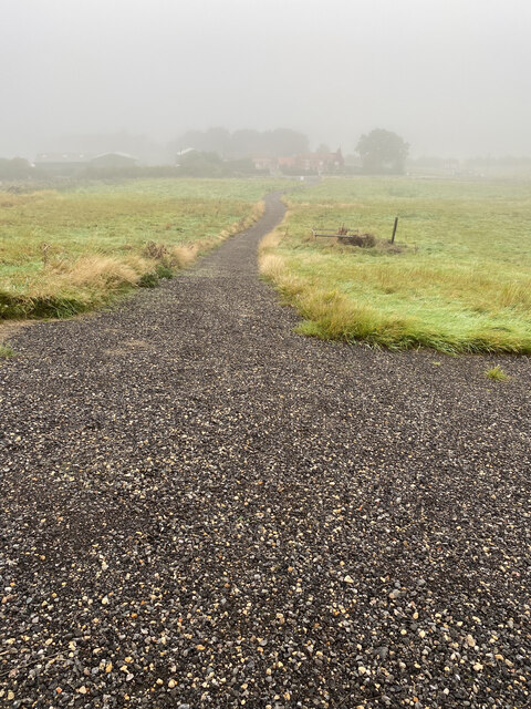
Walesby Road Plantation offers visitors a tranquil and picturesque setting for leisurely walks and nature exploration. The well-maintained paths winding through the woodland allow visitors to experience the beauty of the trees and enjoy the peaceful ambiance. The plantation is a popular destination for nature enthusiasts, photographers, and families seeking a peaceful and natural retreat.
Overall, Walesby Road Plantation is a remarkable woodland area in Lincolnshire, providing a haven for diverse wildlife and offering visitors a serene and scenic environment to connect with nature.
If you have any feedback on the listing, please let us know in the comments section below.
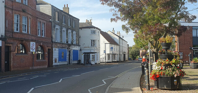
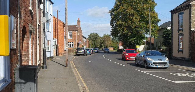
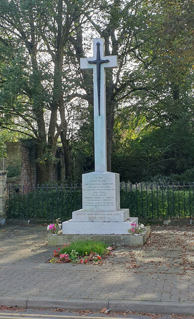
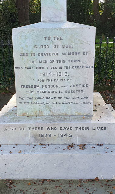
Walesby Road Plantation Images
Images are sourced within 2km of 53.396044/-0.32251361 or Grid Reference TF1190. Thanks to Geograph Open Source API. All images are credited.
Walesby Road Plantation is located at Grid Ref: TF1190 (Lat: 53.396044, Lng: -0.32251361)
Administrative County: Lincolnshire
District: West Lindsey
Police Authority: Lincolnshire
What 3 Words
///seemingly.ponies.exits. Near Market Rasen, Lincolnshire
Nearby Locations
Related Wikis

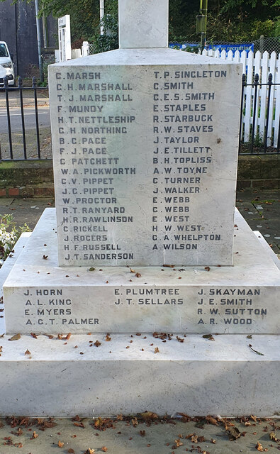
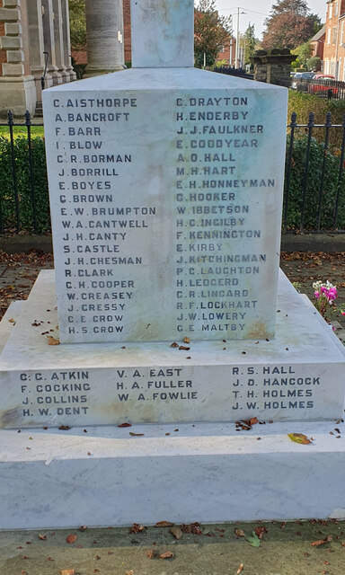
2008 Market Rasen earthquake
On 27 February 2008 at 00:56:47.8s GMT an earthquake occurred at Market Rasen, Lincolnshire. According to the British Geological Survey the earthquake...
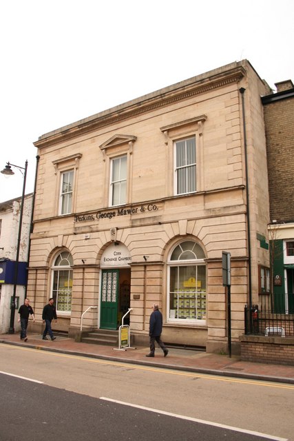
Corn Exchange, Market Rasen
The Corn Exchange is a commercial building in Queen Street, Market Rasen, Lincolnshire, England. The structure, which is used as the offices of a firm...
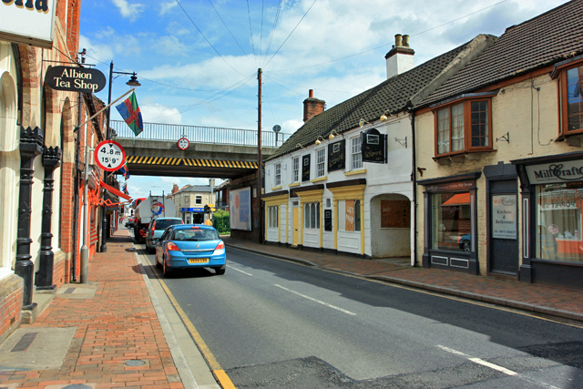
Market Rasen
Market Rasen ( RAY-zən) is a market town and civil parish within the West Lindsey district of Lincolnshire, England. The River Rase runs through it east...

De Aston School
De Aston School is a mixed secondary school with academy status in Market Rasen, Lincolnshire, England. It also has a sixth form but no longer has a boarding...

Holy Rood Church, Market Rasen
Holy Rood Catholic Church is a Roman Catholic parish church located on King Street in Market Rasen, Lincolnshire, England. The church dates from the 19th...

Market Rasen railway station
Market Rasen railway station serves the market town of Market Rasen in Lincolnshire, England. == History == It was built by the Great Grimsby and Sheffield...

Market Rasen Racecourse
Market Rasen Racecourse is a National Hunt racecourse in the town of Market Rasen, in Lincolnshire, England. It is owned and operated by Jockey Club Racecourses...

Middle Rasen
Middle Rasen is a village and civil parish in the West Lindsey district of Lincolnshire, England, located about 1.5 miles (2.4 km) west from the town of...
Nearby Amenities
Located within 500m of 53.396044,-0.32251361Have you been to Walesby Road Plantation?
Leave your review of Walesby Road Plantation below (or comments, questions and feedback).