Firtree Plantation
Wood, Forest in Sussex Horsham
England
Firtree Plantation
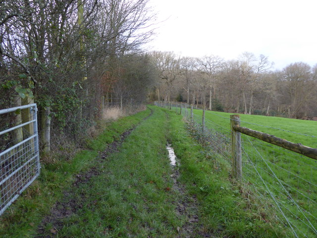
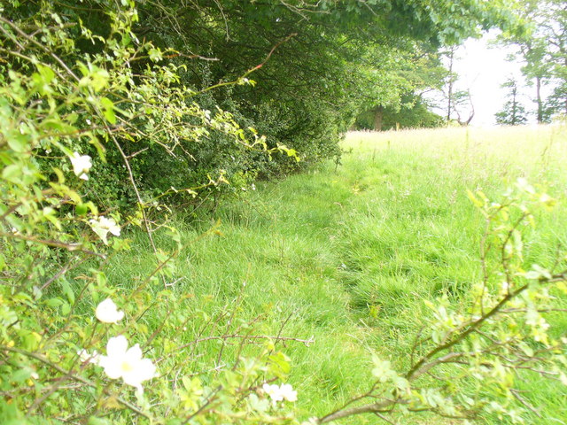
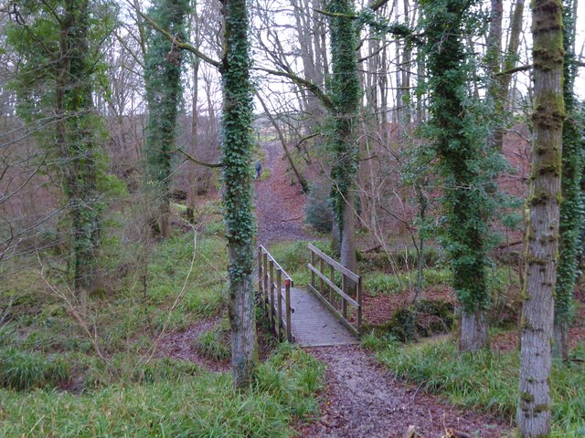
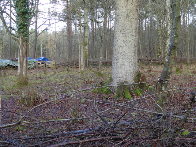
Firtree Plantation is a picturesque woodland located in the county of Sussex, England. Spanning over a vast area, the plantation is notable for its dense growth of fir trees, which lend the forest its name. The plantation is a popular destination for nature enthusiasts, hikers, and those seeking a peaceful retreat in the heart of nature.
The woodland is characterized by its rich biodiversity, with a wide variety of flora and fauna thriving within its boundaries. The towering fir trees dominate the landscape, creating a serene and enchanting atmosphere. The plantation is home to numerous species of wildlife, including deer, squirrels, and a diverse array of bird species. Birdwatchers will be delighted by the opportunity to observe species such as woodpeckers and nightingales in their natural habitat.
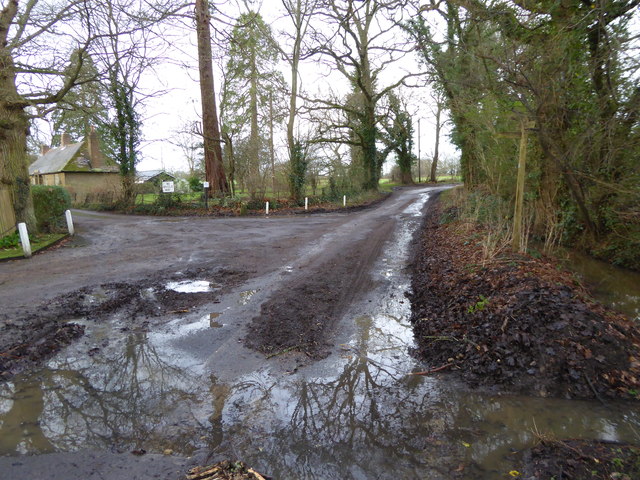
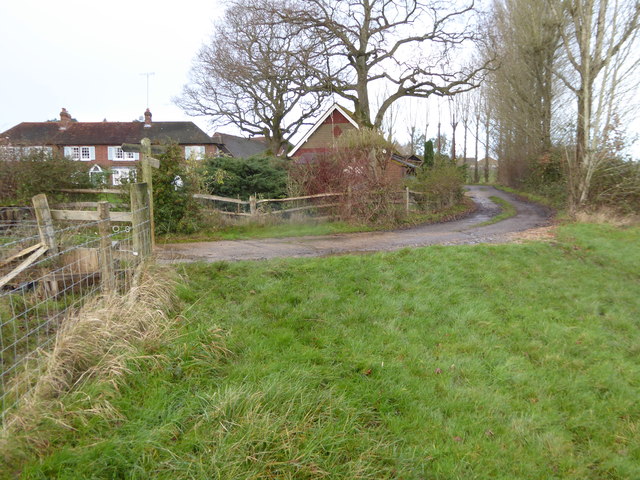
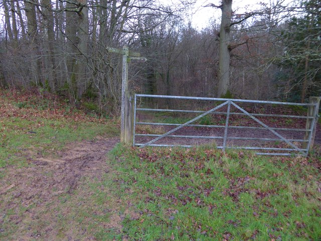
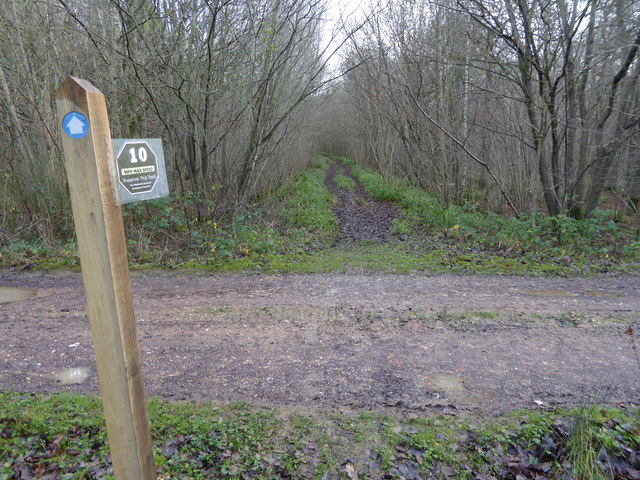
Several walking trails wind through the plantation, allowing visitors to explore its beauty at their own pace. These trails vary in difficulty, catering to both casual strollers and avid hikers. The well-maintained paths meander through the forest, offering glimpses of stunning vistas and tranquil spots for picnicking or simply taking in the surroundings.
Firtree Plantation also provides ample opportunities for outdoor activities such as camping and cycling. The plantation has designated camping areas where visitors can immerse themselves in the peaceful ambiance and spend a night under the starry skies. Cyclists can enjoy the thrill of navigating through the forest on designated trails, with options for beginners and more experienced riders.
In conclusion, Firtree Plantation is a captivating woodland in Sussex, offering a haven of natural beauty and tranquility. With its lush foliage, diverse wildlife, and recreational opportunities, the plantation is a prime destination for nature enthusiasts and those seeking respite from the hustle and bustle of everyday life.
If you have any feedback on the listing, please let us know in the comments section below.
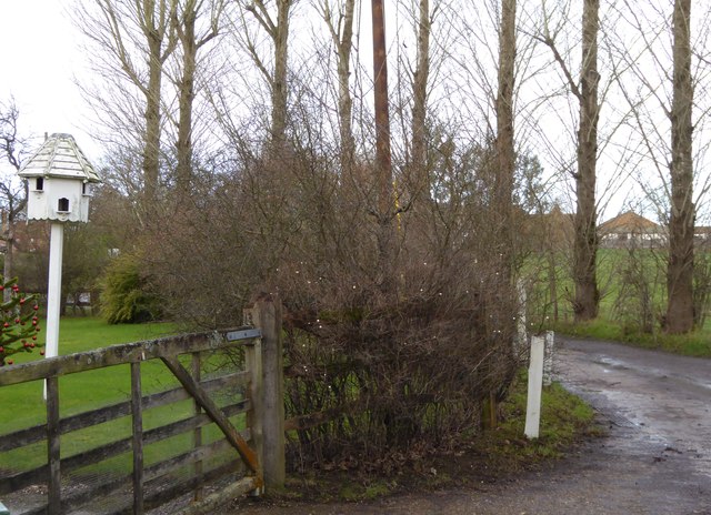
Firtree Plantation Images
Images are sourced within 2km of 51.093179/-0.40811168 or Grid Reference TQ1133. Thanks to Geograph Open Source API. All images are credited.


Firtree Plantation is located at Grid Ref: TQ1133 (Lat: 51.093179, Lng: -0.40811168)
Administrative County: West Sussex
District: Horsham
Police Authority: Sussex
What 3 Words
///bead.changed.earpiece. Near Slinfold, West Sussex
Related Wikis

High Weald AONB
The High Weald Area of Outstanding Natural Beauty is in south-east England. Covering an area of 1,450 square kilometres (560 sq mi), it takes up parts...

Slinfold Stream and Quarry
Slinfold Stream and Quarry is a 2.3-hectare (5.7-acre) geological Site of Special Scientific Interest west of Horsham in West Sussex. It is a Geological...

Holy Trinity Church, Rudgwick
Holy Trinity Church is the Anglican parish church of Rudgwick, a village in the Horsham district of West Sussex, England. The oldest part of the church...

Slinfold
Slinfold is a village and civil parish in the Horsham District of West Sussex, England. == Geography == The village is almost 4 miles (6.4 km) west of...

Rudgwick
Rudgwick is a village and civil parish in the Horsham District of West Sussex, England. The village is 6 miles (10 km) west from Horsham on the north...

Stane Street (Chichester)
Stane Street is the modern name of the 91 km-long (57 mi) Roman road in southern England that linked Londinium (London) to Noviomagus Reginorum (Chichester...

Slinfold railway station
Slinfold railway station was on the Cranleigh Line and served the village of Slinfold in West Sussex. == History == The line had a single track and opened...
Rudgwick railway station
Rudgwick railway station was on the Cranleigh Line. It served the village of Rudgwick in West Sussex until June, 1965. == History == Rudgwick station opened...
Nearby Amenities
Located within 500m of 51.093179,-0.40811168Have you been to Firtree Plantation?
Leave your review of Firtree Plantation below (or comments, questions and feedback).