Cypress Wood
Wood, Forest in Hertfordshire St. Albans
England
Cypress Wood
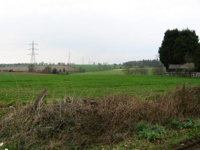
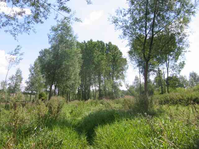
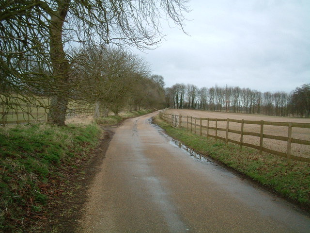
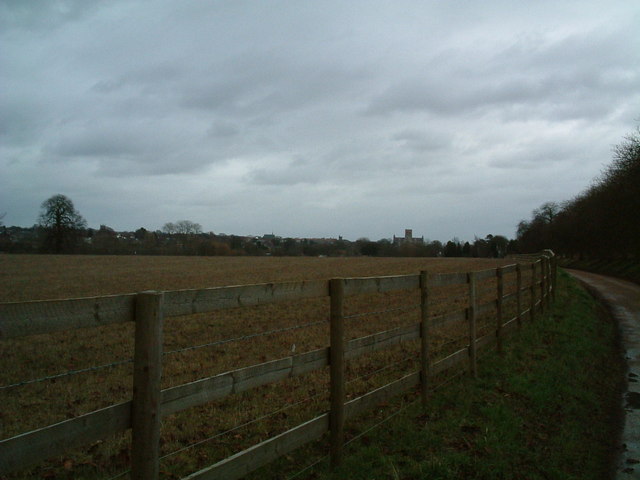
Cypress Wood is a stunning forest located in Hertfordshire, England. It covers an area of approximately 400 acres and is renowned for its natural beauty and diverse wildlife. The wood is predominantly composed of cypress trees, which give it its name and create a unique and enchanting atmosphere.
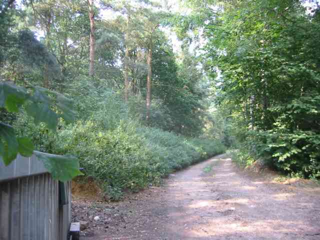
The forest is a popular destination for nature lovers, hikers, and photographers due to its picturesque landscapes and peaceful ambiance. It offers a wide range of walking trails that cater to both beginners and experienced hikers, allowing visitors to explore the wood's vast expanse and discover hidden treasures along the way.
Cypress Wood is home to a rich variety of flora and fauna, making it a haven for wildlife enthusiasts. The forest provides a habitat for several species of birds, including woodpeckers, owls, and songbirds, as well as small mammals such as squirrels, rabbits, and foxes. It is also known for its diverse plant life, with wildflowers, ferns, and mosses adorning the forest floor.
In addition to its natural beauty, Cypress Wood is steeped in history and myth. It is said to have been a site of ancient rituals and ceremonies, and remnants of ancient structures can still be found within the forest. These historical elements add an intriguing dimension to the wood, captivating visitors and sparking their curiosity.
Overall, Cypress Wood is a remarkable destination that offers a captivating blend of natural beauty, wildlife, and historical significance. Whether you are seeking a peaceful retreat or an adventure in nature, this enchanting forest in Hertfordshire is sure to leave a lasting impression.
If you have any feedback on the listing, please let us know in the comments section below.
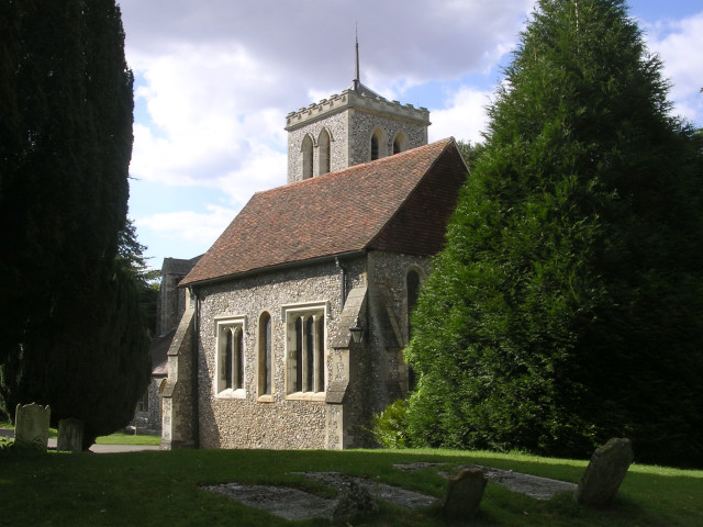
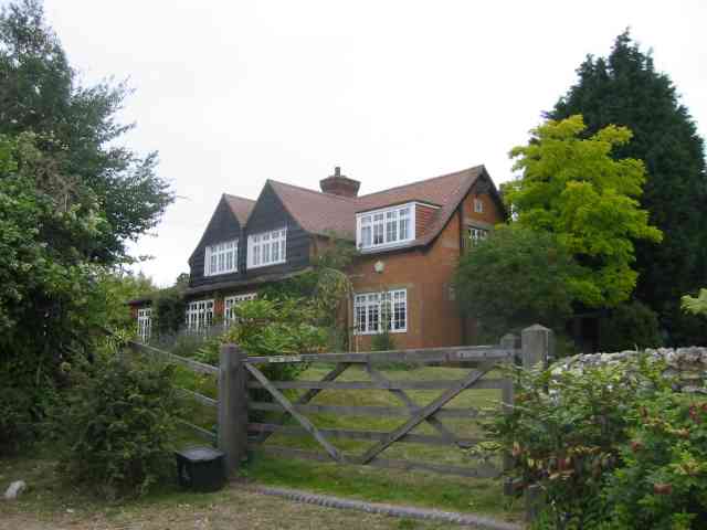
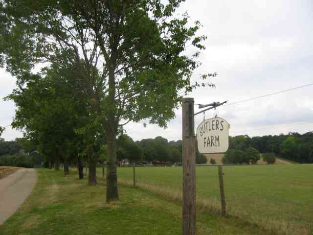
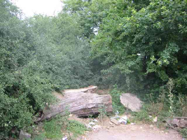
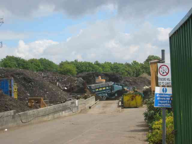
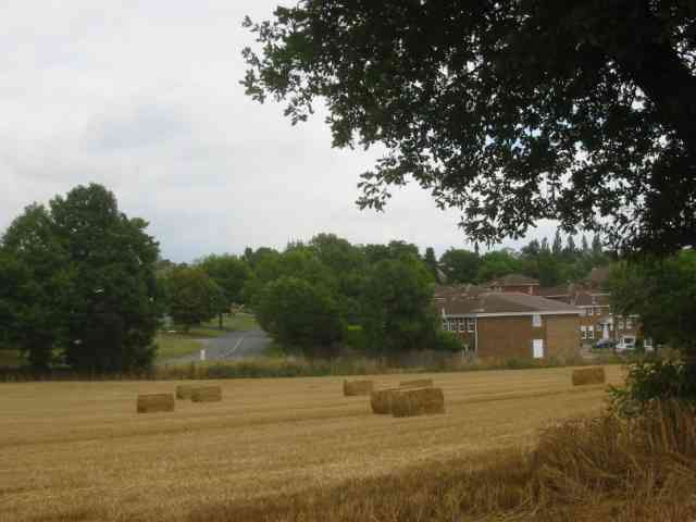
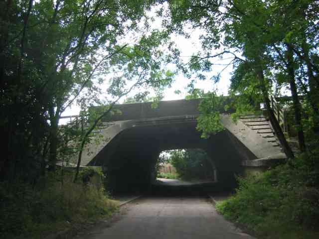
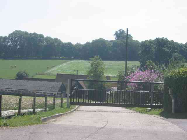
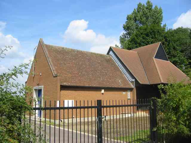
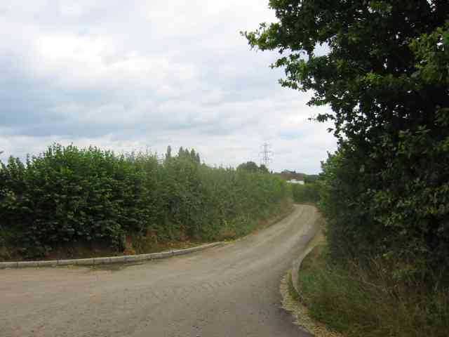
Cypress Wood Images
Images are sourced within 2km of 51.754509/-0.38538613 or Grid Reference TL1107. Thanks to Geograph Open Source API. All images are credited.
Cypress Wood is located at Grid Ref: TL1107 (Lat: 51.754509, Lng: -0.38538613)
Administrative County: Hertfordshire
District: St. Albans
Police Authority: Hertfordshire
What 3 Words
///calm.retire.park. Near St Albans, Hertfordshire
Nearby Locations
Related Wikis
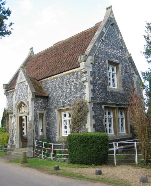
St Michael, Hertfordshire
St Michael is a civil parish in the St Albans district in Hertfordshire, England. The parish is named after but no longer includes St Michael's Church...
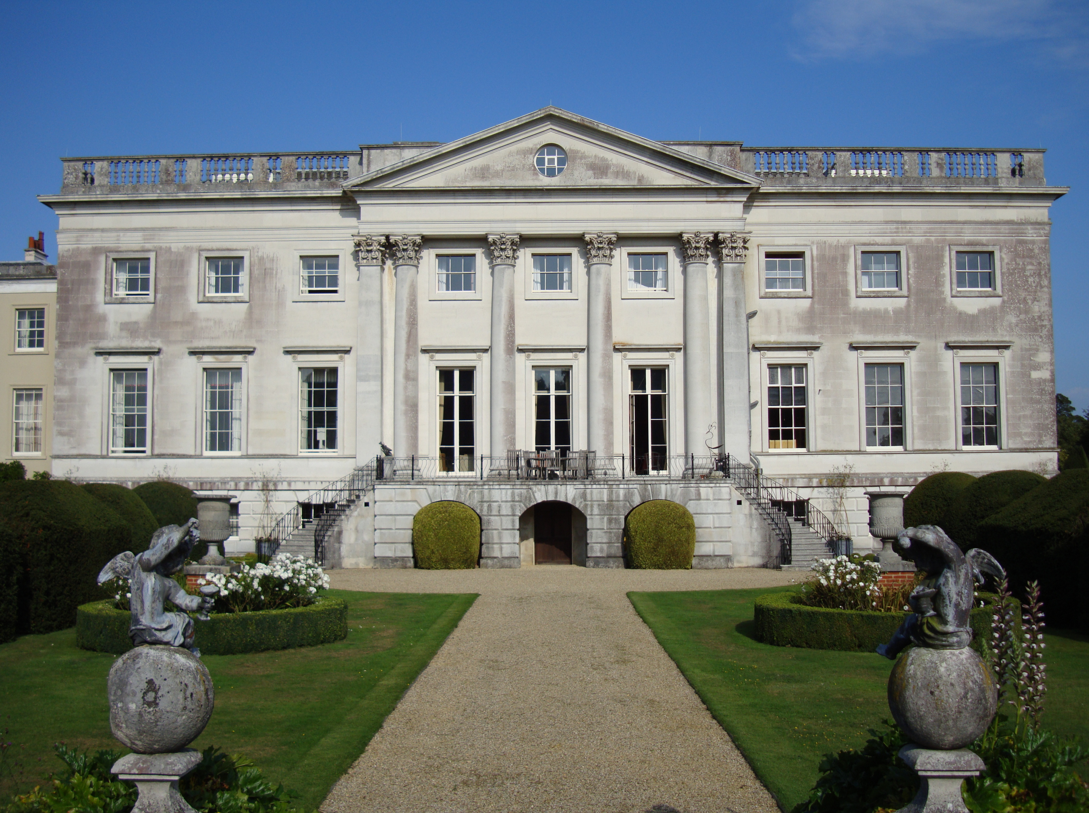
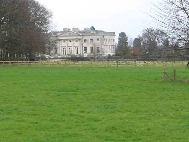
Gorhambury House
Gorhambury House is a Palladian-style house near St Albans, Hertfordshire, England. It was built between 1777 and 1784 to replace Old Gorhambury House...

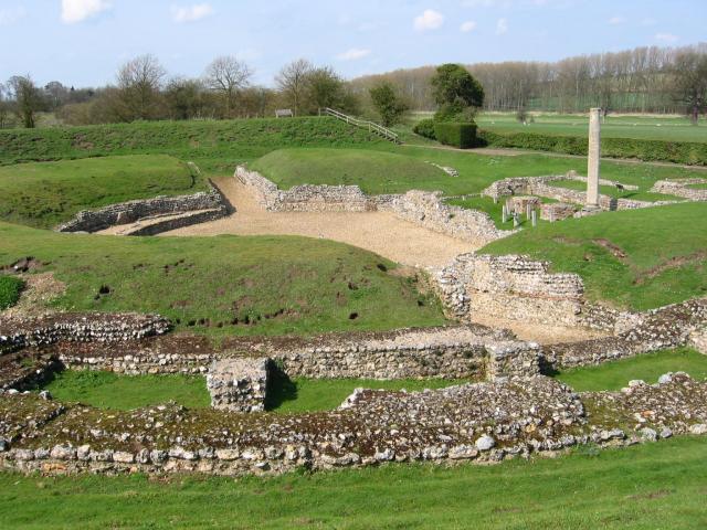
Old Gorhambury House
Old Gorhambury House located near St Albans, Hertfordshire, England, is a ruined Elizabethan mansion, a leading and early example of the Elizabethan prodigy...

Verlamion
Verlamion, or Verlamio, was a settlement in Iron Age Britain. It was a major centre of the Catuvellauni tribe from about 20 BC until shortly after the...
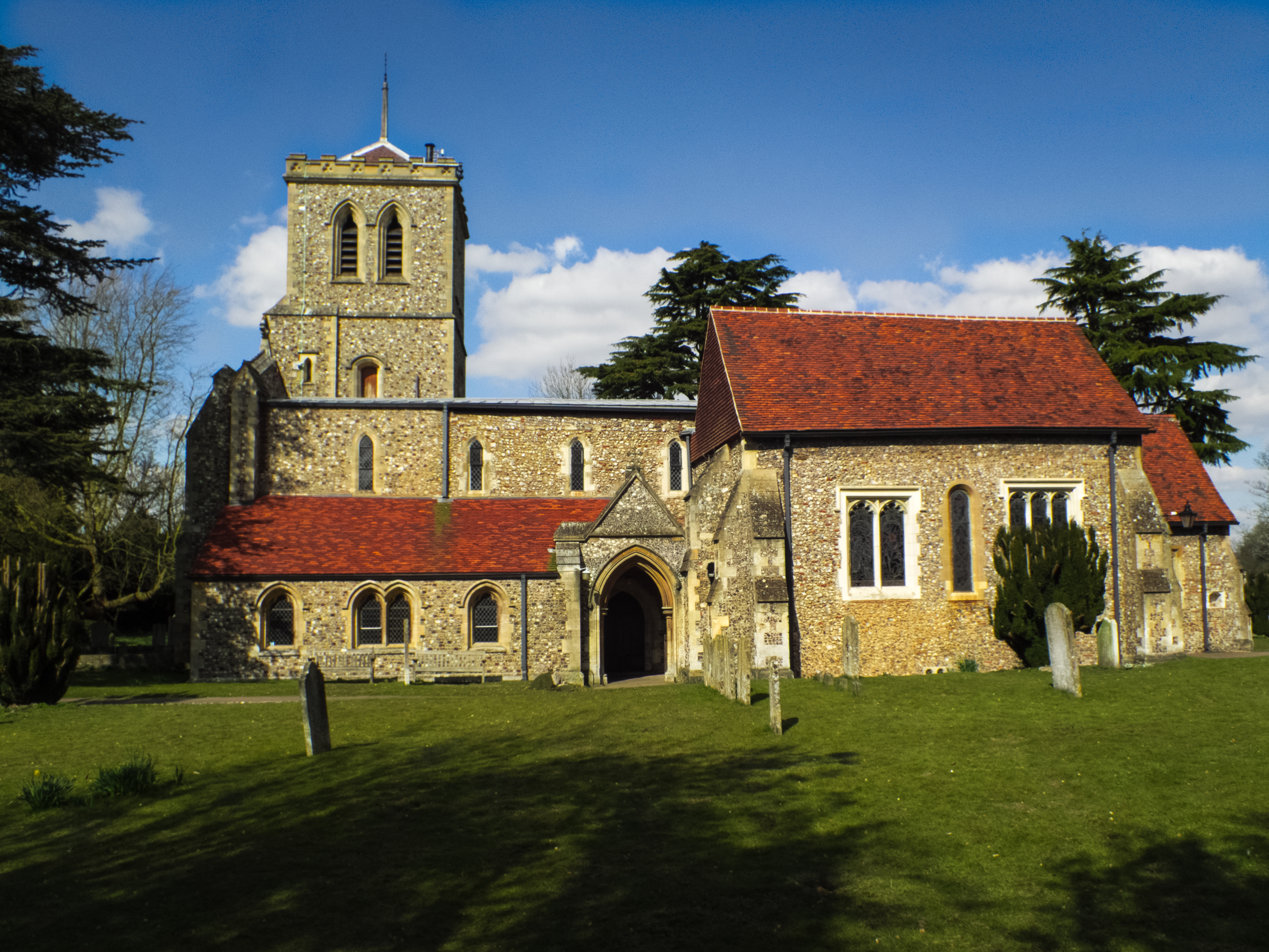
St Michael's Church, St Albans
St Michael's Church is a Church of England parish church in St Albans, Hertfordshire, England. Much of the building is late 10th or early 11th century...

International Crown
The Hanwha LifePlus International Crown is a biennial women's professional team golf tournament on the LPGA Tour. Eight national teams of four players...
Centurion Club
The Centurion Club is a golf club in Hemel Hempstead in Hertfordshire. The club opened in 2013. It has hosted the GolfSixes series in 2017 and 2018 and...

M10 motorway (Great Britain)
The M10 was a motorway in Hertfordshire, England, running for approximately 3 miles (4.5 km) from the M1 motorway at junction 7 near Hemel Hempstead to...
Nearby Amenities
Located within 500m of 51.754509,-0.38538613Have you been to Cypress Wood?
Leave your review of Cypress Wood below (or comments, questions and feedback).