Temple Wood

Wood, Forest in Hertfordshire St. Albans

England

Temple Wood

Farmland, farmland... Looking NW from the track at TL107064 by Hill End Farm (buildings at right).
Farmland, farmland... Credit: Rob Hinkley

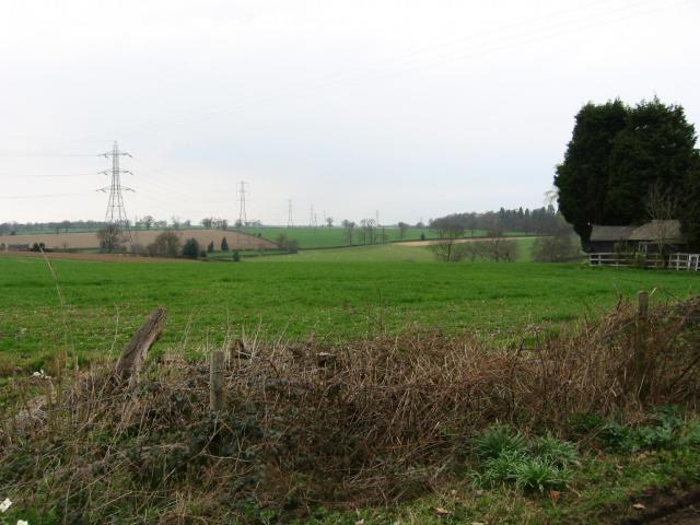
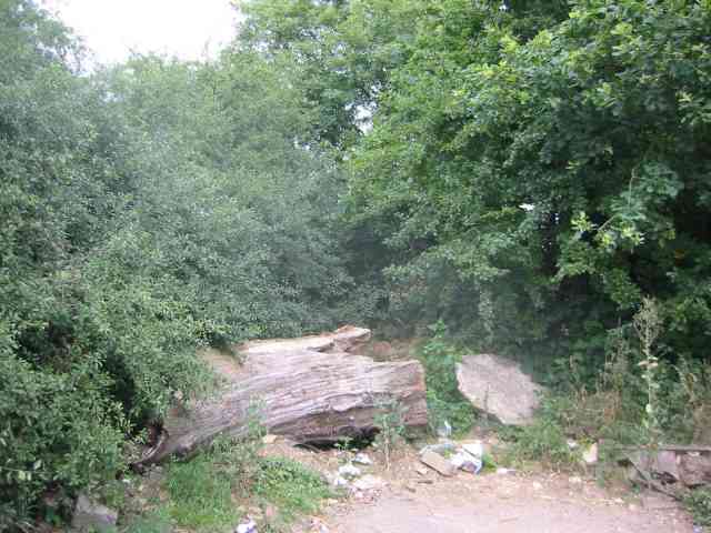
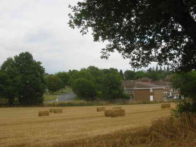
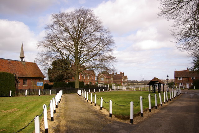
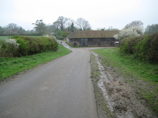
Temple Wood is a serene and enchanting forest located in Hertfordshire, England. Covering an area of approximately 50 acres, this ancient woodland is a haven of natural beauty and tranquility. The wood is situated near the small village of Nettleden, nestled within the picturesque Chiltern Hills.

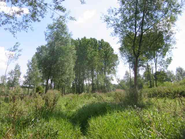
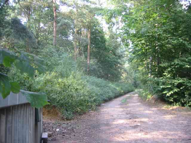
As one ventures into Temple Wood, they are greeted by a diverse array of trees, including oak, beech, and ash, creating a rich and vibrant canopy. The forest floor is blanketed with a lush carpet of mosses, ferns, and wildflowers, adding to the enchanting atmosphere of the wood. The presence of ancient, gnarled trees gives the area an almost mystical feel, evoking a sense of stepping back in time.

Temple Wood is also home to a variety of wildlife, providing a natural habitat for many species. Visitors may catch glimpses of deer gracefully darting between the trees or hear the distinctive call of a woodpecker echoing through the woods. The forest's proximity to water sources makes it an ideal location for birdwatching, with species such as kingfishers and herons frequently spotted.

Aside from its natural beauty, Temple Wood holds historical significance. It is believed to have been part of the estate of the Knights Templar, a medieval Christian military order. Ruins of an old chapel can still be found within the wood, adding a touch of mystery and intrigue to the area.

Temple Wood offers visitors the chance to immerse themselves in nature, providing a peaceful retreat from the hustle and bustle of everyday life. Whether one seeks a leisurely stroll along its winding paths or a moment of contemplation in its serene surroundings, Temple Wood is a place of natural wonder and historical intrigue.

If you have any feedback on the listing, please let us know in the comments section below.
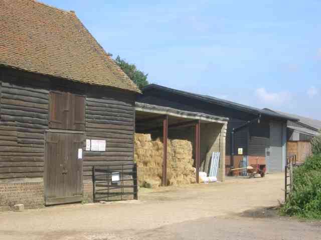
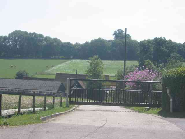
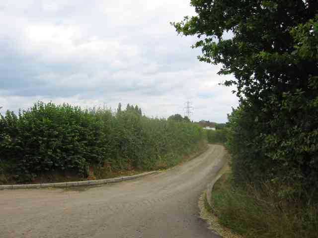
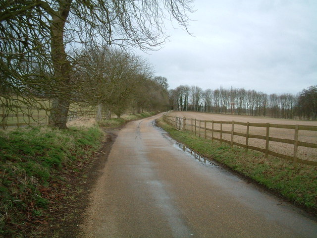
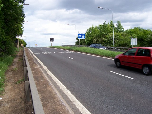
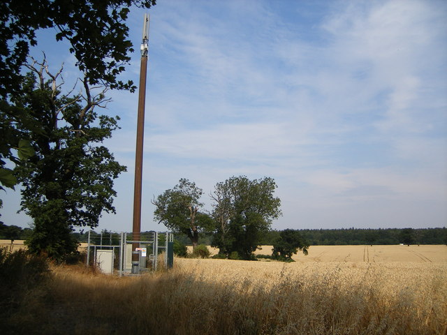
Temple Wood Images

Images are sourced within 2km of 51.752842/-0.39038591 or Grid Reference TL1107. Thanks to Geograph Open Source API. All images are credited.

Farmland, farmland... Looking NW from the track at TL107064 by Hill End Farm (buildings at right).
Farmland, farmland...
Looking NW from the track at TL107064 by Hill End Farm (buildings at right).
Gorhambury House The Gorhambury estate is private, but the owners allow the hoi-polloi to walk and cycle on their roads. 
Photo: Looking NE from the road at about TL111076.
Gorhambury House
The Gorhambury estate is private, but the owners allow the hoi-polloi to walk and cycle on their roads. Photo: Looking NE from the road at about TL111076.
House in Hogg End Lane This could in fact be a semi detached pair of houses.
House in Hogg End Lane
This could in fact be a semi detached pair of houses.
Entrance roadway to Butlers Farm,  Hogg End Lane Long access roads act as a deterrent to explorers.
Entrance roadway to Butlers Farm, Hogg End Lane
Long access roads act as a deterrent to explorers.
No Access by this route The log blocks what used to be a layby when the road was straightened but now it has been deleted for safety's sake
No Access by this route
The log blocks what used to be a layby when the road was straightened but now it has been deleted for safety's sake
The composting facility This establishment with the huge piles of composting material implies that the stuff isn't 
getting into the commercial circuit.
The composting facility
This establishment with the huge piles of composting material implies that the stuff isn't getting into the commercial circuit.
The edge of the town This view from Bedmond Lane shows the abrupt demarcation between housing estate and farmland.
The edge of the town
This view from Bedmond Lane shows the abrupt demarcation between housing estate and farmland.
Bridge over Beechtree Lane The design of this bridge carrying the M10 just before it merges with the M1 is typical of the period with the rustications
Bridge over Beechtree Lane
The design of this bridge carrying the M10 just before it merges with the M1 is typical of the period with the rustications
Westwick Row Farm The farm yard has a neat and tidy appearance .perhaps due to its close proximity to the lane.
Westwick Row Farm
The farm yard has a neat and tidy appearance .perhaps due to its close proximity to the lane.
Entrance to Kettlewells Farm  Hogg End Lane. The locked gates prevents casual infiltration by 
outsiders and photographers
Entrance to Kettlewells Farm Hogg End Lane.
The locked gates prevents casual infiltration by outsiders and photographers
The Ver Walk  at Bow Bridge Despite being a "wellknown" walk the footpath was too overgrown to be passable with any pleasure.
The pumping station is to the rear of the viewpoint.
The Ver Walk at Bow Bridge
Despite being a "wellknown" walk the footpath was too overgrown to be passable with any pleasure. The pumping station is to the rear of the viewpoint.
Private Road into Prae Wood off  A 4147 The impression given is that a timber conversion plant is just beyond the turn. This is the Gorhambury Estate.
Private Road into Prae Wood off A 4147
The impression given is that a timber conversion plant is just beyond the turn. This is the Gorhambury Estate.
Road leading to "Old Jeromes" There is a house  called Old Jeromes  wonder who he was
Road leading to "Old Jeromes"
There is a house called Old Jeromes wonder who he was
Hertfordshire Way - Gorhambury Watling Street lies beneath the field on the other side of the fence.   The roman road went in a straight line but this driveway to Gorhambury House now has a bend in.
Hertfordshire Way - Gorhambury
Watling Street lies beneath the field on the other side of the fence. The roman road went in a straight line but this driveway to Gorhambury House now has a bend in.
M1 junction 8 southbound The red car is crossing the M1 from Hemel Hempstead to join the motorway going south. The blue car on the other side has just left the motorway.
M1 junction 8 southbound
The red car is crossing the M1 from Hemel Hempstead to join the motorway going south. The blue car on the other side has just left the motorway.
M1 at junction 8 Looking north from the bridge which carries southbound traffic to and from their sliproads. The northbound sliproad can be seen joining the motorway at top left.
M1 at junction 8
Looking north from the bridge which carries southbound traffic to and from their sliproads. The northbound sliproad can be seen joining the motorway at top left.
Footpath to Westwick Row This footpath runs from Kettlewell Farm to Westwick Row on the outskirts of Hemel Hempstead
Footpath to Westwick Row
This footpath runs from Kettlewell Farm to Westwick Row on the outskirts of Hemel Hempstead
Transmitter Mast There was nobody living near to object to this mast.   The trees in the far distance are Prea Wood and just in front of it lies the A4147.
Transmitter Mast
There was nobody living near to object to this mast. The trees in the far distance are Prea Wood and just in front of it lies the A4147.
Show me another place!

Temple Wood is located at Grid Ref: TL1107 (Lat: 51.752842, Lng: -0.39038591)

Administrative County: Hertfordshire

District: St. Albans

Police Authority: Hertfordshire

What 3 Words

///tips.pigs.leaned. Near Hemel Hempstead, Hertfordshire

Related Wikis

St Michael, Hertfordshire

St Michael is a civil parish in the St Albans district in Hertfordshire, England. The parish is named after but no longer includes St Michael's Church...

Old Gorhambury House

Old Gorhambury House located near St Albans, Hertfordshire, England, is a ruined Elizabethan mansion, a leading and early example of the Elizabethan prodigy...
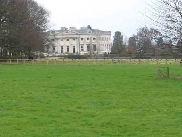
Gorhambury House

Gorhambury House is a Palladian-style house near St Albans, Hertfordshire, England. It was built between 1777 and 1784 to replace Old Gorhambury House...

Verlamion

Verlamion, or Verlamio, was a settlement in Iron Age Britain. It was a major centre of the Catuvellauni tribe from about 20 BC until shortly after the...

International Crown

The Hanwha LifePlus International Crown is a biennial women's professional team golf tournament on the LPGA Tour. Eight national teams of four players...

Centurion Club

The Centurion Club is a golf club in Hemel Hempstead in Hertfordshire. The club opened in 2013. It has hosted the GolfSixes series in 2017 and 2018 and...

Potters Crouch

Potters Crouch is a small hamlet in Hertfordshire, England, south-west of St Albans near Chiswell Green. It is in the civil parish of St Michael. ��2...

Westwick Row

Westwick Row is a place in Hertfordshire, in England. It is situated on the edge of Hemel Hempstead. Westwick Row today is a narrow rural lane in the village...

Nearby Amenities

Located within 500m of 51.752842,-0.39038591
Barrier: cattle_grid
Lat/Long: 51.7499597/-0.3890832
The data included in this document is from www.openstreetmap.org. The data is made available under ODbL.

Have you been to Temple Wood?

Leave your review of Temple Wood below (or comments, questions and feedback).