Egham Wick

Settlement in Surrey Runnymede

England

Egham Wick

Totem Pole, Windsor Great Park The 100-foot pole bears traditional First Nations carvings and was a gift from the Canadian province of British Columbia to the Queen in 1958.
Totem Pole, Windsor Great Park Credit: Mark Percy

Egham Wick is a small village located in the county of Surrey, England. Situated approximately 20 miles southwest of central London, it falls within the borough of Runnymede. The village is surrounded by picturesque countryside and is known for its tranquil and rural atmosphere.

Egham Wick has a rich history, with records dating back to the 12th century. It was once part of the Windsor Forest and was primarily inhabited by farmers and agricultural workers. Today, it retains much of its rural character, with several working farms still operating in the area.

The village is home to a close-knit community, with a population of around 500 residents. It offers a range of amenities, including a local pub, a village hall, and a primary school. There are also various recreational opportunities available, such as walking trails and outdoor spaces for leisure activities.

Egham Wick benefits from its proximity to the larger town of Egham, which provides additional services and facilities. It is conveniently located near major transportation routes, including the M25 motorway and Egham train station, making it easily accessible for commuters.

The natural beauty and peaceful surroundings of Egham Wick make it an attractive place to live for those seeking a quieter lifestyle. Its idyllic setting, combined with its historical significance and community spirit, contribute to its appeal as a charming village in the heart of Surrey.

If you have any feedback on the listing, please let us know in the comments section below.
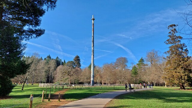
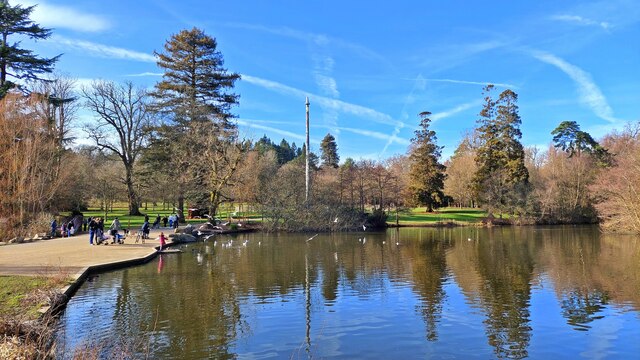
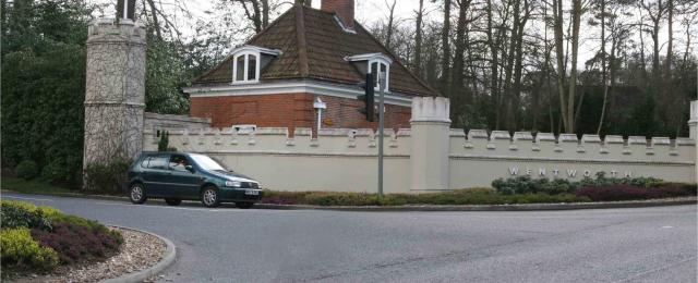
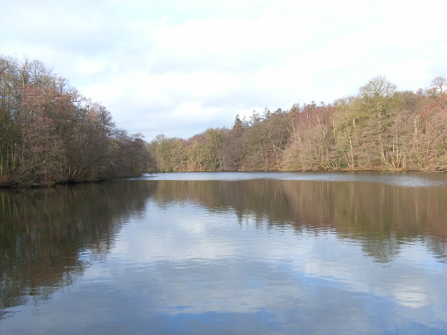
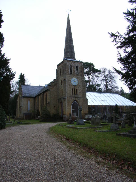
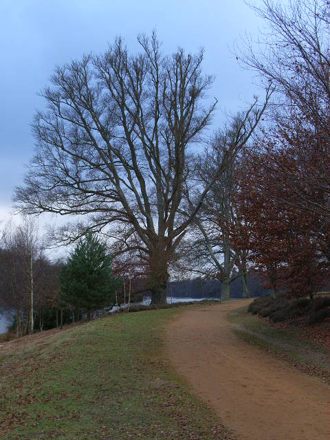
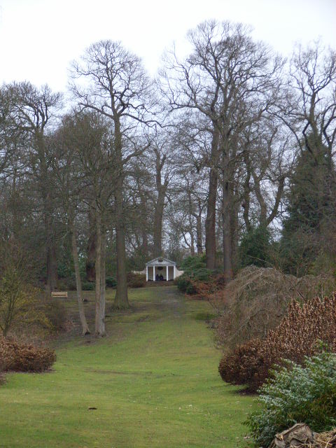
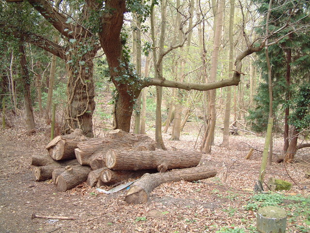
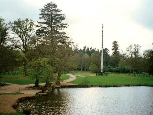
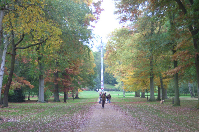
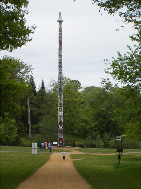
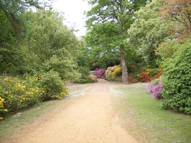
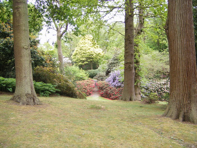
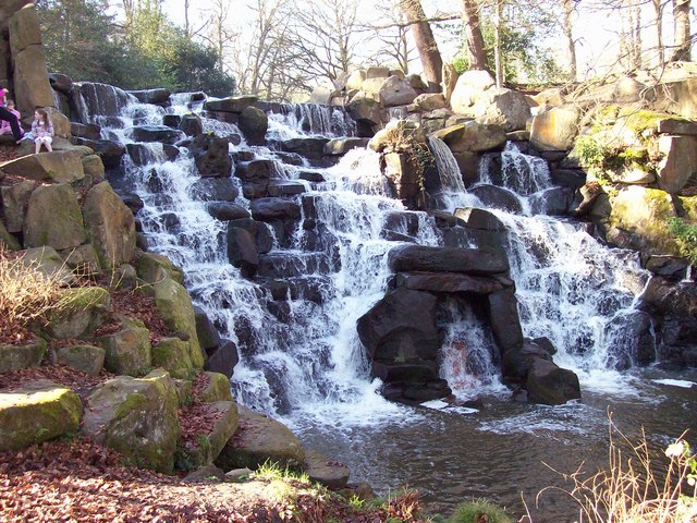
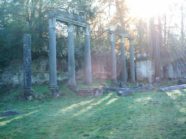
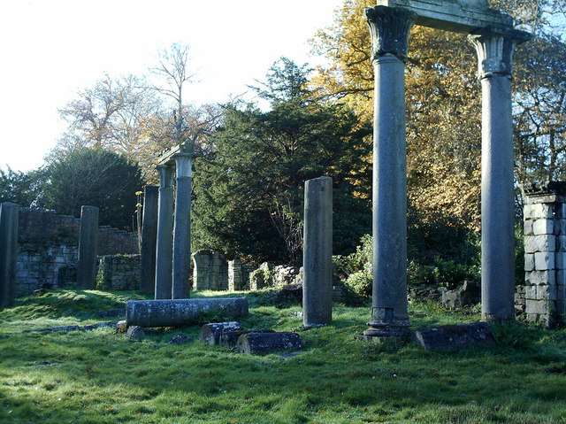
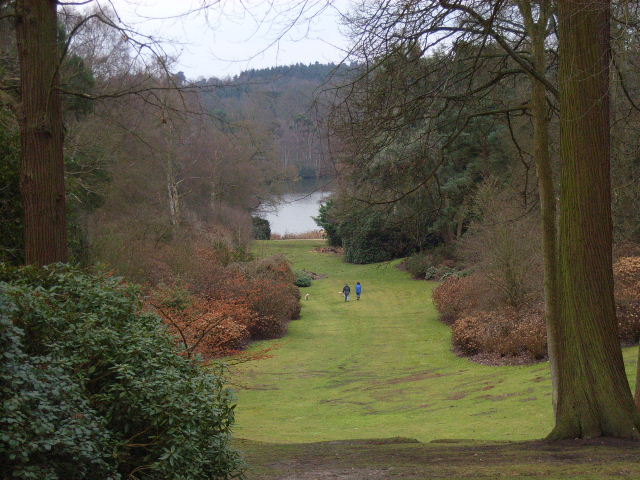
Egham Wick Images

Images are sourced within 2km of 51.419997/-0.587766 or Grid Reference SU9869. Thanks to Geograph Open Source API. All images are credited.

Totem Pole, Windsor Great Park The 100-foot pole bears traditional First Nations carvings and was a gift from the Canadian province of British Columbia to the Queen in 1958.
Totem Pole, Windsor Great Park
The 100-foot pole bears traditional First Nations carvings and was a gift from the Canadian province of British Columbia to the Queen in 1958.
Wick Pond, Windsor Great Park Looking across Wick Pond to the totem pole.
Wick Pond, Windsor Great Park
Looking across Wick Pond to the totem pole.
Virginia Water This Totem Pole is located on the extreme western edge of the square in Virginia Water.
Virginia Water
This Totem Pole is located on the extreme western edge of the square in Virginia Water.
Wentworth The entrance to the world famous championship golf course.
Wentworth
The entrance to the world famous championship golf course.
Johnson's Pond, Windsor Great Park A small waterfall connects this to Virginia Water.
Johnson's Pond, Windsor Great Park
A small waterfall connects this to Virginia Water.
The Valley Gardens, Windsor Great Park The view from a gazebo in the gardens down to Virginia Water.
The Valley Gardens, Windsor Great Park
The view from a gazebo in the gardens down to Virginia Water.
Christ Church, Virginia Water
The banks of Virginia Water in Valley Gardens
Gazebo in Valley Gardens
Callow Hill Wood As seen from the track that leads east from the Rose and Olive Branch public house.
Callow Hill Wood
As seen from the track that leads east from the Rose and Olive Branch public house.
Totem pole at Virginia Water The totem pole is situated at the northern end of Virginia Water lake in Windsor Great Park
Totem pole at Virginia Water
The totem pole is situated at the northern end of Virginia Water lake in Windsor Great Park
Totem pole, Virginia Water, Surrey Autumn in the park
Totem pole, Virginia Water, Surrey
Autumn in the park
Totem Pole, Virginia Water Given to The Queen in 1958.
Totem Pole, Virginia Water
Given to The Queen in 1958.
Valley Gardens, Virginia Water
Devil's Punchbowl, Valley Gardens Virginia Water
Devil's Punchbowl, Valley Gardens
Virginia Water
The Cascade, Virginia Water The Cascade was constructed in the 18ct, reputedly using stones taken from the site of a Saxon settlement on Bagshot Heath. For a view of the Cascade taken in Nov 2013 refer to picture <a href="https://www.geograph.org.uk/photo/3734030">SU9768 : The Cascade, Virginia Water</a>.
The Cascade, Virginia Water
The Cascade was constructed in the 18ct, reputedly using stones taken from the site of a Saxon settlement on Bagshot Heath. For a view of the Cascade taken in Nov 2013 refer to picture SU9768 : The Cascade, Virginia Water.
Leptis Magna, Virginia Water, (left view) The remains of a Roman Temple from Leptis Magna, near Tripoli, Libya, were given to the Prince Regent, (later King George IV), in 1816. After languishing at the British Museum for 10 years they were erected, not necessarily correctly, in Virginia Water by Sir Jeffery Wyatville. Refer to picture <a href="https://www.geograph.org.uk/photo/2660610">SU9768 : Leptis Magna</a> for a view of Leptis Magna taken in Oct 2011.
Leptis Magna, Virginia Water, (left view)
The remains of a Roman Temple from Leptis Magna, near Tripoli, Libya, were given to the Prince Regent, (later King George IV), in 1816. After languishing at the British Museum for 10 years they were erected, not necessarily correctly, in Virginia Water by Sir Jeffery Wyatville. Refer to picture SU9768 : Leptis Magna for a view of Leptis Magna taken in Oct 2011.
Leptis Magna, Virginia Water, (right view) The remains of a Roman Temple from Leptis Magna, near Tripoli, were given to the Prince Regent, (later King George IV), in 1816. After languishing at the British Museum for 10 years they were erected, not necessarily correctly, in Virginia Water by Sir Jeffery Wyatville. Refer to picture <a href="https://www.geograph.org.uk/photo/705840">SU9768 : Leptis Magna, Virginia Water, (left view)</a> for a view of the LH columns.
Leptis Magna, Virginia Water, (right view)
The remains of a Roman Temple from Leptis Magna, near Tripoli, were given to the Prince Regent, (later King George IV), in 1816. After languishing at the British Museum for 10 years they were erected, not necessarily correctly, in Virginia Water by Sir Jeffery Wyatville. Refer to picture SU9768 : Leptis Magna, Virginia Water, (left view) for a view of the LH columns.
Show me another place!

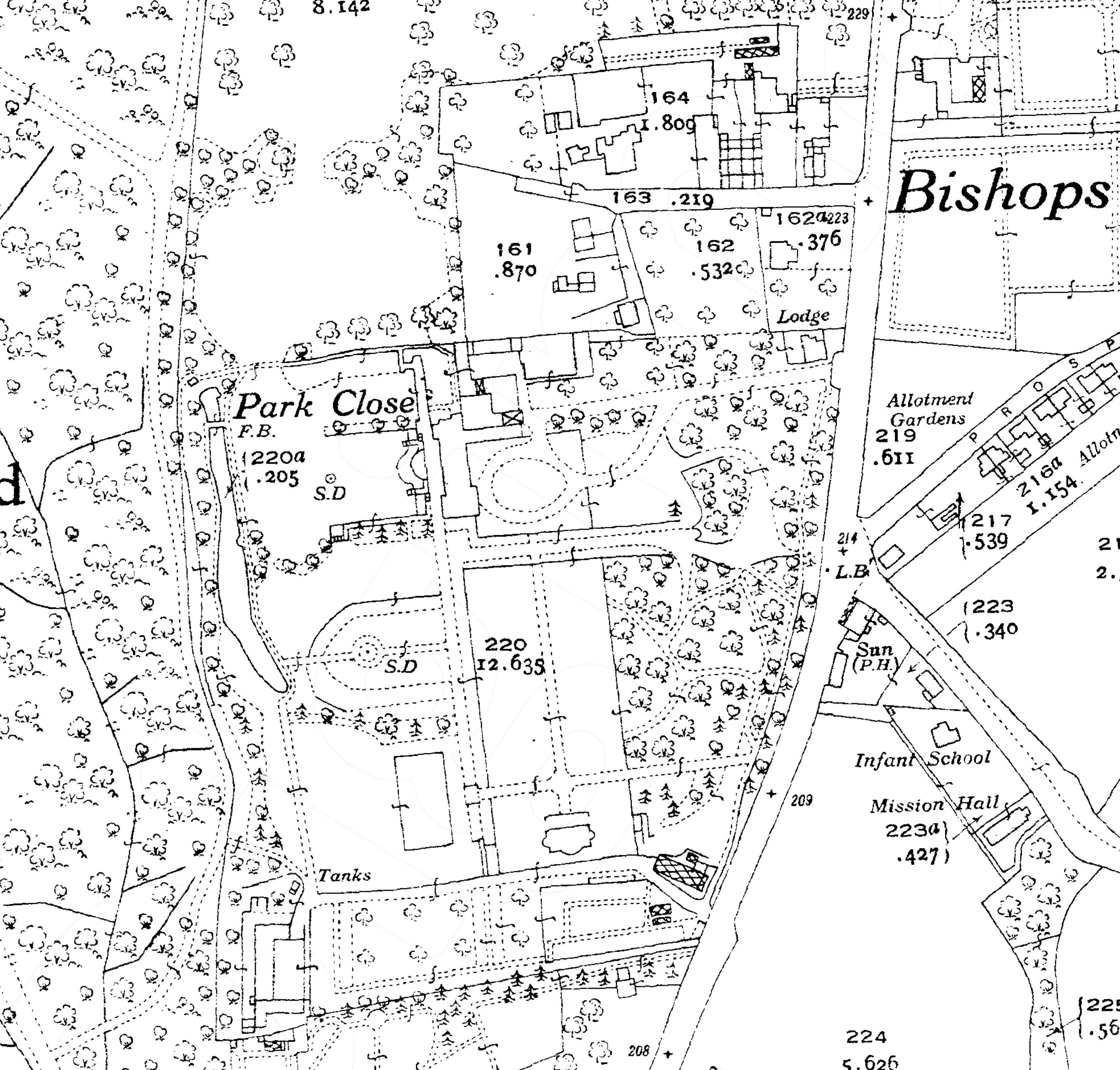
Egham Wick is located at Grid Ref: SU9869 (Lat: 51.419997, Lng: -0.587766)

Administrative County: Surrey

District: Runnymede

Police Authority: Surrey

What 3 Words

///shins.mouth.monkey. Near Virginia Water, Surrey

Related Wikis

Savill Building

The Savill Building is a visitor centre at the entrance to The Savill Garden in Windsor Great Park, Surrey, England designed by Glen Howells Architects...

Valley Gardens

The Valley Gardens are 220 acres (0.89 km2) of woodland garden, part of the Crown Estate located near Englefield Green in the English county of Surrey...

Savill Garden

The Savill Garden is an enclosed part of Windsor Great Park in England, created by Sir Eric Savill in the 1930s. It is managed by the Crown Estate and...

Windsor Court

Windsor Court is a large country house in, Englefield Green, Surrey, England. The mansion adjoins Windsor Great Park. == History == The 37,000 sq ft house...

Virginia Water Lake

Virginia Water Lake lies on the southern edge of Windsor Great Park, in the borough of Runnymede in Surrey and the civil parishes of Old Windsor and Sunningdale...

Shelley's Cottage

Shelley's Cottage is a Grade II listed early 19th-century large cottage in west Englefield Green, Surrey, England within 100 metres of Windsor Great Park...

Royal Holloway, University of London

Royal Holloway, University of London (RHUL), formally incorporated as Royal Holloway and Bedford New College, is a public research university and a member...
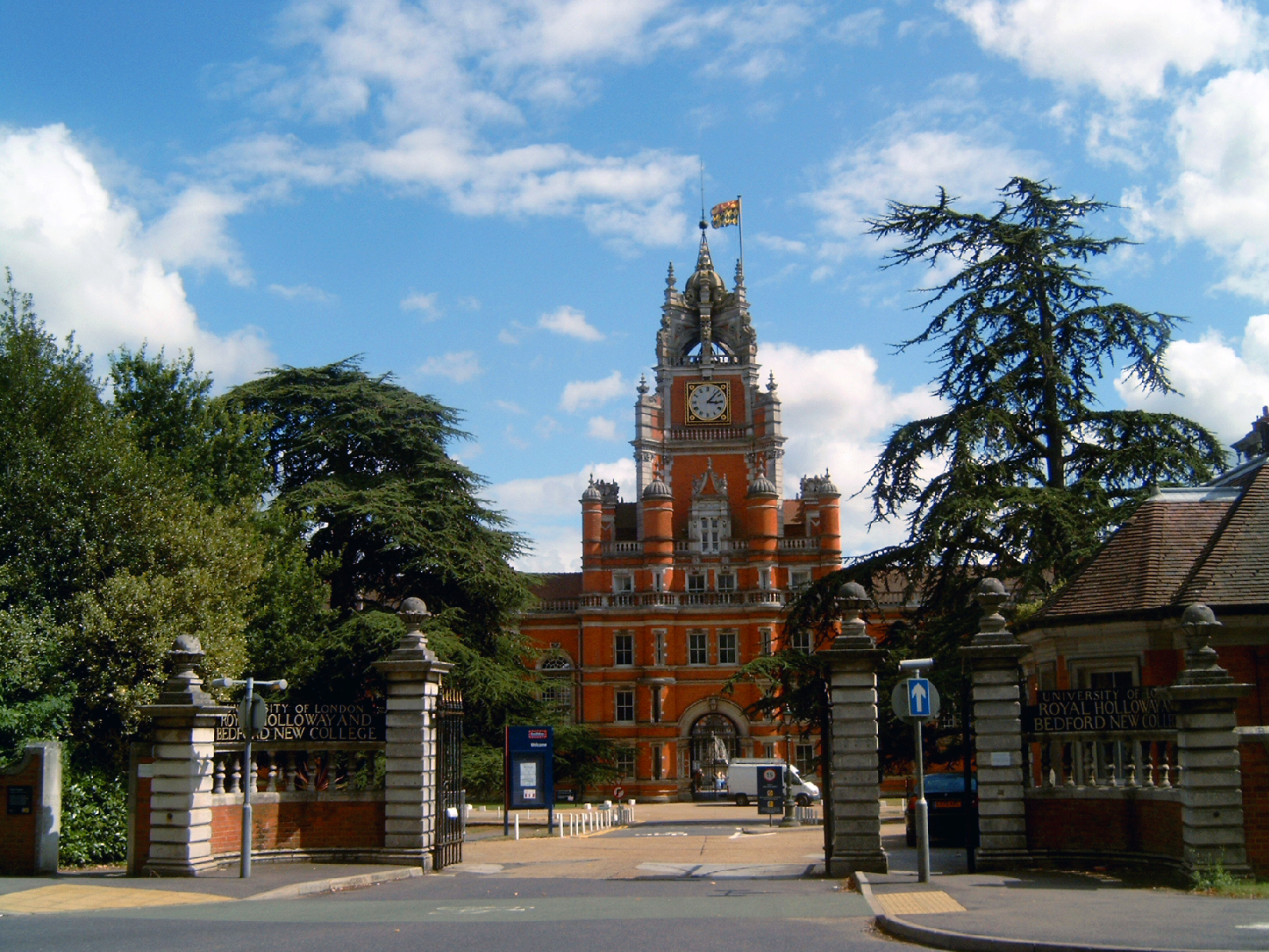
Founder's Building

The Founder's Building is the original building of Royal Holloway College, University of London (RHUL), in Egham, Surrey, England. It is an example of...

Nearby Amenities

Located within 500m of 51.419997,-0.587766
Totem Pole
Historic: monument
Image: https://upload.wikimedia.org/wikipedia/commons/0/06/Virginia_Water_Totem_Pole.jpg
Man Made: totem_pole
Website: http://www.thamesweb.co.uk/windsor/info/totem.html
Lat/Long: 51.416663/-0.5920581
Pub
The Bailiwick
Addr Housename: The Bailiwick Free House
Addr Postcode: TW20 0HN
Addr Street: Wick Road
Email: reservations@thebailiwick.co.uk
Facebook: https://www.facebook.com/thebailiwickfreehouse
Fhrs Id: 315440
Instagram: https://www.instagram.com/thebailiwickfreehouse/
Phone: +44 1784 682888
Source Addr: FHRS Open Data
Website: https://thebailiwick.co.uk/
Lat/Long: 51.4199915/-0.5882184
Parking
Access: yes
Fee: no
Parking: street_side
Lat/Long: 51.4201342/-0.5872022
Scarlet Oak Plantation
Natural: wood
Lat/Long: 51.4209318/-0.5932085
Egham Wick Plantations
Natural: wood
Lat/Long: 51.4200708/-0.582869
Egham Wick
Place: hamlet
Source: OS OpenMap Local
Lat/Long: 51.4204339/-0.5874435
Bench
Backrest: no
Lat/Long: 51.416801/-0.5890326
Bench
Backrest: no
Lat/Long: 51.4161377/-0.5898954
Bench
Backrest: no
Lat/Long: 51.4170858/-0.5880203
Barrier: lift_gate
Lat/Long: 51.4205149/-0.5850455
The data included in this document is from www.openstreetmap.org. The data is made available under ODbL.

Have you been to Egham Wick?

Leave your review of Egham Wick below (or comments, questions and feedback).