Square Wood

Wood, Forest in Hertfordshire St. Albans

England

Square Wood

M1 at J7 The M1 is a north–south motorway connecting London to Leeds, where it joins the A1(M) near Aberford. It was the first motorway to be completed in the United Kingdom.
The motorway is 193 miles long and was constructed in four phases. Most of the motorway was opened between 1959 and 1968 but the southern end was extended in 1977 and the northern end was extended in 1999.
M1 at J7 Credit: N Chadwick

Square Wood is a picturesque forest located in the county of Hertfordshire, England. Spanning an area of approximately 100 acres, it is a popular destination for nature enthusiasts and outdoor enthusiasts alike. The forest is situated in close proximity to the village of Wood, adding to its accessibility and charm.

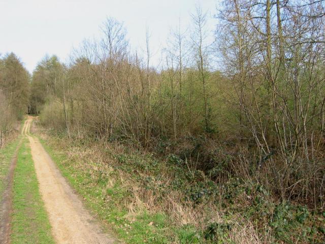
One of the notable features of Square Wood is its diverse ecosystem, which encompasses a variety of woodland habitats. The forest is primarily composed of deciduous trees, including oak, beech, and birch, creating a rich canopy that provides shade and shelter for a wide range of flora and fauna. The forest floor is adorned with a carpet of wildflowers during the spring and summer months, adding bursts of color to the landscape.

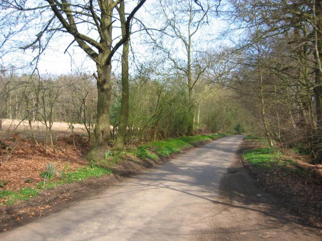
Square Wood is home to numerous wildlife species, including deer, foxes, badgers, and a variety of bird species. Birdwatchers can spot woodpeckers, owls, and a variety of songbirds in the area. The forest also boasts a network of well-maintained walking trails, allowing visitors to explore its beauty at their own pace. These trails provide opportunities for leisurely walks, jogging, and cycling, making it a popular destination for outdoor activities.

Nature conservation is a priority in Square Wood, and efforts are made to maintain and protect the forest's natural beauty. The wood is managed by local authorities, ensuring its preservation and sustainability for future generations to enjoy. Visitors are encouraged to respect the forest's tranquility and adhere to any guidelines or regulations in place.

Overall, Square Wood in Hertfordshire offers a serene and idyllic setting for nature lovers and outdoor enthusiasts. With its diverse woodland habitats, abundant wildlife, and well-maintained trails, it is a captivating destination that showcases the beauty of the English countryside.

If you have any feedback on the listing, please let us know in the comments section below.
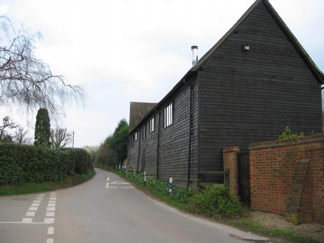
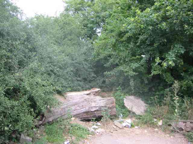
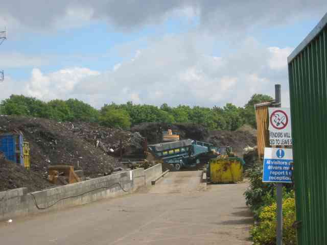
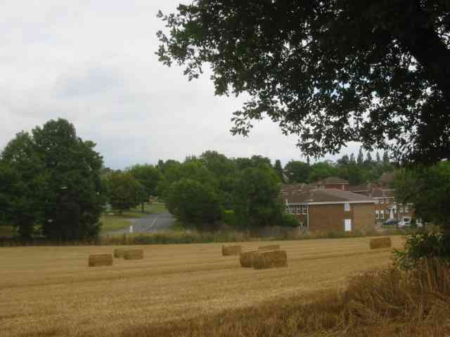
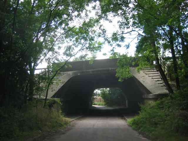
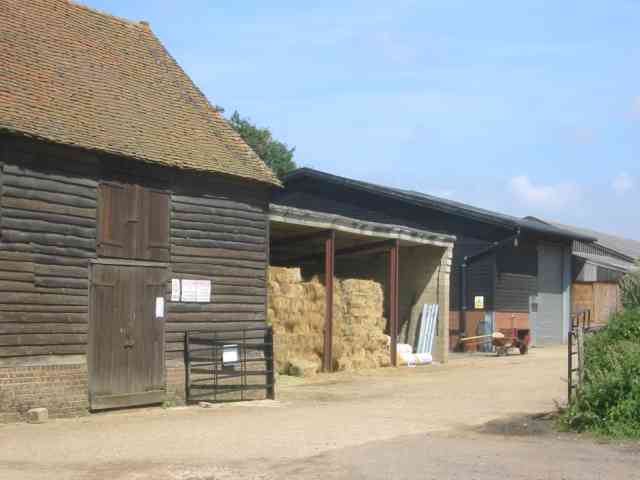
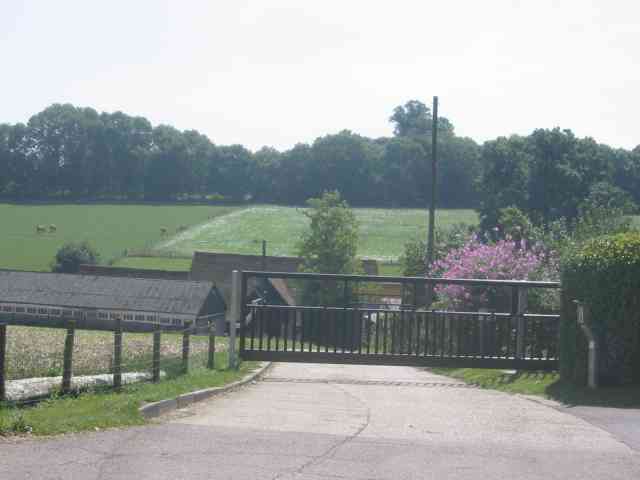
Square Wood Images

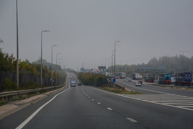
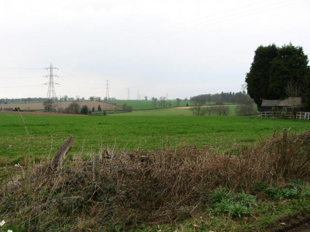
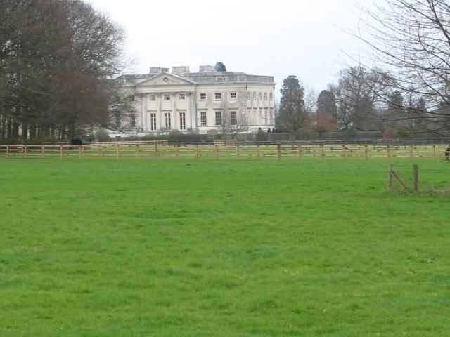
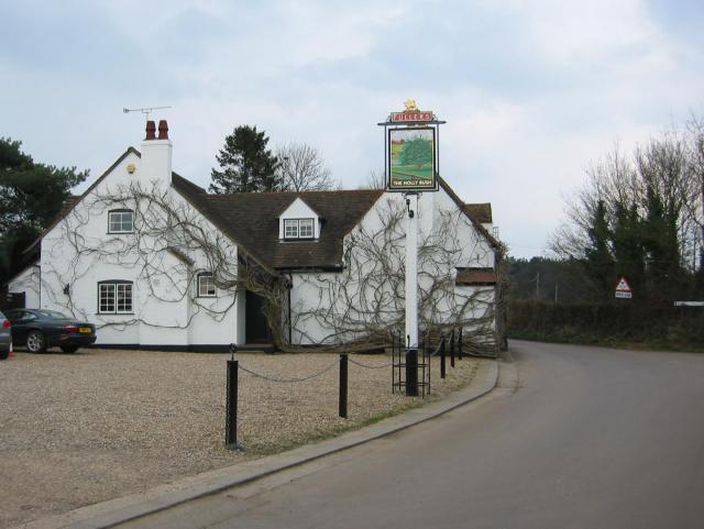
Images are sourced within 2km of 51.748664/-0.38868014 or Grid Reference TL1106. Thanks to Geograph Open Source API. All images are credited.

M1 at J7 The M1 is a north–south motorway connecting London to Leeds, where it joins the A1(M) near Aberford. It was the first motorway to be completed in the United Kingdom.
The motorway is 193 miles long and was constructed in four phases. Most of the motorway was opened between 1959 and 1968 but the southern end was extended in 1977 and the northern end was extended in 1999.
M1 at J7
The M1 is a north–south motorway connecting London to Leeds, where it joins the A1(M) near Aberford. It was the first motorway to be completed in the United Kingdom. The motorway is 193 miles long and was constructed in four phases. Most of the motorway was opened between 1959 and 1968 but the southern end was extended in 1977 and the northern end was extended in 1999.
M1, J7 The M1 is a north–south motorway connecting London to Leeds, where it joins the A1(M) near Aberford. It was the first motorway to be completed in the United Kingdom.
The motorway is 193 miles long and was constructed in four phases. Most of the motorway was opened between 1959 and 1968 but the southern end was extended in 1977 and the northern end was extended in 1999.
M1, J7
The M1 is a north–south motorway connecting London to Leeds, where it joins the A1(M) near Aberford. It was the first motorway to be completed in the United Kingdom. The motorway is 193 miles long and was constructed in four phases. Most of the motorway was opened between 1959 and 1968 but the southern end was extended in 1977 and the northern end was extended in 1999.
St Albans City and District : M1 Motorway The M1 Motorway between Junction 8 (Breakspears) and Junction 6A (Chiswell).
St Albans City and District : M1 Motorway
The M1 Motorway between Junction 8 (Breakspears) and Junction 6A (Chiswell).
St Albans City and District : M1 Motorway The M1 Motorway between Junction 8 (Breakspears) and Junction 6A (Chiswell).
St Albans City and District : M1 Motorway
The M1 Motorway between Junction 8 (Breakspears) and Junction 6A (Chiswell).
St Albans City and District : M1 Motorway The M1 Motorway between Junction 8 (Breakspears) and Junction 6A (Chiswell).
St Albans City and District : M1 Motorway
The M1 Motorway between Junction 8 (Breakspears) and Junction 6A (Chiswell).
St Albans City and District : The A414 A road heading off from the M1 Motorway at Junction 8.
St Albans City and District : The A414
A road heading off from the M1 Motorway at Junction 8.
Farmland, farmland... Looking NW from the track at TL107064 by Hill End Farm (buildings at right).
Farmland, farmland...
Looking NW from the track at TL107064 by Hill End Farm (buildings at right).
Gorhambury House The Gorhambury estate is private, but the owners allow the hoi-polloi to walk and cycle on their roads. 
Photo: Looking NE from the road at about TL111076.
Gorhambury House
The Gorhambury estate is private, but the owners allow the hoi-polloi to walk and cycle on their roads. Photo: Looking NE from the road at about TL111076.
The 'Holly Bush' at Potters Crouch The 'Holly Bush' pub at Potters Crouch: a village of about 4 houses.
And yes, Potters Crouch is its real name - I'm not making it up.
The 'Holly Bush' at Potters Crouch
The 'Holly Bush' pub at Potters Crouch: a village of about 4 houses. And yes, Potters Crouch is its real name - I'm not making it up.
Barn-like house, Potters Crouch Looking East into Potters Crouch on the road from Bedmond (at TL114052).
Barn-like house, Potters Crouch
Looking East into Potters Crouch on the road from Bedmond (at TL114052).
New growth in plantation Looking E along the track in the woods at about TL105053. Not the classiest woods, mind you - they seem to be a popular venue for fly-tipping and burning cars, to judge by patches of wreckage.
New growth in plantation
Looking E along the track in the woods at about TL105053. Not the classiest woods, mind you - they seem to be a popular venue for fly-tipping and burning cars, to judge by patches of wreckage.
Road from Potters Crouch to Chiswell Green Looking East from TL123052 with copse on the right, open field and then woods on the left.
Road from Potters Crouch to Chiswell Green
Looking East from TL123052 with copse on the right, open field and then woods on the left.
No Access by this route The log blocks what used to be a layby when the road was straightened but now it has been deleted for safety's sake
No Access by this route
The log blocks what used to be a layby when the road was straightened but now it has been deleted for safety's sake
The composting facility This establishment with the huge piles of composting material implies that the stuff isn't 
getting into the commercial circuit.
The composting facility
This establishment with the huge piles of composting material implies that the stuff isn't getting into the commercial circuit.
The edge of the town This view from Bedmond Lane shows the abrupt demarcation between housing estate and farmland.
The edge of the town
This view from Bedmond Lane shows the abrupt demarcation between housing estate and farmland.
Bridge over Beechtree Lane The design of this bridge carrying the M10 just before it merges with the M1 is typical of the period with the rustications
Bridge over Beechtree Lane
The design of this bridge carrying the M10 just before it merges with the M1 is typical of the period with the rustications
Westwick Row Farm The farm yard has a neat and tidy appearance .perhaps due to its close proximity to the lane.
Westwick Row Farm
The farm yard has a neat and tidy appearance .perhaps due to its close proximity to the lane.
Entrance to Kettlewells Farm  Hogg End Lane. The locked gates prevents casual infiltration by 
outsiders and photographers
Entrance to Kettlewells Farm Hogg End Lane.
The locked gates prevents casual infiltration by outsiders and photographers
Show me another place!

Square Wood is located at Grid Ref: TL1106 (Lat: 51.748664, Lng: -0.38868014)

Administrative County: Hertfordshire

District: St. Albans

Police Authority: Hertfordshire

What 3 Words

///soap.happy.launch. Near St Albans, Hertfordshire

Nearby Locations

Prae Wood Square Wood

Related Wikis

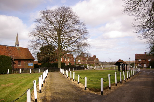
St Michael, Hertfordshire

St Michael is a civil parish in the St Albans district in Hertfordshire, England. The parish is named after but no longer includes St Michael's Church...

Old Gorhambury House

Old Gorhambury House located near St Albans, Hertfordshire, England, is a ruined Elizabethan mansion, a leading and early example of the Elizabethan prodigy...
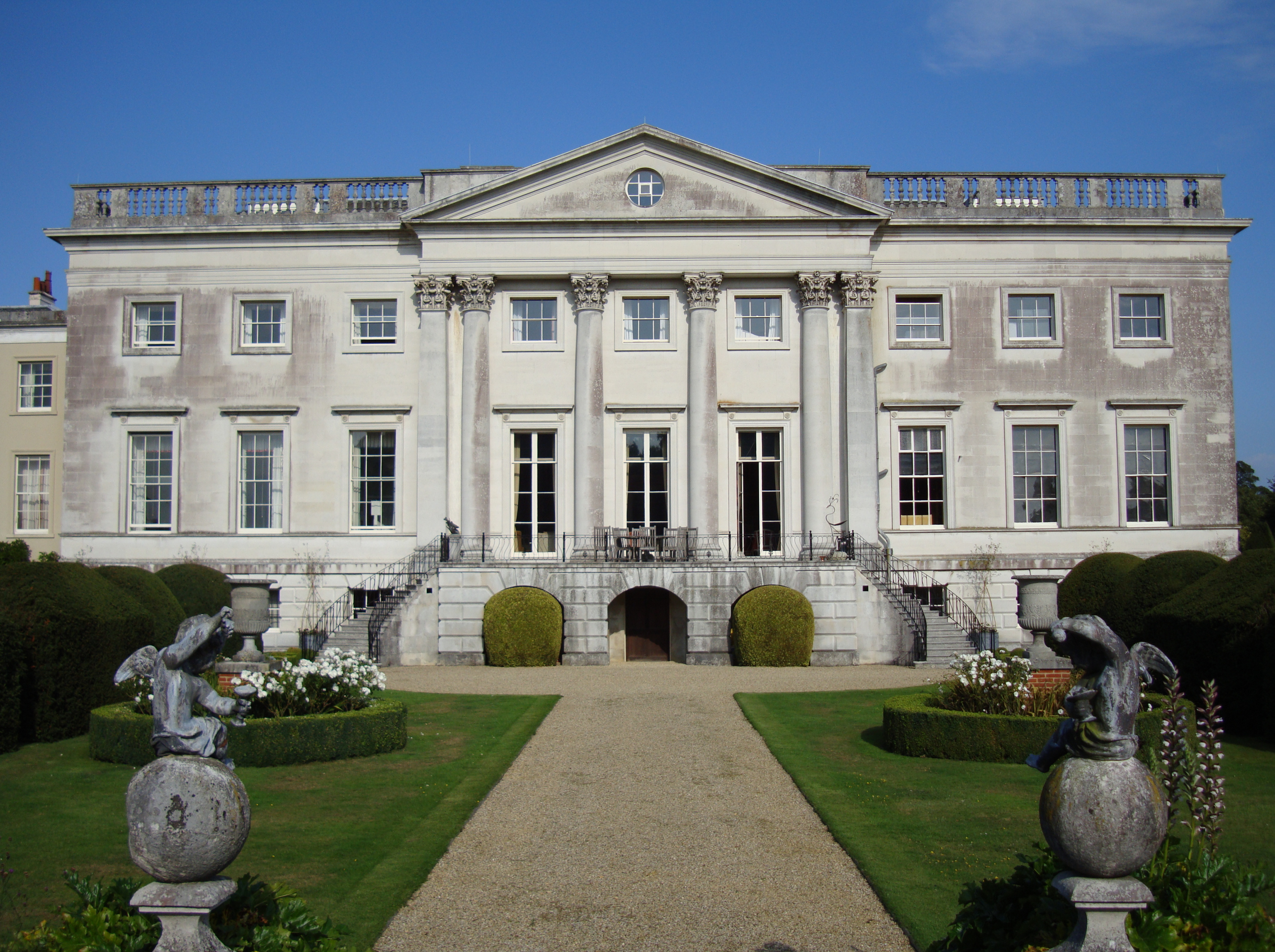
Gorhambury House

Gorhambury House is a Palladian-style house near St Albans, Hertfordshire, England. It was built between 1777 and 1784 to replace Old Gorhambury House...

International Crown

The Hanwha LifePlus International Crown is a biennial women's professional team golf tournament on the LPGA Tour. Eight national teams of four players...

Nearby Amenities

Located within 500m of 51.748664,-0.38868014
Barrier: cattle_grid
Lat/Long: 51.7499597/-0.3890832
The data included in this document is from www.openstreetmap.org. The data is made available under ODbL.

Have you been to Square Wood?

Leave your review of Square Wood below (or comments, questions and feedback).