Prae Wood

Wood, Forest in Hertfordshire St. Albans

England

Prae Wood

M1, J7 The M1 is a north–south motorway connecting London to Leeds, where it joins the A1(M) near Aberford. It was the first motorway to be completed in the United Kingdom.
The motorway is 193 miles long and was constructed in four phases. Most of the motorway was opened between 1959 and 1968 but the southern end was extended in 1977 and the northern end was extended in 1999.
M1, J7 Credit: N Chadwick

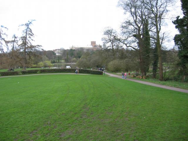
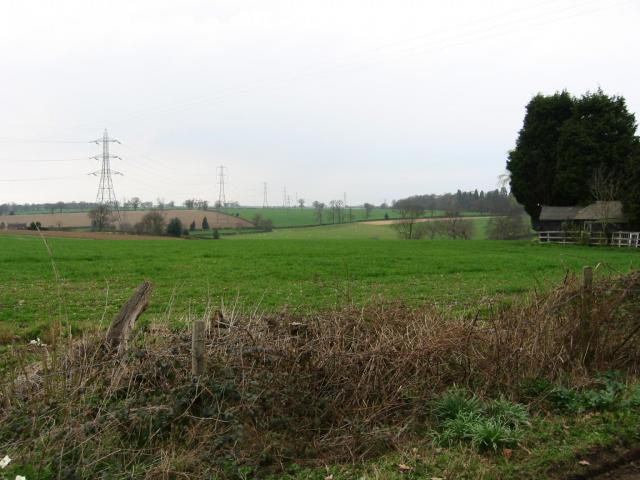
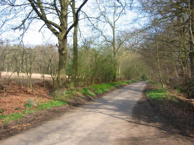
Prae Wood is a picturesque woodland located in Hertfordshire, England. Covering an area of approximately 16 hectares, this ancient forest is an important natural and historical landmark in the region. The wood is situated on the outskirts of St Albans, a historic city known for its Roman remains and medieval architecture.

Prae Wood is predominantly composed of oak trees, which provide a rich habitat for a diverse range of flora and fauna. The forest floor is covered in a thick carpet of bluebells during the spring, creating a stunning display of color and fragrance. Additionally, the wood is home to a variety of bird species, including woodpeckers, owls, and various songbirds.

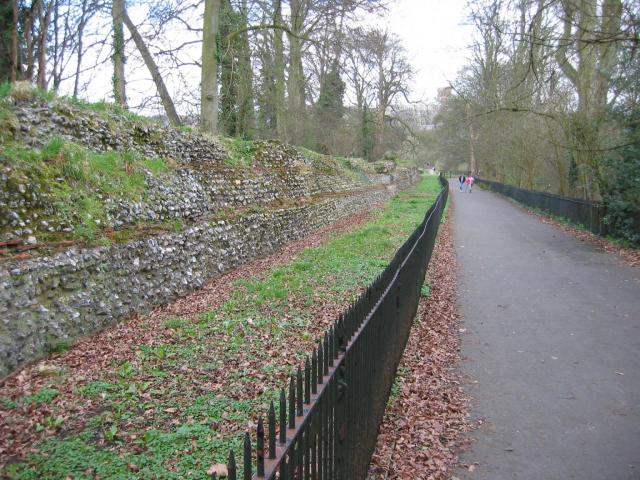
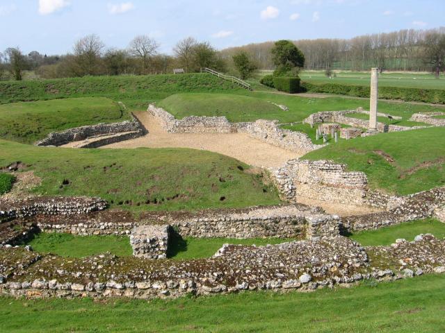
The wood has a long and fascinating history, with evidence of human activity dating back thousands of years. Archaeological findings suggest that the area has been inhabited since the Mesolithic period, and remnants of Roman settlements have also been discovered nearby. Prae Wood was once part of a larger forest known as the Hertfordshire Forest, which provided timber and other resources to the local community.

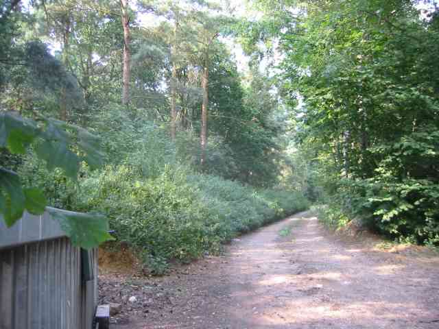
Today, Prae Wood is maintained by the local council and is open to the public. It offers a peaceful and tranquil environment, ideal for walking, birdwatching, and nature photography. The wood is easily accessible, with well-marked trails and ample parking facilities nearby. Whether visitors are looking to explore the historical significance of the area or simply enjoy the beauty of nature, Prae Wood is a must-visit destination in Hertfordshire.

If you have any feedback on the listing, please let us know in the comments section below.
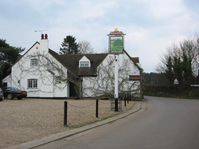
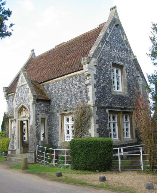
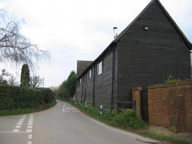
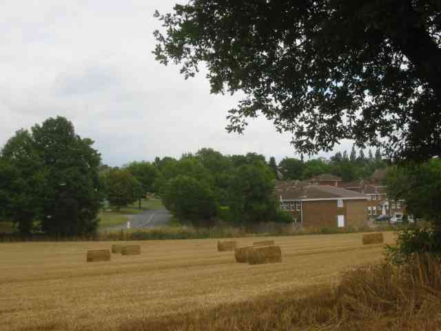
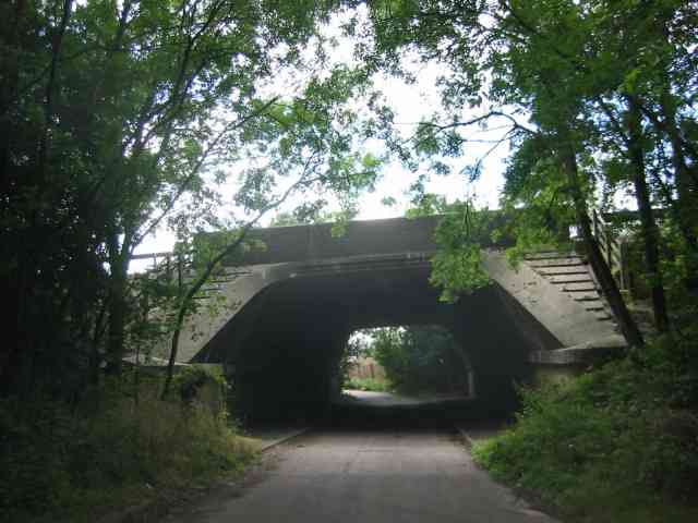
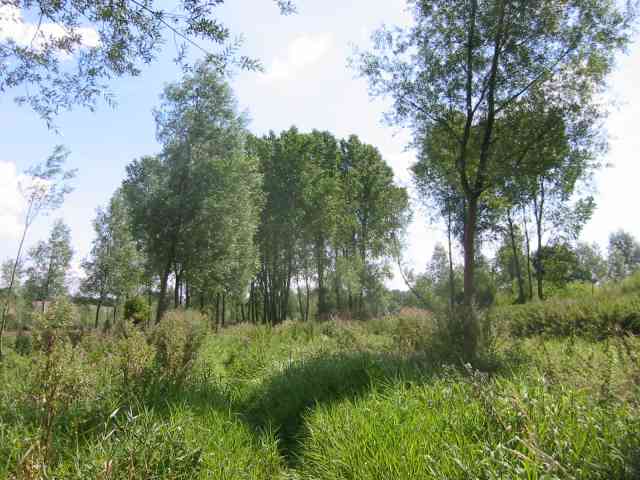
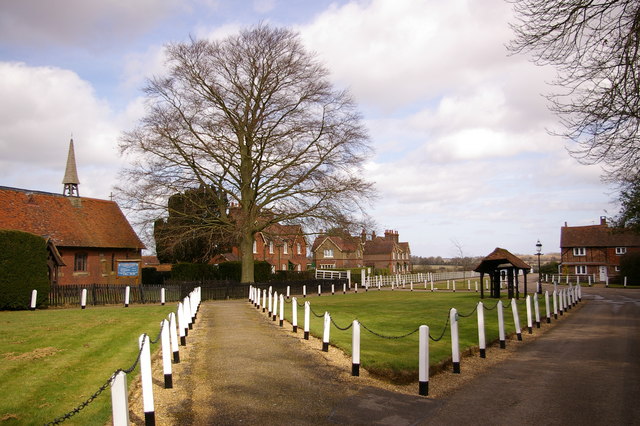
Prae Wood Images

Images are sourced within 2km of 51.749282/-0.37934323 or Grid Reference TL1106. Thanks to Geograph Open Source API. All images are credited.

M1, J7 The M1 is a north–south motorway connecting London to Leeds, where it joins the A1(M) near Aberford. It was the first motorway to be completed in the United Kingdom.
The motorway is 193 miles long and was constructed in four phases. Most of the motorway was opened between 1959 and 1968 but the southern end was extended in 1977 and the northern end was extended in 1999.
M1, J7
The M1 is a north–south motorway connecting London to Leeds, where it joins the A1(M) near Aberford. It was the first motorway to be completed in the United Kingdom. The motorway is 193 miles long and was constructed in four phases. Most of the motorway was opened between 1959 and 1968 but the southern end was extended in 1977 and the northern end was extended in 1999.
Park Looking NE from TL138067 across the lake in the park, toward the abbey in TL1407
Park
Looking NE from TL138067 across the lake in the park, toward the abbey in TL1407
Roman city wall Looking NE from TL137066, with the old Roman city wall on the left.
Roman city wall
Looking NE from TL137066, with the old Roman city wall on the left.
Farmland, farmland... Looking NW from the track at TL107064 by Hill End Farm (buildings at right).
Farmland, farmland...
Looking NW from the track at TL107064 by Hill End Farm (buildings at right).
Gorhambury House The Gorhambury estate is private, but the owners allow the hoi-polloi to walk and cycle on their roads. 
Photo: Looking NE from the road at about TL111076.
Gorhambury House
The Gorhambury estate is private, but the owners allow the hoi-polloi to walk and cycle on their roads. Photo: Looking NE from the road at about TL111076.
The 'Holly Bush' at Potters Crouch The 'Holly Bush' pub at Potters Crouch: a village of about 4 houses.
And yes, Potters Crouch is its real name - I'm not making it up.
The 'Holly Bush' at Potters Crouch
The 'Holly Bush' pub at Potters Crouch: a village of about 4 houses. And yes, Potters Crouch is its real name - I'm not making it up.
Stone house House by the entrance to Verulamium Roman Theatre, on the left hand side coming into St Albans along the A4147 (TL135074).
Stone house
House by the entrance to Verulamium Roman Theatre, on the left hand side coming into St Albans along the A4147 (TL135074).
Barn-like house, Potters Crouch Looking East into Potters Crouch on the road from Bedmond (at TL114052).
Barn-like house, Potters Crouch
Looking East into Potters Crouch on the road from Bedmond (at TL114052).
Roman theatre at Verulamium Remains of the theatre at the Roman city of Verulamium (Saint Albans), TL134074.
Roman theatre at Verulamium
Remains of the theatre at the Roman city of Verulamium (Saint Albans), TL134074.
Road from Potters Crouch to Chiswell Green Looking East from TL123052 with copse on the right, open field and then woods on the left.
Road from Potters Crouch to Chiswell Green
Looking East from TL123052 with copse on the right, open field and then woods on the left.
The Parish Church of St Michael, St Albans This church is on the edge of Verulamium park, close to the Roman museum. It was probably originally created to receive pilgrims on their way to the shrine of St Alban at the Abbey.
The Parish Church of St Michael, St Albans
This church is on the edge of Verulamium park, close to the Roman museum. It was probably originally created to receive pilgrims on their way to the shrine of St Alban at the Abbey.
No Access by this route The log blocks what used to be a layby when the road was straightened but now it has been deleted for safety's sake
No Access by this route
The log blocks what used to be a layby when the road was straightened but now it has been deleted for safety's sake
The composting facility This establishment with the huge piles of composting material implies that the stuff isn't 
getting into the commercial circuit.
The composting facility
This establishment with the huge piles of composting material implies that the stuff isn't getting into the commercial circuit.
The edge of the town This view from Bedmond Lane shows the abrupt demarcation between housing estate and farmland.
The edge of the town
This view from Bedmond Lane shows the abrupt demarcation between housing estate and farmland.
Bridge over Beechtree Lane The design of this bridge carrying the M10 just before it merges with the M1 is typical of the period with the rustications
Bridge over Beechtree Lane
The design of this bridge carrying the M10 just before it merges with the M1 is typical of the period with the rustications
The Ver Walk  at Bow Bridge Despite being a "wellknown" walk the footpath was too overgrown to be passable with any pleasure.
The pumping station is to the rear of the viewpoint.
The Ver Walk at Bow Bridge
Despite being a "wellknown" walk the footpath was too overgrown to be passable with any pleasure. The pumping station is to the rear of the viewpoint.
Private Road into Prae Wood off  A 4147 The impression given is that a timber conversion plant is just beyond the turn. This is the Gorhambury Estate.
Private Road into Prae Wood off A 4147
The impression given is that a timber conversion plant is just beyond the turn. This is the Gorhambury Estate.
Old City Wall Part of the remaining city wall of St. Albans near to the Cathedral.
Old City Wall
Part of the remaining city wall of St. Albans near to the Cathedral.
Show me another place!

Prae Wood is located at Grid Ref: TL1106 (Lat: 51.749282, Lng: -0.37934323)

Administrative County: Hertfordshire

District: St. Albans

Police Authority: Hertfordshire

What 3 Words

///winter.reader.empty. Near St Albans, Hertfordshire

Nearby Locations

Square Wood Prae Wood

Related Wikis

St Michael, Hertfordshire

St Michael is a civil parish in the St Albans district in Hertfordshire, England. The parish is named after but no longer includes St Michael's Church...

Verlamion

Verlamion, or Verlamio, was a settlement in Iron Age Britain. It was a major centre of the Catuvellauni tribe from about 20 BC until shortly after the...
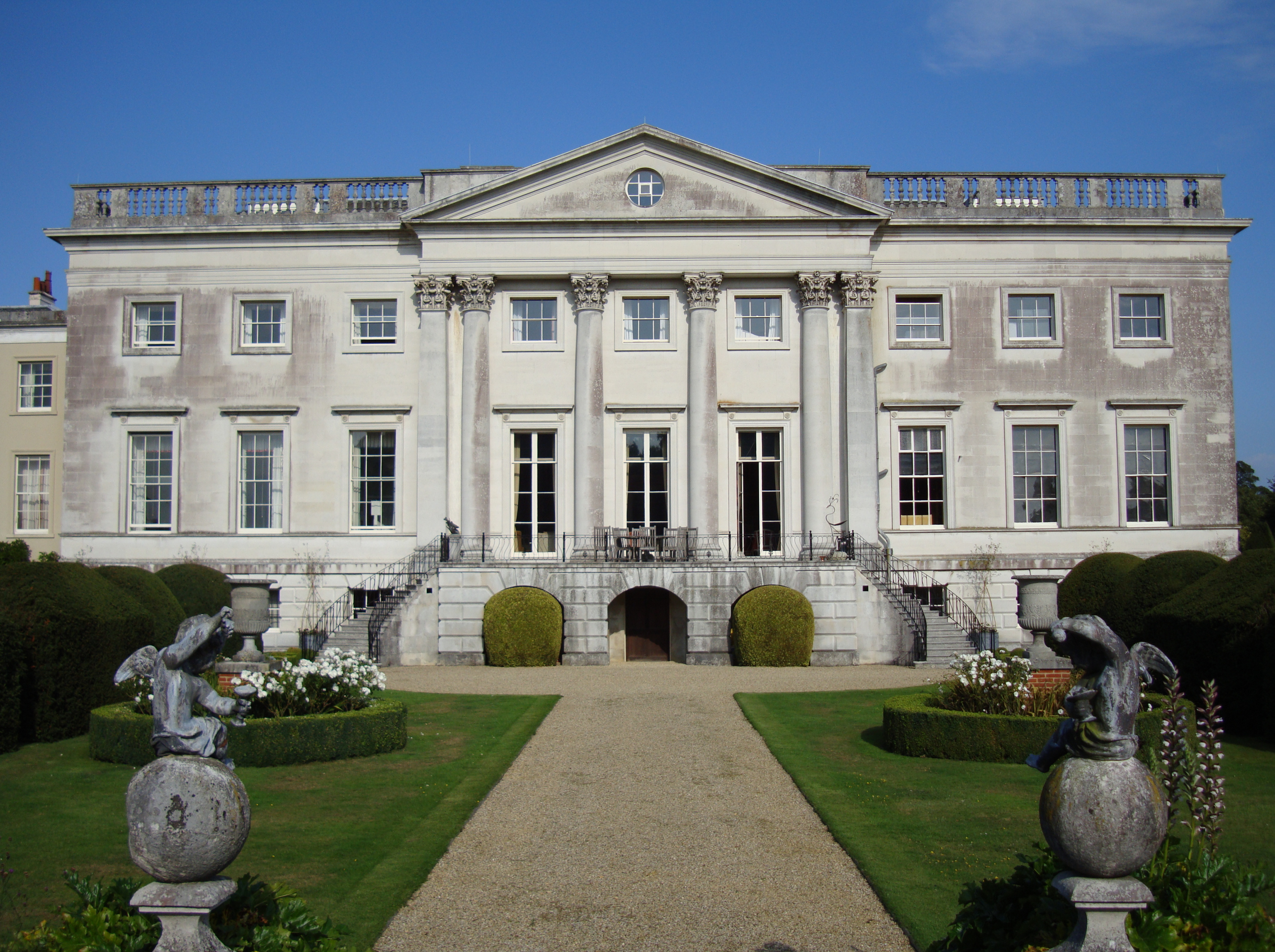
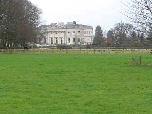
Gorhambury House

Gorhambury House is a Palladian-style house near St Albans, Hertfordshire, England. It was built between 1777 and 1784 to replace Old Gorhambury House...

Old Gorhambury House

Old Gorhambury House located near St Albans, Hertfordshire, England, is a ruined Elizabethan mansion, a leading and early example of the Elizabethan prodigy...

Nearby Amenities

Located within 500m of 51.749282,-0.37934323
Site of Prae Wood Camp
Historic: archaeological_site
Source: https://maps.nls.uk/view-full/102343343#zoom=6&lat=5073&lon=7220&layers=BT
Website: https://ancientmonuments.uk/101778-verulamium-prae-wood-settlement-st-albans-verulam-ward
Lat/Long: 51.7496021/-0.3799725
The data included in this document is from www.openstreetmap.org. The data is made available under ODbL.

Have you been to Prae Wood?

Leave your review of Prae Wood below (or comments, questions and feedback).