Munery's Copse

Wood, Forest in Sussex Worthing

England

Munery's Copse

Footpath junction with Grub Ride
Footpath junction with Grub Ride Credit: Shazz

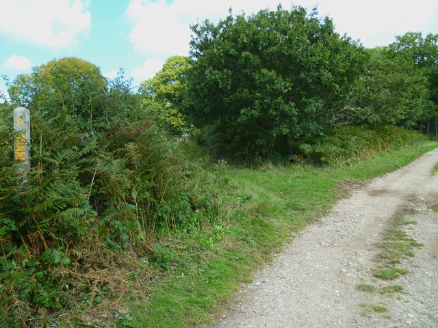
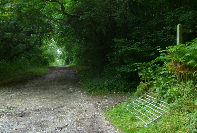
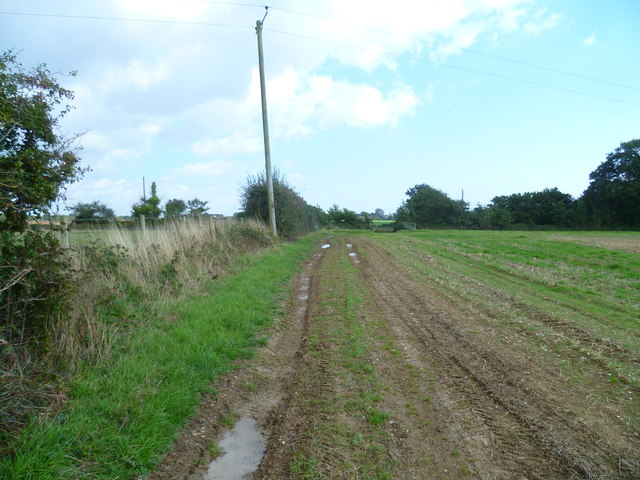
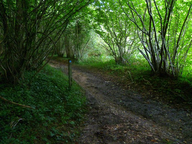
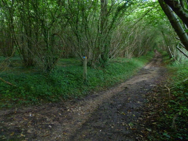
Munery's Copse is a picturesque woodland located in Sussex, England. Covering an area of approximately 20 acres, it is nestled in the heart of the countryside, providing a peaceful retreat for nature lovers and outdoor enthusiasts. The copse is predominantly made up of deciduous trees, with oak, beech, and ash being the most common species found here.

The woodland is known for its rich biodiversity, offering a habitat for a variety of flora and fauna. Bluebells carpet the forest floor in the spring, creating a stunning display of vibrant colors. Ferns, mosses, and lichens thrive in the damp and shaded areas, adding to the copse's natural charm.

Munery's Copse is also home to a diverse range of wildlife. Birdwatchers can spot species such as woodpeckers, owls, and thrushes, while mammal enthusiasts may have the chance to encounter foxes, badgers, and even deer. The copse's tranquil atmosphere provides an ideal setting for wildlife to flourish.

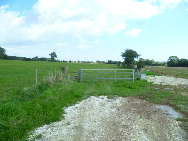
The woodland is crisscrossed by several well-maintained footpaths, allowing visitors to explore its beauty at their own pace. These paths wind through the copse, leading to hidden clearings and providing breathtaking views across the surrounding countryside.

Munery's Copse is a popular destination for nature walks, picnics, and photography. With its serene ambiance, diverse ecosystem, and stunning natural features, it is a must-visit location for anyone seeking to connect with nature in Sussex.

If you have any feedback on the listing, please let us know in the comments section below.

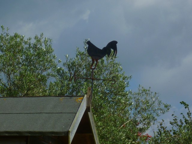
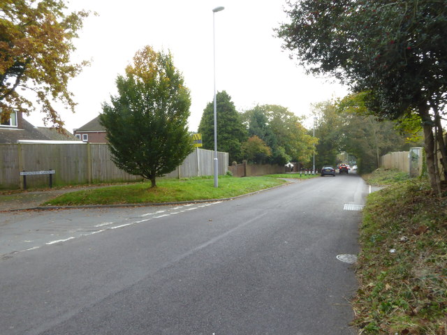
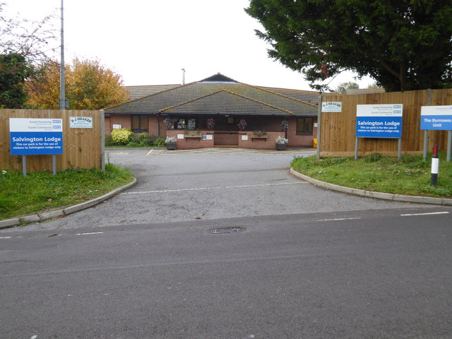
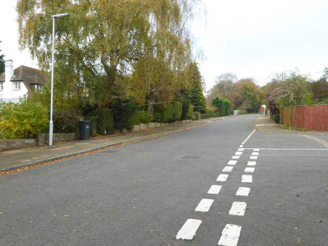
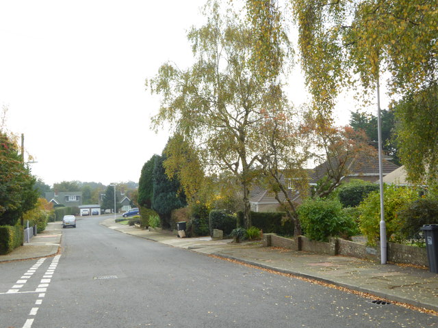
Munery's Copse Images

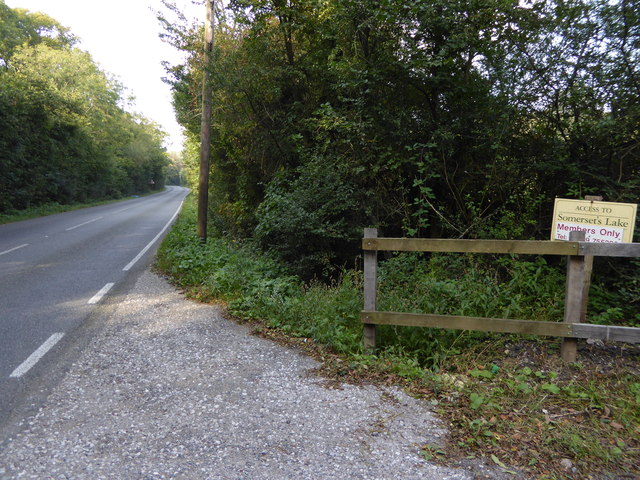
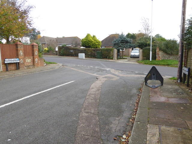
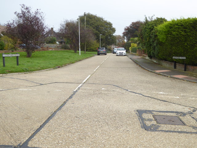
Images are sourced within 2km of 50.845791/-0.41999782 or Grid Reference TQ1106. Thanks to Geograph Open Source API. All images are credited.

Footpath junction with Grub Ride
Looking west on Grub Ride from bridleway crossing Quite high in the trees on the left is a notice declaring PRIVATE  and No public right of way.
Looking west on Grub Ride from bridleway crossing
Quite high in the trees on the left is a notice declaring PRIVATE and No public right of way.
Weatherbird by bridleway What sort of bird is it?
Weatherbird by bridleway
What sort of bird is it?
Bridleway passes Keepers Cottage See also <a title="https://www.geograph.org.uk/photo/3535503" href="https://www.geograph.org.uk/photo/3535503">Link</a>.
Bridleway passes Keepers Cottage
See also Link.
Weathercock by bridleway
Path east to bridleway It's a moot point as to which side of the hedge is the path.
Path east to bridleway
It's a moot point as to which side of the hedge is the path.
Field gate and stile east of Clapham This was taken looking back the way I had come. I had not used the stile and had been on the wrong side of the hedge.
Field gate and stile east of Clapham
This was taken looking back the way I had come. I had not used the stile and had been on the wrong side of the hedge.
Footpath joins bridleway in Clapham Wood
Bridleway going northwards from footpath junction A view the other way is at <a title="https://www.geograph.org.uk/photo/2635796" href="https://www.geograph.org.uk/photo/2635796">Link</a>.
Bridleway going northwards from footpath junction
A view the other way is at Link.
Looking north on Titnore Lane
Titnore Lane looking north from small bridge
Titnore Lane looking south from small bridge
Looking south on Salvington Hill
Entrance to Salvington Lodge
West Way looking north
West Way looking south
The eastern end of West Way at the junction with Salvington Hill
Looking into Lowther Road
Show me another place!

Munery's Copse is located at Grid Ref: TQ1106 (Lat: 50.845791, Lng: -0.41999782)

Administrative County: West Sussex

District: Worthing

Police Authority: Sussex

What 3 Words

///rejoins.diggers.hopes. Near Findon, West Sussex

Nearby Locations

Munery's Copse Cote Bottom

Related Wikis

Cote, West Sussex

Cote (also Walcote or Coate) was a hamlet in the former parish of Durrington, West Sussex (now a suburb of Worthing), England. It is 3 miles (4.8 km) northwest...

High Salvington Windmill

Durrington or High Salvington Windmill is a Grade II listed post mill in High Salvington, Sussex that has been restored and is in full working order....

High Salvington

High Salvington is a neighbourhood of Worthing, in the borough of Worthing in West Sussex, England. It is centred 2.5 miles (4.0 km) northwest of the town...

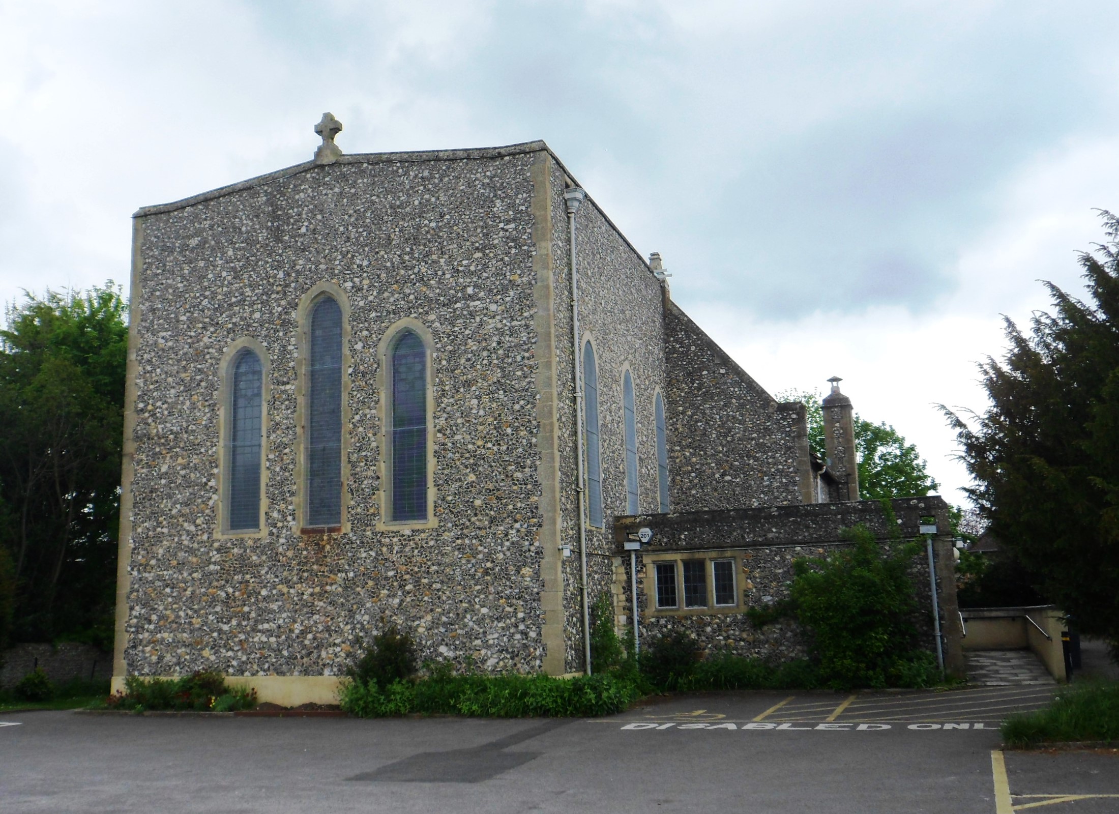
St Symphorian's Church, Durrington

St Symphorian's Church is an Anglican church in the Durrington area of the borough of Worthing, one of seven local government districts in the English...

Nearby Amenities

Located within 500m of 50.845791,-0.41999782
Bus Stop
Cote Street
Naptan AtcoCode: 4400WO0444
Naptan Bearing: E
Naptan CommonName: Cote Street
Naptan Indicator: Little Chef
Naptan Landmark: Cote Street
Naptan NaptanCode: wsxdpmwg
Naptan Street: Arundel Road
Naptan Verified: no
Source: naptan_import
Lat/Long: 50.8413441/-0.4192748
Post Box
Brand: Royal Mail
Brand Wikidata: Q638098
Brand Wikipedia: en:Royal Mail
Collection Plate: CP7D
Collection Times: Mo-Fr 09:00; Sa 07:00
Operator: Royal Mail
Operator Wikidata: Q638098
Post Box Type: lamp
Ref: BN13 1786D
Royal Cypher: EIIR
Royal Cypher Wikidata: Q33102113
Lat/Long: 50.8420872/-0.4187046
The data included in this document is from www.openstreetmap.org. The data is made available under ODbL.

Have you been to Munery's Copse?

Leave your review of Munery's Copse below (or comments, questions and feedback).