Twelve Acres

Wood, Forest in Surrey Mole Valley

England

Twelve Acres

Old Oast, Ellens Green, Horsham -
Old Oast, Ellens Green, Horsham Credit: Oast House Archive

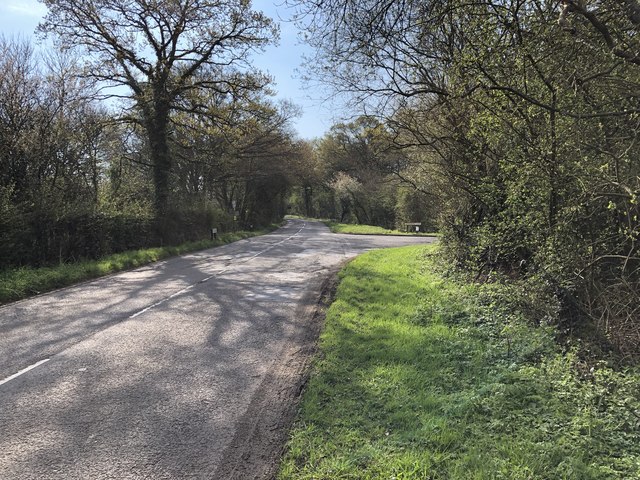
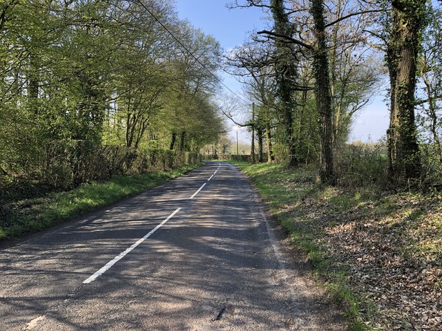
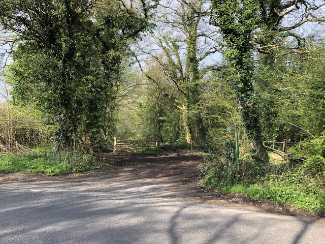
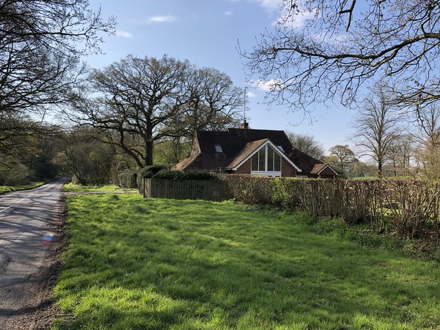
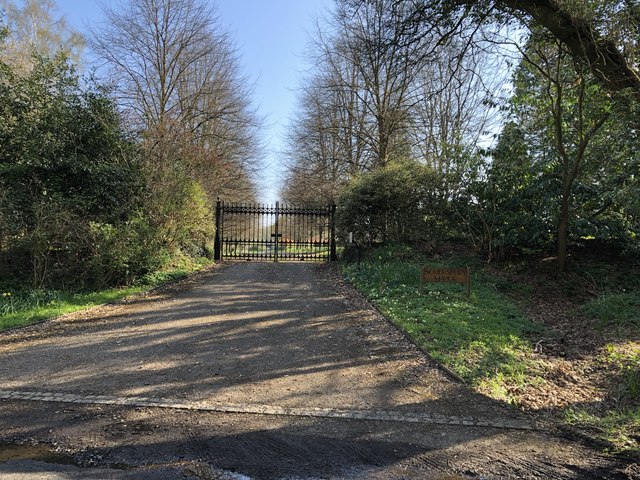
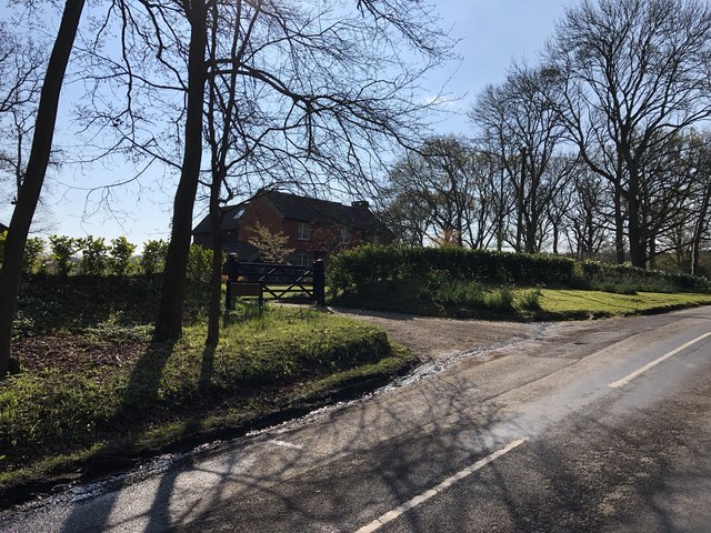
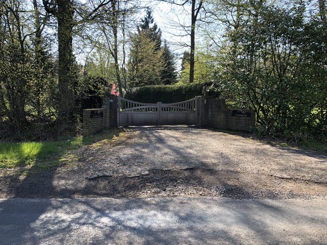
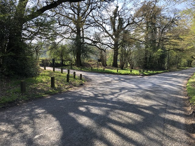
Twelve Acres, Surrey, located in the Wood area of the county, is a picturesque forested landscape spread across an expansive twelve-acre plot. Situated amidst the natural beauty of Surrey, this woodland retreat offers a serene and idyllic setting for nature lovers and outdoor enthusiasts.

The forest boasts a diverse range of tree species, including oak, birch, beech, and pine, creating a rich tapestry of colors throughout the year. The dense canopy of these majestic trees provides a haven for numerous wildlife species, making it a popular destination for birdwatchers and animal lovers alike.

Visitors can explore the forest through a well-maintained network of walking trails that wind their way through the woods, allowing for peaceful strolls and invigorating hikes. The trails offer varying levels of difficulty, catering to both casual walkers and more experienced hikers.

Within Twelve Acres, there are also several open spaces and clearings, offering opportunities for picnics, outdoor gatherings, and nature photography. The peaceful ambiance and stunning natural surroundings make it an ideal place for relaxation and rejuvenation.

The forest is easily accessible, with ample parking facilities and well-marked entrances. It is open to the public year-round, providing a tranquil escape from the hustle and bustle of everyday life. Twelve Acres, Surrey, truly epitomizes the beauty of the British countryside and offers a haven for those seeking solace in nature's embrace.

If you have any feedback on the listing, please let us know in the comments section below.

Twelve Acres Images

Images are sourced within 2km of 51.128085/-0.4104562 or Grid Reference TQ1137. Thanks to Geograph Open Source API. All images are credited.

Old Oast, Ellens Green, Horsham -
Old Oast, Ellens Green, Horsham
-
Approaching Somersbury Lane On The Green (lane) nearing the junction with Somersbury Lane leaving to the right. Beyond the junction it becomes Horsham Lane.
Approaching Somersbury Lane
On The Green (lane) nearing the junction with Somersbury Lane leaving to the right. Beyond the junction it becomes Horsham Lane.
Somersbury Lane Heading southwest on the lane near Collendene.
Somersbury Lane
Heading southwest on the lane near Collendene.
Path leaving Somersbury Lane The public footpath leaves the lane at a corner and heads along a ridgeway to Longhurst Hill.
Path leaving Somersbury Lane
The public footpath leaves the lane at a corner and heads along a ridgeway to Longhurst Hill.
House by the entrance to Coxland The house is possibly a former Lodge at the entrance to Coxland from Somersbury Lane.
House by the entrance to Coxland
The house is possibly a former Lodge at the entrance to Coxland from Somersbury Lane.
Entrance to Somersbury Manor The impressive gated entrance to Somersbury Manor. The Manor House is a Grade II listed building.
Entrance to Somersbury Manor
The impressive gated entrance to Somersbury Manor. The Manor House is a Grade II listed building.
Somersbury Cottage The cottage near Somersbury Manor viewed from Somersbury Lane.
Somersbury Cottage
The cottage near Somersbury Manor viewed from Somersbury Lane.
Entrance to Collendene
Entrance to Hill House The entrance leads onto a long driveway up to the house.
Entrance to Hill House
The entrance leads onto a long driveway up to the house.
Approaching the B2128 On Somersbury Lane nearing the junction with the B2128. On the left is the Old Oast and ahead is Sharpe’s Copse.
Approaching the B2128
On Somersbury Lane nearing the junction with the B2128. On the left is the Old Oast and ahead is Sharpe’s Copse.
Cottage Industry! This black, weather-boarded wooden cottage is used to sell wooden furniture. Note the black cat on the hut behind.
Cottage Industry!
This black, weather-boarded wooden cottage is used to sell wooden furniture. Note the black cat on the hut behind.
Field north of the B2128
Roman road? Mapped across this field is the course of a Roman road leaving Stane Street at Rowhook and heading roughly north-west. It enters the field somewhat to the left of the viewpoint, and leaves through the trees on the far side roughly in the middle of the shot. I could not see any sign, although an aerial photograph shows a faint trace. However, this may be modern, as there are gates between fields at the mapped entry and exit points. It is likely the high ground in the distance was used by the Romans as a sighting point for the road construction.
Roman road?
Mapped across this field is the course of a Roman road leaving Stane Street at Rowhook and heading roughly north-west. It enters the field somewhat to the left of the viewpoint, and leaves through the trees on the far side roughly in the middle of the shot. I could not see any sign, although an aerial photograph shows a faint trace. However, this may be modern, as there are gates between fields at the mapped entry and exit points. It is likely the high ground in the distance was used by the Romans as a sighting point for the road construction.
Poor state of footpath 442 Looking back after struggling through the final part of this lightly used footpath. Bushes have been allowed to grow over the route, although it could be worse.
Poor state of footpath 442
Looking back after struggling through the final part of this lightly used footpath. Bushes have been allowed to grow over the route, although it could be worse.
Sharpe's Copse A roadside Copse.
Sharpe's Copse
A roadside Copse.
Stile and game feeder drum on footpath 439
Cobbler's Brook flowing under footbridge
Passing The Wind Break Could have done with a bit of wind to clear the fog, on the footpath to the B2128.
Passing The Wind Break
Could have done with a bit of wind to clear the fog, on the footpath to the B2128.
Show me another place!

Twelve Acres is located at Grid Ref: TQ1137 (Lat: 51.128085, Lng: -0.4104562)

Administrative County: Surrey

District: Mole Valley

Police Authority: Surrey

What 3 Words

///regulator.slices.bronzer. Near Ewhurst, Surrey

Related Wikis

Smokejack Clay Pit

Smokejack Clay Pit is a 56-hectare (140-acre) geological Site of Special Scientific Interest east of Cranleigh in Surrey. It is a Geological Conservation...

Wallis Wood

Wallis Wood is a 14-hectare (35-acre) nature reserve south-east of Ewhurst in Surrey. It is managed by the Surrey Wildlife Trust.A stream runs through...

High Weald AONB

The High Weald Area of Outstanding Natural Beauty is in south-east England. Covering an area of 1,450 square kilometres (560 sq mi), it takes up parts...

Stane Street (Chichester)

Stane Street is the modern name of the 91 km-long (57 mi) Roman road in southern England that linked Londinium (London) to Noviomagus Reginorum (Chichester...

Baynards Park

Baynards Park is a 2,000 acres (810 ha) estate and site of a demolished country house with extant outbuildings, privately owned, in the south of the parishes...

Longhurst Lodge

Longhurst Lodge is a Grade II listed building in Cranleigh, Surrey, England. It is located on the former Baynards Park estate, about a quarter of a mile...

Ewhurst, Surrey

Ewhurst is a rural village and civil parish in the borough of Waverley in Surrey, England. It is located 8.3 miles (13.4 km) south-east of Guildford,...

Ockley

Ockley is a rural village in Surrey. It lies astride the A29, the modern road using the alignment of Stane Street (Chichester). The A29 diverges from the...

Nearby Amenities

Located within 500m of 51.128085,-0.4104562
Barrier: stile
Lat/Long: 51.1268738/-0.4067175
Barrier: stile
Lat/Long: 51.130078/-0.4074696
Barrier: stile
Lat/Long: 51.1317891/-0.4083164
Power: pole
Source: Bing
Lat/Long: 51.1311885/-0.4085754
Power: pole
Source: Bing
Lat/Long: 51.1315823/-0.4099648
Power: pole
Source: Bing
Lat/Long: 51.1294648/-0.4050992
Power: pole
Source: Bing
Lat/Long: 51.1304849/-0.4055659
Power: pole
Source: Bing
Lat/Long: 51.128734/-0.403951
Power: pole
Source: Bing
Lat/Long: 51.1298853/-0.4064776
Power: pole
Source: Bing
Lat/Long: 51.130569/-0.4076098
Post Box
Operator: Royal Mail
Post Box Type: lamp
Ref: RH12 101
Royal Cypher: EIIR
Royal Cypher Wikidata: Q33102113
Lat/Long: 51.1253415/-0.4061595
Pippen Manor
Place: isolated_dwelling
Lat/Long: 51.1256601/-0.4045115
Barn Farm
Place: farm
Lat/Long: 51.1294946/-0.4081448
Power: pole
Lat/Long: 51.1284968/-0.4046238
Power: pole
Lat/Long: 51.1271659/-0.4039684
The data included in this document is from www.openstreetmap.org. The data is made available under ODbL.

Have you been to Twelve Acres?

Leave your review of Twelve Acres below (or comments, questions and feedback).