Biggen Holt

Wood, Forest in Sussex Horsham

England

Biggen Holt

The Parish Church of St Mary The church at Sullington is a Grade I listed building. For further details see <span class="nowrap"><a title="https://historicengland.org.uk/listing/the-list/list-entry/1354077" rel="nofollow ugc noopener" href="https://historicengland.org.uk/listing/the-list/list-entry/1354077">Link</a><img style="margin-left:2px;" alt="External link" title="External link - shift click to open in new window" src="https://s1.geograph.org.uk/img/external.png" width="10" height="10"/></span>
The Parish Church of St Mary Credit: Chris Thomas-Atkin

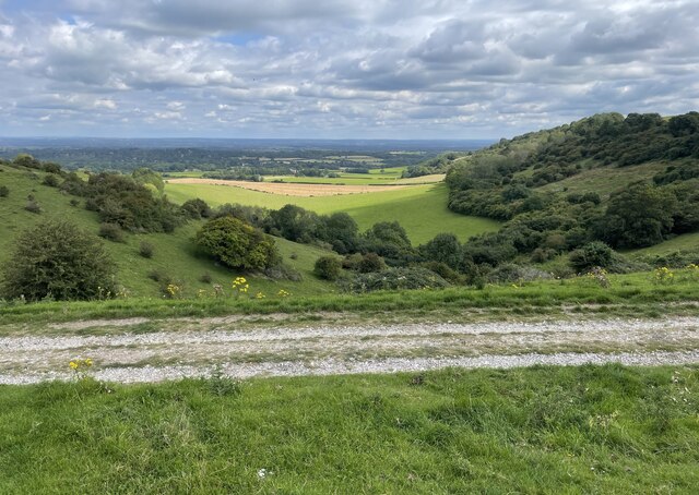
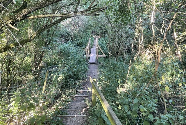
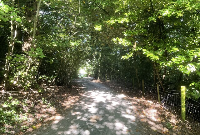
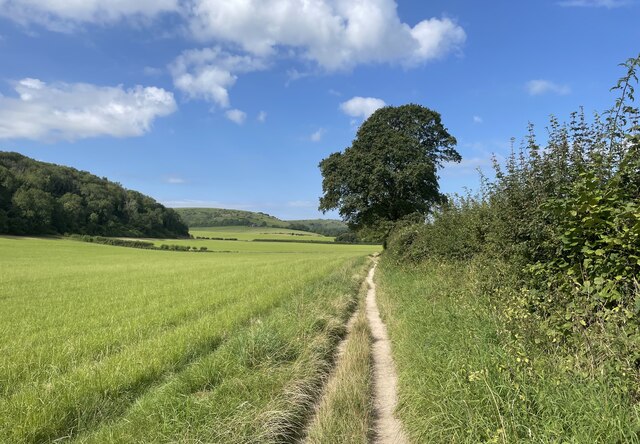
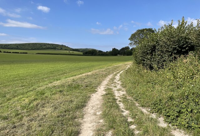
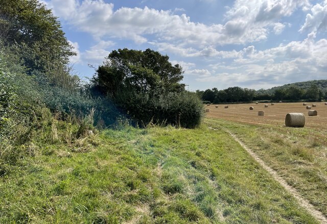
Biggen Holt, located in Sussex, is a charming woodland area characterized by its dense forest cover and tranquil ambiance. Situated within the larger Sussex Forest, Biggen Holt is a popular destination for nature enthusiasts and outdoor adventurers alike. Spanning an area of several square kilometers, this wooded expanse offers a diverse range of flora and fauna, making it an ideal spot for wildlife observation and nature walks.

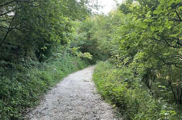
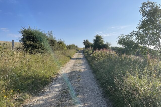
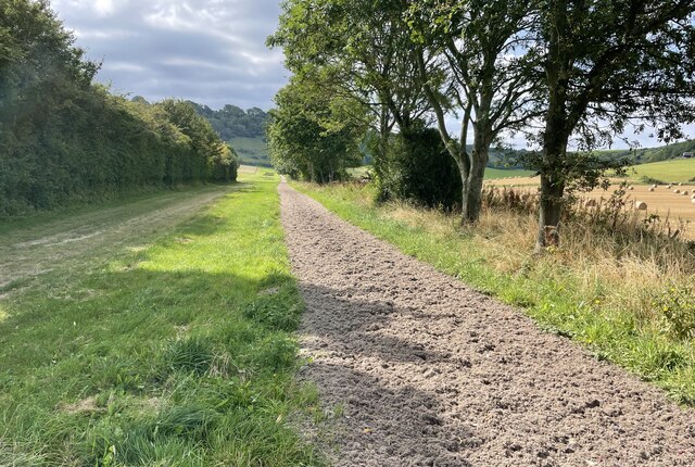
The forest canopy in Biggen Holt is dominated by majestic oak, beech, and birch trees, creating a picturesque landscape that changes with the seasons. The forest floor is covered in a rich carpet of moss, ferns, and wildflowers, providing a vibrant and peaceful setting for those who venture into its depths. Numerous well-maintained trails wind their way through the woods, offering visitors the opportunity to explore the area at their own pace and discover the hidden gems within.

Wildlife thrives in Biggen Holt, with an array of species calling this woodland their home. Squirrels can be spotted darting between the trees, while foxes and badgers leave their tracks along the forest paths. Birdwatchers will be delighted by the variety of avian species that inhabit the area, including woodpeckers, owls, and various songbirds.

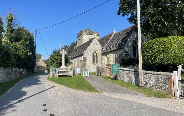
Biggen Holt is not only a haven for natural beauty but also a place of historical significance. Remnants of ancient settlements and archaeological sites can be found scattered throughout the forest, providing a glimpse into the area's rich cultural heritage.

Overall, Biggen Holt in Sussex is a captivating woodland retreat that offers a serene escape from the hustle and bustle of everyday life. Its natural beauty, diverse wildlife, and historical charm make it a must-visit destination for nature lovers and history enthusiasts alike.

If you have any feedback on the listing, please let us know in the comments section below.

Biggen Holt Images

Images are sourced within 2km of 50.897279/-0.41821337 or Grid Reference TQ1112. Thanks to Geograph Open Source API. All images are credited.

The Parish Church of St Mary The church at Sullington is a Grade I listed building. For further details see <span class="nowrap"><a title="https://historicengland.org.uk/listing/the-list/list-entry/1354077" rel="nofollow ugc noopener" href="https://historicengland.org.uk/listing/the-list/list-entry/1354077">Link</a><img style="margin-left:2px;" alt="External link" title="External link - shift click to open in new window" src="https://s1.geograph.org.uk/img/external.png" width="10" height="10"/></span>
The Parish Church of St Mary
The church at Sullington is a Grade I listed building. For further details see LinkExternal link
Sullington Manor The building close to the church is Sullington Manor, which is a Grade II listed building. See <span class="nowrap"><a title="https://historicengland.org.uk/listing/the-list/list-entry/1285147" rel="nofollow ugc noopener" href="https://historicengland.org.uk/listing/the-list/list-entry/1285147">Link</a><img style="margin-left:2px;" alt="External link" title="External link - shift click to open in new window" src="https://s1.geograph.org.uk/img/external.png" width="10" height="10"/></span>
Sullington Manor
The building close to the church is Sullington Manor, which is a Grade II listed building. See LinkExternal link
Track on Sullington Hill A typical chalk based track on the South Downs.
Track on Sullington Hill
A typical chalk based track on the South Downs.
Sullington Manor A patchwork of building materials from chalk, flint and brick, with the Church alongside
Sullington Manor
A patchwork of building materials from chalk, flint and brick, with the Church alongside
Sullington Manor Barn One of the finest barns in Sussex, now used as a heritage exhibition space and much -valued tea room
Sullington Manor Barn
One of the finest barns in Sussex, now used as a heritage exhibition space and much -valued tea room
Pressure Reducing Station The Southern Water site beside the South Downs Way near Washington.
Pressure Reducing Station
The Southern Water site beside the South Downs Way near Washington.
South Downs Way Climbing towards Chanctonbury Ring on the South Downs Way.
South Downs Way
Climbing towards Chanctonbury Ring on the South Downs Way.
South Downs Way On the South Downs Way near Chanctonbury Hill.
South Downs Way
On the South Downs Way near Chanctonbury Hill.
Footbridge near Washington Crossing a small unnamed stream public footpath number 2089_2 shortly meets Washington Bostal.
Footbridge near Washington
Crossing a small unnamed stream public footpath number 2089_2 shortly meets Washington Bostal.
The Parish Church of St Mary The church is a Grade II* (star) listed building. See <span class="nowrap"><a title="https://historicengland.org.uk/listing/the-list/list-entry/1027198" rel="nofollow ugc noopener" href="https://historicengland.org.uk/listing/the-list/list-entry/1027198">Link</a><img style="margin-left:2px;" alt="External link" title="External link - shift click to open in new window" src="https://s1.geograph.org.uk/img/external.png" width="10" height="10"/></span>
The Parish Church of St Mary
The church is a Grade II* (star) listed building. See LinkExternal link
The A24 Crossing the A24 on the bridge carrying public footpath number 2697.
The A24
Crossing the A24 on the bridge carrying public footpath number 2697.
Path near Rowdell The path descending from Rowdell is public footpath number 2697.
Path near Rowdell
The path descending from Rowdell is public footpath number 2697.
Path below the South Downs Heading west on path number 2665 towards Sullington.
Path below the South Downs
Heading west on path number 2665 towards Sullington.
Fields near Barns Farm Heading west towards Sullington on path number 2665.
Fields near Barns Farm
Heading west towards Sullington on path number 2665.
Barns Farm Barns Farm viewed from the passing public footpath.
Barns Farm
Barns Farm viewed from the passing public footpath.
Horse Gallops The Gallops head towards the South Downs.
Horse Gallops
The Gallops head towards the South Downs.
Path corner Path number 2665 technically heads round the field corner but in practice the worn path takes a more direct route.
Path corner
Path number 2665 technically heads round the field corner but in practice the worn path takes a more direct route.
Barnsfarm Hill Heading eastwards on the South Downs Way.
Barnsfarm Hill
Heading eastwards on the South Downs Way.
Show me another place!

Biggen Holt is located at Grid Ref: TQ1112 (Lat: 50.897279, Lng: -0.41821337)

Administrative County: West Sussex

District: Horsham

Police Authority: Sussex

What 3 Words

///universes.overdone.employers. Near Washington, West Sussex

Related Wikis

Windlesham House School

Windlesham House School is an independent boarding and day school for boys and girls aged 4 to 13 on the South Downs, in Pulborough, West Sussex, England...

Washington, West Sussex

Washington is a village and civil parish in the Horsham District of West Sussex, England. It is located five miles (eight kilometres) west of Steyning...

Sullington

Sullington is a village and former civil parish, now in the parish of Storrington and Sullington, in the Horsham district of West Sussex, England. The...

Rock Mill, Washington

Rock Mill is a Grade II listed smock mill at Washington, West Sussex, England, which has been converted to residential use. == History == Rock Mill was...

Nearby Amenities

Located within 500m of 50.897279,-0.41821337
Man Made: mast
Tower Type: communication
Lat/Long: 50.896077/-0.4149851
Barrier: horse_stile
Lat/Long: 50.8964643/-0.4144109
The data included in this document is from www.openstreetmap.org. The data is made available under ODbL.

Have you been to Biggen Holt?

Leave your review of Biggen Holt below (or comments, questions and feedback).