The Rough
Wood, Forest in Surrey Mole Valley
England
The Rough

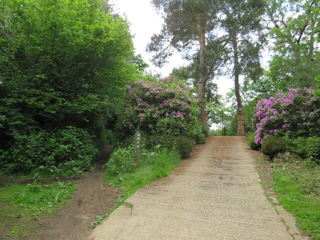
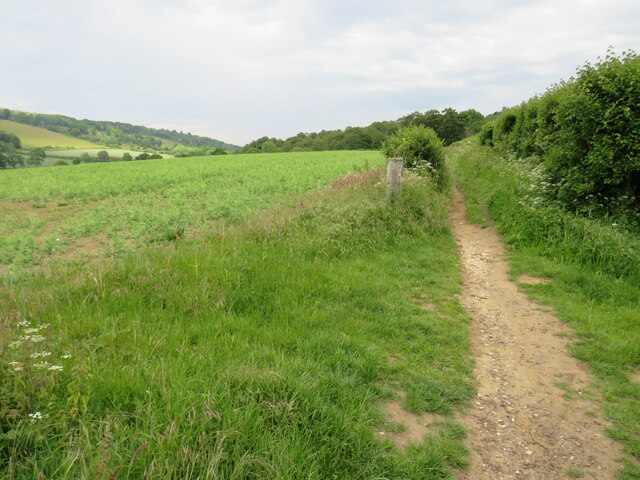
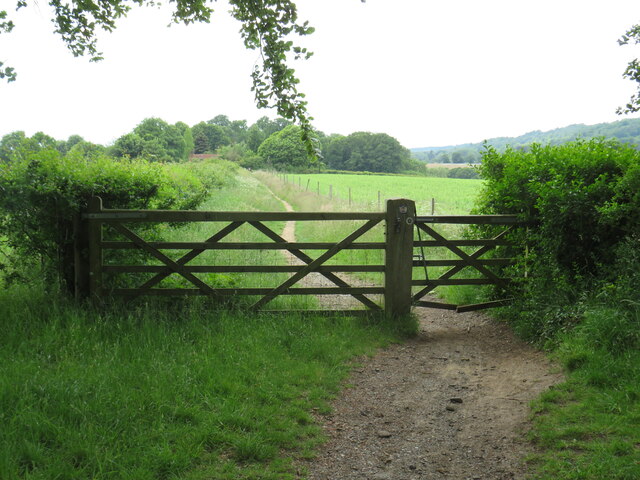
The Rough, located in the county of Surrey, England, is a picturesque woodland area nestled within the heart of the Surrey Hills Area of Outstanding Natural Beauty. Spanning over 600 acres, this forested landscape is a haven for nature enthusiasts and outdoor adventurers alike.
The Rough boasts a diverse range of flora and fauna, including ancient oak and beech trees, creating a rich and vibrant ecosystem. The woodland floor is covered in a lush carpet of bluebells during the spring, adding a burst of color and beauty to the surroundings. Wildlife thrives in this natural habitat, with sightings of deer, foxes, and a variety of bird species being common occurrences.
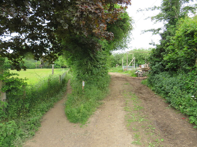
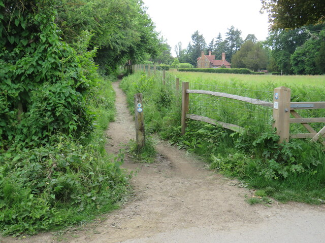
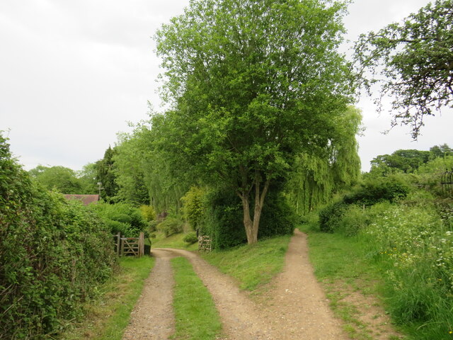
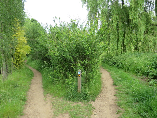
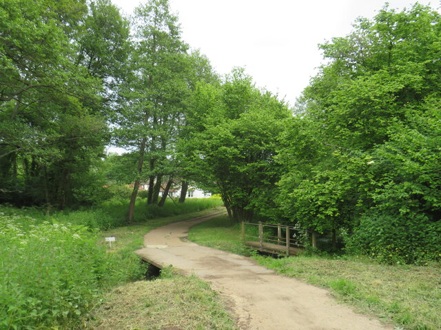
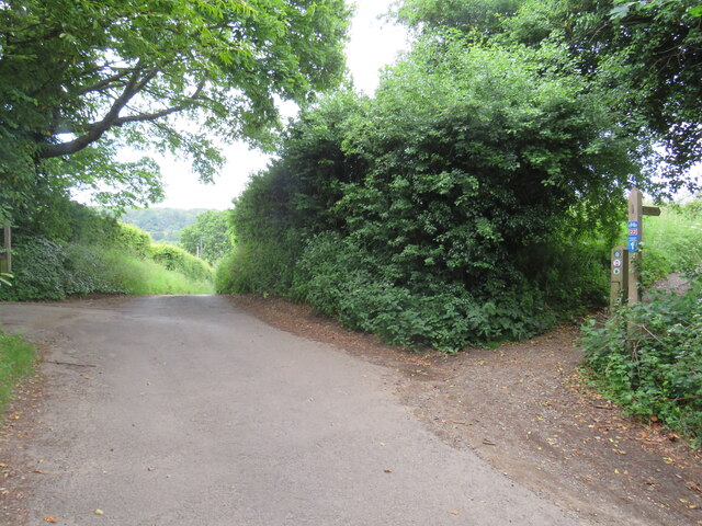
The forest offers a network of well-maintained trails and footpaths, allowing visitors to explore the area and immerse themselves in its peaceful ambiance. Whether on foot, bicycle, or horseback, individuals can traverse the leafy paths while taking in the breathtaking scenery. The Rough also features a designated picnic area, inviting visitors to relax and enjoy a meal amidst the beauty of nature.
Additionally, the forest serves as an important site for conservation efforts. Managed by local authorities, conservation initiatives are in place to protect and preserve the natural environment and its inhabitants. These efforts include maintaining the delicate balance of the ecosystem, managing invasive species, and promoting sustainable practices.
The Rough, Surrey is a true gem within the region, offering a tranquil escape from the hustle and bustle of everyday life. Its idyllic woodlands, diverse wildlife, and commitment to conservation make it a must-visit destination for nature lovers and those seeking a connection with the great outdoors.
If you have any feedback on the listing, please let us know in the comments section below.
The Rough Images
Images are sourced within 2km of 51.22038/-0.4206399 or Grid Reference TQ1047. Thanks to Geograph Open Source API. All images are credited.

The Rough is located at Grid Ref: TQ1047 (Lat: 51.22038, Lng: -0.4206399)
Administrative County: Surrey
District: Mole Valley
Police Authority: Surrey
What 3 Words
///farm.stem.shower. Near Westcott, Surrey
Nearby Locations
Related Wikis
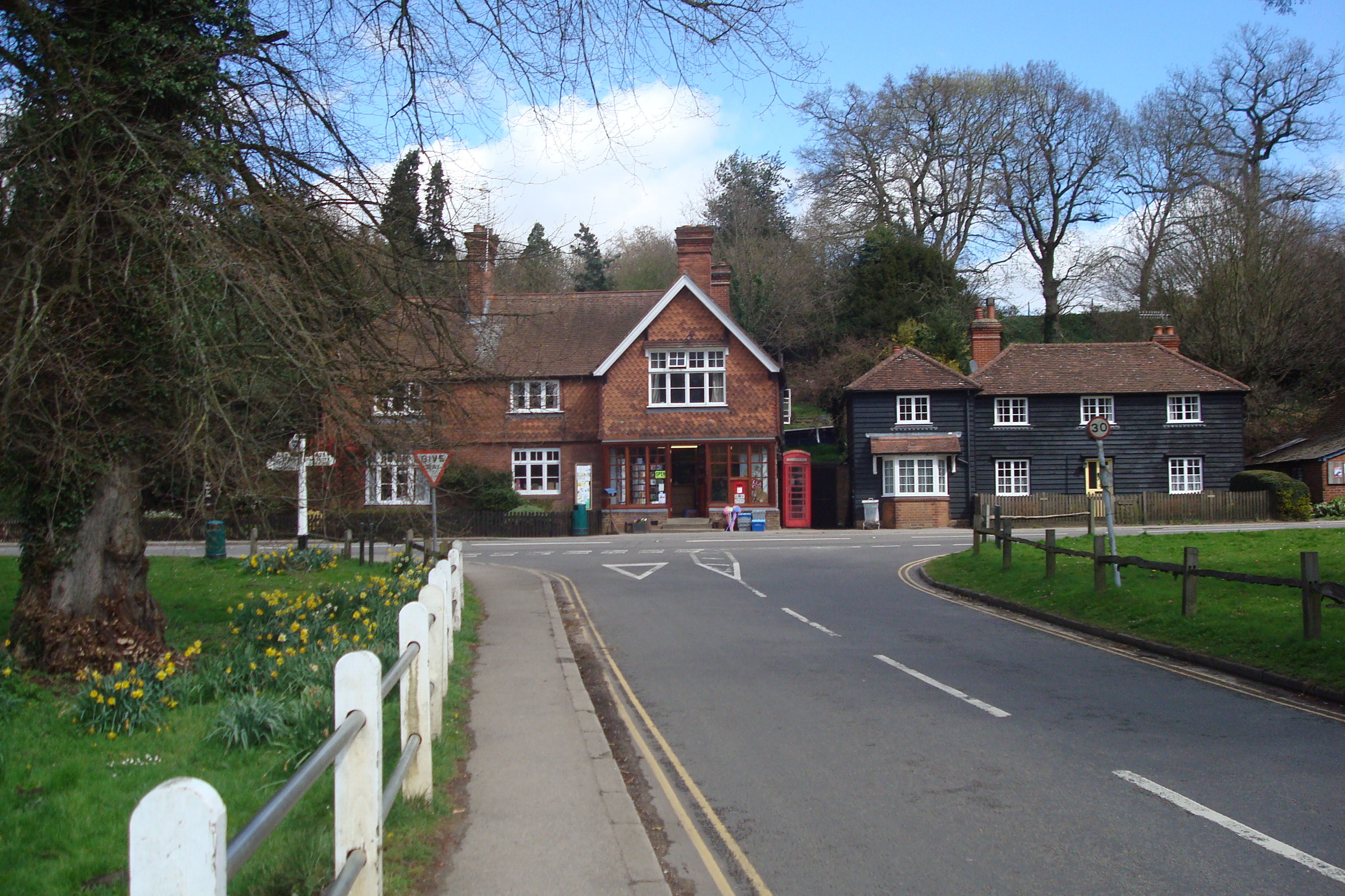
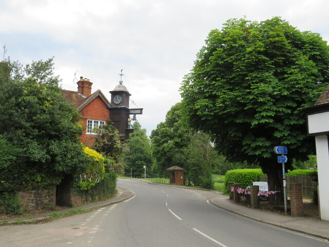
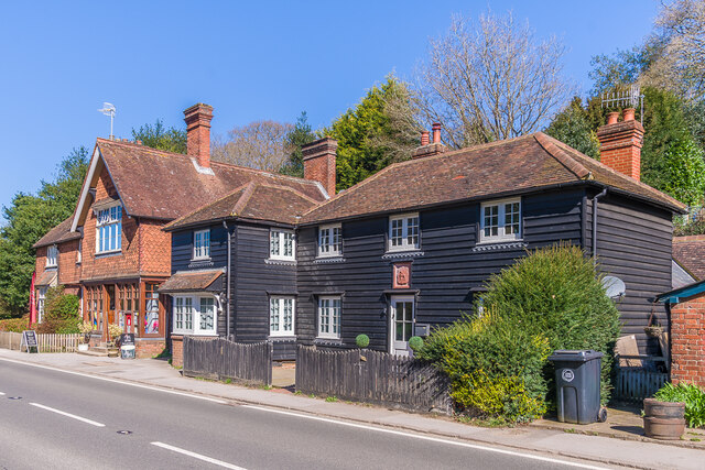
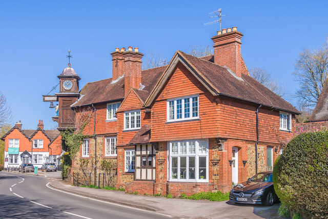
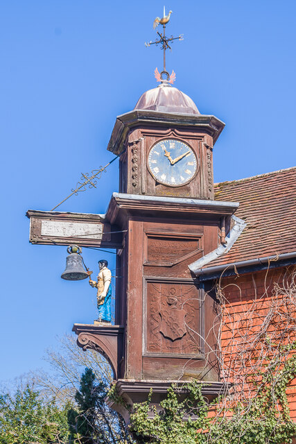
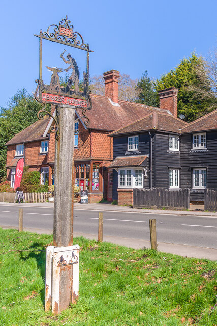
Abinger Hammer
Abinger Hammer is a village in the Vale of Holmesdale, located on the A25 in Surrey, England. The village is located within the Surrey Hills AONB, approximately...
Piney Copse
Piney Copse is 1.7 hectares (4.2 acres) of woodland located approximately 450 metres (1,480 ft) east of Gomshall railway station and north of the Surrey...
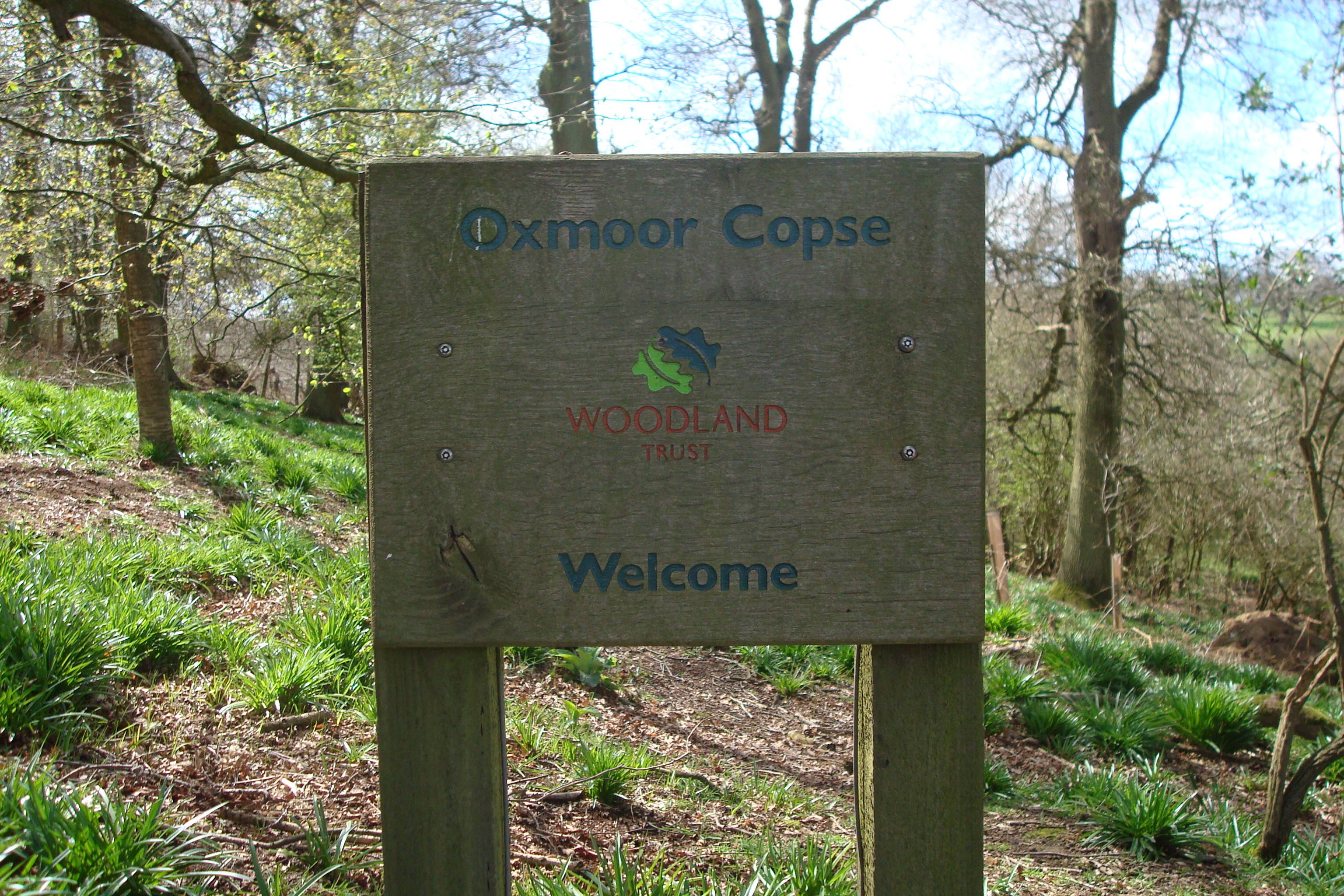
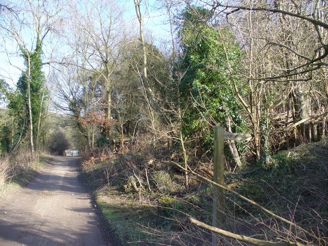
Oxmoor Copse
Oxmoor Copse is just south of the village of Abinger Hammer and to the west of the village of Abinger Common, in Surrey. It is 1.23 hectares (3.0 acres...

Gomshall railway station
Gomshall railway station serves the village of Gomshall in Surrey, England. The station, and all trains serving it, are operated by Great Western Railway...

Hackhurst and White Downs
Hackhurst and White Downs is a 185.1-hectare (457-acre) biological Site of Special Scientific Interest west of Dorking in Surrey. White Downs is a Nature...
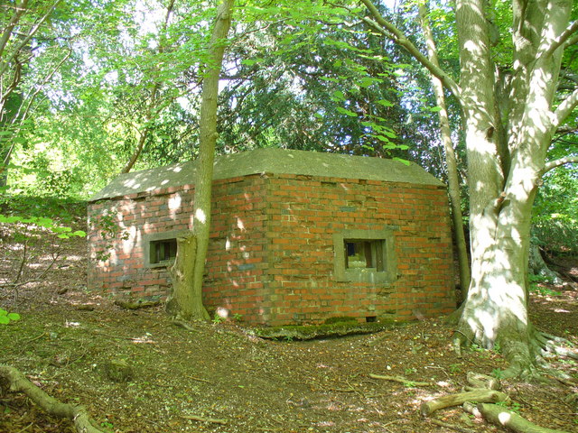
Outer London Defence Ring
The Outer London Defence Ring was a defensive ring built around London during the early part of the Second World War. It was intended as a defence against...

Gomshall
Gomshall is a village in the borough of Guildford in Surrey, England.It is on the A25, roughly halfway between Guildford and Dorking, and in Shere civil...

Wotton House, Surrey
Wotton House is a hotel, wedding venue, conference centre and former country house in Wotton near Dorking, Surrey, England. Originally the centre of the...
Related Videos

The Holiday Filming Location | Shere, Surrey England
The Holiday Filming Location Today, I took a little day trip from London to Shere in the Guildford district of Surrey. I tried to visit as ...
Leith Hill 🇬🇧 Holmwood to Gomshall walk | Hiking UK
Gomshall to Guildford walk Historic Shere, then a walk through a broad wooded valley, then along a canal to historic Guildford Se ...

Gomshall - Shere Circular Walking Trail | Marathi Travelogue
This is a 8.9-km circular trail near Guildford, Surrey. Generally considered an easy route, it takes an average of 2 h 53 min to ...
![[4k] 🇬🇧 Peaceful English countryside Shere village autumn walk - 'The holiday' filming location](https://i.ytimg.com/vi/QvFEOL1kUuU/hqdefault.jpg)
[4k] 🇬🇧 Peaceful English countryside Shere village autumn walk - 'The holiday' filming location
Join me on this beautiful autumn walk in one of the quintessentially English villages, Shere. You might have heard of it as being ...
Nearby Amenities
Located within 500m of 51.22038,-0.4206399Have you been to The Rough?
Leave your review of The Rough below (or comments, questions and feedback).