Abinger Roughs
Wood, Forest in Surrey Mole Valley
England
Abinger Roughs
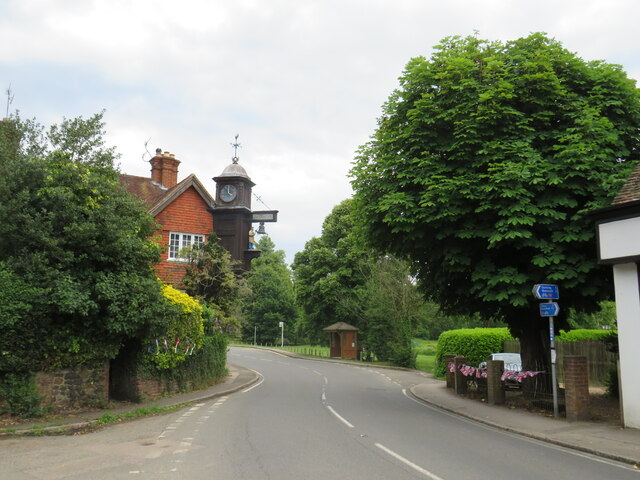
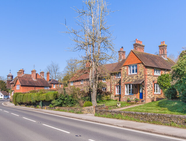
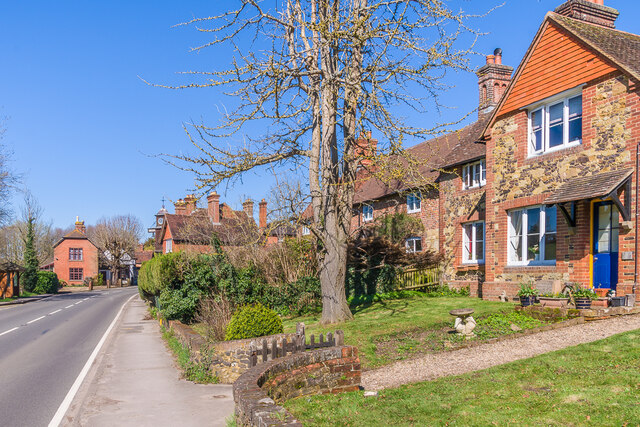
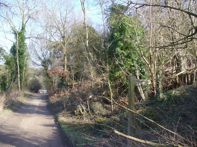
Abinger Roughs, located in Surrey, England, is a picturesque wood or forest that covers an area of approximately 200 acres. It is a part of the Surrey Hills Area of Outstanding Natural Beauty, renowned for its scenic landscapes and diverse wildlife. The wood is situated near the village of Abinger Hammer, just a short distance away from the A25 road.
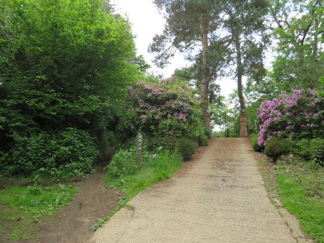
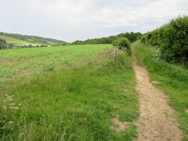
Abinger Roughs boasts a rich variety of trees, including oak, beech, and pine, among others. This diverse woodland creates a tranquil and enchanting atmosphere, making it a popular destination for nature enthusiasts and hikers. The forest floor is covered with an array of wildflowers, adding vibrant bursts of color during the spring and summer months.
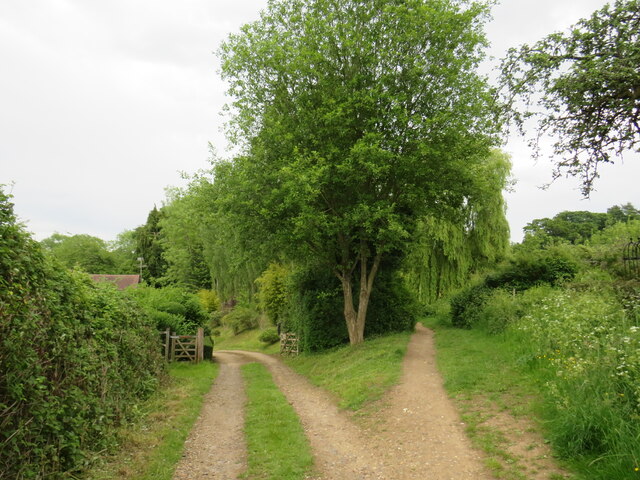
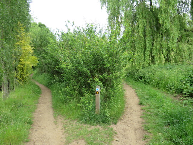
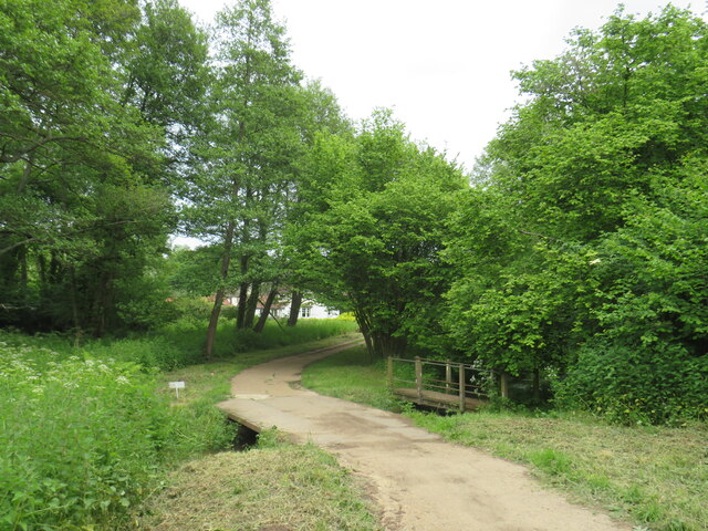
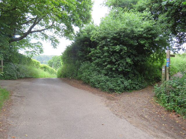
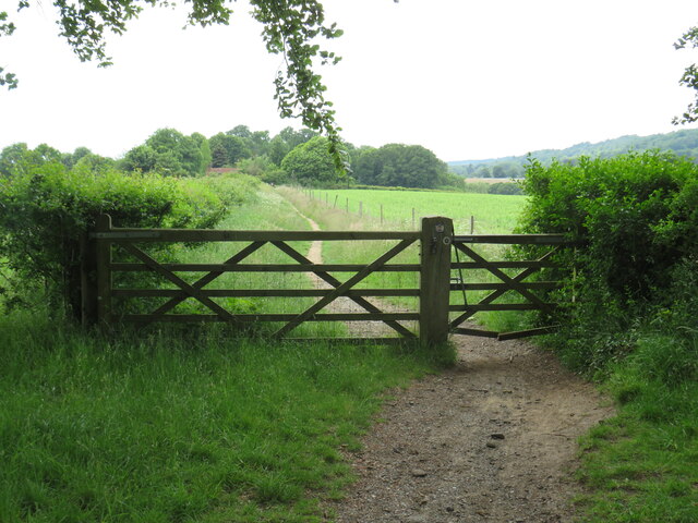
The wood is crisscrossed with a network of well-maintained footpaths and trails, allowing visitors to explore the natural beauty at their own pace. These paths wind through the trees, offering stunning views of the surrounding countryside and providing opportunities for peaceful walks or invigorating runs.
The abundance of wildlife in Abinger Roughs adds to its allure. Birdwatchers can spot a variety of species, including woodpeckers, nuthatches, and tawny owls, while those with a keen eye may catch a glimpse of deer, foxes, or even badgers. The wood is also home to a diverse range of insects, including butterflies and dragonflies, which thrive in the woodland habitat.
Abinger Roughs offers a haven of tranquility and natural beauty, making it a popular spot for both locals and visitors alike. With its idyllic woodland setting and abundant wildlife, it provides a perfect escape from the hustle and bustle of everyday life.
If you have any feedback on the listing, please let us know in the comments section below.
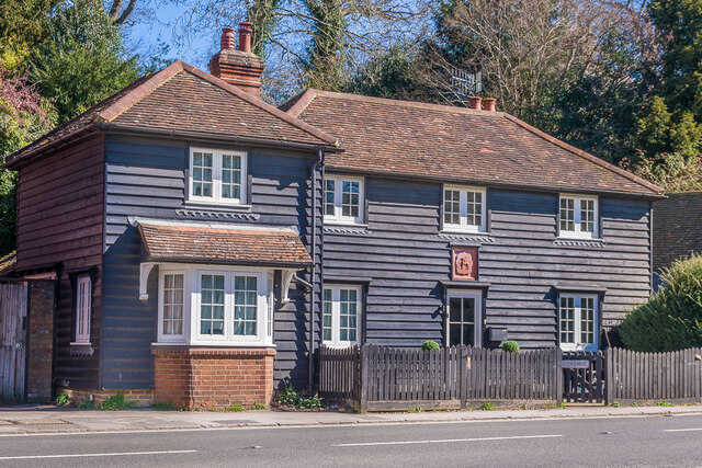
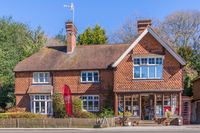
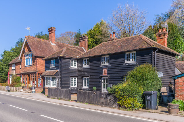
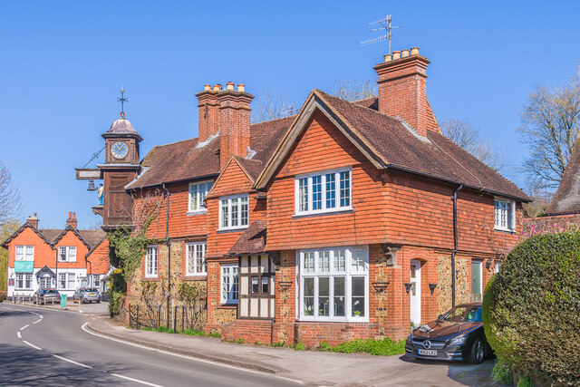
Abinger Roughs Images
Images are sourced within 2km of 51.220131/-0.41413295 or Grid Reference TQ1047. Thanks to Geograph Open Source API. All images are credited.

Abinger Roughs is located at Grid Ref: TQ1047 (Lat: 51.220131, Lng: -0.41413295)
Administrative County: Surrey
District: Mole Valley
Police Authority: Surrey
What 3 Words
///zoom.poet.dirt. Near Westcott, Surrey
Nearby Locations
Related Wikis
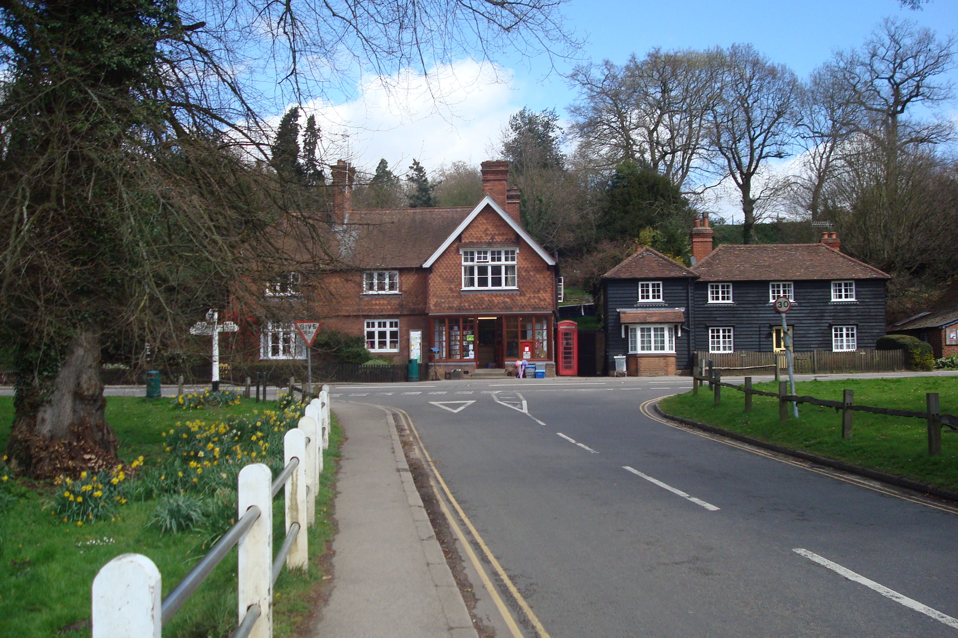
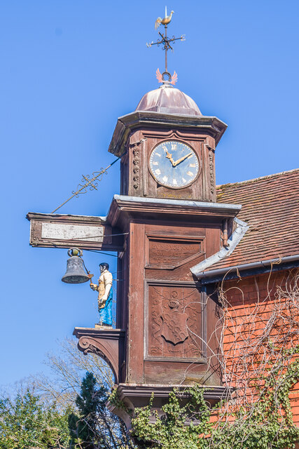
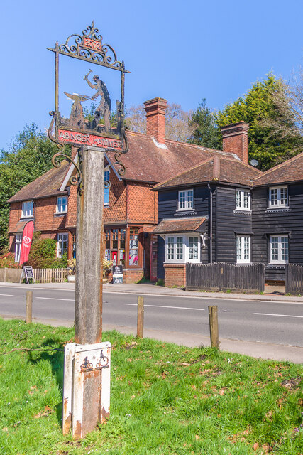
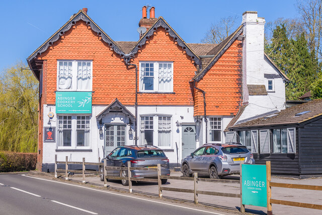
Abinger Hammer
Abinger Hammer is a village in the Vale of Holmesdale, located on the A25 in Surrey, England. The village is located within the Surrey Hills AONB, approximately...

Hackhurst and White Downs
Hackhurst and White Downs is a 185.1-hectare (457-acre) biological Site of Special Scientific Interest west of Dorking in Surrey. White Downs is a Nature...
Piney Copse
Piney Copse is 1.7 hectares (4.2 acres) of woodland located approximately 450 metres (1,480 ft) east of Gomshall railway station and north of the Surrey...
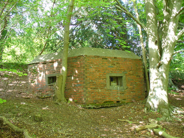
Outer London Defence Ring
The Outer London Defence Ring was a defensive ring built around London during the early part of the Second World War. It was intended as a defence against...
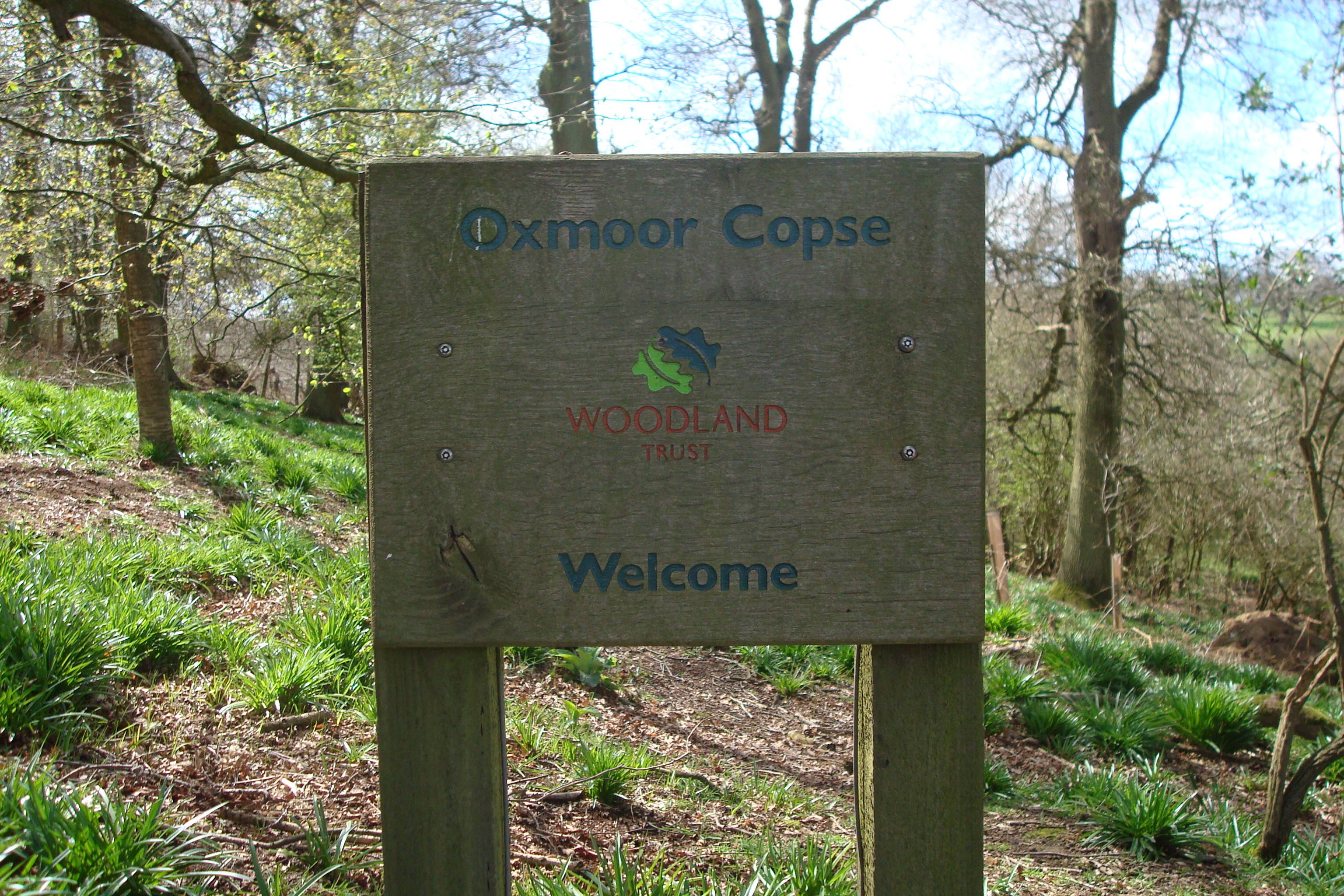
Oxmoor Copse
Oxmoor Copse is just south of the village of Abinger Hammer and to the west of the village of Abinger Common, in Surrey. It is 1.23 hectares (3.0 acres...

Wotton House, Surrey
Wotton House is a hotel, wedding venue, conference centre and former country house in Wotton near Dorking, Surrey, England. Originally the centre of the...

Wotton, Surrey
Wotton is a well-wooded parish with one main settlement, a small village mostly south of the A25 between Guildford in the west and Dorking in the east...

Gomshall railway station
Gomshall railway station serves the village of Gomshall in Surrey, England. The station, and all trains serving it, are operated by Great Western Railway...
Nearby Amenities
Located within 500m of 51.220131,-0.41413295Have you been to Abinger Roughs?
Leave your review of Abinger Roughs below (or comments, questions and feedback).