Street's Copse
Wood, Forest in Sussex Worthing
England
Street's Copse

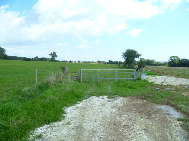
Street's Copse is a picturesque woodland located in Sussex, England. This tranquil forest covers an area of approximately 100 acres, making it an ideal destination for nature enthusiasts and those seeking a peaceful retreat.
As visitors step into Street's Copse, they are greeted by a dense canopy of trees that create a cool and inviting atmosphere. The woodland is primarily composed of native deciduous trees, including oak, beech, and ash, which provide a rich and diverse habitat for a variety of wildlife.
Walking along the well-maintained trails within the copse, visitors may catch glimpses of squirrels scurrying among the branches or hear the melodic songs of various bird species. The forest floor is carpeted with an array of wildflowers, adding splashes of color to the verdant landscape.
One of the standout features of Street's Copse is its ancient trees, some of which are believed to be over 300 years old. These majestic giants stand tall and proud, their gnarled trunks and sprawling branches serving as a testament to the copse's long history.
Street's Copse is not only a haven for natural beauty but also a site of historical significance. It is rumored that the copse served as a hiding place for local villagers during times of conflict, adding an air of mystery and intrigue to the woodland.
For those seeking respite from the hustle and bustle of everyday life, Street's Copse offers a serene and enchanting setting to connect with nature and immerse oneself in its timeless beauty.
If you have any feedback on the listing, please let us know in the comments section below.
Street's Copse Images
Images are sourced within 2km of 50.83044/-0.43805332 or Grid Reference TQ1004. Thanks to Geograph Open Source API. All images are credited.


Street's Copse is located at Grid Ref: TQ1004 (Lat: 50.83044, Lng: -0.43805332)
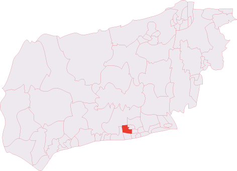
Administrative County: West Sussex
District: Worthing
Police Authority: Sussex
What 3 Words
///bumps.plank.strike. Near Goring-by-Sea, West Sussex
Nearby Locations
Related Wikis
Titnore Wood
Titnore Wood is an area of ancient woodland to the north-west of Worthing in West Sussex. With neighbouring Goring Wood it forms one of the last remaining...
Sterns Nightclub
Sterns was a nightclub located at Highdown Towers on Highdown Hill in Worthing, West Sussex. It was situated off the A259 road just north of Ferring on...

Highdown Gardens
Highdown Gardens are a unique chalk garden set in the South Downs National Park on the western edge of the town of Worthing, close to the village of Ferring...
Northbrook (electoral division)
Northbrook is an electoral division of West Sussex in the United Kingdom, and returns one member to sit on West Sussex County Council. == Extent == The...

Southern Theatre Arts Centre
The Southern Theatre Arts Centre (STAC) is a training venue for performers, technicians and production students, it is based in Durrington, West Sussex...

Highdown Hill
Highdown Hill is a hill in the South Downs, with a height of 81 metres (266 ft). The summit of the hill and its western slopes lie in the parish of Ferring...
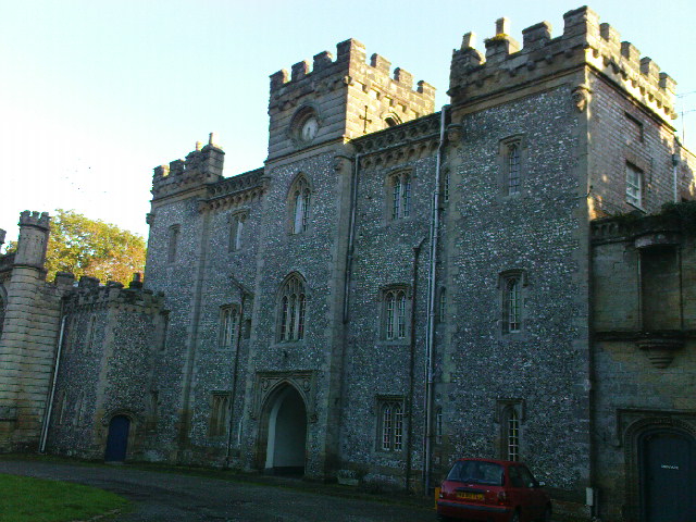
Castle Goring
Castle Goring is a Grade I listed country house in Worthing, in West Sussex, England about 4.5 miles (7 kilometres) northwest of the town centre. One of...

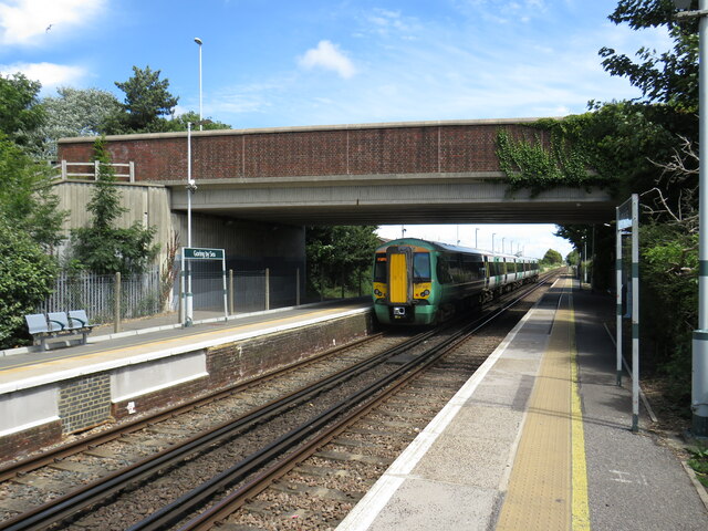
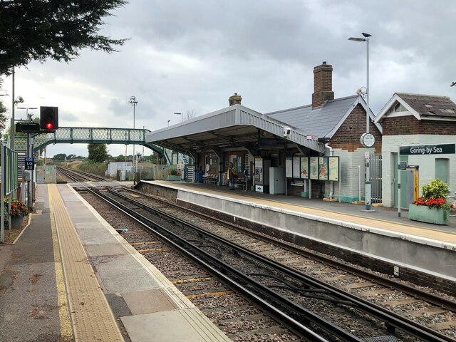
Goring-by-Sea railway station
Goring-by-Sea railway station is in Goring by Sea in the county of West Sussex. It is 13 miles 7 chains (21.1 km) down the line from Brighton. The station...
Nearby Amenities
Located within 500m of 50.83044,-0.43805332Have you been to Street's Copse?
Leave your review of Street's Copse below (or comments, questions and feedback).