Great Close Spinney
Wood, Forest in Northamptonshire
England
Great Close Spinney

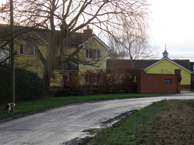
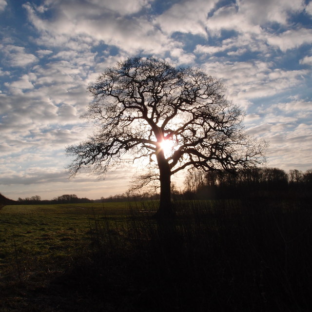
Great Close Spinney is a woodland located in the county of Northamptonshire, England. Covering an area of approximately 20 acres, it is situated near the village of Woodford, surrounded by open fields and farmland. The spinney is designated as a Site of Special Scientific Interest (SSSI) due to its significant ecological value.
The woodland is predominantly made up of deciduous trees such as oak, ash, and birch, creating a lush and diverse habitat for a variety of wildlife. The forest floor is covered with a dense layer of leaf litter, providing a fertile ground for a wide range of plant species, including bluebells, wood anemones, and wild garlic. These plants attract numerous insects and small mammals, forming the base of the local food chain.
The spinney is home to a plethora of bird species, including great spotted woodpeckers, tawny owls, and various warblers. These birds can be heard singing their melodious tunes throughout the year, adding to the serene ambiance of the woodland. Additionally, the trees provide nesting sites for several species of bats, making it an important roosting area.
Great Close Spinney offers a tranquil escape for nature enthusiasts and walkers alike. There are several footpaths and trails that crisscross the woodland, allowing visitors to explore its beauty at their own pace. The peaceful atmosphere, combined with the rich biodiversity, makes it an ideal location for birdwatching, photography, or simply enjoying a leisurely stroll in nature.
Overall, Great Close Spinney is a captivating woodland, offering a haven for wildlife and a serene retreat for those seeking solace in nature.
If you have any feedback on the listing, please let us know in the comments section below.
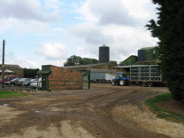
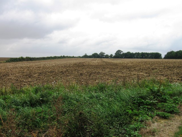
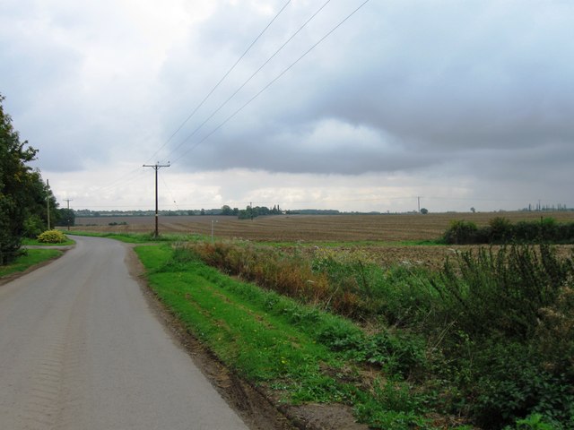
Great Close Spinney Images
Images are sourced within 2km of 52.438733/-0.38179309 or Grid Reference TL1083. Thanks to Geograph Open Source API. All images are credited.


Great Close Spinney is located at Grid Ref: TL1083 (Lat: 52.438733, Lng: -0.38179309)
Unitary Authority: North Northamptonshire
Police Authority: Northamptonshire
What 3 Words
///sting.holiday.enclosing. Near Sawtry, Cambridgeshire
Related Wikis

Luddington-in-the-Brook
Luddington-in-the-Brook or Luddington in the Brook is a village in North Northamptonshire, England. The name of its civil parish is Luddington. Owing to...

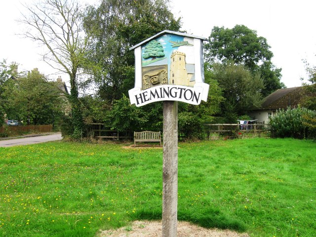
Hemington, Northamptonshire
Hemington is a village and civil parish in North Northamptonshire, England. The parish population (including the neighbouring small parishes of Luddington...

Great Gidding
Great Gidding is a village and civil parish in the Huntingdonshire district of Cambridgeshire, England.Great Gidding lies approximately 10 miles (16 km...

Thurning, Northamptonshire
Thurning is a village and civil parish in the English county of Northamptonshire. Located in the north-east of the county, about 5.5 miles south-east of...

Winwick, Cambridgeshire
Winwick is a village and civil parish in Cambridgeshire, England. Winwick lies approximately 10 miles (16 km) north-west of Huntingdon. It is a crossroads...
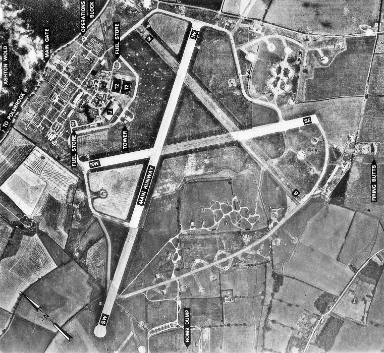
RAF Polebrook
Royal Air Force Polebrook or more simply RAF Polebrook is a former Royal Air Force station located 3.5 miles (5.6 km) east-south-east of Oundle, at Polebrook...

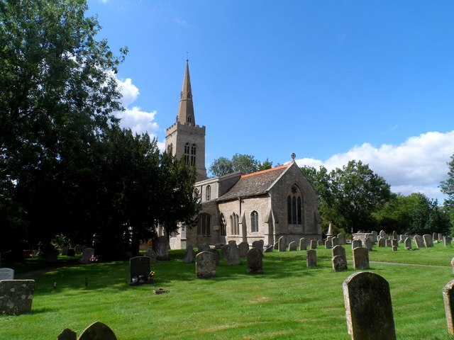
St Andrew's Church, Steeple Gidding
St Andrew's Church is a redundant Anglican church in the hamlet of Steeple Gidding, about 10 miles (16 km) northwest of Huntingdon, Cambridgeshire, England...

Little Gidding
Little Gidding is a small village and civil parish in Cambridgeshire, England. It lies approximately 9 miles (14 km) northwest of Huntingdon, near Sawtry...
Nearby Amenities
Located within 500m of 52.438733,-0.38179309Have you been to Great Close Spinney?
Leave your review of Great Close Spinney below (or comments, questions and feedback).