Great Hall Spinney
Wood, Forest in Northamptonshire
England
Great Hall Spinney

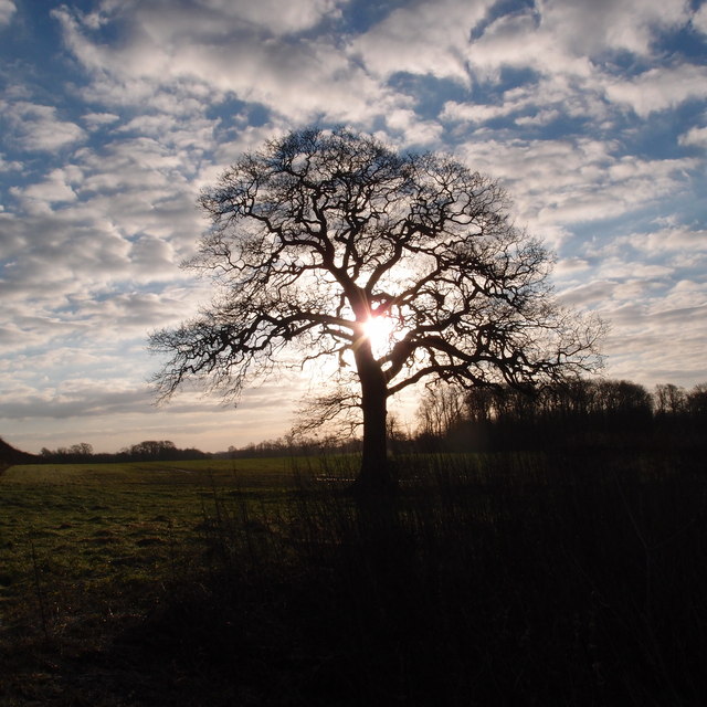
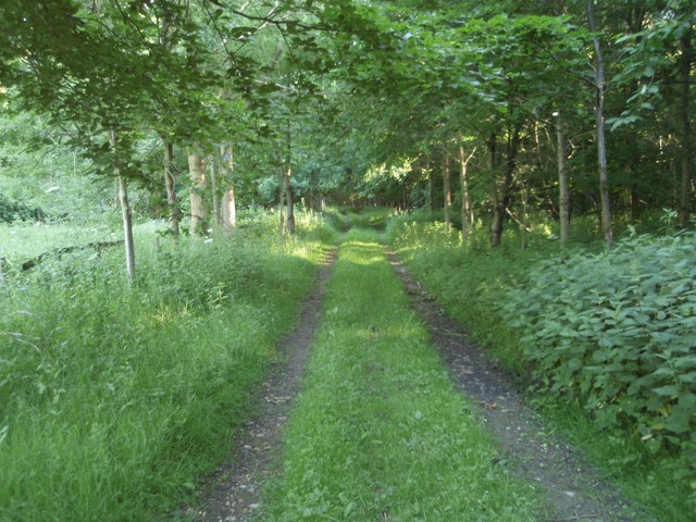
Great Hall Spinney is a beautiful woodland located in Northamptonshire, England. Situated in the heart of the county, it forms part of the larger Great Hall estate and covers an area of approximately 50 acres. The woodland is known for its dense, ancient trees and diverse wildlife, making it a popular destination for nature enthusiasts and hikers alike.
The forest is predominantly composed of oak, ash, and beech trees, providing a lush canopy that creates a tranquil and serene atmosphere. The woodland floor is covered in a thick carpet of ferns, moss, and wildflowers, adding to its natural charm. Throughout the year, visitors can enjoy a stunning display of seasonal colors, from vibrant greens in the spring and summer to golden hues in the autumn.
Great Hall Spinney is home to a variety of wildlife species, making it a haven for animal lovers and bird watchers. Roe deer, foxes, and badgers can often be spotted roaming through the forest, while a plethora of bird species, including woodpeckers, owls, and buzzards, can be heard and seen high in the treetops. The woodland also supports a rich diversity of insects, butterflies, and small mammals, creating a thriving ecosystem.
Visitors to Great Hall Spinney can explore the woodland through a network of well-maintained footpaths, allowing them to immerse themselves in the natural beauty of the area. The peaceful ambiance and stunning scenery make it an ideal location for picnics, photography, and quiet contemplation.
If you have any feedback on the listing, please let us know in the comments section below.
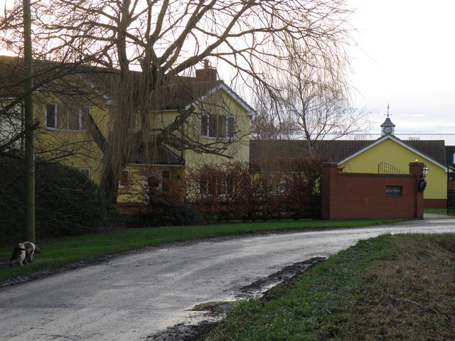
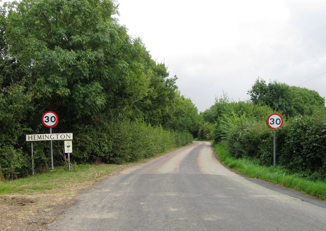
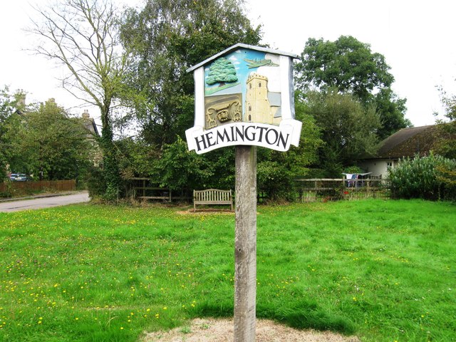
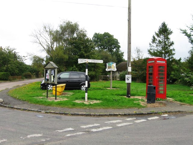
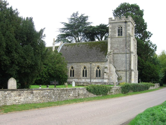
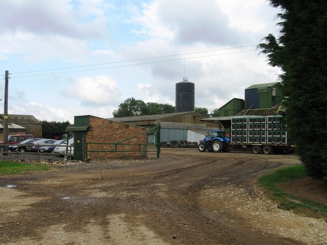
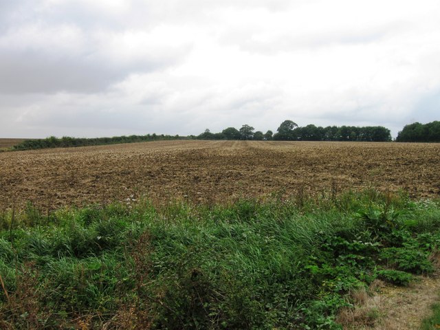
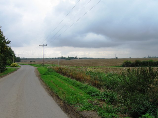
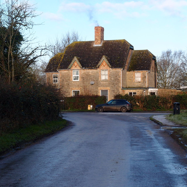
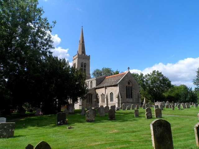
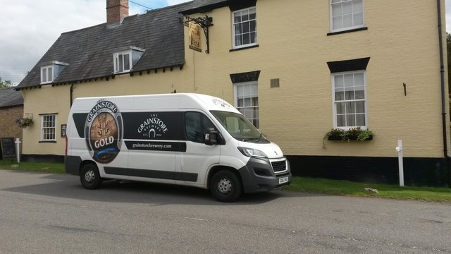
Great Hall Spinney Images
Images are sourced within 2km of 52.440465/-0.38084692 or Grid Reference TL1083. Thanks to Geograph Open Source API. All images are credited.


Great Hall Spinney is located at Grid Ref: TL1083 (Lat: 52.440465, Lng: -0.38084692)
Unitary Authority: North Northamptonshire
Police Authority: Northamptonshire
What 3 Words
///skid.fuels.trumpet. Near Sawtry, Cambridgeshire
Related Wikis

Luddington-in-the-Brook
Luddington-in-the-Brook or Luddington in the Brook is a village in North Northamptonshire, England. The name of its civil parish is Luddington. Owing to...

Hemington, Northamptonshire
Hemington is a village and civil parish in North Northamptonshire, England. The parish population (including the neighbouring small parishes of Luddington...

Great Gidding
Great Gidding is a village and civil parish in the Huntingdonshire district of Cambridgeshire, England.Great Gidding lies approximately 10 miles (16 km...

Thurning, Northamptonshire
Thurning is a village and civil parish in the English county of Northamptonshire. Located in the north-east of the county, about 5.5 miles south-east of...
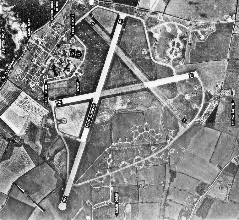
RAF Polebrook
Royal Air Force Polebrook or more simply RAF Polebrook is a former Royal Air Force station located 3.5 miles (5.6 km) east-south-east of Oundle, at Polebrook...

Winwick, Cambridgeshire
Winwick is a village and civil parish in Cambridgeshire, England. Winwick lies approximately 10 miles (16 km) north-west of Huntingdon. It is a crossroads...

St Andrew's Church, Steeple Gidding
St Andrew's Church is a redundant Anglican church in the hamlet of Steeple Gidding, about 10 miles (16 km) northwest of Huntingdon, Cambridgeshire, England...
Ashton Wold
Ashton Wold is a 54.0-hectare (133-acre) biological Site of Special Scientific Interest (SSSI) east of the market town Oundle in Northamptonshire.It is...
Nearby Amenities
Located within 500m of 52.440465,-0.38084692Have you been to Great Hall Spinney?
Leave your review of Great Hall Spinney below (or comments, questions and feedback).