Northbrook Pond
Lake, Pool, Pond, Freshwater Marsh in Sussex Worthing
England
Northbrook Pond

Northbrook Pond, located in Sussex, is a serene and picturesque body of water that serves as a natural haven for various aquatic species. Spanning across a modest area, it can be classified as a lake, pool, pond, and freshwater marsh, owing to its diverse characteristics.
The pond's water is predominantly supplied by freshwater streams flowing from nearby hills and mountains, ensuring a constant source of clean and pure water. The water's clarity is exceptional, allowing visibility of the pond's bottom and the life thriving within it. The pond's surface is often adorned with vibrant water lilies and other aquatic plants, creating a visually striking landscape.
Northbrook Pond is home to a rich biodiversity, with an array of fish species populating its waters. Anglers frequent the pond to catch trout, perch, and carp, among other species. The pond also attracts a variety of waterfowl, including ducks and geese, which can be observed gracefully gliding across its calm surface.
Surrounding the pond is a lush and vibrant ecosystem, comprising wetland vegetation and reed beds. These serve as vital habitats for numerous species of birds, amphibians, and insects. The melodious songs of warblers and the croaking of frogs can often be heard emanating from this freshwater marsh.
The pond offers a tranquil environment for visitors to enjoy leisure activities such as picnicking, birdwatching, and nature walks. Its serene ambiance and beautiful surroundings make it an idyllic spot for relaxation and contemplation. Northbrook Pond is a hidden gem within Sussex, providing both recreational opportunities and a sanctuary for various forms of aquatic life.
If you have any feedback on the listing, please let us know in the comments section below.
Northbrook Pond Images
Images are sourced within 2km of 50.826535/-0.43058717 or Grid Reference TQ1004. Thanks to Geograph Open Source API. All images are credited.


Northbrook Pond is located at Grid Ref: TQ1004 (Lat: 50.826535, Lng: -0.43058717)
Administrative County: West Sussex
District: Worthing
Police Authority: Sussex
What 3 Words
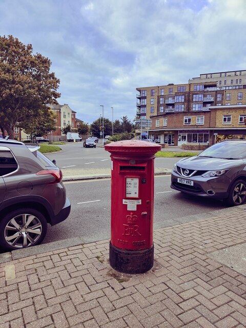
///exam.will.stared. Near Goring-by-Sea, West Sussex
Nearby Locations
Related Wikis

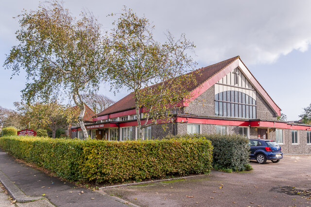
Southern Theatre Arts Centre
The Southern Theatre Arts Centre (STAC) is a training venue for performers, technicians and production students, it is based in Durrington, West Sussex...
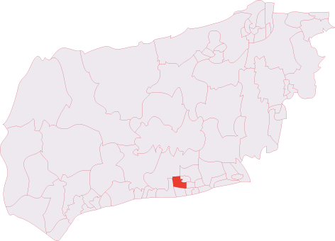
Northbrook (electoral division)
Northbrook is an electoral division of West Sussex in the United Kingdom, and returns one member to sit on West Sussex County Council. == Extent == The...
Sterns Nightclub
Sterns was a nightclub located at Highdown Towers on Highdown Hill in Worthing, West Sussex. It was situated off the A259 road just north of Ferring on...

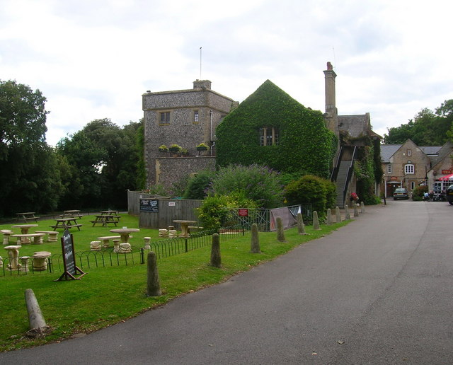
Highdown Gardens
Highdown Gardens are a unique chalk garden set in the South Downs National Park on the western edge of the town of Worthing, close to the village of Ferring...

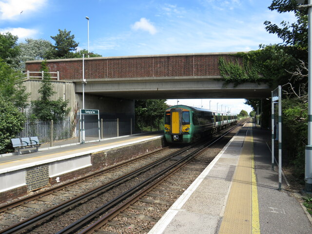
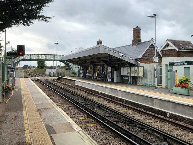
Goring-by-Sea railway station
Goring-by-Sea railway station is in Goring by Sea in the county of West Sussex. It is 13 miles 7 chains (21.1 km) down the line from Brighton. The station...
RAF Durrington
RAF Durrington was a World War II ground-controlled interception (GCI) radar station in Durrington, West Sussex, a neighbourhood in Worthing in the United...
Palatine School
Palatine School (formerly George Pringle School or Selden County Junior Mixed and Infant School) is a primary school in Worthing, West Sussex for those...
St Oscar Romero Catholic School
St Oscar Romero Catholic School (formerly Chatsmore Catholic High School; formerly Blessed Robert Southwell High School) is a coeducational Roman Catholic...
Nearby Amenities
Located within 500m of 50.826535,-0.43058717Have you been to Northbrook Pond?
Leave your review of Northbrook Pond below (or comments, questions and feedback).