West Chiltington Common

Wood, Forest in Sussex Horsham

England

West Chiltington Common

Vines as far as you can see The extensive vines at Nyetimber Vineyard with the distant backdrop of the South Downs.
Vines as far as you can see Credit: Chris Thomas-Atkin

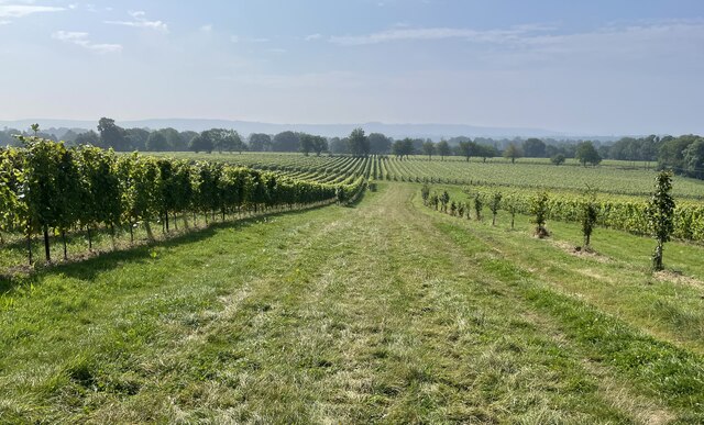
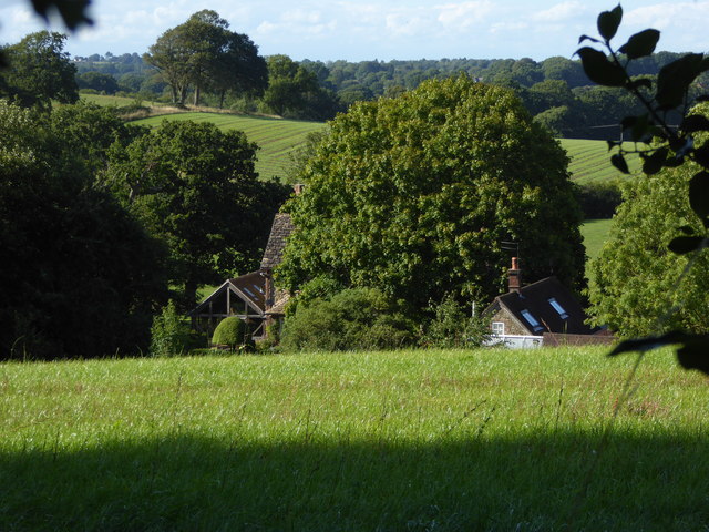
West Chiltington Common is a picturesque woodland area located in the county of Sussex, England. Covering an expansive area of approximately 100 hectares, the common is nestled within the South Downs National Park, offering visitors a serene and tranquil escape into nature.

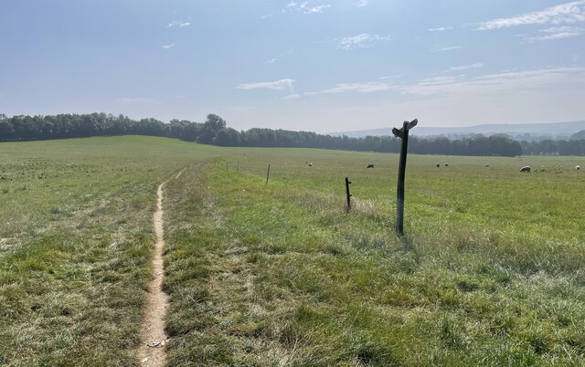
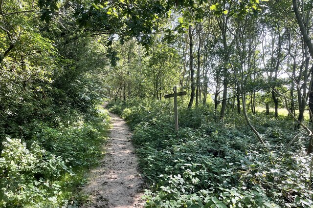
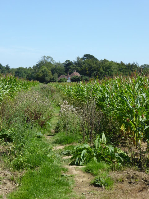
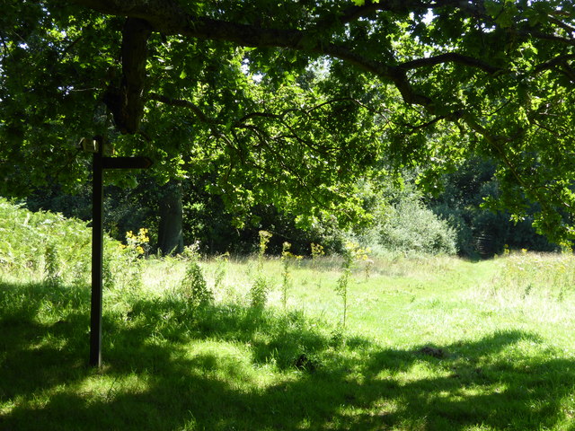
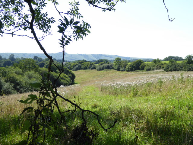
The common is characterized by its dense, ancient woodland, which is primarily composed of oak and birch trees, creating a lush and vibrant canopy. The trees are interspersed with patches of open grassland, providing a diverse habitat for a variety of flora and fauna.

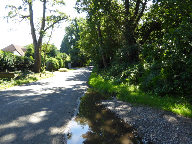
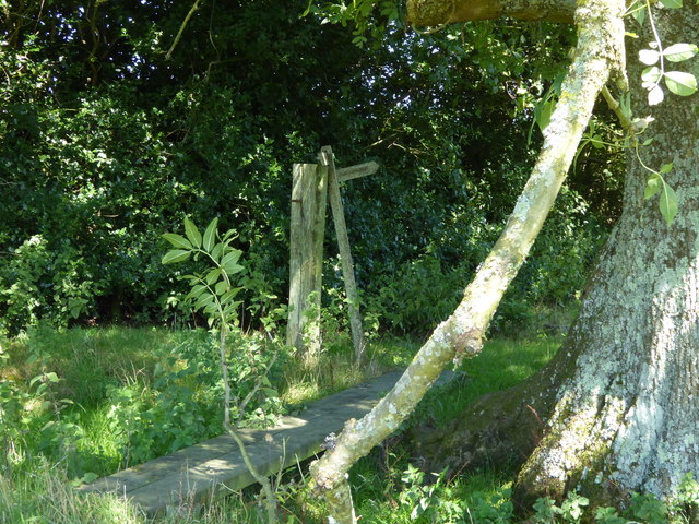
Walking trails wind their way through the common, allowing visitors to explore its natural beauty at their own pace. These paths lead to hidden clearings, babbling brooks, and enchanting ponds, adding to the allure of the surroundings.

West Chiltington Common is home to a rich array of wildlife, making it a haven for nature enthusiasts. Birdwatchers can spot a multitude of species, including woodpeckers, tawny owls, and various songbirds. Additionally, the common is inhabited by deer, foxes, and badgers, adding to the sense of wilderness.

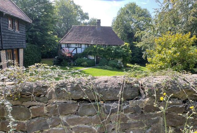
The common is also steeped in history, with evidence of human activity dating back thousands of years. Archaeological finds, such as flint tools and burial mounds, have been discovered, highlighting the area's importance throughout the ages.

Overall, West Chiltington Common is a captivating woodland oasis, offering a perfect blend of natural beauty, wildlife, and historical significance. Whether it's for a leisurely stroll, birdwatching, or simply finding solace in nature, the common provides a truly captivating experience for all who visit.

If you have any feedback on the listing, please let us know in the comments section below.

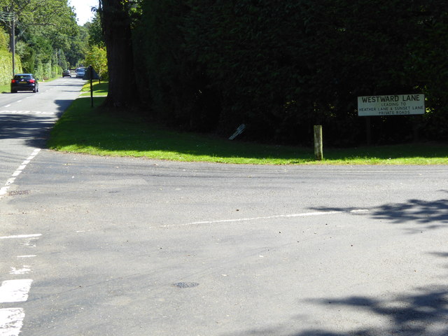
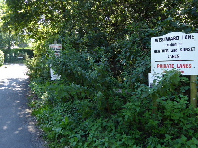
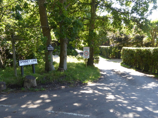
West Chiltington Common Images

Images are sourced within 2km of 50.941933/-0.44391419 or Grid Reference TQ0916. Thanks to Geograph Open Source API. All images are credited.

Vines as far as you can see The extensive vines at Nyetimber Vineyard with the distant backdrop of the South Downs.
Vines as far as you can see
The extensive vines at Nyetimber Vineyard with the distant backdrop of the South Downs.
West Chiltington Looking south towards the Parish Church of St Mary.
West Chiltington
Looking south towards the Parish Church of St Mary.
Naldretts Farmhouse The farmhouse viewed from roadside. It is a Grade II listed building. See <span class="nowrap"><a title="https://historicengland.org.uk/listing/the-list/list-entry/1027174" rel="nofollow ugc noopener" href="https://historicengland.org.uk/listing/the-list/list-entry/1027174">Link</a><img style="margin-left:2px;" alt="External link" title="External link - shift click to open in new window" src="https://s1.geograph.org.uk/img/external.png" width="10" height="10"/></span>
Naldretts Farmhouse
The farmhouse viewed from roadside. It is a Grade II listed building. See LinkExternal link
Path Junction On bridleway number 2404 heading towards Thakeham with footpath number 2403 joining from the left.
Path Junction
On bridleway number 2404 heading towards Thakeham with footpath number 2403 joining from the left.
Bare trees, blue sky and clouds
Path Junction Paths in woodland near Town House Farm.
Path Junction
Paths in woodland near Town House Farm.
The Parish Church of St Mary The church is a Grade I listed building. See <span class="nowrap"><a title="https://historicengland.org.uk/listing/the-list/list-entry/1354080" rel="nofollow ugc noopener" href="https://historicengland.org.uk/listing/the-list/list-entry/1354080">Link</a><img style="margin-left:2px;" alt="External link" title="External link - shift click to open in new window" src="https://s1.geograph.org.uk/img/external.png" width="10" height="10"/></span>
At the time the photo was taken building work to provide an extension was in progress.
The Parish Church of St Mary
The church is a Grade I listed building. See LinkExternal link At the time the photo was taken building work to provide an extension was in progress.
Thakeham Place Cottage The cottage at Thakeham Place viewed from the passing public footpath number 2481.
Thakeham Place Cottage
The cottage at Thakeham Place viewed from the passing public footpath number 2481.
Looking south on Monkmead Lane from bridleway junction
Bridleway goes south west from Monkmead Lane
Looking eastwards on Monkmead Lane from Westward Lane
Westward Lane
Westward Lane
The northern end of Spinney Lane
Hareswith House seen from footpath to the west
Footpath junction beneath oak tree This is between West Chiltington Common and Storrington.
Footpath junction beneath oak tree
This is between West Chiltington Common and Storrington.
Boardwalk on footpath by field edge This made a handy lunch spot with a good view.  See <a href="https://www.geograph.org.uk/photo/4626468">TQ0815 : Marvellous view of the West Sussex Downs</a>.
Boardwalk on footpath by field edge
This made a handy lunch spot with a good view. See TQ0815 : Marvellous view of the West Sussex Downs.
Marvellous view of the West Sussex Downs This was taken from my picnic spot. The Downs ridge is about two and a half miles away.
Marvellous view of the West Sussex Downs
This was taken from my picnic spot. The Downs ridge is about two and a half miles away.
Champions Farm seen from footpath to the south
Show me another place!

West Chiltington Common is located at Grid Ref: TQ0916 (Lat: 50.941933, Lng: -0.44391419)

Administrative County: West Sussex

District: Horsham

Police Authority: Sussex

What 3 Words

///segmented.valve.thudding. Near Storrington, West Sussex

Related Wikis

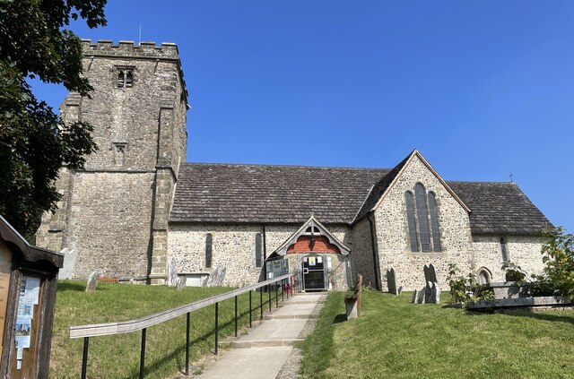
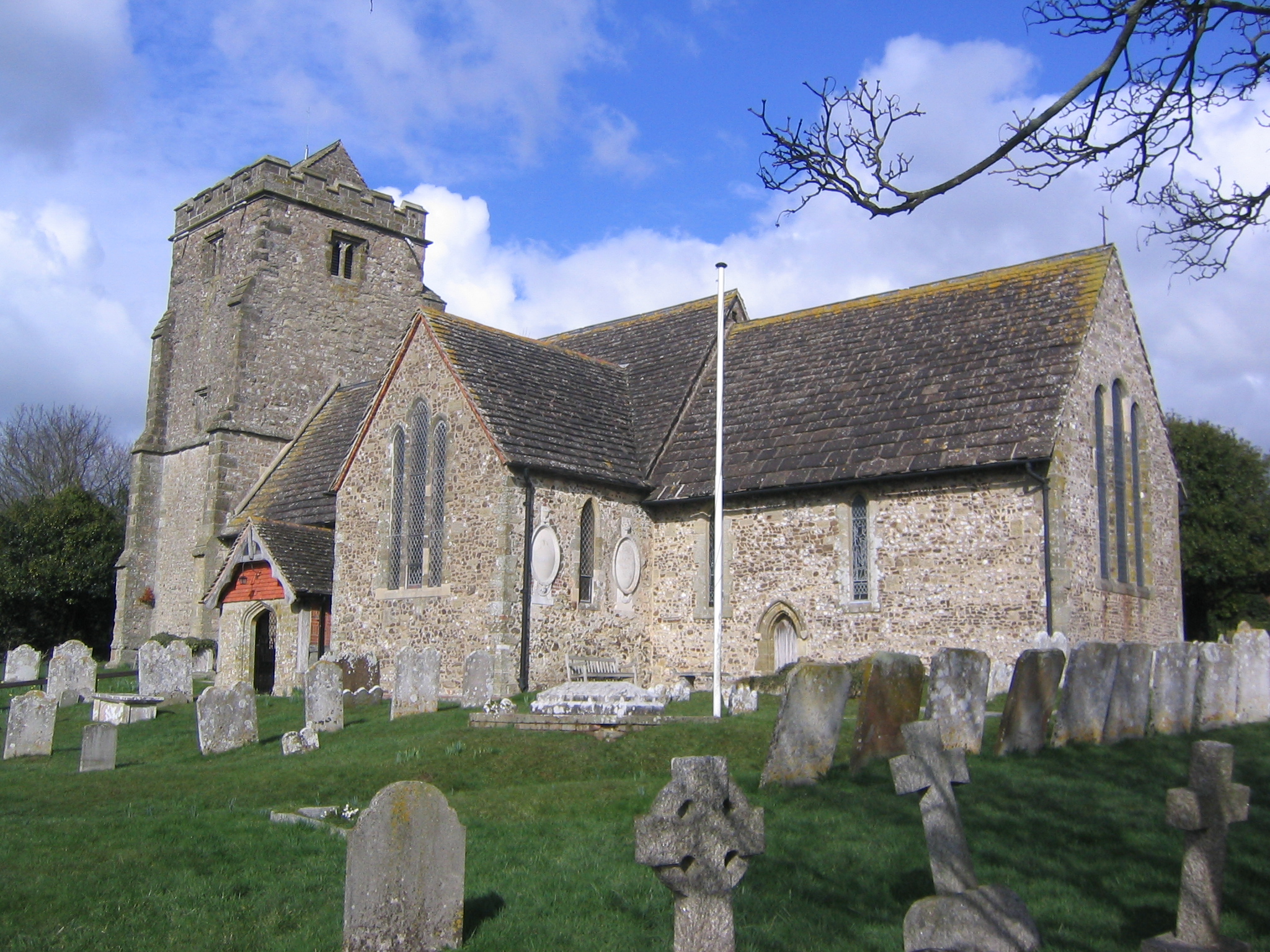
St Mary's Church, West Chiltington

St Mary's Church is the Grade I listed Anglican parish church of West Chiltington, a village in the Horsham district of West Sussex, England. The 12th...

Meeten's Mill, West Chiltington

Meeten's Mill is a grade II listed smock mill at West Chiltington, Sussex, England, which has been converted to residential use. == History == Meeten's...

Henry Bowreman Foote

Major General Henry Robert Bowreman Foote, (5 December 1904 – 11 November 1993) was a British Army officer and a recipient of the Victoria Cross, the...

Geoffrey Woolley

Geoffrey Harold Woolley, (14 May 1892 – 10 December 1968) was a British Army infantry officer, Church of England priest, and Second World War military...

Thakeham

Thakeham is a village and civil parish located north of the South Downs in the Horsham District of West Sussex, England. The village is situated approximately...
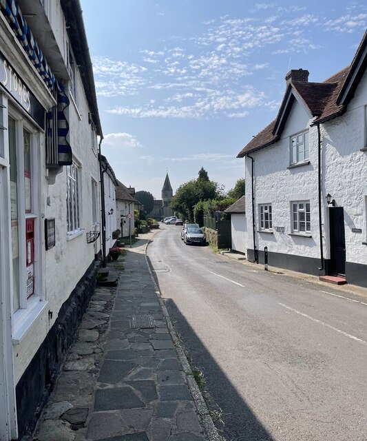
West Chiltington

West Chiltington is a village and civil parish in the Horsham district of West Sussex, England. It lies on the Storrington to Broadford Bridge road, 2...

Arundel and South Downs (UK Parliament constituency)

Arundel and South Downs () is a constituency in West Sussex created in 1997 and represented in the House of Commons of the UK Parliament since 2019 by...
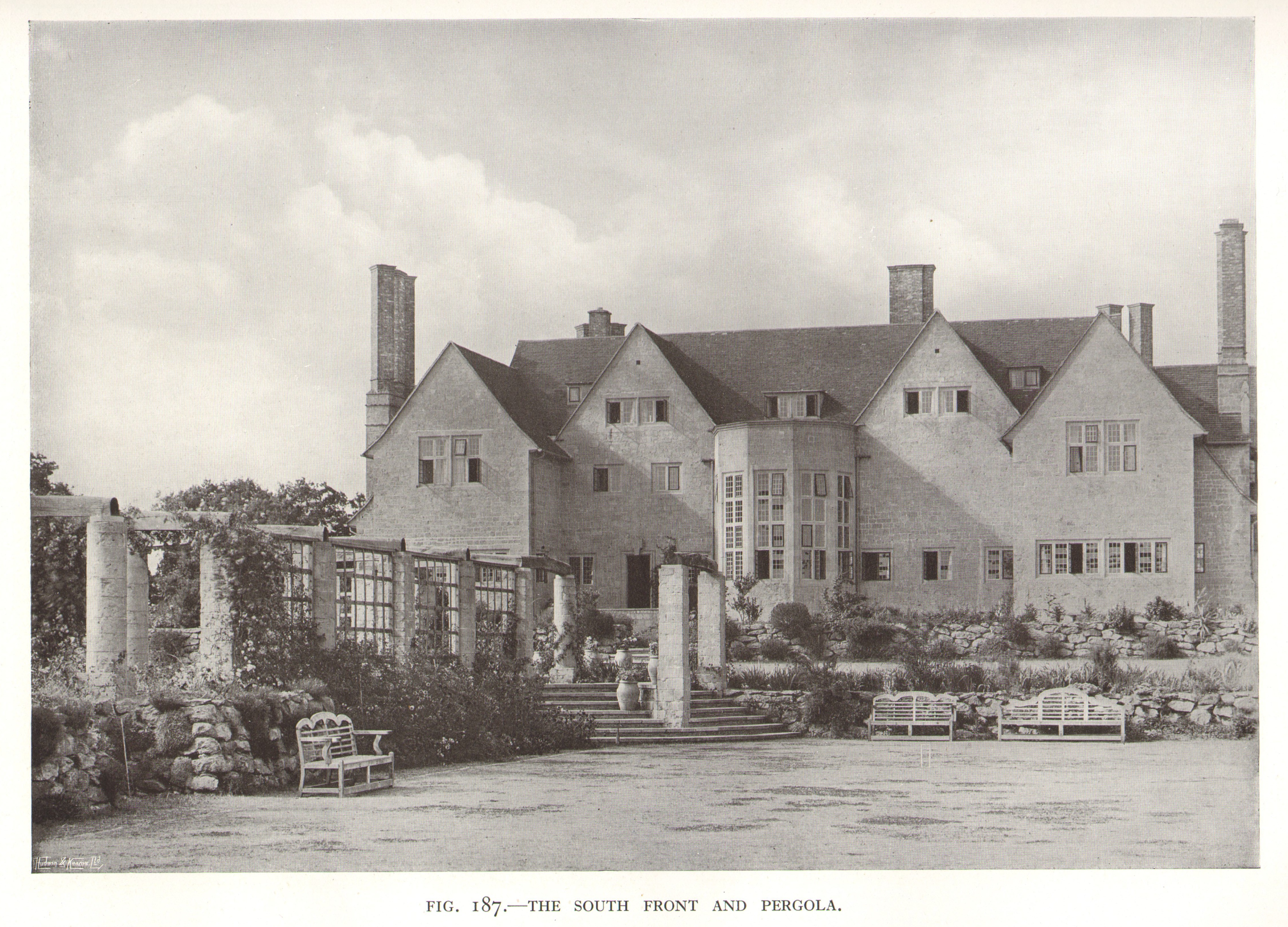
Little Thakeham

Little Thakeham is an Arts and Crafts style, Grade I listed private house in the parish of Thakeham, near the village of Storrington, in the Horsham district...

Nearby Amenities

Located within 500m of 50.941933,-0.44391419
Generator Method: photovoltaic
Generator Output Electricity: yes
Generator Source: solar
Generator Type: solar_photovoltaic_panel
Location: roof
Power: generator
Lat/Long: 50.9415846/-0.4503188
Addr Housename: Threal's Farm Cottages
Lat/Long: 50.9376583/-0.4461244
Smock Alley
Place: hamlet
Lat/Long: 50.9428444/-0.4474428
Man Made: mast
Tower Type: communication
Lat/Long: 50.941728/-0.4462865
Post Box
Lat/Long: 50.9415828/-0.4481351
The data included in this document is from www.openstreetmap.org. The data is made available under ODbL.

Have you been to West Chiltington Common?

Leave your review of West Chiltington Common below (or comments, questions and feedback).