Smock Alley

Settlement in Sussex Horsham

England

Smock Alley

Junction of North Street and High Street
Junction of North Street and High Street Credit: Ian Cunliffe

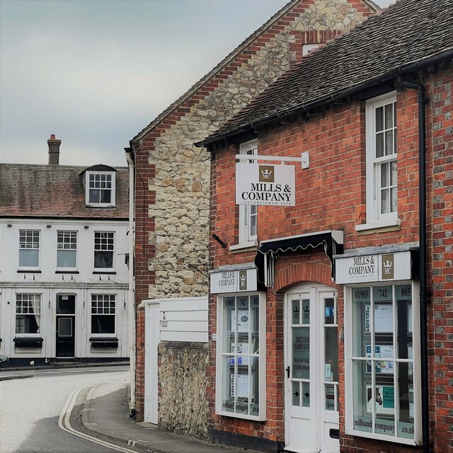
Smock Alley is a small village located in Sussex, a county in the southern part of England. Situated amidst picturesque countryside, the village offers a peaceful and idyllic setting for its residents and visitors alike. With a population of around 500, it is a close-knit community that prides itself on its rich history and natural beauty.

One of the notable attractions in Smock Alley is its historic smock mill, after which the village is named. Built in the 18th century, this traditional windmill stands tall and serves as a prominent landmark. Although it is no longer operational, it remains a fascinating reminder of the area's agricultural past.

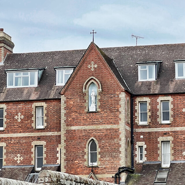
The village is also home to a charming parish church, St. Mary's, which dates back to the medieval era. This beautifully preserved church showcases stunning architecture and houses several interesting relics and artworks.

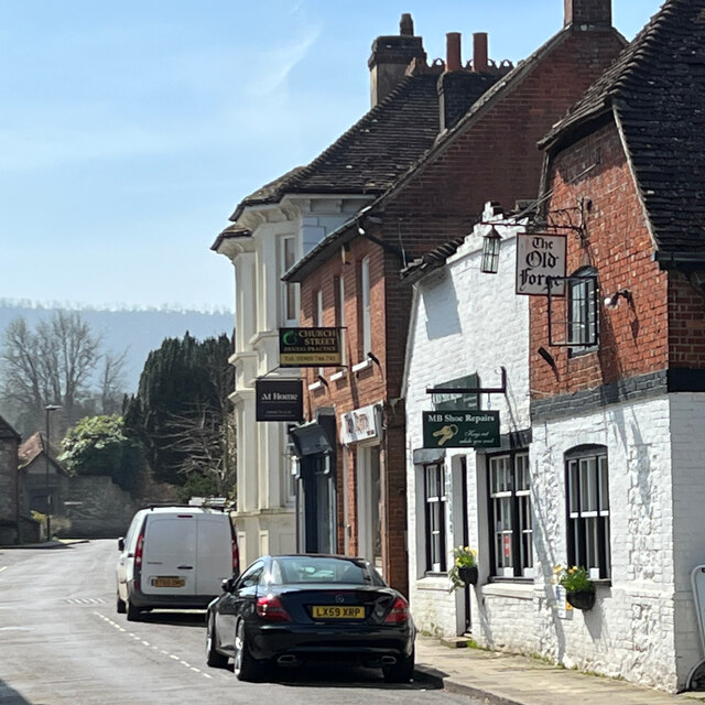
In terms of amenities, Smock Alley boasts a cozy pub, The Windmill Inn, where locals and visitors can enjoy a traditional English pint and sample hearty pub food. Additionally, there is a small convenience store that caters to the daily needs of the community.

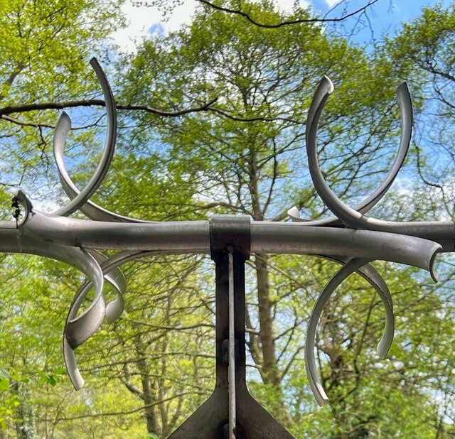
Surrounded by rolling hills and lush green fields, Smock Alley offers ample opportunities for outdoor activities such as hiking, cycling, and picnicking. The village is also well-connected to neighboring towns and cities, making it an ideal base for exploring the wider Sussex region.

Overall, Smock Alley is a hidden gem that exudes charm and tranquility, making it an appealing destination for those seeking a peaceful retreat in the heart of the English countryside.

If you have any feedback on the listing, please let us know in the comments section below.
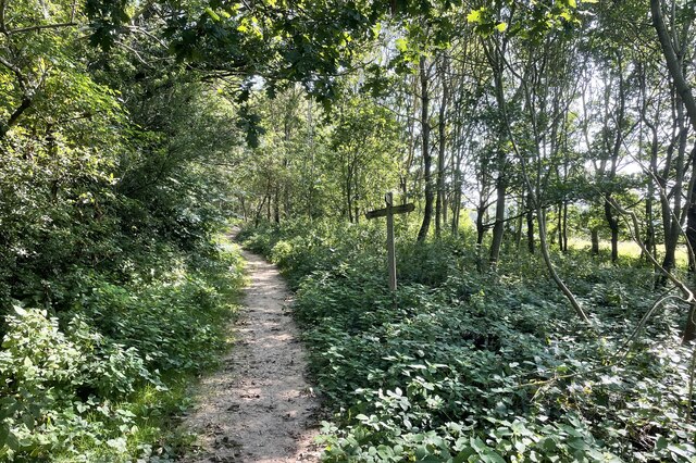
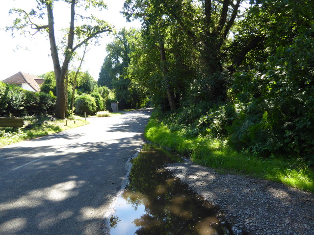
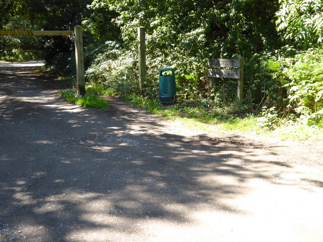
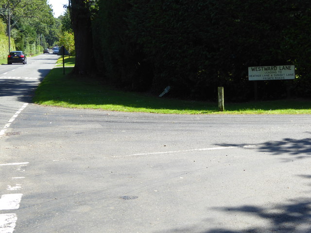
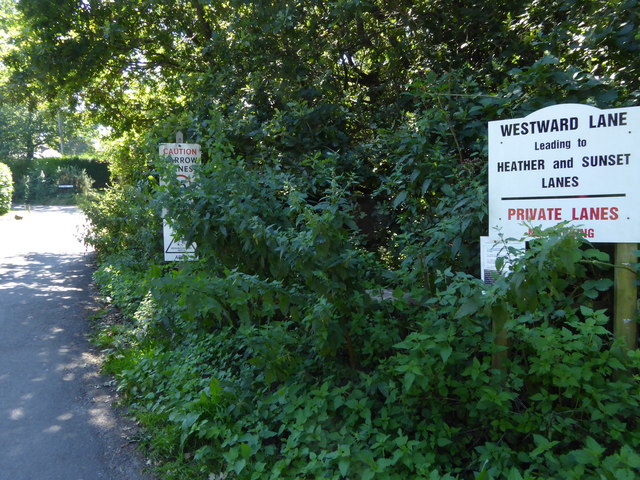
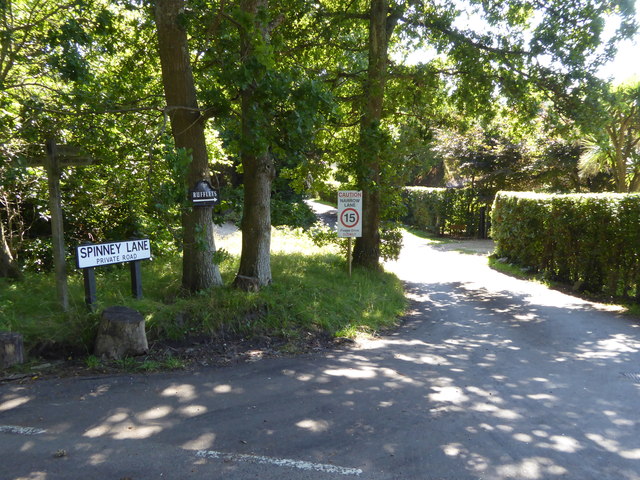
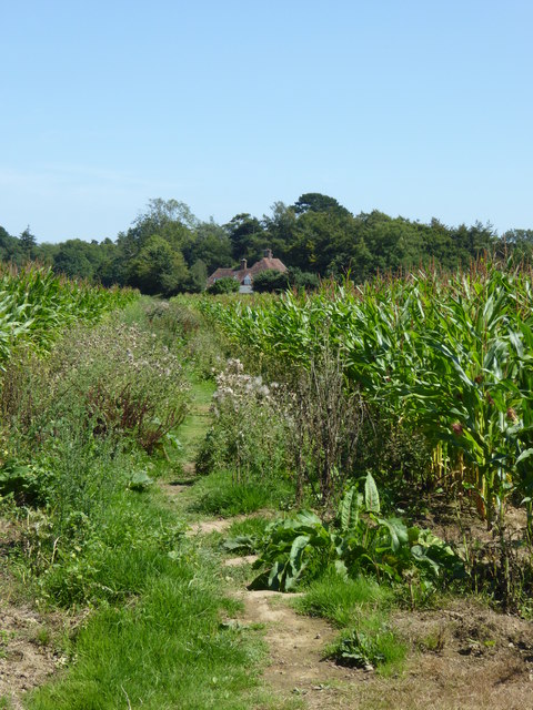
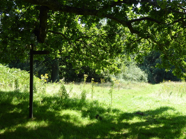
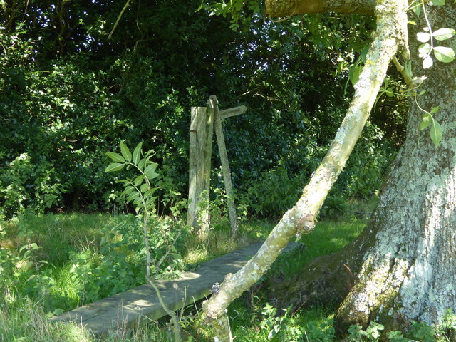
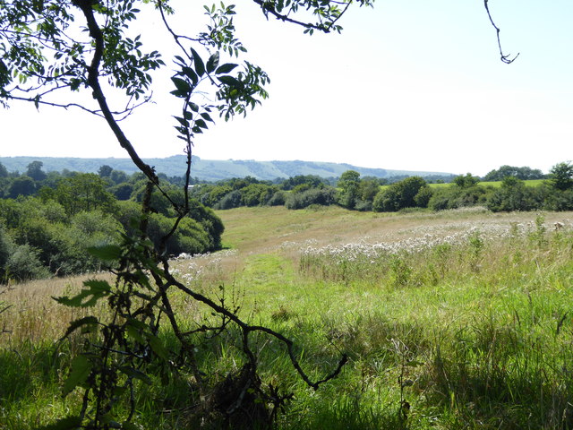
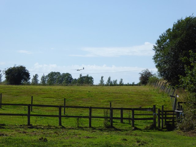
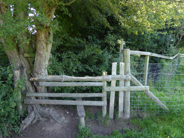
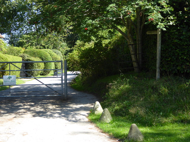
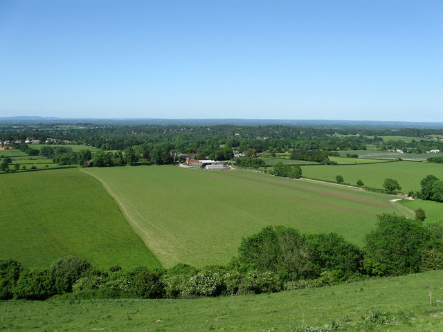
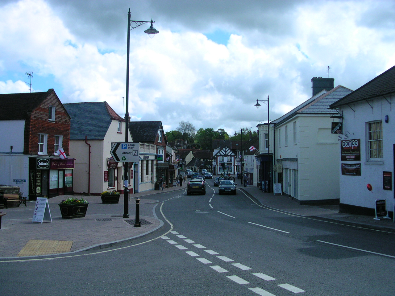
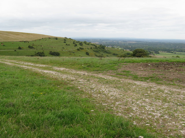
Smock Alley Images

Images are sourced within 2km of 50.933159/-0.4502269 or Grid Reference TQ0916. Thanks to Geograph Open Source API. All images are credited.

Junction of North Street and High Street
Our Lady of England Priory This part of the building is labelled "monastery" on the map. Behind it is the church.
Our Lady of England Priory
This part of the building is labelled "monastery" on the map. Behind it is the church.
Bare trees, blue sky and clouds
Buildings on Church Street
Spikes on a pipe over the stream These are presumably to stop children climbing over the pipe - except that children don't do that sort of thing these days!
Spikes on a pipe over the stream
These are presumably to stop children climbing over the pipe - except that children don't do that sort of thing these days!
Path Junction Paths in woodland near Town House Farm.
Path Junction
Paths in woodland near Town House Farm.
Looking south on Monkmead Lane from bridleway junction
Bridleway goes south west from Monkmead Lane
Looking eastwards on Monkmead Lane from Westward Lane
Westward Lane
Westward Lane
The northern end of Spinney Lane
Hareswith House seen from footpath to the west
Footpath junction beneath oak tree This is between West Chiltington Common and Storrington.
Footpath junction beneath oak tree
This is between West Chiltington Common and Storrington.
Boardwalk on footpath by field edge This made a handy lunch spot with a good view.  See <a href="https://www.geograph.org.uk/photo/4626468">TQ0815 : Marvellous view of the West Sussex Downs</a>.
Boardwalk on footpath by field edge
This made a handy lunch spot with a good view. See TQ0815 : Marvellous view of the West Sussex Downs.
Marvellous view of the West Sussex Downs This was taken from my picnic spot. The Downs ridge is about two and a half miles away.
Marvellous view of the West Sussex Downs
This was taken from my picnic spot. The Downs ridge is about two and a half miles away.
Glider on approach to Parham Airfield
Stile on footpath making for Hurston Lane The stile has been improved since <a title="https://www.geograph.org.uk/photo/3573481" href="https://www.geograph.org.uk/photo/3573481">Link</a>.
Stile on footpath making for Hurston Lane
The stile has been improved since Link.
Footpath goes east off Hurston Lane
Show me another place!

Smock Alley is located at Grid Ref: TQ0916 (Lat: 50.933159, Lng: -0.4502269)

Administrative County: West Sussex

District: Horsham

Police Authority: Sussex

What 3 Words

///divided.dose.burglars. Near Storrington, West Sussex

Related Wikis

Arundel and South Downs (UK Parliament constituency)

Arundel and South Downs () is a constituency in West Sussex created in 1997 and represented in the House of Commons of the UK Parliament since 2019 by...

Rydon Community College

Rydon Community College was a maintained comprehensive middle-deemed-secondary school for pupils aged 10 to 13. The school was located just outside Storrington...

Storrington F.C.

Storrington Football Club is a football club based in Storrington, near Horsham, West Sussex, England. Storrington FCwere 1st formed in 1882, where they...

Sullington Warren

Sullington Warren is a 24.7-hectare (61-acre) biological Site of Special Scientific Interest in Storrington in West Sussex. The site includes several tumuli...

Storrington

Storrington is a town and former civil parish, now in the parish of Storrington and Sullington, in the Horsham district of West Sussex, England. Storrington...

Storrington and Sullington

Storrington and Sullington is the name of a civil parish in the Horsham District of West Sussex, England. The parish covers both the town of Storrington...

Little Thakeham

Little Thakeham is an Arts and Crafts style, Grade I listed private house in the parish of Thakeham, near the village of Storrington, in the Horsham district...

Our Lady of England Priory

Our Lady of England Priory in Storrington, West Sussex, England is the former home of Roman Catholic priests belonging to a Community of Canons Regular...

Nearby Amenities

Located within 500m of 50.933159,-0.4502269
Bus Stop
Roundabout Farm
Bus: yes
Naptan AtcoCode: 4400HR0153
Naptan Bearing: N
Naptan CommonName: Roundabout Farm
Naptan Indicator: opp Roundabout Farm
Naptan Landmark: Roundabout Farm
Naptan NaptanCode: wsxatmta
Naptan Street: West Chiltington Road
Naptan Verified: no
Public Transport: platform
Source: naptan_import
Lat/Long: 50.9354965/-0.4522349
Roundabout Farm
Naptan AtcoCode: 4400HR0154
Naptan Bearing: S
Naptan BusStopType: CUS
Naptan CommonName: Roundabout Farm
Naptan Indicator: adj Roundabout Farm
Naptan Landmark: Roundabout Farm
Naptan NaptanCode: wsxatmtd
Naptan Street: West Chiltington Road
Naptan Verified: no
Source: naptan_import
Lat/Long: 50.9354952/-0.4521354
Bus Stop
Dyke Cottage
Naptan AtcoCode: 4400HR0193
Naptan Bearing: S
Naptan CommonName: Dyke Cottage
Naptan Indicator: adj Dyke Cottage
Naptan Landmark: Dyke Cottage
Naptan NaptanCode: wsxatpjt
Naptan Street: Freyern Road
Naptan Verified: no
Source: naptan_import
Lat/Long: 50.9314419/-0.4536931
Dyke Cottage
Naptan AtcoCode: 4400HR0194
Naptan Bearing: N
Naptan BusStopType: CUS
Naptan CommonName: Dyke Cottage
Naptan Indicator: opp Dyke Cottage
Naptan Landmark: Dyke Cottage
Naptan NaptanCode: wsxatpjw
Naptan Street: Freyern Road
Naptan Verified: no
Source: naptan_import
Lat/Long: 50.9314734/-0.4538114
Barrier: stile
Lat/Long: 50.9342365/-0.452398
Post Box
Fixme: Since this postbox is in the RH20 postal district, near Pulborough, surely this postbox should be RH20 87?
Operator: Royal Mail
Post Box Type: lamp
Ref: RG20 87
Royal Cypher: EIIR
Royal Cypher Wikidata: Q33102113
Lat/Long: 50.9361228/-0.452309
Generator Method: photovoltaic
Generator Output Electricity: yes
Generator Source: solar
Generator Type: solar_photovoltaic_panel
Location: roof
Power: generator
Lat/Long: 50.9374319/-0.4508927
Generator Method: photovoltaic
Generator Output Electricity: yes
Generator Source: solar
Generator Type: solar_photovoltaic_panel
Location: roof
Power: generator
Lat/Long: 50.9374251/-0.4508391
Generator Method: photovoltaic
Generator Output Electricity: yes
Generator Source: solar
Generator Type: solar_photovoltaic_panel
Location: roof
Power: generator
Lat/Long: 50.9324758/-0.4545513
Generator Method: photovoltaic
Generator Output Electricity: yes
Generator Source: solar
Generator Type: solar_photovoltaic_panel
Location: roof
Power: generator
Lat/Long: 50.9320769/-0.4543769
Hiking: yes
Information: guidepost
Tourism: information
Lat/Long: 50.9342642/-0.4518047
Barrier: stile
Lat/Long: 50.9344595/-0.4509249
Bench
Lat/Long: 50.9348804/-0.4475547
Hiking: yes
Information: guidepost
Tourism: information
Lat/Long: 50.9352294/-0.4455478
Barrier: stile
Lat/Long: 50.9351991/-0.445668
Noexit: yes
Lat/Long: 50.93383/-0.4545505
Roundabout Farm
Place: isolated_dwelling
Lat/Long: 50.9358127/-0.4519021
Chilterns Farm
Place: isolated_dwelling
Lat/Long: 50.9335098/-0.4531839
The data included in this document is from www.openstreetmap.org. The data is made available under ODbL.

Have you been to Smock Alley?

Leave your review of Smock Alley below (or comments, questions and feedback).