Ash Copse

Wood, Forest in Sussex Horsham

England

Ash Copse

Wood anemones by Rackham Road
Wood anemones by Rackham Road Credit: Ian Cunliffe

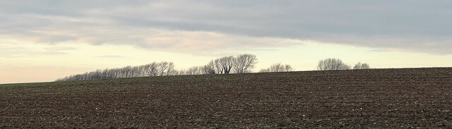
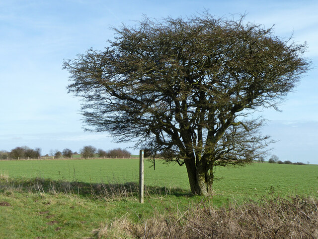
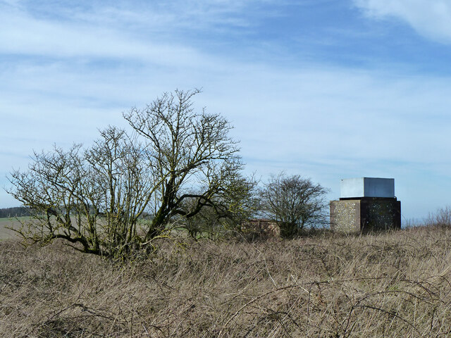
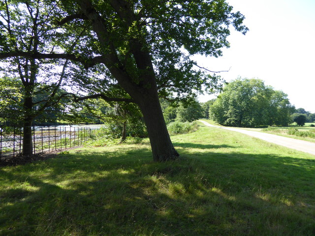
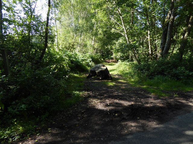
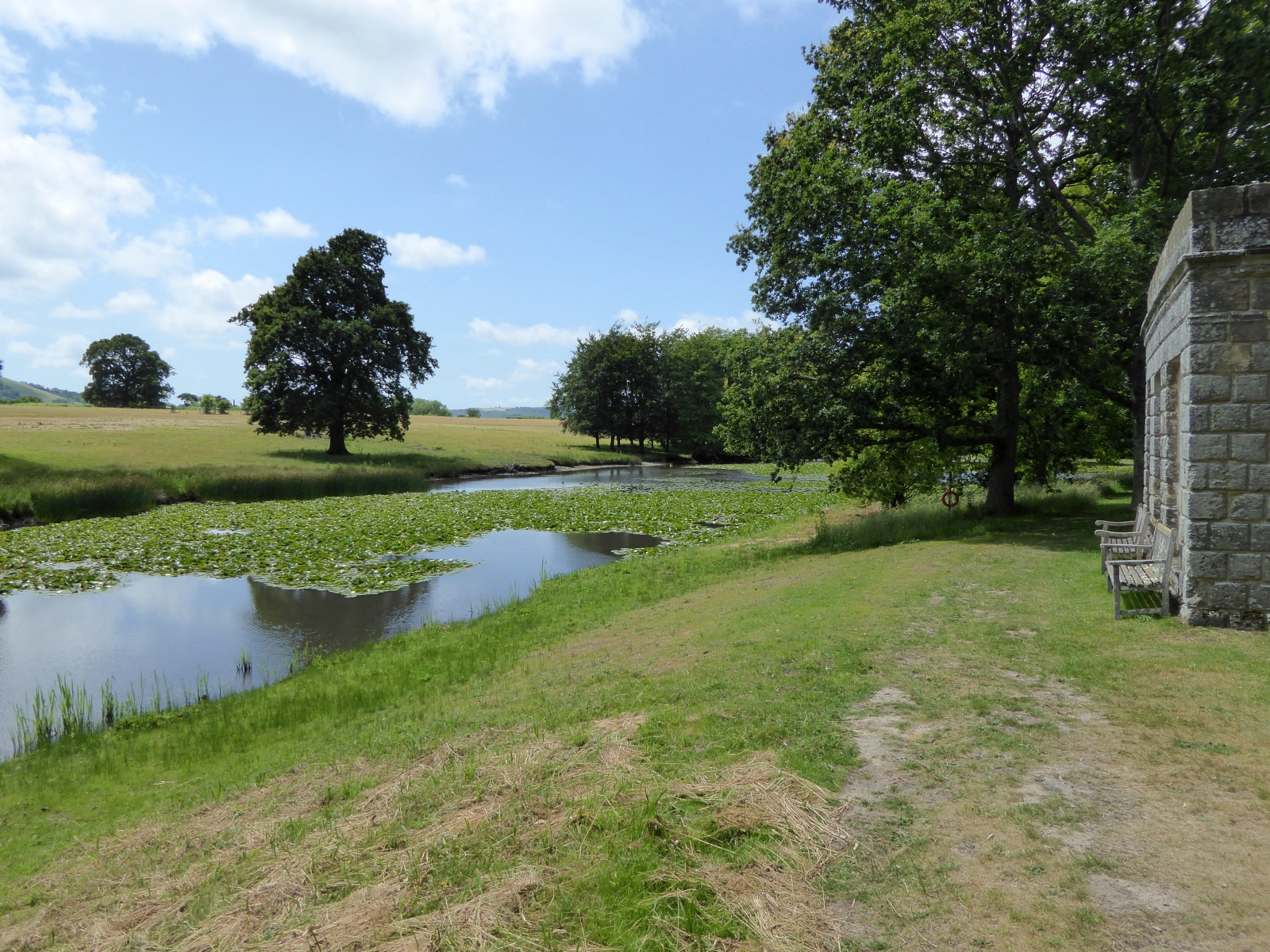
Ash Copse is a picturesque wood located in Sussex, England. With an area of approximately 50 acres, it is classified as a small forest. The copse is primarily composed of ash trees, which give it its name. These tall, slender trees create a dense canopy, providing shade and shelter to the various plants and animals that call this woodland home.

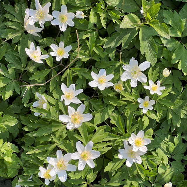
The forest floor of Ash Copse is covered in a thick layer of leaf litter, creating a rich and fertile soil. This environment supports a diverse range of flora, including bluebells, primroses, and wood anemones, which create a vibrant display of colors during springtime. Additionally, the copse is also home to various ferns, mosses, and fungi, adding to its biodiversity.

The woodland is a haven for wildlife, serving as a habitat for a variety of bird species such as woodpeckers, nightingales, and tawny owls. Squirrels, badgers, and foxes are also commonly spotted within the copse. Furthermore, the dense vegetation and secluded nature of the wood make it an ideal nesting and breeding ground for numerous insects and small mammals.

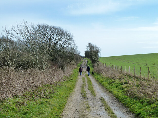
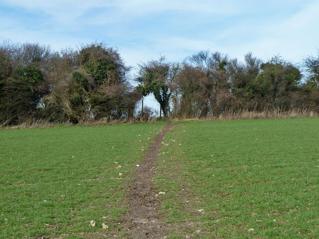
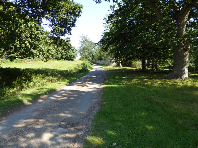
Ash Copse is a popular destination for nature enthusiasts and walkers, who can explore the various walking trails that wind their way through the forest. These trails offer visitors the opportunity to immerse themselves in the tranquility of the woodland and appreciate its natural beauty.

If you have any feedback on the listing, please let us know in the comments section below.
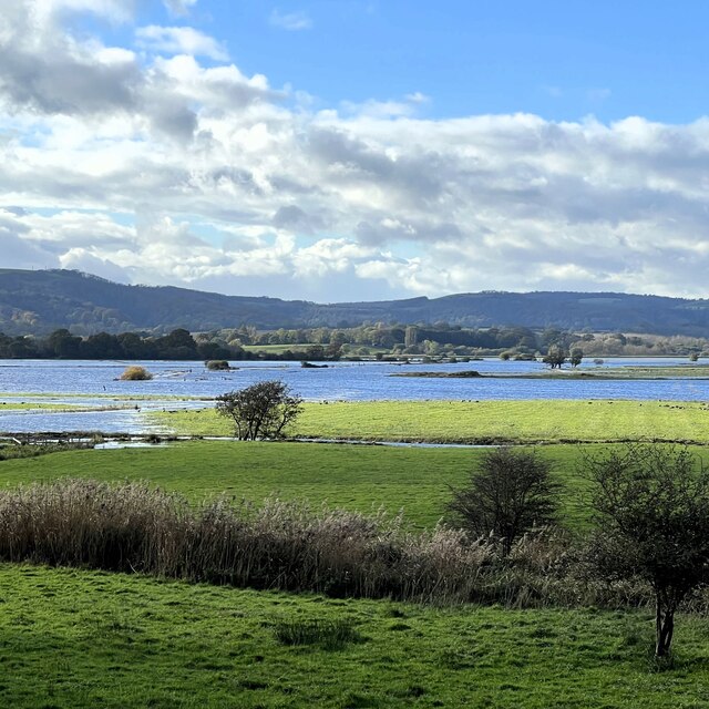
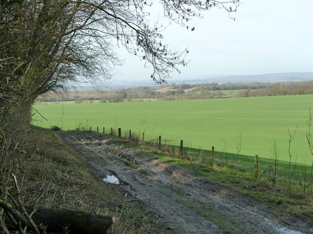
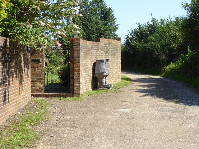
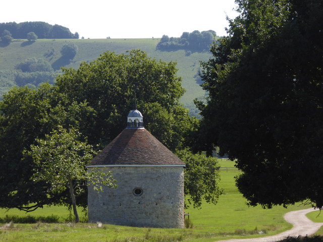
Ash Copse Images

Images are sourced within 2km of 50.913005/-0.49140976 or Grid Reference TQ0613. Thanks to Geograph Open Source API. All images are credited.

Wood anemones by Rackham Road
The Mill House The remains of an old watermill are nearby.
The Mill House
The remains of an old watermill are nearby.
School House and Old School The School House is on the left and the Old School is on the right.
School House and Old School
The School House is on the left and the Old School is on the right.
Parham House One of Simon Jenkins top country houses  - a fine house in an even finer setting twixt downs and vale
Parham House
One of Simon Jenkins top country houses - a fine house in an even finer setting twixt downs and vale
View NW from the path near Coldharbour
View west over Amberley Brooks The Brooks are flooded after heavy rain. This is normal in the winter months.
View west over Amberley Brooks
The Brooks are flooded after heavy rain. This is normal in the winter months.
South Downs Way east of Kithurst Hill car park Restricted byway 2673, Storrington and Sullington.
South Downs Way east of Kithurst Hill car park
Restricted byway 2673, Storrington and Sullington.
Farm track along foot of downs, Storrington A private route.
Farm track along foot of downs, Storrington
A private route.
Tree by bridleway 2240, Storrington and Sullington
Waste ground with water tank In the middle of the view, in bushes, is what looks like an earlier tank. Certainly the current tank looks younger than its supporting building.  This area had mapped of old some sort of  larger building range.
Waste ground with water tank
In the middle of the view, in bushes, is what looks like an earlier tank. Certainly the current tank looks younger than its supporting building. This area had mapped of old some sort of larger building range.
Waste ground with water tank On the right, in bushes, is what looks like an earlier tank. Certainly the current tank looks younger than its supporting building.  This area had mapped of old some sort of  larger building range.
Waste ground with water tank
On the right, in bushes, is what looks like an earlier tank. Certainly the current tank looks younger than its supporting building. This area had mapped of old some sort of larger building range.
Bridleway 2252, Storrington and Sullington It crosses bridleway 2249 on the other side of the hedge.
Bridleway 2252, Storrington and Sullington
It crosses bridleway 2249 on the other side of the hedge.
Gate and strange carving on footpath The torso and head are missing!  There was rubbish inside.
Gate and strange carving on footpath
The torso and head are missing! There was rubbish inside.
Dovecote revisited It's seven years since I was last here.  See <a title="https://www.geograph.org.uk/photo/1073708" href="https://www.geograph.org.uk/photo/1073708">Link</a>.
Dovecote revisited
It's seven years since I was last here. See Link.
Beside the lake in Parham Park
Footpath through Parham Park looking east
Looking along bridleway from Rackham Street
The house at Sparrite Farm For another view see <a title="https://www.geograph.org.uk/photo/1336089" href="https://www.geograph.org.uk/photo/1336089">Link</a>.
The house at Sparrite Farm
For another view see Link.
Show me another place!

Ash Copse is located at Grid Ref: TQ0613 (Lat: 50.913005, Lng: -0.49140976)

Administrative County: West Sussex

District: Horsham

Police Authority: Sussex

What 3 Words

///victory.delay.vesting. Near Storrington, West Sussex

Nearby Locations

Paddock Wood Ash Copse

Related Wikis

Parham, West Sussex

Parham is a civil parish in the Horsham District of West Sussex, England. There was a village of Parham, around the parish church, but its few houses were...

List of local nature reserves in West Sussex

Local nature reserves (LNRs) are designated by local authorities under the National Parks and Access to the Countryside Act 1949. The local authority must...
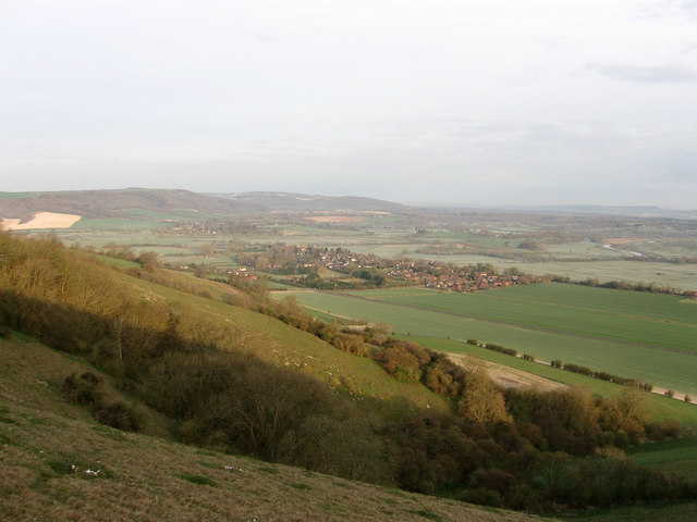
West Sussex

West Sussex is a ceremonial county in South East England. It is bordered by Surrey to the north, East Sussex to the east, the English Channel to the south...
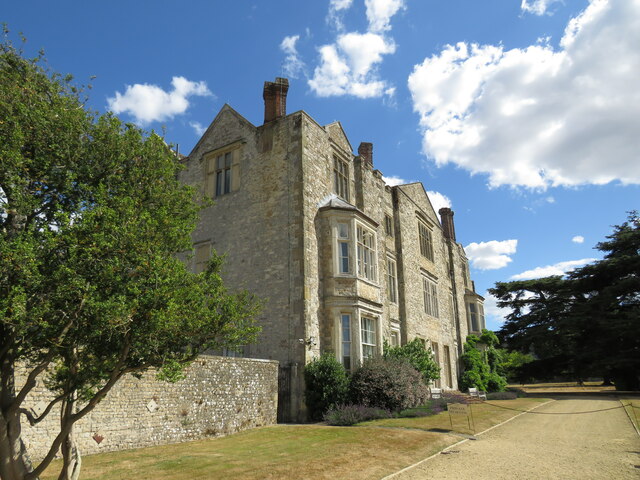
Parham Park

Parham Park is an Elizabethan house and estate in the civil parish of Parham, west of the village of Cootham, and between Storrington and Pulborough, West...

Parham Park SSSI

Parham Park SSSI is a 263.3-hectare (651-acre) biological Site of Special Scientific Interest in the grounds of Parham Park, west of Storrington in West...

Amberley Mount to Sullington Hill

Amberley Mount to Sullington Hill is a 177.2-hectare (438-acre) biological Site of Special Scientific Interest south-west of Storrington in West Sussex...
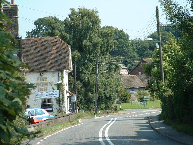
Cootham

Cootham ( KOHT-əm, KOOT-) is a hamlet in the Horsham District of West Sussex, England. It lies on the A283 road 0.9 miles (1.4 km) west of Storrington...

South Downs

The South Downs are a range of chalk hills in the south-eastern coastal counties of England that extends for about 260 sq mi (670 km2) across the south...

Nearby Amenities

Located within 500m of 50.913005,-0.49140976
Springhead Farm
Naptan AtcoCode: 4400HR0595
Naptan Bearing: E
Naptan BusStopType: CUS
Naptan CommonName: Springhead Farm
Naptan Indicator: adj
Naptan Landmark: Hail & Ride
Naptan NaptanCode: wsxdtmtp
Naptan Street: Amberly Road
Naptan Verified: no
Source: naptan_import
Lat/Long: 50.9086945/-0.492625
Springhead Farm
Naptan AtcoCode: 4400HR0646
Naptan Bearing: W
Naptan BusStopType: CUS
Naptan CommonName: Springhead Farm
Naptan Indicator: opp
Naptan Landmark: Hail & Ride
Naptan NaptanCode: wsxdtpwa
Naptan Street: Amberly Road
Naptan Verified: no
Source: naptan_import
Lat/Long: 50.9086316/-0.4926271
The data included in this document is from www.openstreetmap.org. The data is made available under ODbL.

Have you been to Ash Copse?

Leave your review of Ash Copse below (or comments, questions and feedback).