Paddock Wood

Wood, Forest in Sussex Horsham

England

Paddock Wood

Wood anemones by Rackham Road
Wood anemones by Rackham Road Credit: Ian Cunliffe

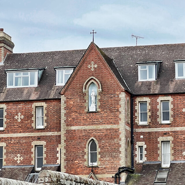
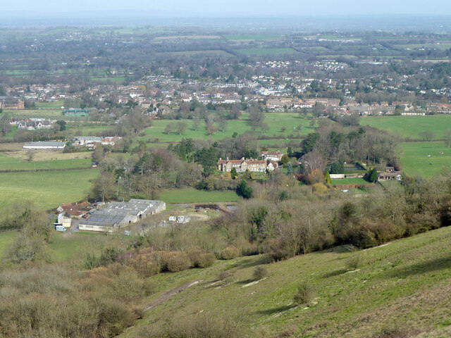
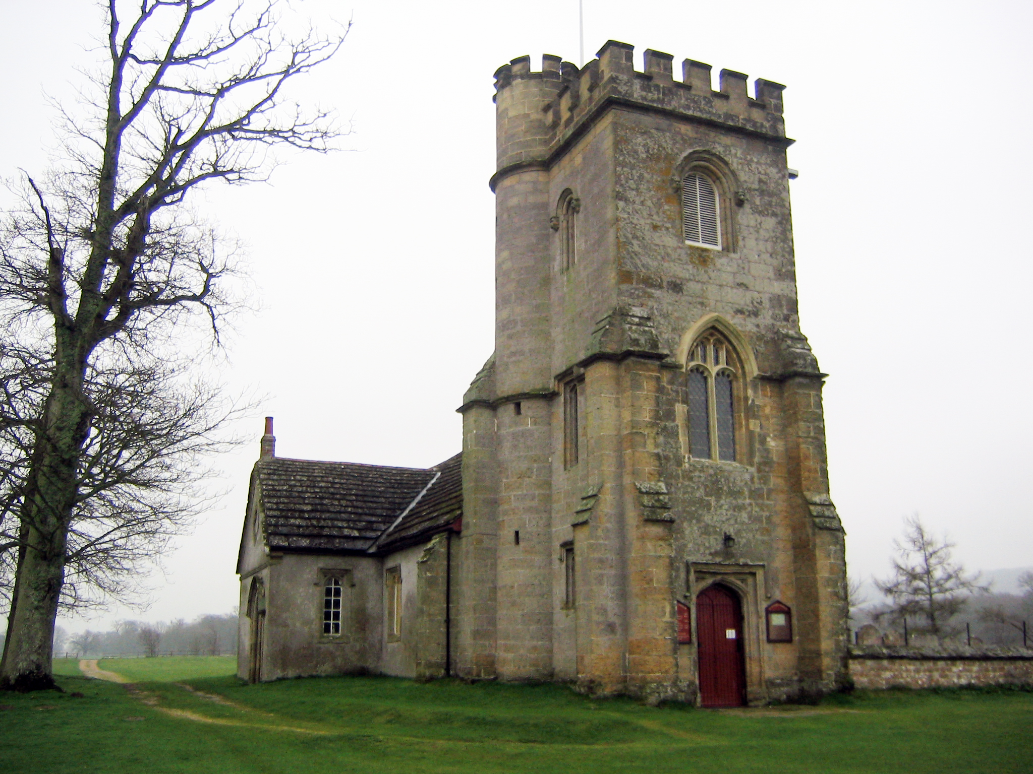
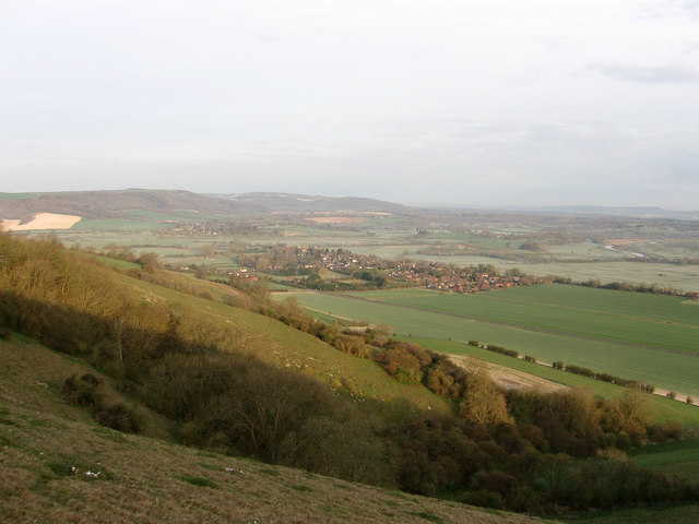
Paddock Wood is a small village located in the county of Sussex, England. Situated within the Wealden district, it lies approximately 40 miles southeast of London. The village is named after the surrounding woodlands and is known for its picturesque countryside and rural charm.

Paddock Wood is home to a population of around 9,000 residents. The village has a rich history, with evidence of human settlement dating back to the prehistoric era. In the Middle Ages, Paddock Wood was primarily an agricultural community, and farming remained an important industry in the area for centuries.

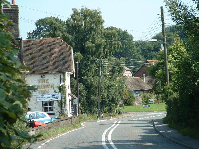
Today, Paddock Wood has developed into a vibrant and thriving village. It offers a range of amenities and services, including shops, restaurants, and pubs, catering to both residents and visitors. The village also hosts a weekly farmers market, where locals can purchase fresh produce and artisanal goods.

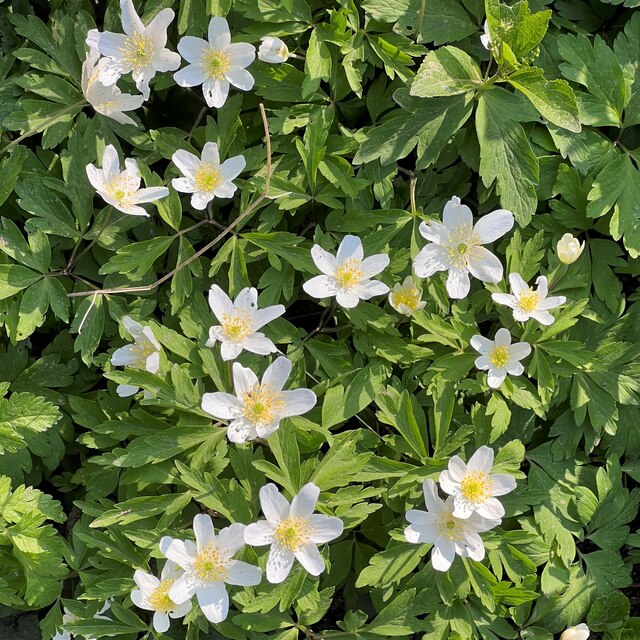
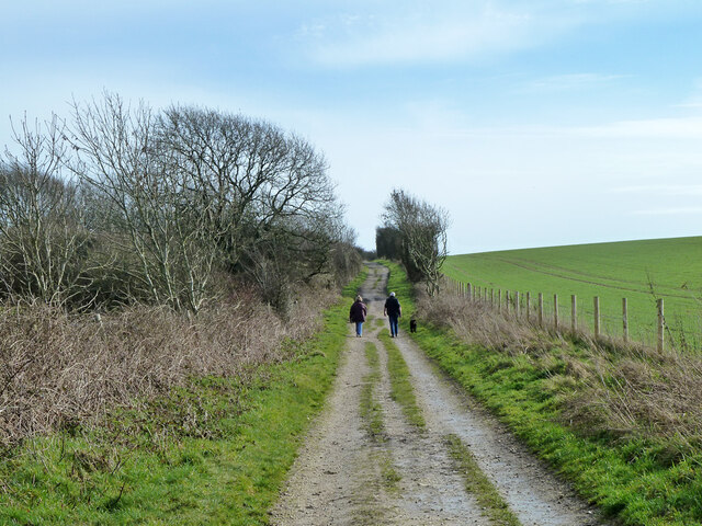
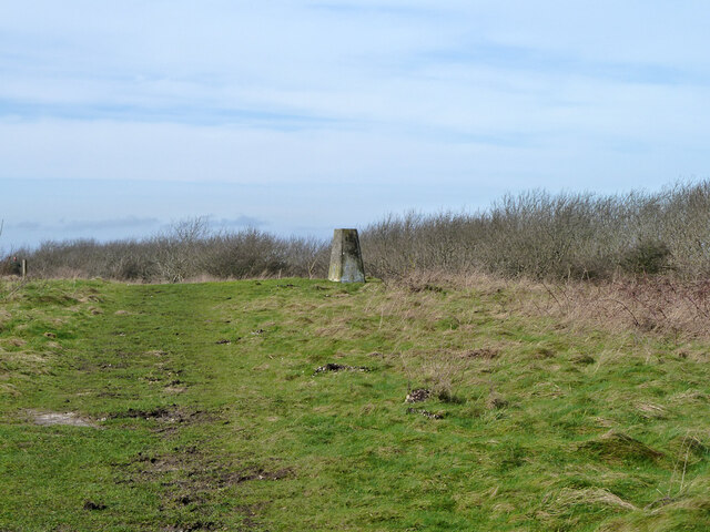
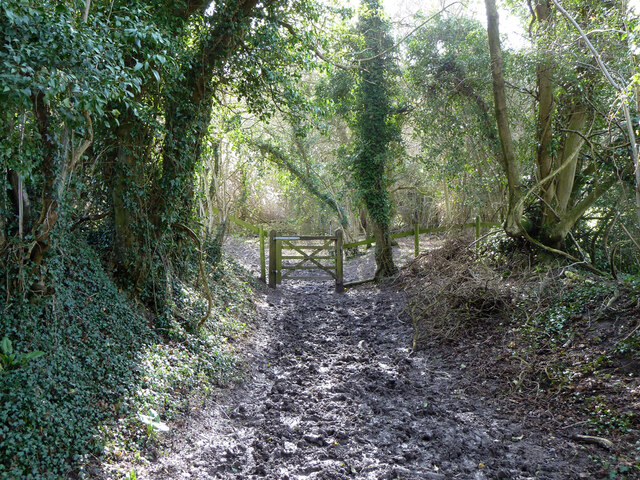
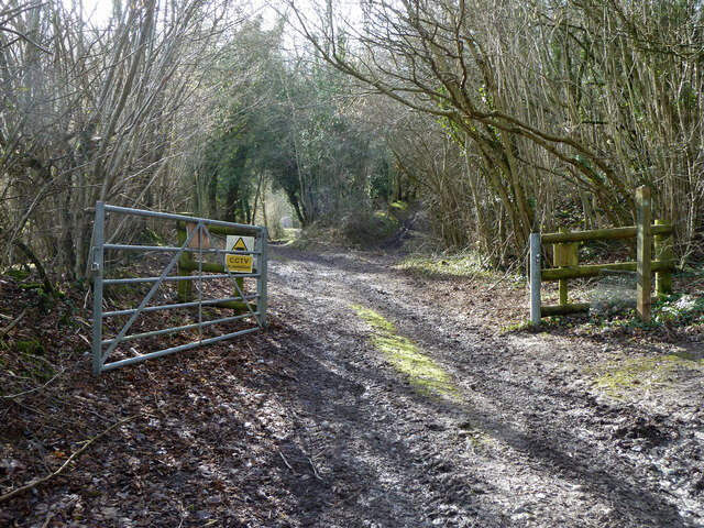
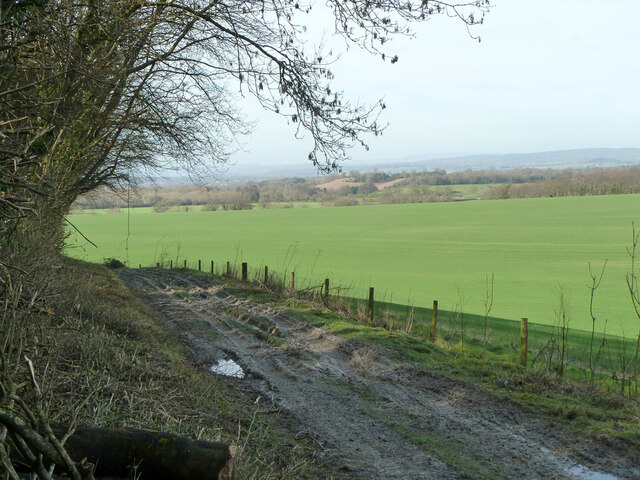
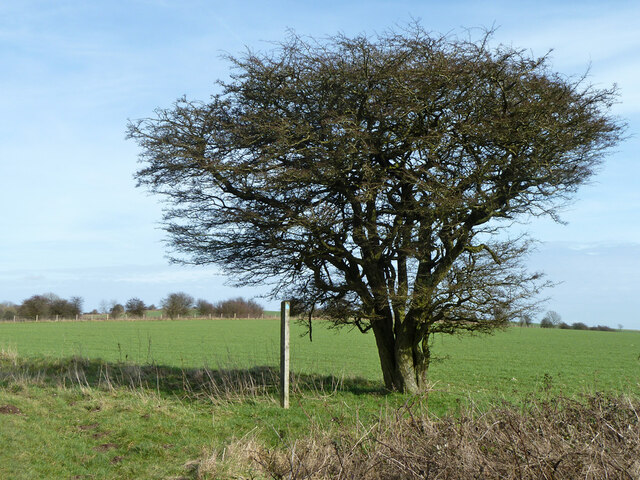
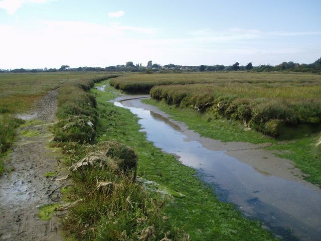
The surrounding countryside provides ample opportunities for outdoor activities and exploration. Paddock Wood is surrounded by beautiful woodlands, offering scenic walking trails and wildlife spotting. The village is also close to several nature reserves and parks, allowing residents to enjoy the natural beauty of the area.

Transport links in Paddock Wood are excellent, with a train station providing direct connections to London and other major cities. The village is also well-connected by road, with easy access to the A21 and M25 motorways.

Overall, Paddock Wood is a charming village with a strong sense of community and a beautiful natural environment, making it a desirable place to live or visit in Sussex.

If you have any feedback on the listing, please let us know in the comments section below.

Paddock Wood Images

Images are sourced within 2km of 50.913242/-0.48325105 or Grid Reference TQ0613. Thanks to Geograph Open Source API. All images are credited.

Wood anemones by Rackham Road
School House and Old School The School House is on the left and the Old School is on the right.
School House and Old School
The School House is on the left and the Old School is on the right.
Parham House One of Simon Jenkins top country houses  - a fine house in an even finer setting twixt downs and vale
Parham House
One of Simon Jenkins top country houses - a fine house in an even finer setting twixt downs and vale
View NW from the path near Coldharbour
Our Lady of England Priory This part of the building is labelled "monastery" on the map. Behind it is the church.
Our Lady of England Priory
This part of the building is labelled "monastery" on the map. Behind it is the church.
Fallen tree near the footpath The crop is oats, I think. Part of the tree had fallen the other way - to the right. Maybe it was struck by lightning?
Fallen tree near the footpath
The crop is oats, I think. Part of the tree had fallen the other way - to the right. Maybe it was struck by lightning?
South Downs Way east of Kithurst Hill car park Restricted byway 2673, Storrington and Sullington.
South Downs Way east of Kithurst Hill car park
Restricted byway 2673, Storrington and Sullington.
South Downs Way,  Kithurst Hill Restricted byway 2673, Storrington and Sullington.
South Downs Way, Kithurst Hill
Restricted byway 2673, Storrington and Sullington.
Triangulation pillar, Kithurst Hill 213 metres.
Triangulation pillar, Kithurst Hill
213 metres.
View towards Storrington from the downs
Bridleway 2251, Storrington and Sullington Here crossing a band of marly chalk, which makes a fine mess in the winter months.
Bridleway 2251, Storrington and Sullington
Here crossing a band of marly chalk, which makes a fine mess in the winter months.
Bridleway 2251, Storrington and Sullington Towards Grey Friars Farm.
Bridleway 2251, Storrington and Sullington
Towards Grey Friars Farm.
Bridleway by Grey Friars Farm Bridleway 2251, Storrington and Sullington.
Bridleway by Grey Friars Farm
Bridleway 2251, Storrington and Sullington.
Greyfriars Lane by Grey Friars Farm Here only a bridleway for the public - bridleway 2249, Storrington and Sullington. Bridleway 2251 branches to the right.
Greyfriars Lane by Grey Friars Farm
Here only a bridleway for the public - bridleway 2249, Storrington and Sullington. Bridleway 2251 branches to the right.
A particularly sheltered Coldharbour Something is going on inside, what will emerge from the cocoon later in the year?
A particularly sheltered Coldharbour
Something is going on inside, what will emerge from the cocoon later in the year?
Gated private tracks near Coldharbour The way on the left leads to a covered reservoir, to the right to an old chalk quarry.
Gated private tracks near Coldharbour
The way on the left leads to a covered reservoir, to the right to an old chalk quarry.
Farm track along foot of downs, Storrington A private route.
Farm track along foot of downs, Storrington
A private route.
Tree by bridleway 2240, Storrington and Sullington
Show me another place!

Paddock Wood is located at Grid Ref: TQ0613 (Lat: 50.913242, Lng: -0.48325105)

Administrative County: West Sussex

District: Horsham

Police Authority: Sussex

What 3 Words

///lions.career.defected. Near Storrington, West Sussex

Nearby Locations

Paddock Wood Ash Copse

Related Wikis

Parham, West Sussex

Parham is a civil parish in the Horsham District of West Sussex, England. There was a village of Parham, around the parish church, but its few houses were...

Cootham

Cootham ( KOHT-əm, KOOT-) is a hamlet in the Horsham District of West Sussex, England. It lies on the A283 road 0.9 miles (1.4 km) west of Storrington...

List of local nature reserves in West Sussex

Local nature reserves (LNRs) are designated by local authorities under the National Parks and Access to the Countryside Act 1949. The local authority must...

West Sussex

West Sussex is a ceremonial county in South East England. It is bordered by Surrey to the north, East Sussex to the east, the English Channel to the south...
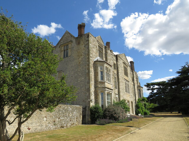
Parham Park

Parham Park is an Elizabethan house and estate in the civil parish of Parham, west of the village of Cootham, and between Storrington and Pulborough, West...

Parham Park SSSI

Parham Park SSSI is a 263.3-hectare (651-acre) biological Site of Special Scientific Interest in the grounds of Parham Park, west of Storrington in West...

Storrington F.C.

Storrington Football Club is a football club based in Storrington, near Horsham, West Sussex, England. Storrington FCwere 1st formed in 1882, where they...

Amberley Mount to Sullington Hill

Amberley Mount to Sullington Hill is a 177.2-hectare (438-acre) biological Site of Special Scientific Interest south-west of Storrington in West Sussex...

Nearby Amenities

Located within 500m of 50.913242,-0.48325105
Paddock Wood
Naptan AtcoCode: 4400HR0596
Naptan Bearing: NE
Naptan BusStopType: CUS
Naptan CommonName: Paddock Wood
Naptan Indicator: adj
Naptan Landmark: Hail & Ride
Naptan NaptanCode: wsxdtmtw
Naptan Street: Amberly Road
Naptan Verified: no
Source: naptan_import
Lat/Long: 50.909611/-0.4856112
Amberly Road
Naptan AtcoCode: 4400HR0597
Naptan Bearing: NE
Naptan BusStopType: CUS
Naptan CommonName: Amberly Road
Naptan Indicator: HAR
Naptan Landmark: Hail & Ride
Naptan NaptanCode: wsxdtmwa
Naptan Street: Amberly Road
Naptan Verified: no
Source: naptan_import
Lat/Long: 50.9109248/-0.478072
Amberly Road
Naptan AtcoCode: 4400HR0644
Naptan Bearing: SW
Naptan BusStopType: CUS
Naptan CommonName: Amberly Road
Naptan Indicator: HAR
Naptan Landmark: Hail & Ride
Naptan NaptanCode: wsxdtptp
Naptan Street: Amberly Road
Naptan Verified: no
Source: naptan_import
Lat/Long: 50.9108434/-0.4780319
Paddock Wood
Naptan AtcoCode: 4400HR0645
Naptan Bearing: W
Naptan BusStopType: CUS
Naptan CommonName: Paddock Wood
Naptan Indicator: opp
Naptan Landmark: Hail & Ride
Naptan NaptanCode: wsxdtptw
Naptan Street: Amberly Road
Naptan Verified: no
Source: naptan_import
Lat/Long: 50.9095299/-0.4855996
The data included in this document is from www.openstreetmap.org. The data is made available under ODbL.

Have you been to Paddock Wood?

Leave your review of Paddock Wood below (or comments, questions and feedback).