Heart Plantation
Wood, Forest in Sussex Horsham
England
Heart Plantation
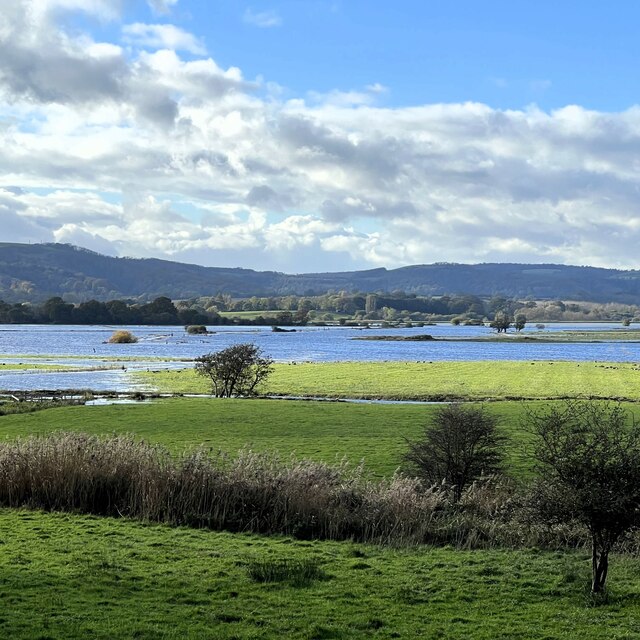
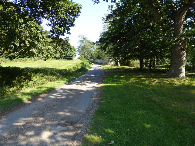
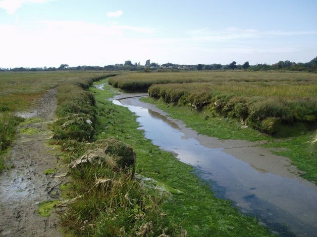
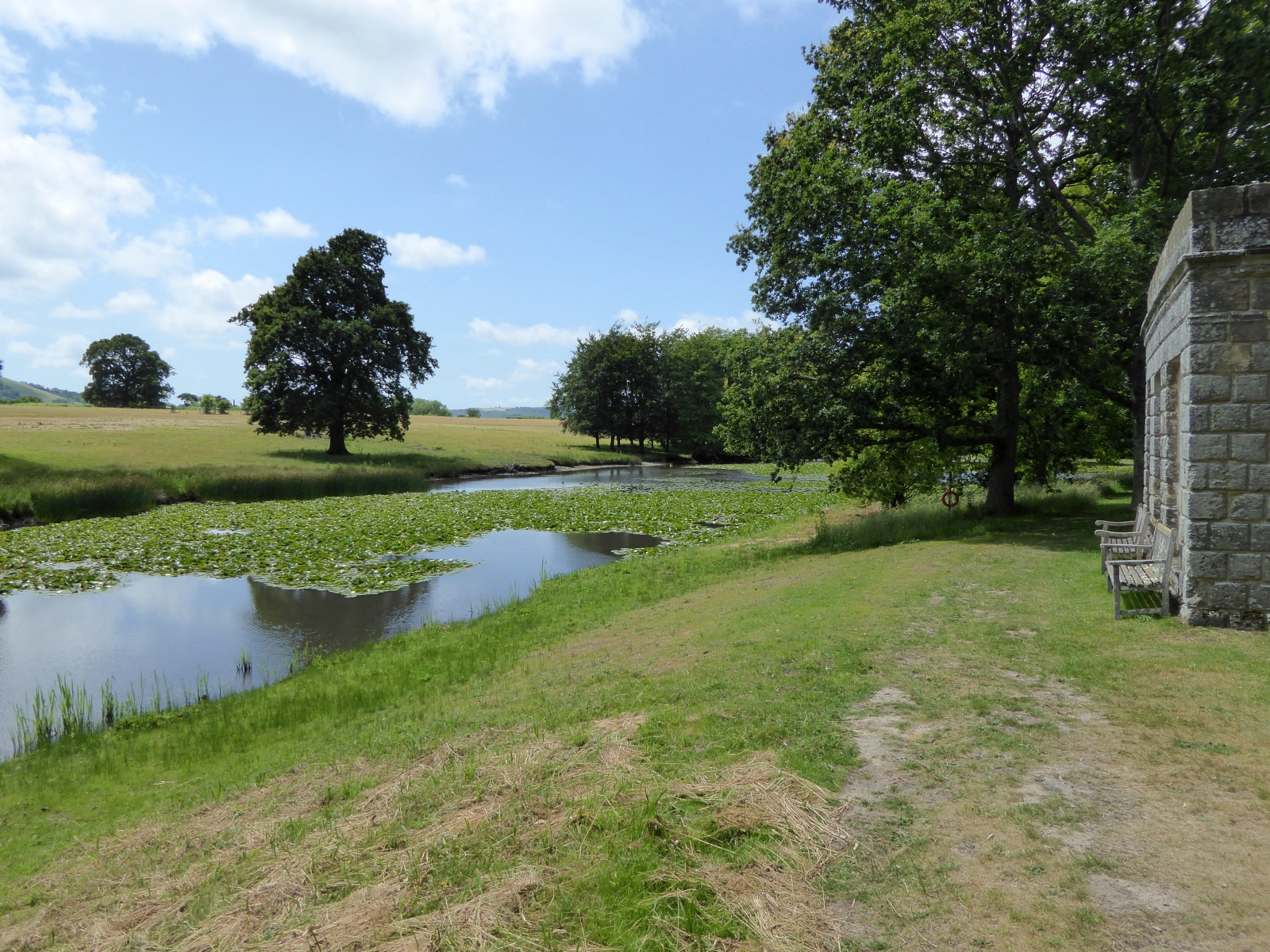
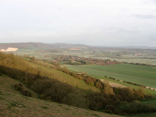
Heart Plantation is a picturesque woodland located in Sussex, England. Situated in the heart of the countryside, the plantation spans over a vast area of lush greenery and enchanting forests. It is renowned for its serene ambiance and breathtaking natural beauty.
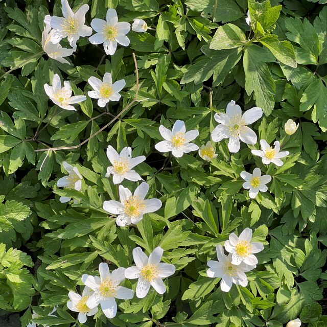
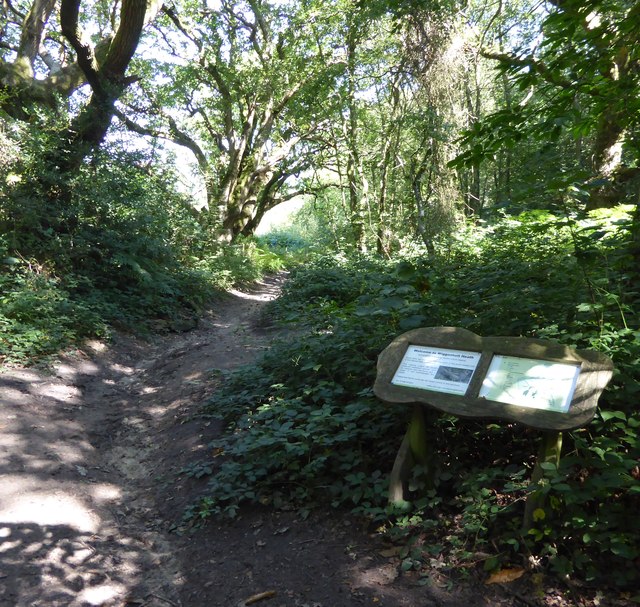
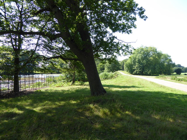
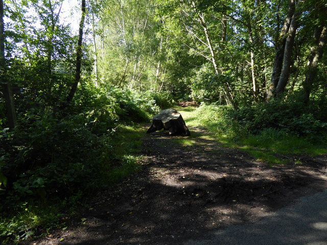
The plantation is characterized by its dense woodlands, boasting a diverse range of tree species such as oak, beech, and chestnut. These towering trees provide a rich canopy that filters sunlight, creating a tranquil and shaded environment below. The forest floor is carpeted with a vibrant array of flora, including wildflowers, ferns, and mosses, adding to the plantation's allure.
The plantation is also home to a myriad of wildlife species, making it a haven for nature enthusiasts and wildlife lovers. Visitors can spot various bird species, such as woodpeckers and owls, nesting amongst the trees. Squirrels, rabbits, and deer are often seen darting across the woodland paths, adding a touch of wilderness to the landscape.
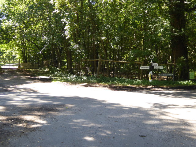
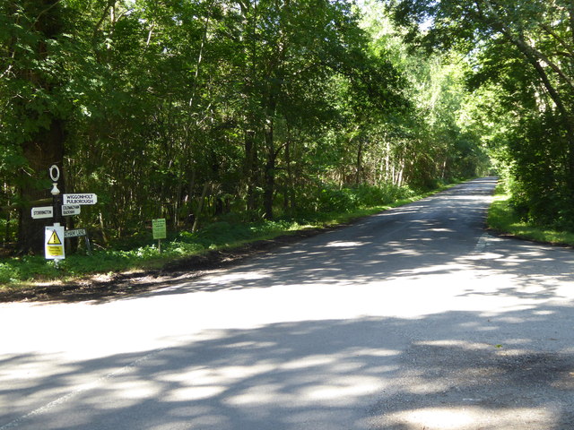
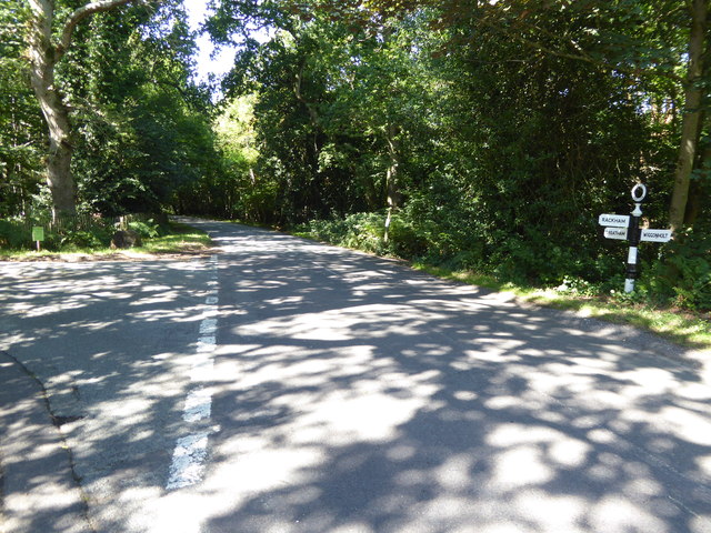
Traversing through Heart Plantation, visitors will find numerous well-maintained trails and walking paths, allowing them to explore the natural wonders at their own pace. The plantation offers a peaceful retreat, perfect for leisurely strolls, picnics, or even nature photography.
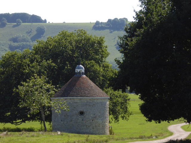
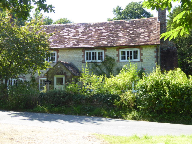
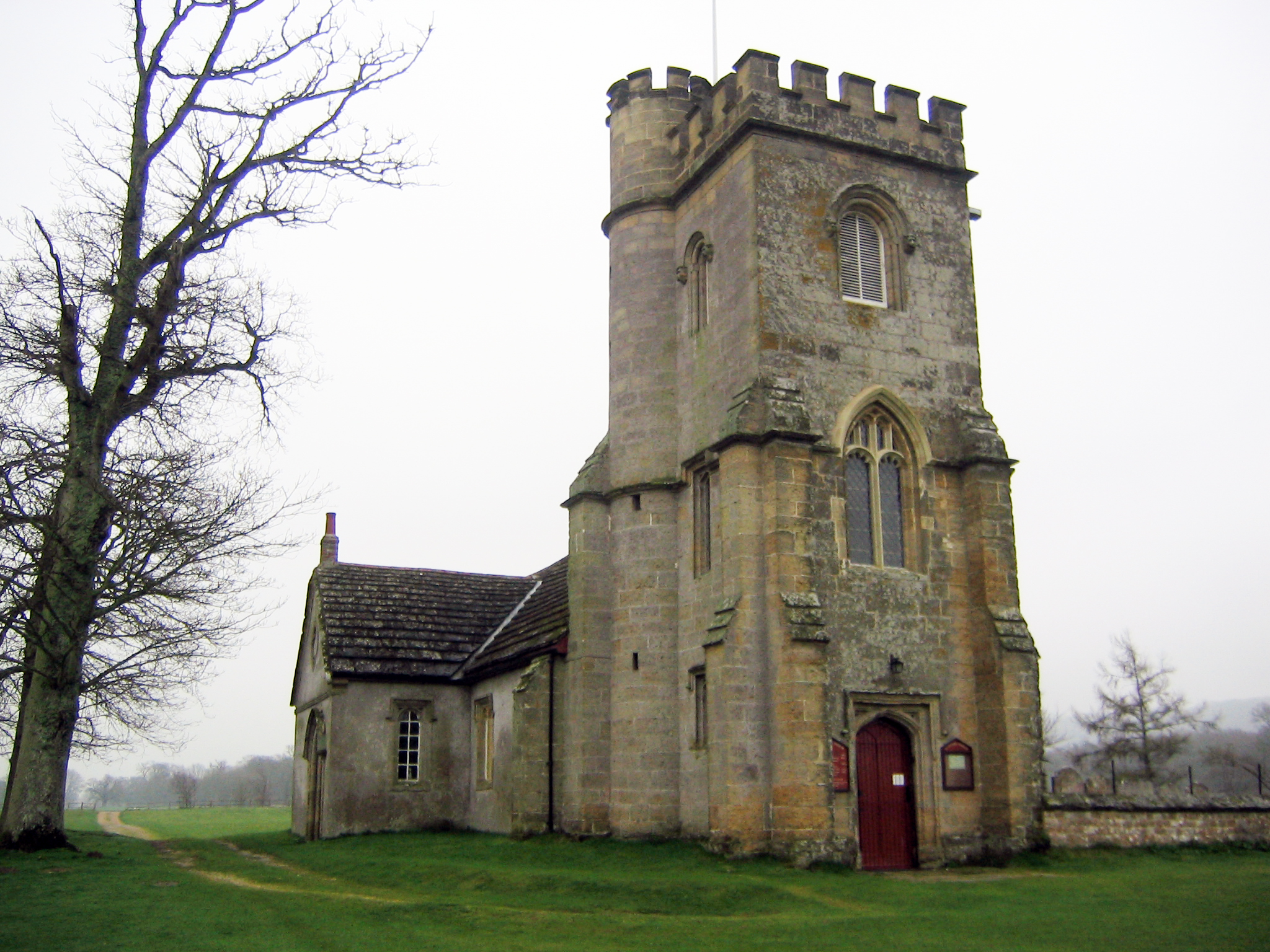
Heart Plantation is not only a sanctuary for wildlife but also a place of historical significance. It is believed to have been used as a hunting ground by ancient civilizations, and remnants of these activities can still be found in the form of old hunting lodges and stone markers scattered throughout the woodland.
Overall, Heart Plantation in Sussex is a captivating destination that seamlessly blends nature, tranquility, and history, offering visitors an unforgettable experience amidst the beauty of the English countryside.
If you have any feedback on the listing, please let us know in the comments section below.
Heart Plantation Images
Images are sourced within 2km of 50.917919/-0.49867721 or Grid Reference TQ0514. Thanks to Geograph Open Source API. All images are credited.


Heart Plantation is located at Grid Ref: TQ0514 (Lat: 50.917919, Lng: -0.49867721)
Administrative County: West Sussex
District: Horsham
Police Authority: Sussex
What 3 Words
///trouble.moguls.acids. Near Storrington, West Sussex
Nearby Locations
Related Wikis
List of local nature reserves in West Sussex
Local nature reserves (LNRs) are designated by local authorities under the National Parks and Access to the Countryside Act 1949. The local authority must...

West Sussex
West Sussex is a ceremonial county in South East England. It is bordered by Surrey to the north, East Sussex to the east, the English Channel to the south...
Parham, West Sussex
Parham is a civil parish in the Horsham District of West Sussex, England. There was a village of Parham, around the parish church, but its few houses were...
Parham Park SSSI
Parham Park SSSI is a 263.3-hectare (651-acre) biological Site of Special Scientific Interest in the grounds of Parham Park, west of Storrington in West...

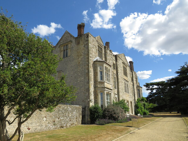
Parham Park
Parham Park is an Elizabethan house and estate in the civil parish of Parham, west of the village of Cootham, and between Storrington and Pulborough, West...
Cootham
Cootham ( KOHT-əm, KOOT-) is a hamlet in the Horsham District of West Sussex, England. It lies on the A283 road 0.9 miles (1.4 km) west of Storrington...
Amberley Mount to Sullington Hill
Amberley Mount to Sullington Hill is a 177.2-hectare (438-acre) biological Site of Special Scientific Interest south-west of Storrington in West Sussex...

South Downs
The South Downs are a range of chalk hills in the south-eastern coastal counties of England that extends for about 260 sq mi (670 km2) across the south...
Nearby Amenities
Located within 500m of 50.917919,-0.49867721Have you been to Heart Plantation?
Leave your review of Heart Plantation below (or comments, questions and feedback).