Fangrove Hill
Hill, Mountain in Sussex Horsham
England
Fangrove Hill
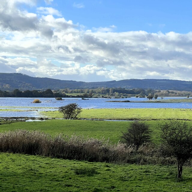
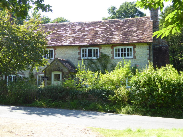
Fangrove Hill is a prominent landmark located in the county of Sussex, England. Situated in the South Downs National Park, it is part of the wider South Downs range, known for its rolling hills and picturesque landscapes. Although referred to as a hill, Fangrove Hill is more accurately described as a gentle rise in elevation rather than a towering mountain.
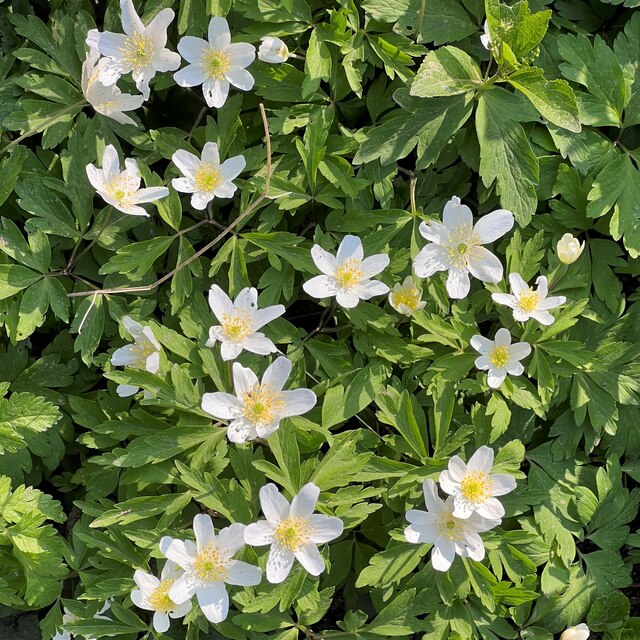
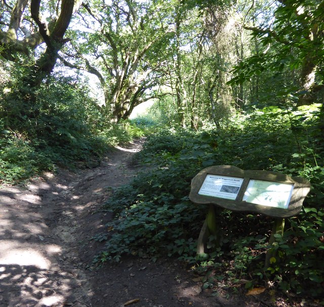
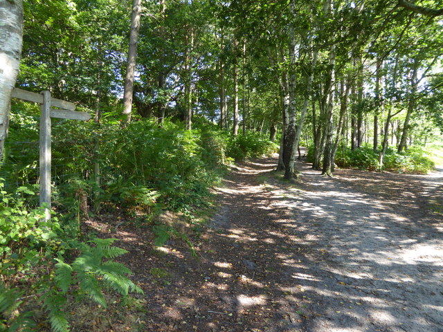
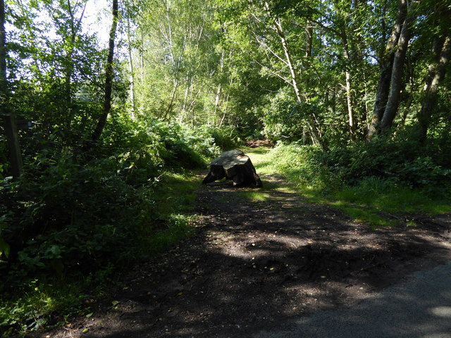
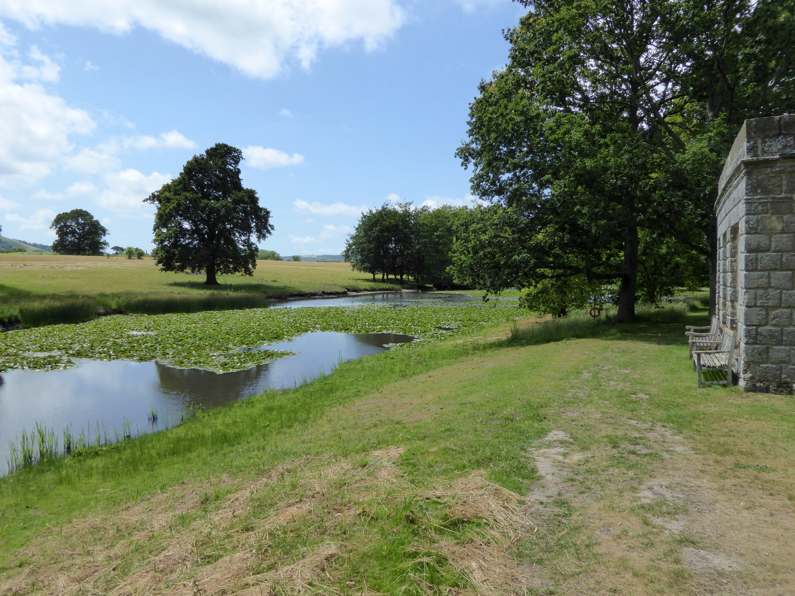
Covered in lush greenery, Fangrove Hill offers breathtaking panoramic views of the surrounding countryside. From its summit, visitors can admire the patchwork of fields, dense woodland, and meandering streams that define the Sussex countryside. On a clear day, the view extends as far as the English Channel, providing a glimpse of the sparkling waters in the distance.
The hill is a popular destination for hikers, nature enthusiasts, and those seeking a peaceful escape from the bustling cities nearby. Its well-maintained footpaths and trails allow visitors to explore the area at their own pace, taking in the beauty of the landscape and the diverse flora and fauna that call Fangrove Hill home.
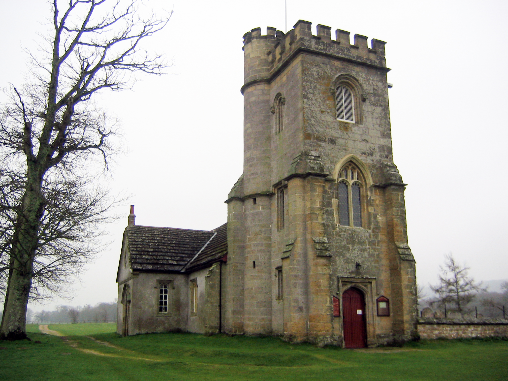
Fangrove Hill also holds historical significance, as it is believed to have been inhabited by humans since ancient times. Archaeological evidence suggests that the hill was once a settlement, and remnants of prehistoric structures have been discovered in the area.
Overall, Fangrove Hill is a picturesque natural feature, offering visitors a chance to immerse themselves in the stunning beauty of the Sussex countryside while also providing a glimpse into the region's rich history.
If you have any feedback on the listing, please let us know in the comments section below.
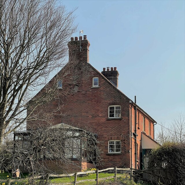
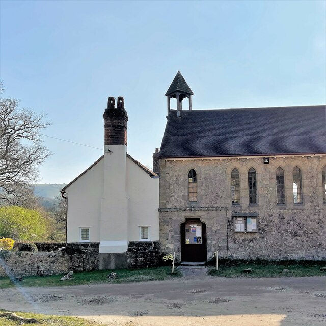
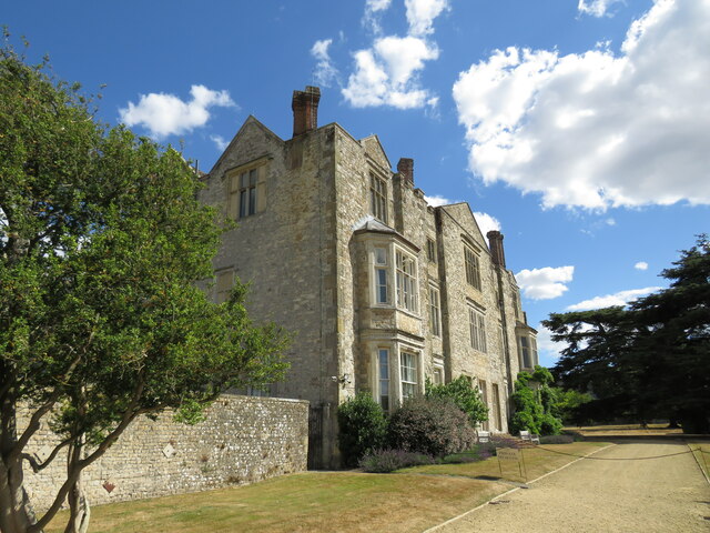
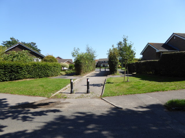
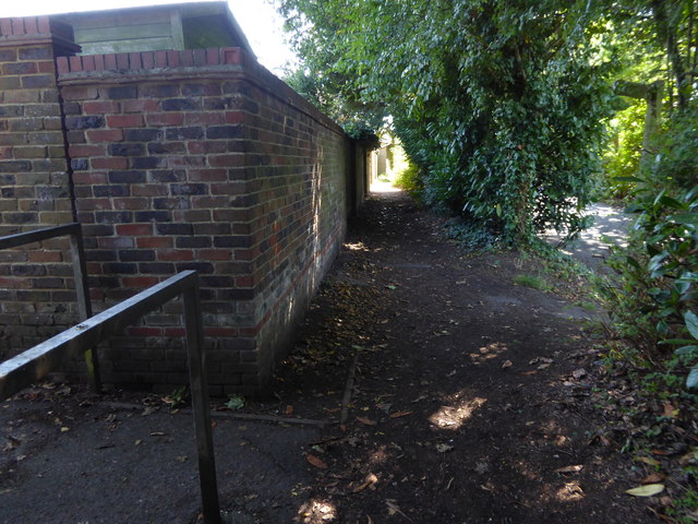
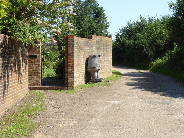
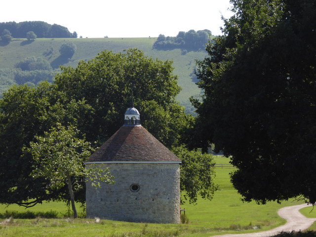
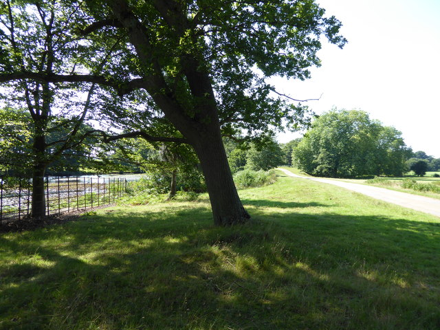
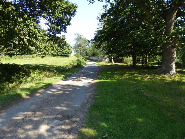
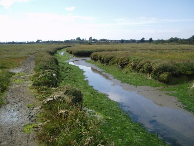
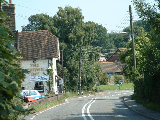
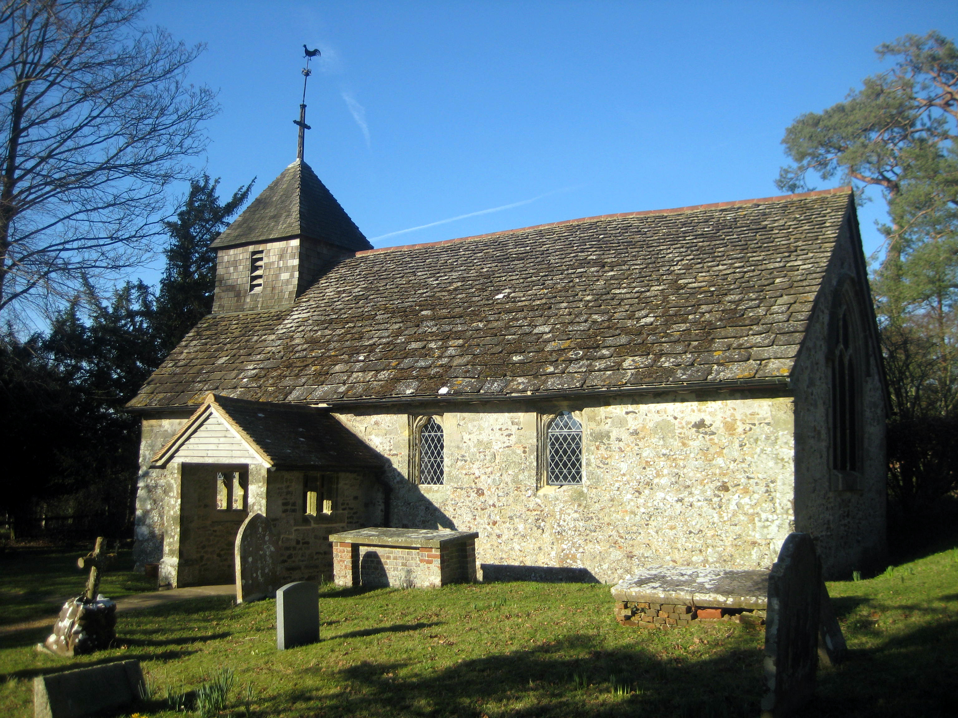
Fangrove Hill Images
Images are sourced within 2km of 50.920716/-0.49376408 or Grid Reference TQ0514. Thanks to Geograph Open Source API. All images are credited.
Fangrove Hill is located at Grid Ref: TQ0514 (Lat: 50.920716, Lng: -0.49376408)
Administrative County: West Sussex
District: Horsham
Police Authority: Sussex
What 3 Words
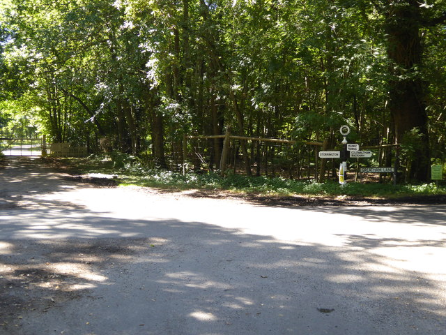
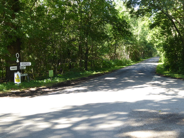
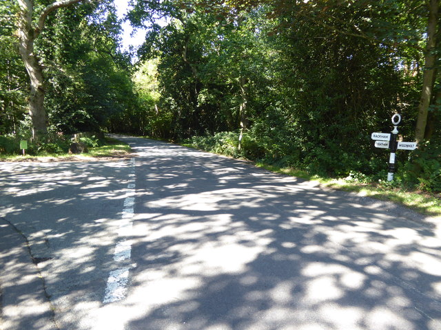
///crusted.jaundice.sprinkler. Near Storrington, West Sussex
Nearby Locations
Related Wikis

Parham Park
Parham Park is an Elizabethan house and estate in the civil parish of Parham, west of the village of Cootham, and between Storrington and Pulborough, West...
Parham Park SSSI
Parham Park SSSI is a 263.3-hectare (651-acre) biological Site of Special Scientific Interest in the grounds of Parham Park, west of Storrington in West...
Parham, West Sussex
Parham is a civil parish in the Horsham District of West Sussex, England. There was a village of Parham, around the parish church, but its few houses were...
List of local nature reserves in West Sussex
Local nature reserves (LNRs) are designated by local authorities under the National Parks and Access to the Countryside Act 1949. The local authority must...

West Sussex
West Sussex is a ceremonial county in South East England. It is bordered by Surrey to the north, East Sussex to the east, the English Channel to the south...
Cootham
Cootham ( KOHT-əm, KOOT-) is a hamlet in the Horsham District of West Sussex, England. It lies on the A283 road 0.9 miles (1.4 km) west of Storrington...
Wiggonholt
Wiggonholt is a village and former civil parish, now in the parish of Parham, in the Horsham district of West Sussex, England. It is 1.5 miles (2.4 km...

Storrington F.C.
Storrington Football Club is a football club based in Storrington, near Horsham, West Sussex, England. Storrington FCwere 1st formed in 1882, where they...
Nearby Amenities
Located within 500m of 50.920716,-0.49376408Have you been to Fangrove Hill?
Leave your review of Fangrove Hill below (or comments, questions and feedback).