Parham

Civil Parish in Sussex Horsham

England

Parham

Wood anemones by Rackham Road
Wood anemones by Rackham Road Credit: Ian Cunliffe

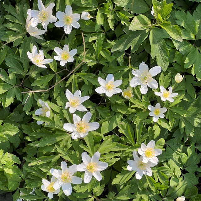
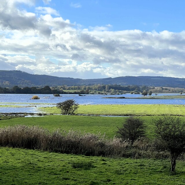
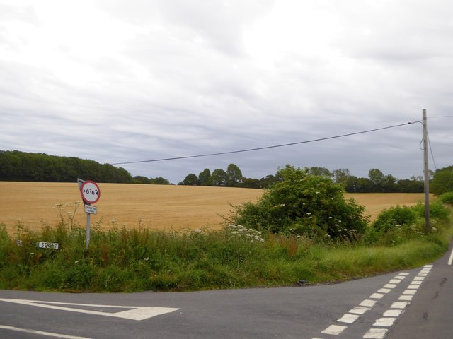
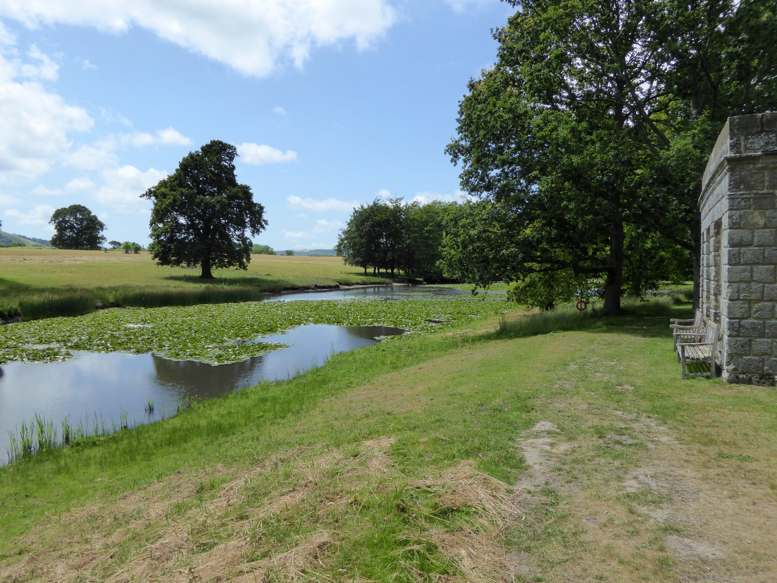
Parham is a civil parish located in the district of Sussex, England. It is a small rural area that covers an approximate area of 5 square miles. The parish is situated near the South Downs National Park and is surrounded by picturesque countryside, making it a popular destination for nature lovers and outdoor enthusiasts.

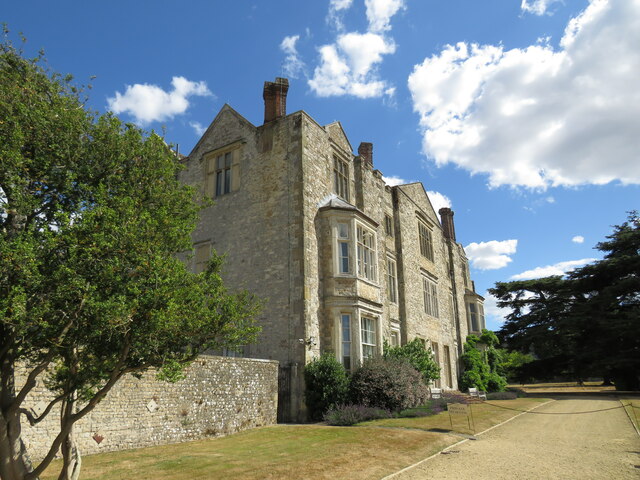
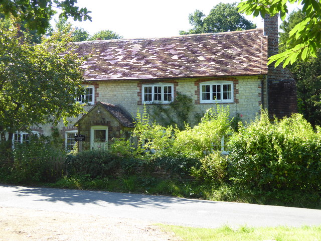
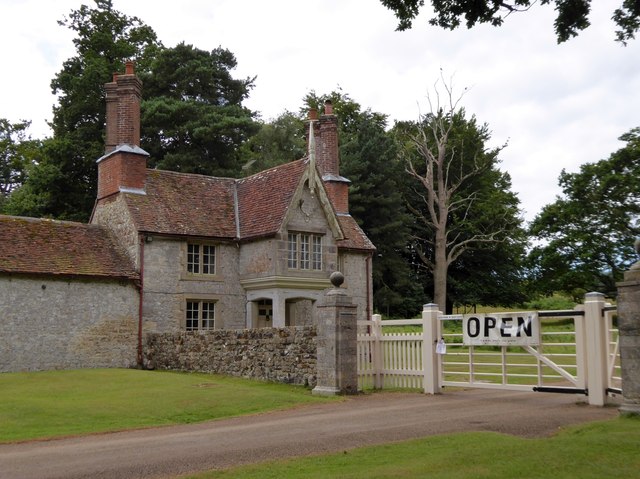
The village of Parham, after which the parish is named, is the main settlement in the area. It is a quaint and charming village that exudes a sense of tranquility and serenity. Parham is known for its well-preserved historic buildings, including Parham House, a beautiful Elizabethan country house that dates back to the 16th century. Parham House is a major tourist attraction and is renowned for its stunning gardens and art collections.

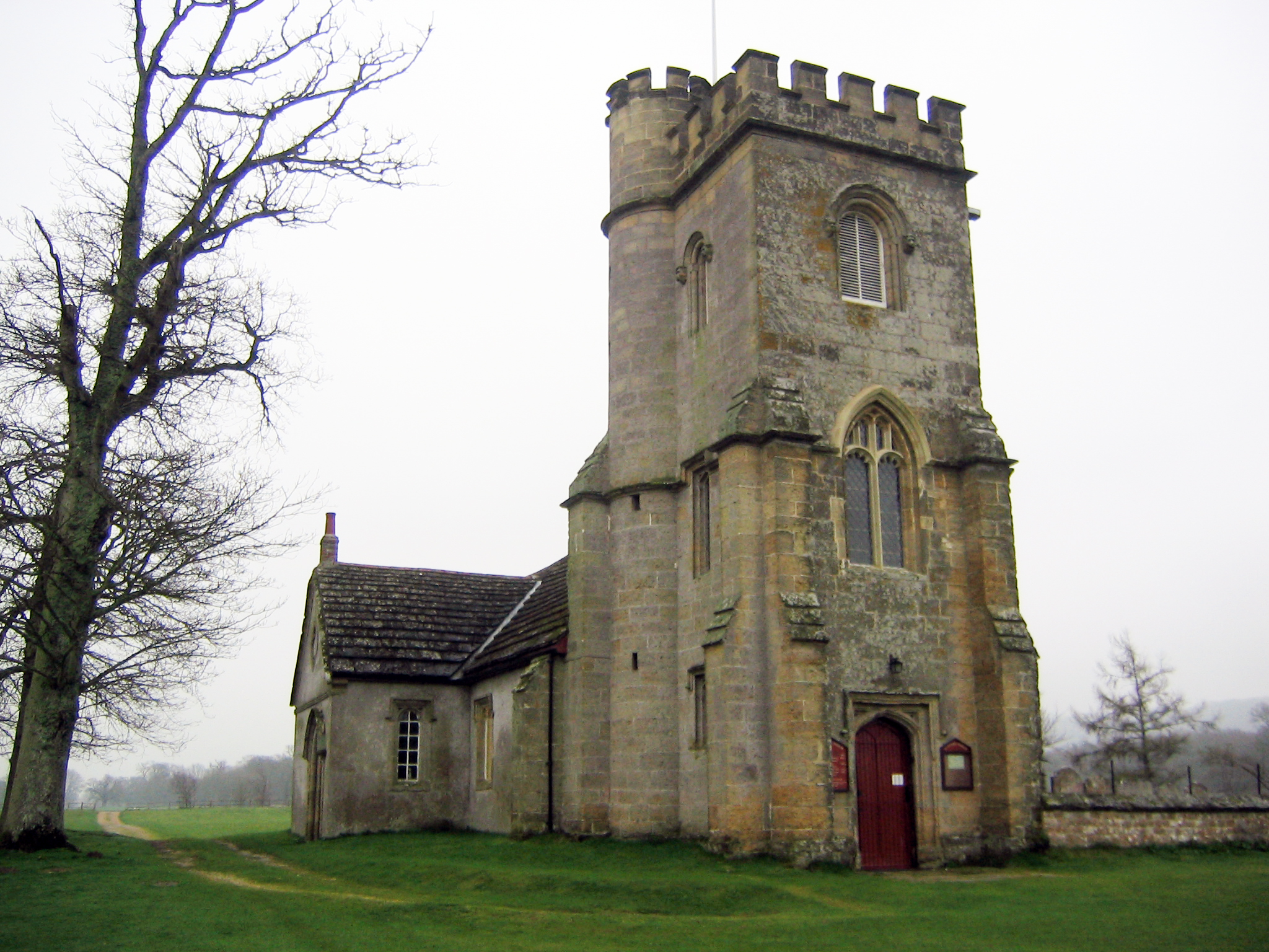
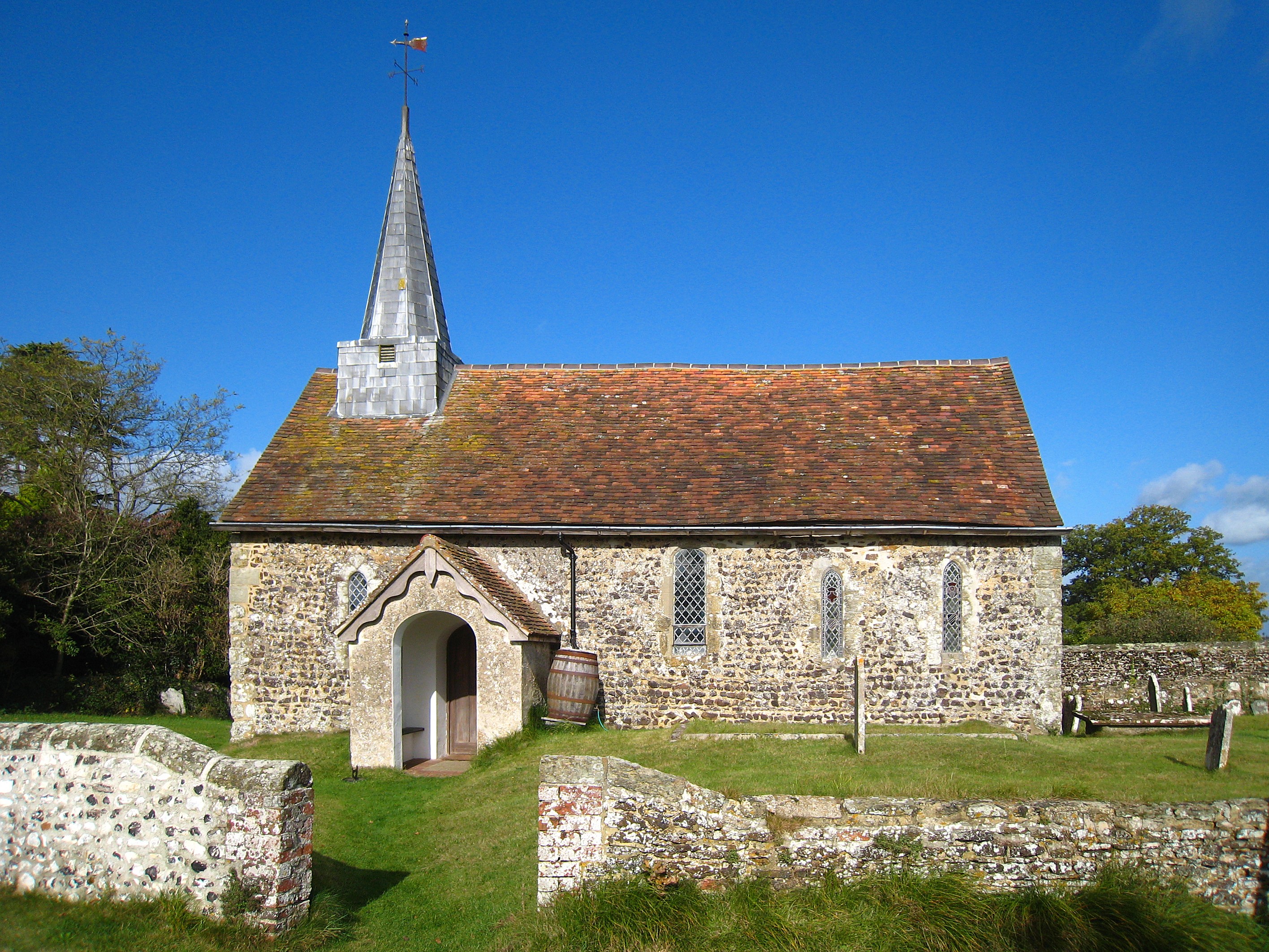
The parish is also home to a small but tight-knit community. The residents of Parham are known for their warm and friendly nature, and the village has a strong sense of community spirit. The parish has a church, St. Peter's Church, which is a focal point for religious and social activities.

Despite its small size, Parham offers a range of amenities and services to its residents. There is a village hall that hosts various community events and gatherings, and a small shop that provides basic necessities. The surrounding area offers numerous opportunities for outdoor activities, such as hiking, cycling, and horse riding.

Overall, Parham is a charming and idyllic parish that offers a peaceful and picturesque countryside lifestyle. It is a place where residents and visitors can immerse themselves in nature, explore historic landmarks, and enjoy a close-knit community atmosphere.

If you have any feedback on the listing, please let us know in the comments section below.
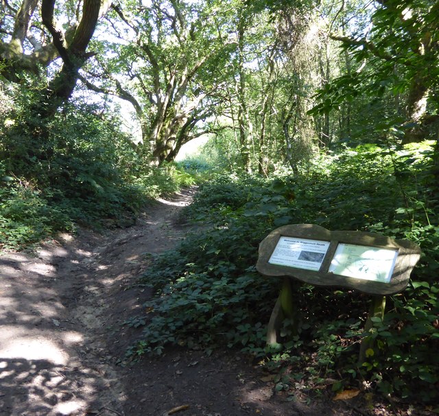
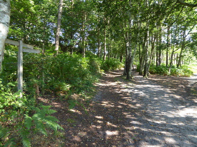
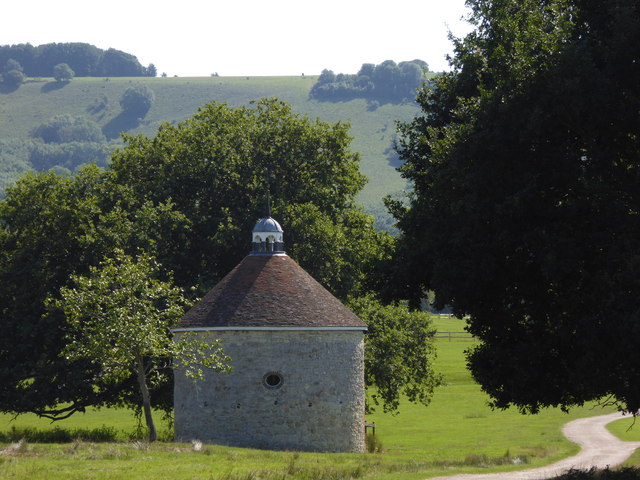
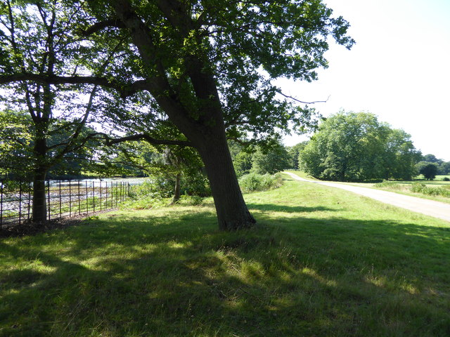
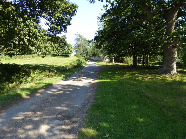
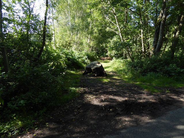
Parham Images

Images are sourced within 2km of 50.923982/-0.503793 or Grid Reference TQ0514. Thanks to Geograph Open Source API. All images are credited.

Wood anemones by Rackham Road
The Mill House The remains of an old watermill are nearby.
The Mill House
The remains of an old watermill are nearby.
School House and Old School The School House is on the left and the Old School is on the right.
School House and Old School
The School House is on the left and the Old School is on the right.
Parham House One of Simon Jenkins top country houses  - a fine house in an even finer setting twixt downs and vale
Parham House
One of Simon Jenkins top country houses - a fine house in an even finer setting twixt downs and vale
View west over Amberley Brooks The Brooks are flooded after heavy rain. This is normal in the winter months.
View west over Amberley Brooks
The Brooks are flooded after heavy rain. This is normal in the winter months.
Signpost at junction on Greatham Lane
Looking westwards on Greatham Road See also <a title="https://www.geograph.org.uk/photo/1336134" href="https://www.geograph.org.uk/photo/1336134">Link</a> and <a href="https://www.geograph.org.uk/photo/4625837">TQ0615 : Signpost at junction on Greatham Lane</a>.
Looking westwards on Greatham Road
Junction of Greatham Lane and Rackham Street Rackham Street is the more minor road.
See also <a title="https://www.geograph.org.uk/photo/1328721" href="https://www.geograph.org.uk/photo/1328721">Link</a>.
Junction of Greatham Lane and Rackham Street
Rackham Street is the more minor road. See also Link.
Bridleway on Wiggonholt Common
Junction of footpath and bridleway on Wiggonholt Common
Dovecote revisited It's seven years since I was last here.  See <a title="https://www.geograph.org.uk/photo/1073708" href="https://www.geograph.org.uk/photo/1073708">Link</a>.
Dovecote revisited
It's seven years since I was last here. See Link.
Beside the lake in Parham Park
Footpath through Parham Park looking east
Looking along bridleway from Rackham Street
The house at Sparrite Farm For another view see <a title="https://www.geograph.org.uk/photo/1336089" href="https://www.geograph.org.uk/photo/1336089">Link</a>.
The house at Sparrite Farm
For another view see Link.
Ripe cereal in a field at Rackham Street The side road, with the partly obscured road name of Rackham Street, leads to Rackham Farm and the western end of Parham Park
Ripe cereal in a field at Rackham Street
The side road, with the partly obscured road name of Rackham Street, leads to Rackham Farm and the western end of Parham Park
The eastern gatehouse for Parham Park Visitors do not use this gate; they use a modern alternative to one side.  The Victorian gatehouse is known as Douglas' Lodge
The eastern gatehouse for Parham Park
Visitors do not use this gate; they use a modern alternative to one side. The Victorian gatehouse is known as Douglas' Lodge
Douglas's Lodge, the eastern gatehouse for Parham Park On the right-hand side of the Victorian building, the flues are traced in brick.  The architect decided on a pattern of symmetry for the chimneys in the gables, which meant that the flues are not vertical
Douglas's Lodge, the eastern gatehouse for Parham Park
On the right-hand side of the Victorian building, the flues are traced in brick. The architect decided on a pattern of symmetry for the chimneys in the gables, which meant that the flues are not vertical
Show me another place!

Parham is located at Grid Ref: TQ0514 (Lat: 50.923982, Lng: -0.503793)

Administrative County: West Sussex

District: Horsham

Police Authority: Sussex

What 3 Words

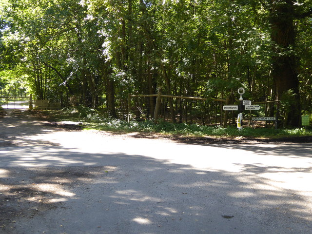
///ranks.wiped.eruptions. Near Storrington, West Sussex

Related Wikis

Parham Park SSSI

Parham Park SSSI is a 263.3-hectare (651-acre) biological Site of Special Scientific Interest in the grounds of Parham Park, west of Storrington in West...

Parham Park

Parham Park is an Elizabethan house and estate in the civil parish of Parham, west of the village of Cootham, and between Storrington and Pulborough, West...

List of local nature reserves in West Sussex

Local nature reserves (LNRs) are designated by local authorities under the National Parks and Access to the Countryside Act 1949. The local authority must...

West Sussex

West Sussex is a ceremonial county in South East England. It is bordered by Surrey to the north, East Sussex to the east, the English Channel to the south...

Parham, West Sussex

Parham is a civil parish in the Horsham District of West Sussex, England. There was a village of Parham, around the parish church, but its few houses were...
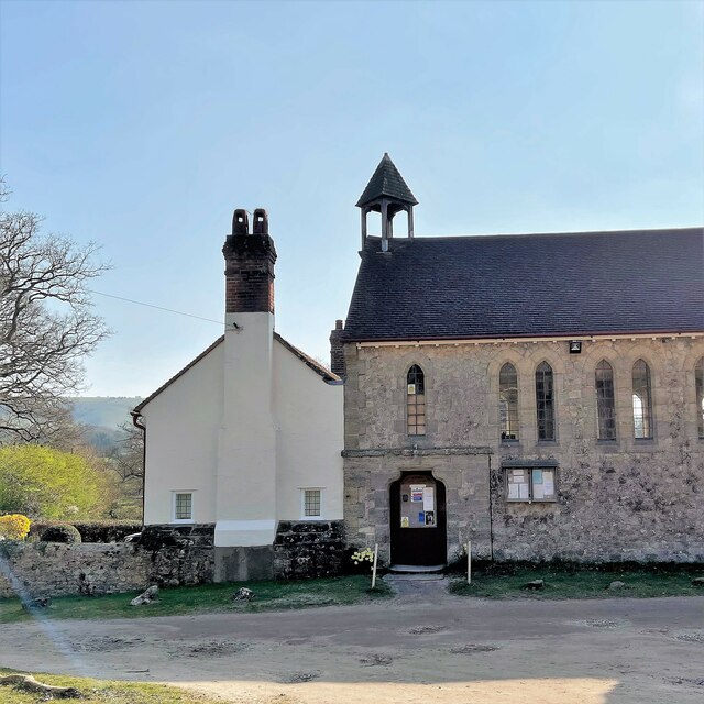
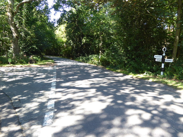
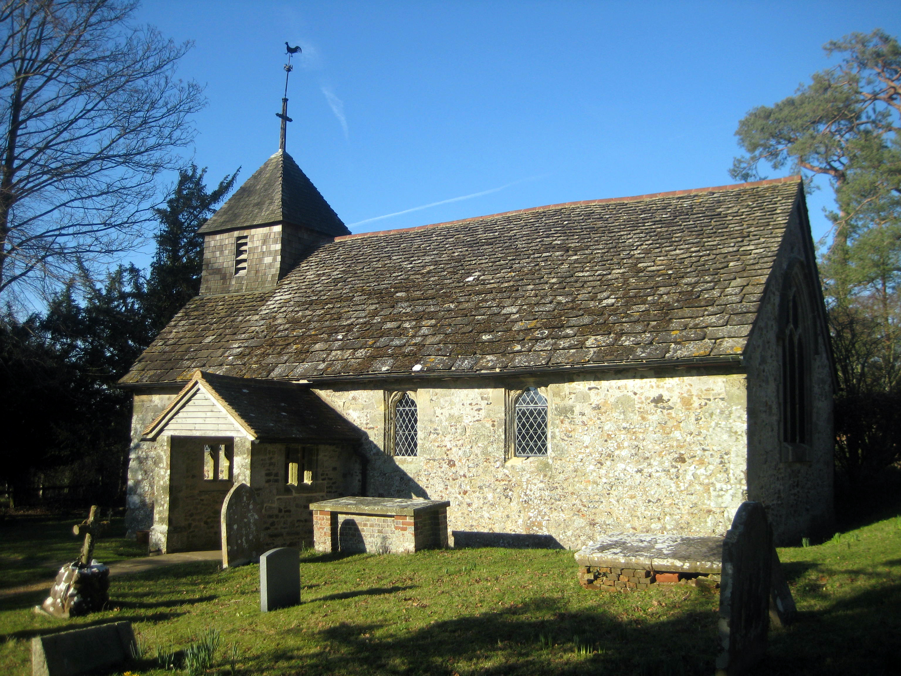
Greatham Church

Greatham Church (the dedication is unrecorded) is the Anglican parish church of the hamlet of Greatham in the district of Horsham, one of seven local government...

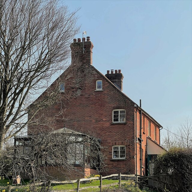
Greatham, West Sussex

Greatham ( GRET-əm) is a small village and former civil parish, now in the parish of Parham, in the Horsham district of West Sussex, England. It lies on...
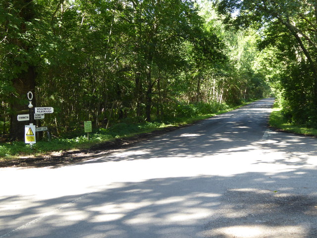
Wiggonholt

Wiggonholt is a village and former civil parish, now in the parish of Parham, in the Horsham district of West Sussex, England. It is 1.5 miles (2.4 km...

Nearby Amenities

Located within 500m of 50.923982,-0.503793
Rackham Street
Naptan AtcoCode: 4400HR0767
Naptan Bearing: N
Naptan BusStopType: CUS
Naptan CommonName: Rackham Street
Naptan Indicator: HAR
Naptan Landmark: Hail & Ride
Naptan NaptanCode: wsxdwgtg
Naptan Street: Rackham Street
Naptan Verified: no
Source: naptan_import
Lat/Long: 50.9211665/-0.5050842
Rackham Street
Naptan AtcoCode: 4400HR0768
Naptan Bearing: S
Naptan BusStopType: CUS
Naptan CommonName: Rackham Street
Naptan Indicator: HAR
Naptan Landmark: Hail & Ride
Naptan NaptanCode: wsxdwgtj
Naptan Street: Rackham Street
Naptan Verified: no
Source: naptan_import
Lat/Long: 50.9211292/-0.5049858
Rackham Street
Naptan AtcoCode: 4400HR0769
Naptan Bearing: N
Naptan BusStopType: CUS
Naptan CommonName: Rackham Street
Naptan Indicator: HAR
Naptan Landmark: Hail & Ride
Naptan NaptanCode: wsxdwgtm
Naptan Street: Rackham Street
Naptan Verified: no
Source: naptan_import
Lat/Long: 50.9252077/-0.5032329
Rackham Street
Naptan AtcoCode: 4400HR0770
Naptan Bearing: S
Naptan BusStopType: CUS
Naptan CommonName: Rackham Street
Naptan Indicator: HAR
Naptan Landmark: Hail & Ride
Naptan NaptanCode: wsxdwgtp
Naptan Street: Rackham Street
Naptan Verified: no
Source: naptan_import
Lat/Long: 50.9251877/-0.503077
Board Type: history
Information: board
Tourism: information
Lat/Long: 50.921504/-0.5045408
The data included in this document is from www.openstreetmap.org. The data is made available under ODbL.

Have you been to Parham?

Leave your review of Parham below (or comments, questions and feedback).