Dark Wood

Wood, Forest in Hertfordshire Dacorum

England

Dark Wood

Frogmore Paper Mill 2015 Unfortunately the River Gade is starting to get choked by plants.
Frogmore Paper Mill 2015 Credit: Paul Woolley

Dark Wood is a picturesque forest located in Hertfordshire, England. Spanning over an area of approximately 500 acres, it is known for its dense vegetation and tranquil atmosphere. The forest is situated near the village of Wood, contributing to its name.

Dark Wood is primarily composed of deciduous trees, including oak, beech, and ash. These towering trees create a dense canopy that filters sunlight, giving the forest its distinctive dark appearance. The forest floor is covered with a thick layer of fallen leaves, creating a magical carpet of colors during the autumn season.

The wood is home to a diverse range of wildlife, making it a popular destination for nature enthusiasts. Numerous bird species can be spotted in the forest, including woodpeckers, owls, and various songbirds. Squirrels and rabbits are also common sightings, scurrying through the undergrowth.

Several walking trails wind through the forest, offering visitors the opportunity to explore its natural beauty. These paths lead to hidden clearings, where one can find peace and solitude amidst the trees. In the spring, the forest comes alive with vibrant wildflowers, creating a stunning display of colors.

Dark Wood has a rich history, with evidence of human activity dating back hundreds of years. It is believed that the forest was once used for timber production and hunting grounds for the local nobility. Today, it is a protected area, ensuring the preservation of its natural heritage for generations to come.

If you have any feedback on the listing, please let us know in the comments section below.

Dark Wood Images

Images are sourced within 2km of 51.724727/-0.4721469 or Grid Reference TL0503. Thanks to Geograph Open Source API. All images are credited.

Frogmore Paper Mill 2015 Unfortunately the River Gade is starting to get choked by plants.
Frogmore Paper Mill 2015
Unfortunately the River Gade is starting to get choked by plants.
Frogmore Paper Mill under snow Frogmore Paper Mill in Winter
Frogmore Paper Mill under snow
Frogmore Paper Mill in Winter
Frogmore Paper Mill The sluice is partly opened to show visitors the water flowing through. The wheel will be rebuilt at a future date.
Frogmore Paper Mill
The sluice is partly opened to show visitors the water flowing through. The wheel will be rebuilt at a future date.
Evans Wharf, Apsley Close to Apsley Basin on the Grand Union Canal, hence the name.
Evans Wharf, Apsley
Close to Apsley Basin on the Grand Union Canal, hence the name.
Dickinson Quay, Apsley Looking towards Belswains Lane from Evans Wharf.
Dickinson Quay, Apsley
Looking towards Belswains Lane from Evans Wharf.
Chipperfield Road, Kings Langley Chipperfield Road heading into Kings Langley, in western Hertfordshire.
Chipperfield Road, Kings Langley
Chipperfield Road heading into Kings Langley, in western Hertfordshire.
Gate and footpath at Kings Langley
Chipperfield Road, Kings Langley Chipperfield Road in Kings Langley, in western Hertfordshire.
Chipperfield Road, Kings Langley
Chipperfield Road in Kings Langley, in western Hertfordshire.
Vicarage Lane, Kings Langley This image was taken in late September.  The leaves on the trees are starting to turn golden.
Vicarage Lane, Kings Langley
This image was taken in late September. The leaves on the trees are starting to turn golden.
Vicarage Lane, Kings Langley A view down Vicarage Lane in Kings Langley.
Vicarage Lane, Kings Langley
A view down Vicarage Lane in Kings Langley.
The Nap, Kings Langley The Nap in Kings Langley, in Hertfordshire.
The Nap, Kings Langley
The Nap in Kings Langley, in Hertfordshire.
Public footpath, Kings Langley A public footpath in Kings Langley, Hertfordshire.  Concrete bollards prevent cars from attempting to use the path.
Public footpath, Kings Langley
A public footpath in Kings Langley, Hertfordshire. Concrete bollards prevent cars from attempting to use the path.
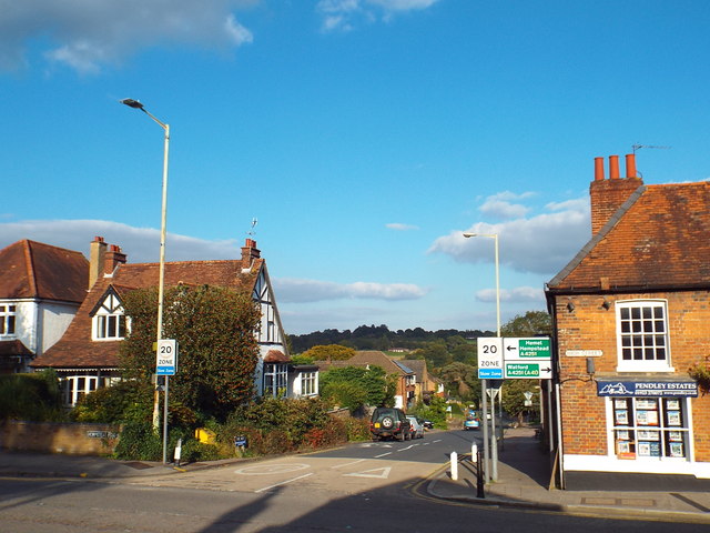
Hempstead Road, Kings Langley The electronic sign warns an approaching motorist to slow down as the road enters Kings Langley.
Hempstead Road, Kings Langley
The electronic sign warns an approaching motorist to slow down as the road enters Kings Langley.
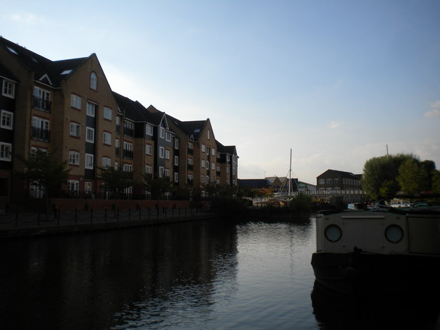
Apsley Basin, Apsley A sizable rectangular basin off the Grand Union Canal in Apsley, with mooring facilities for pleasure craft. The basin is surrounded on three sides by low rise blocks of flats, which contain a few ground floor retail units such as that occupied by a Premier convenience store visible in the distance here.
Apsley Basin, Apsley
A sizable rectangular basin off the Grand Union Canal in Apsley, with mooring facilities for pleasure craft. The basin is surrounded on three sides by low rise blocks of flats, which contain a few ground floor retail units such as that occupied by a Premier convenience store visible in the distance here.
Mixed use canalside development, Apsley A development of low rise flats with ground floor retail units next to the Grand Union Canal at Apsley Basin. At this end, the ground floor is occupied by Woodys, a vegetarian restaurant.
Mixed use canalside development, Apsley
A development of low rise flats with ground floor retail units next to the Grand Union Canal at Apsley Basin. At this end, the ground floor is occupied by Woodys, a vegetarian restaurant.
Footbridge over Grand Union Canal, Apsley
Grand Union Canal, Apsley
Apsley Station Apsley station opened in 1938, on the southern outskirts of Hemel Hempstead. One of two railway stations now serving the town, the other is Hemel Hempstead just up the line in Boxmoor.
The station is 23 miles  north west of London Euston on the West Coast Main Line. Apsley is managed and train services are operated by London Midland.
Apsley Station
Apsley station opened in 1938, on the southern outskirts of Hemel Hempstead. One of two railway stations now serving the town, the other is Hemel Hempstead just up the line in Boxmoor. The station is 23 miles north west of London Euston on the West Coast Main Line. Apsley is managed and train services are operated by London Midland.
Show me another place!

Dark Wood is located at Grid Ref: TL0503 (Lat: 51.724727, Lng: -0.4721469)

Administrative County: Hertfordshire

District: Dacorum

Police Authority: Hertfordshire

What 3 Words

///snail.over.gangs. Near Kings Langley, Hertfordshire

Related Wikis

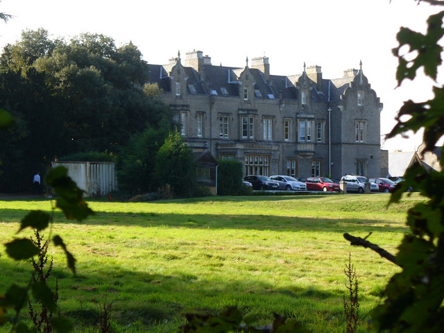
Shendish Manor

Shendish Manor is a country house at Apsley in Hertfordshire. == History == The history of Shendish Manor goes back to the 13th century when Ralf de Chenduit...

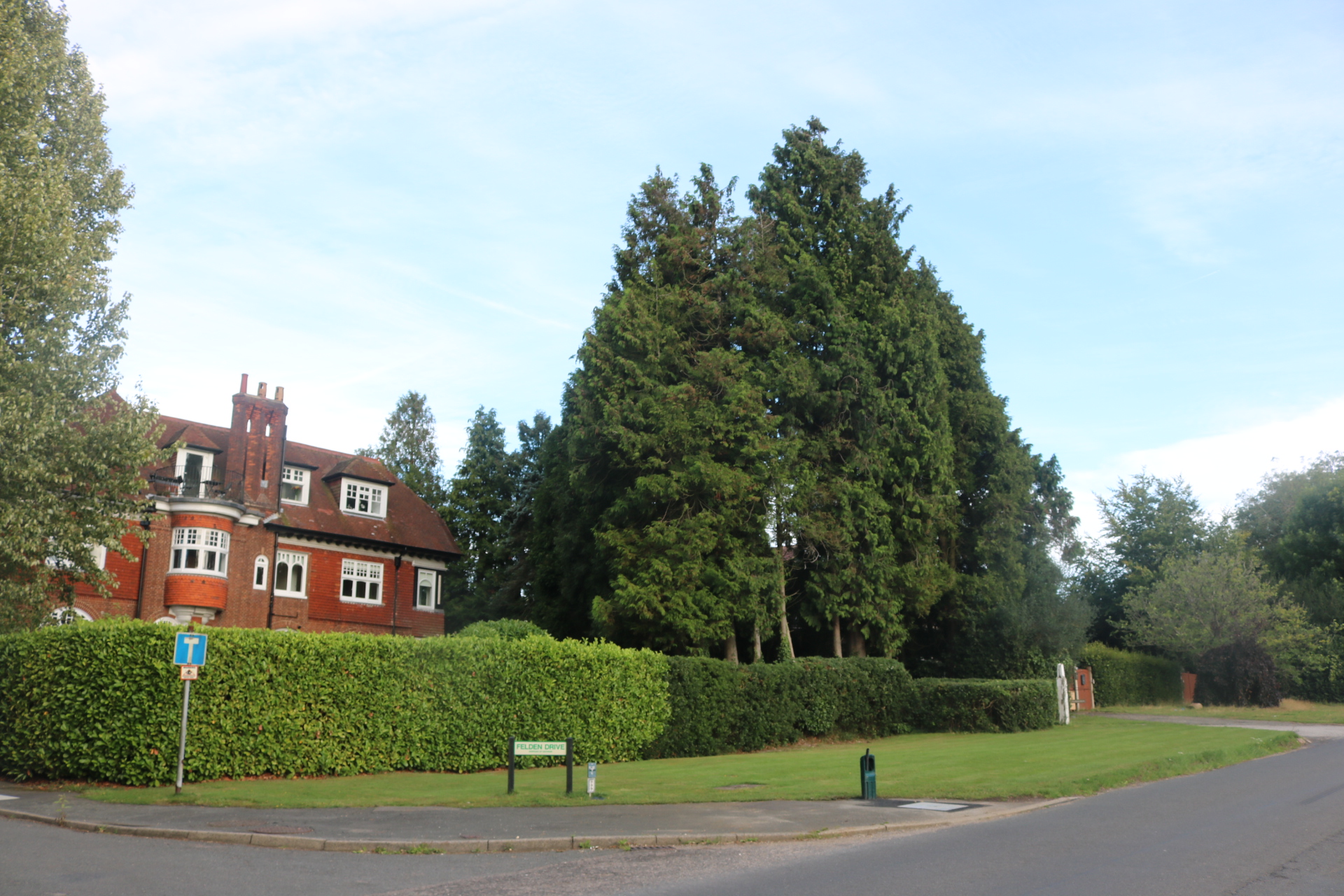
Felden

Felden is a semi-rural neighbourhood of Hemel Hempstead, Hertfordshire, situated to the south west of the town, close to the railway station. At the 2011...

Apsley railway station

Apsley railway station is in Apsley, on the southern outskirts of Hemel Hempstead, Hertfordshire, England. One of two railway stations now serving the...

Kings Langley School

Kings Langley School is a coeducational secondary school and sixth form with academy status, located in the village of Kings Langley in Hertfordshire,...

Nearby Amenities

Located within 500m of 51.724727,-0.4721469
Direction: 185
Generator Method: photovoltaic
Generator Output Electricity: yes
Generator Solar Modules: 16
Generator Source: solar
Generator Type: solar_photovoltaic_panel
Location: roof
Power: generator
Lat/Long: 51.7235485/-0.4678283
Parking
Access: yes
Fee: no
Parking: layby
Lat/Long: 51.7260007/-0.4750418
Parking
Access: yes
Fee: no
Parking: layby
Lat/Long: 51.7217302/-0.4725638
The data included in this document is from www.openstreetmap.org. The data is made available under ODbL.

Have you been to Dark Wood?

Leave your review of Dark Wood below (or comments, questions and feedback).