Hill Copse
Wood, Forest in Sussex Horsham
England
Hill Copse

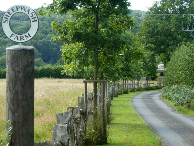
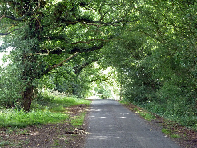
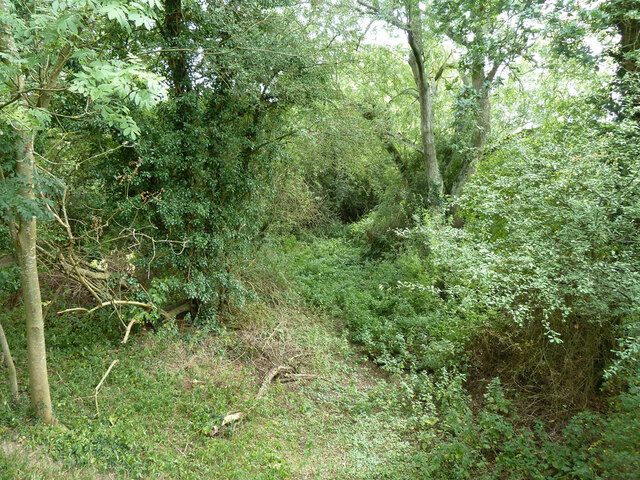
Hill Copse is a picturesque woodland located in Sussex, England. This serene forest spans over an area of approximately 100 acres and is known for its diverse flora and fauna. The copse is situated on a gently sloping hill, offering visitors breathtaking views of the surrounding countryside.
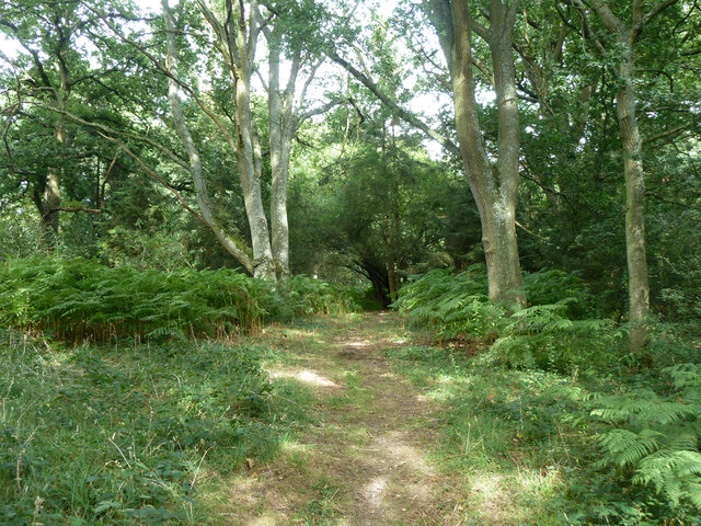
The woodland is primarily composed of native broadleaf trees, including oak, beech, and ash. These majestic trees create a dense canopy, providing shelter for a wide variety of wildlife. Visitors to Hill Copse may encounter various bird species, such as woodpeckers, owls, and thrushes, as well as small mammals like foxes, rabbits, and squirrels.
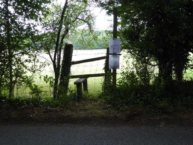
Tranquil walking trails wind their way through the copse, allowing visitors to immerse themselves in the natural beauty of the area. Along these paths, one can find an array of wildflowers, including bluebells, primroses, and wood anemones, which bloom in vibrant colors during the spring.
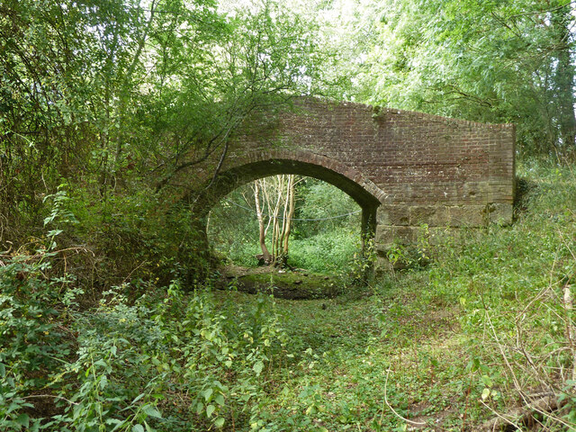
Hill Copse also holds historical significance, as remnants of ancient settlements and burial mounds can be found within its boundaries. Archaeological discoveries suggest that the copse has been inhabited for thousands of years, adding a sense of mystique to this enchanting woodland.
Whether visitors are nature enthusiasts, history buffs, or simply seeking a peaceful retreat, Hill Copse offers a tranquil and captivating experience. Its natural beauty, diverse wildlife, and historical significance make it a cherished destination for both locals and tourists alike.
If you have any feedback on the listing, please let us know in the comments section below.
Hill Copse Images
Images are sourced within 2km of 50.973124/-0.50119955 or Grid Reference TQ0520. Thanks to Geograph Open Source API. All images are credited.


Hill Copse is located at Grid Ref: TQ0520 (Lat: 50.973124, Lng: -0.50119955)
Administrative County: West Sussex
District: Horsham
Police Authority: Sussex
What 3 Words
///coil.provider.wishes. Near Pulborough, West Sussex
Nearby Locations
Related Wikis

Codmore Hill
Codmore Hill is a hamlet in the Horsham District of West Sussex, England. It lies on the A29 road 1 mile (1.6 km) north of Pulborough. It is in the civil...

Pulborough
Pulborough is a large village and civil parish in the Horsham district of West Sussex, England, with some 5,000 inhabitants. It is located almost centrally...
North Heath
North Heath is a hamlet in the Horsham District of West Sussex, England. It lies just off the A29 road 1.9 miles (3 km) north of Pulborough. The Brinsbury...

Upper Arun
Upper Arun is a 17.6-hectare (43-acre) biological Site of Special Scientific Interest between Billingshurst and Pulborough in West Sussex.This 13-kilometre...

Park Farm Cutting
Park Farm Cutting is a 0.2-hectare (0.49-acre) geological Site of Special Scientific Interest west of Pulborough in West Sussex. It is a Geological Conservation...

Pulborough (electoral division)
Pulborough is an electoral division of West Sussex in the United Kingdom and returns one member to sit on West Sussex County Council. The current County...

Marehill Quarry
Marehill Quarry is a 1.1-hectare (2.7-acre) geological Site of Special Scientific Interest east of Pulborough in West Sussex. It is owned and managed...
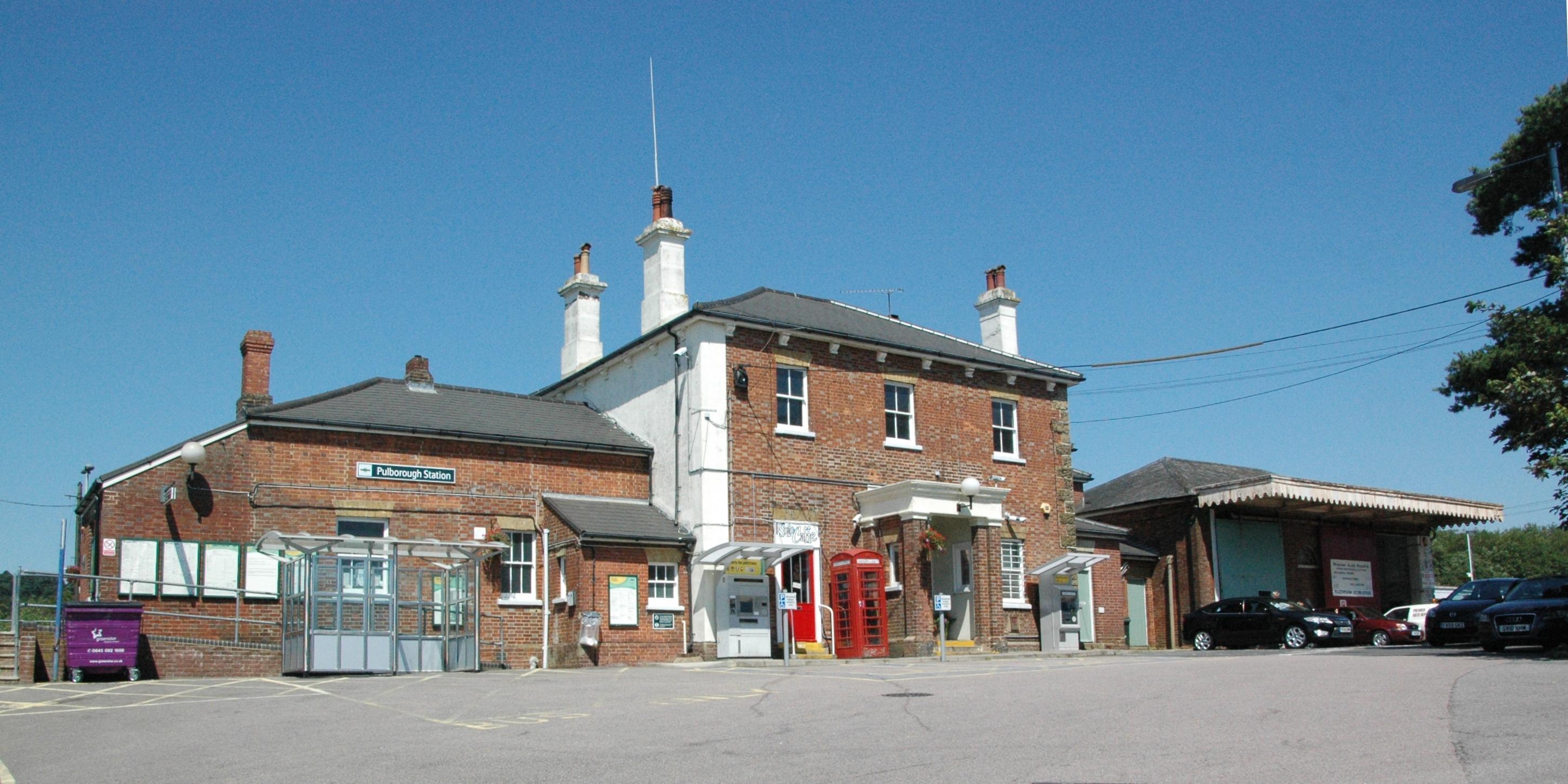
Pulborough railway station
Pulborough railway station serves the West Sussex village of Pulborough. It is at the western end of the village, just off the A283 road. It is 50 miles...
Nearby Amenities
Located within 500m of 50.973124,-0.50119955Have you been to Hill Copse?
Leave your review of Hill Copse below (or comments, questions and feedback).