Codmore Hill
Settlement in Sussex Horsham
England
Codmore Hill

Codmore Hill is a small village located in the county of Sussex, England. Situated in the south of the county, it lies approximately 12 miles to the west of the city of Brighton and Hove. The village is nestled on a gently sloping hillside, offering picturesque views of the surrounding countryside.
With a population of around 200 residents, Codmore Hill maintains its rural charm and tranquility. The village is largely characterized by its traditional cottages made of local stone, which add to its historic appeal. The community is known for its close-knit nature, with residents actively involved in various village initiatives and events.
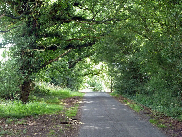
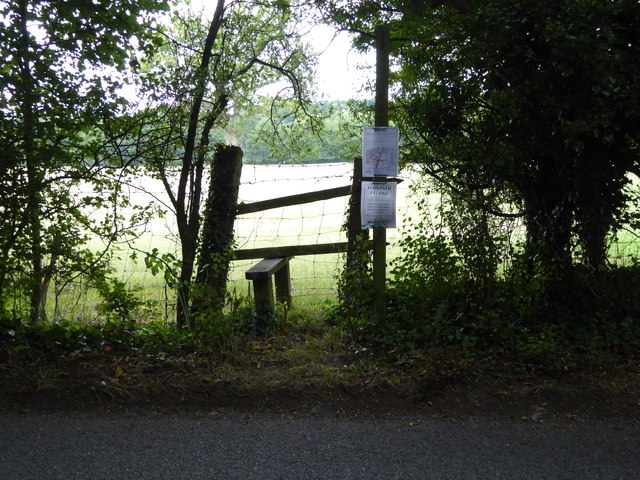
The village is surrounded by lush green fields, making it an ideal location for those seeking a peaceful countryside setting. Codmore Hill benefits from its proximity to the South Downs National Park, which offers ample opportunities for outdoor activities such as hiking, cycling, and horse riding.
Despite its small size, Codmore Hill has a few amenities to cater to its residents. These include a village hall, a local pub serving traditional British fare, and a small convenience store. For more extensive amenities, the nearby town of Henfield is easily accessible, providing a wider range of shops, supermarkets, and services.
Overall, Codmore Hill offers a serene and idyllic setting for those looking to escape the hustle and bustle of city life and enjoy the beauty of the Sussex countryside.
If you have any feedback on the listing, please let us know in the comments section below.
Codmore Hill Images
Images are sourced within 2km of 50.970996/-0.494534 or Grid Reference TQ0520. Thanks to Geograph Open Source API. All images are credited.


Codmore Hill is located at Grid Ref: TQ0520 (Lat: 50.970996, Lng: -0.494534)
Administrative County: West Sussex
District: Horsham
Police Authority: Sussex
What 3 Words
///joystick.mildest.country. Near Pulborough, West Sussex
Nearby Locations
Related Wikis

Codmore Hill
Codmore Hill is a hamlet in the Horsham District of West Sussex, England. It lies on the A29 road 1 mile (1.6 km) north of Pulborough. It is in the civil...

Pulborough (electoral division)
Pulborough is an electoral division of West Sussex in the United Kingdom and returns one member to sit on West Sussex County Council. The current County...
North Heath
North Heath is a hamlet in the Horsham District of West Sussex, England. It lies just off the A29 road 1.9 miles (3 km) north of Pulborough. The Brinsbury...

Pulborough
Pulborough is a large village and civil parish in the Horsham district of West Sussex, England, with some 5,000 inhabitants. It is located almost centrally...

Marehill Quarry
Marehill Quarry is a 1.1-hectare (2.7-acre) geological Site of Special Scientific Interest east of Pulborough in West Sussex. It is owned and managed...
Marehill
Marehill is a hamlet in the Horsham District of West Sussex, England. It lies on the A283 road 0.6 miles (1 km) east of Pulborough. == External links... ==
Nutbourne, Horsham
Nutbourne is a hamlet running north–south situated 1.5 miles (2.4 km) east of Pulborough in the Horsham District of West Sussex and is in Pulborough civil...
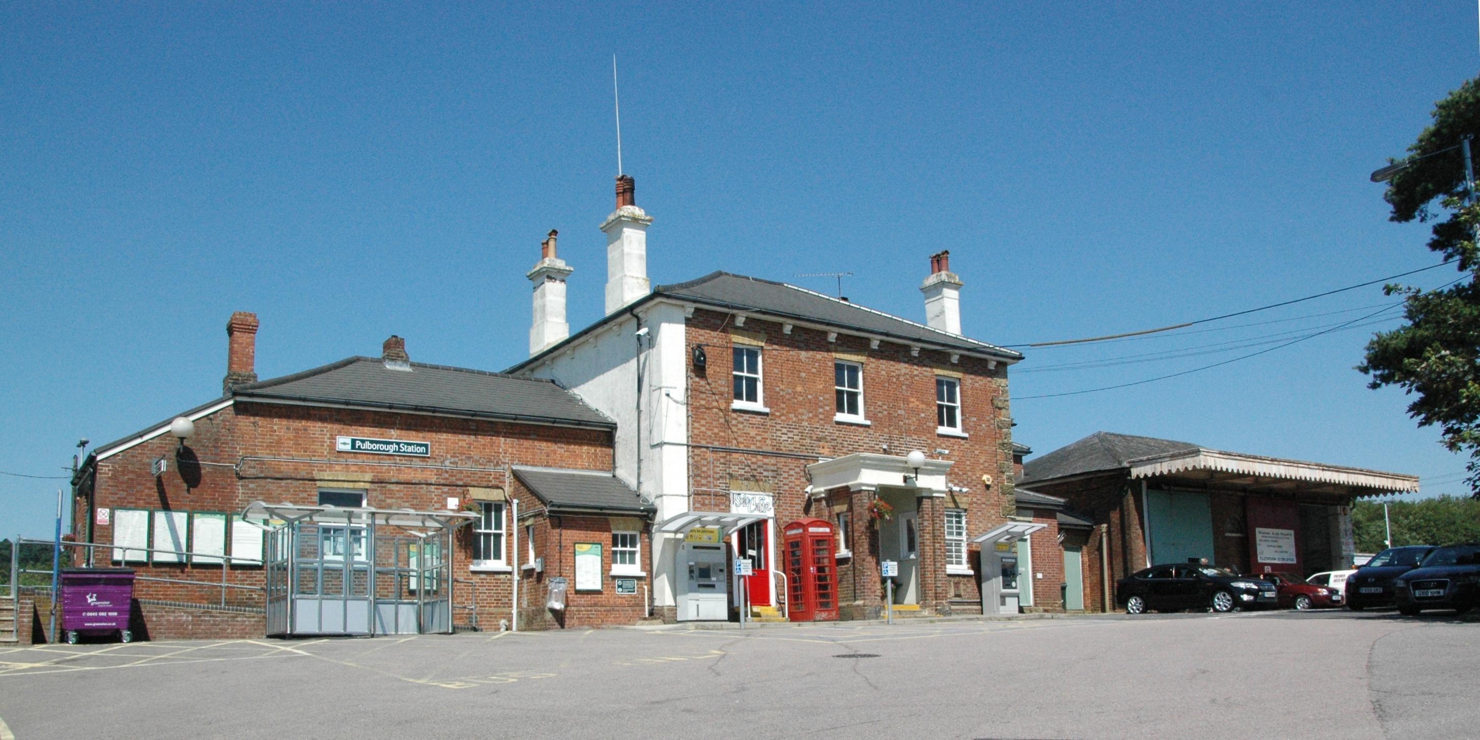
Pulborough railway station
Pulborough railway station serves the West Sussex village of Pulborough. It is at the western end of the village, just off the A283 road. It is 50 miles...
Nearby Amenities
Located within 500m of 50.970996,-0.494534Have you been to Codmore Hill?
Leave your review of Codmore Hill below (or comments, questions and feedback).