Whithurst Copse
Wood, Forest in Sussex Chichester
England
Whithurst Copse
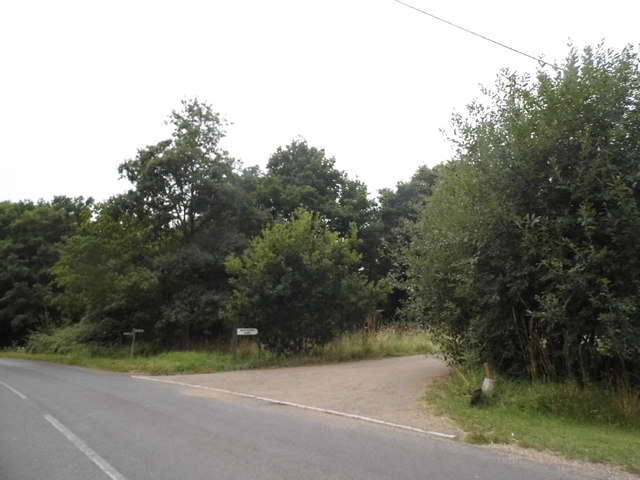
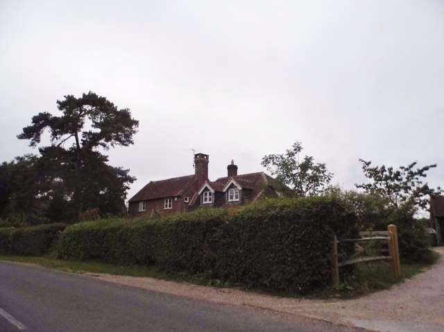
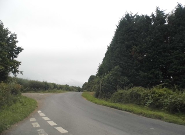
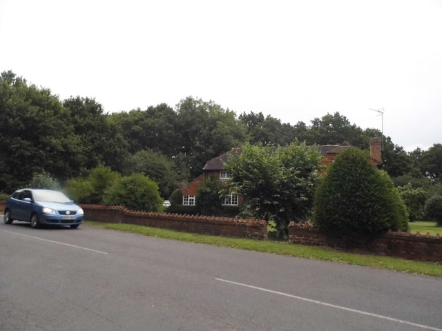
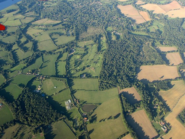
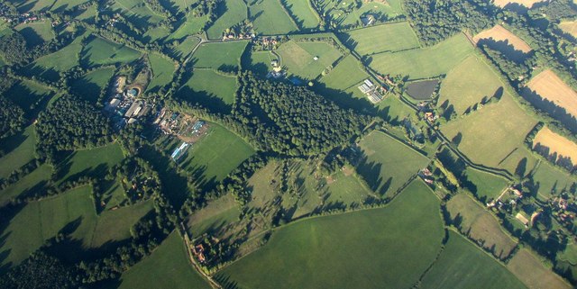
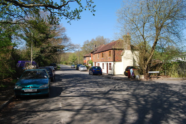
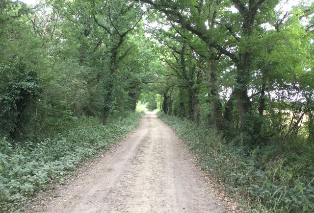
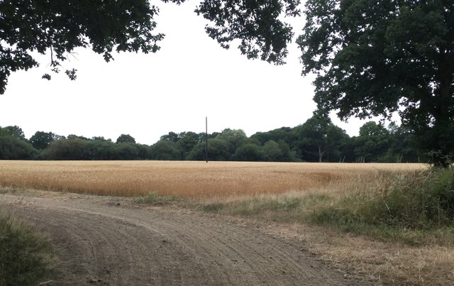
Whithurst Copse is a picturesque woodland located in the county of Sussex, England. Covering an area of approximately 100 acres, this ancient woodland is a haven of natural beauty and biodiversity. The copse is situated in the heart of Sussex, surrounded by rolling hills and quaint villages, making it a popular destination for nature enthusiasts and hikers.
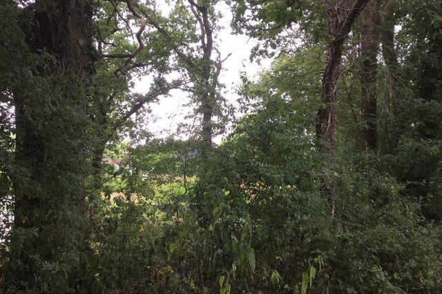
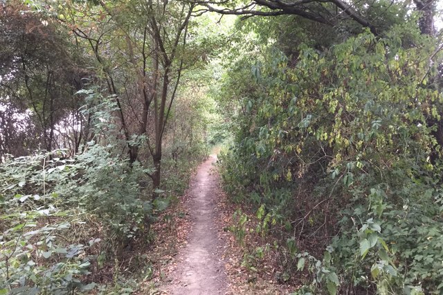
The woodland primarily consists of a mix of broadleaf trees, including oak, beech, and ash, which create a dense and verdant canopy. These towering trees provide shelter and food for a variety of wildlife, including woodland birds, deer, and small mammals. The forest floor is adorned with a carpet of wildflowers, adding a burst of color to the landscape during the spring and summer months.
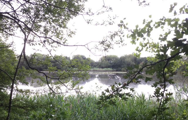
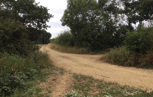
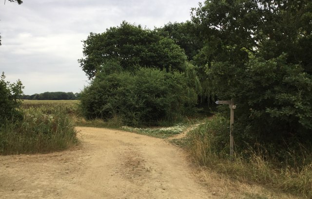
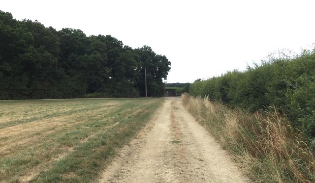
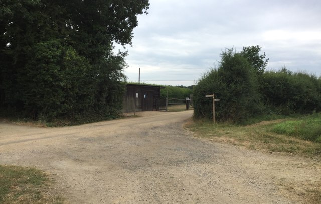
Whithurst Copse is crisscrossed by a network of well-maintained trails, allowing visitors to explore the woodland at their leisure. These trails wind through the trees, offering glimpses of sun-dappled clearings and babbling brooks. The copse is also home to a small pond, which attracts a variety of aquatic species, including frogs and dragonflies.
Beyond its natural beauty, Whithurst Copse holds historical significance as well. It is believed that the woodland has been in existence for centuries, with some sections dating back to medieval times. This rich history can be seen in the remnants of old boundary walls and the presence of ancient trees that have withstood the test of time.
Overall, Whithurst Copse is a tranquil and enchanting woodland, offering visitors a chance to reconnect with nature and experience the timeless beauty of the Sussex countryside.
If you have any feedback on the listing, please let us know in the comments section below.
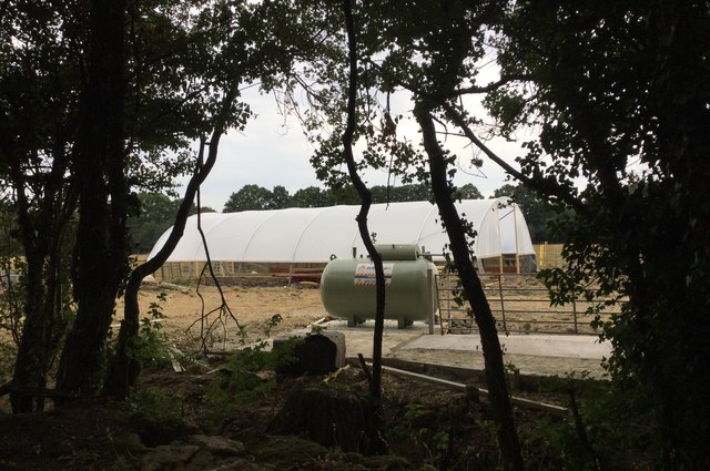
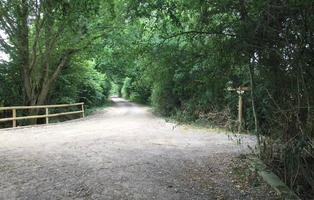
Whithurst Copse Images
Images are sourced within 2km of 51.047857/-0.55859375 or Grid Reference TQ0128. Thanks to Geograph Open Source API. All images are credited.
Whithurst Copse is located at Grid Ref: TQ0128 (Lat: 51.047857, Lng: -0.55859375)
Administrative County: West Sussex
District: Chichester
Police Authority: Sussex
What 3 Words
///booklets.vast.flipping. Near Petworth, West Sussex
Nearby Locations
Related Wikis

St Ronan's School
Saint Ronan's School is an independent co-educational preparatory school for boys and girls from 3 to 13 years located in Hawkhurst in Kent, England. It...

Kirdford
Kirdford is a village and civil parish in the Chichester District of West Sussex, England. Its nearest town is Petworth, located 6.5 miles (10.5 km) southwest...

Plaistow, West Sussex
Plaistow ( PLAST-oh) is a village and civil parish in the north of the Chichester District of West Sussex, England. There is a village green, a recreation...
Ifold
Ifold is a hamlet in West Sussex and part of the civil Parish of Plaistow, of which it is the largest settlement. Ifold is classified as a hamlet, because...

Petworth (electoral division)
Petworth is an electoral division of West Sussex in the United Kingdom, and returns one member to sit on West Sussex County Council. == Extent == The division...
Loxwood F.C.
Loxwood Football Club is a football club based in Loxwood, West Sussex, England. Nicknamed "The Magpies" and affiliated to the Surrey County FA, they are...

Ebernoe Horn Fair
Ebernoe Horn Fair is held in the small Sussex village of Ebernoe, the location of which is about five miles north of Petworth (grid reference SU975280...

Ebernoe
Ebernoe is a hamlet and civil parish in the District of Chichester in West Sussex, England, and 4 miles (6 km) north of Petworth near the A283 road. The...
Nearby Amenities
Located within 500m of 51.047857,-0.55859375Have you been to Whithurst Copse?
Leave your review of Whithurst Copse below (or comments, questions and feedback).