Larch Plantation

Wood, Forest in Lincolnshire North Kesteven

England

Larch Plantation

Beet Harvest Washed and waiting to be uplifted by the lorry to the Beet Factory
Beet Harvest Credit: Bob Harvey

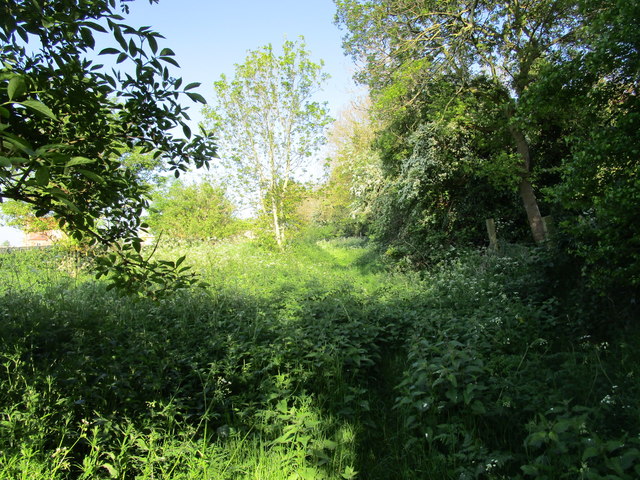
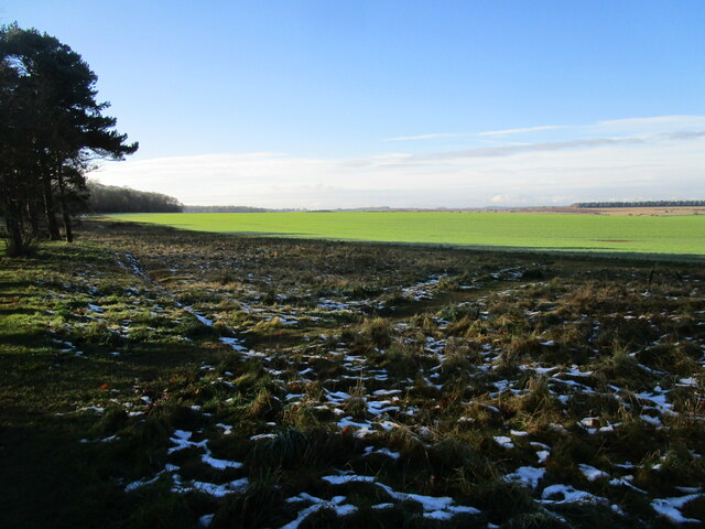
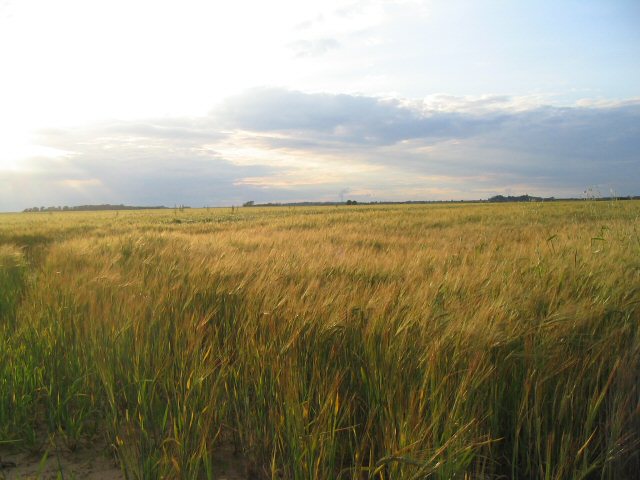
Larch Plantation, located in Lincolnshire, is a vast woodland area known for its impressive collection of larch trees. This plantation covers a significant area of the county, offering a serene and picturesque landscape for visitors and nature enthusiasts.

The larch trees, which are the dominant species in the plantation, create an awe-inspiring sight with their tall, slender trunks and vibrant green foliage. This coniferous species is native to the mountains of Europe and is renowned for its adaptability and fast growth. The plantation boasts a variety of larch species, including the European larch (Larix decidua) and the Japanese larch (Larix kaempferi), providing a diverse and visually appealing environment.

The woodland offers an ideal habitat for various wildlife species, including birds, mammals, and insects. Birdwatchers can observe a range of species, from small songbirds to larger birds of prey, while nature enthusiasts may spot rabbits, deer, and squirrels roaming freely within the plantation. Additionally, the plantation is home to several rare and protected species, making it a significant conservation area.

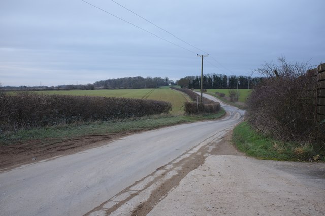
Larch Plantation is a popular destination for leisure activities such as hiking, photography, and picnicking. Numerous trails wind through the woodland, allowing visitors to explore and appreciate the natural beauty of the area. The plantation also provides a peaceful and tranquil setting, offering a respite from the hustle and bustle of city life.

Overall, Larch Plantation in Lincolnshire is a remarkable woodland area, showcasing the beauty of larch trees and offering a haven for wildlife and outdoor enthusiasts alike.

If you have any feedback on the listing, please let us know in the comments section below.

Larch Plantation Images

Images are sourced within 2km of 53.0452/-0.49287627 or Grid Reference TF0150. Thanks to Geograph Open Source API. All images are credited.

Beet Harvest Washed and waiting to be uplifted by the lorry to the Beet Factory
Beet Harvest
Washed and waiting to be uplifted by the lorry to the Beet Factory
Farmland near Brauncewell
A minor road
A minor road
Looking toward Moor Wood
Looking toward Leadenham
Disputed footpath Marked as a footpath on older OS maps but not on more recent ones. Nonetheless it is waymarked from the western end and stiles are in place. However it is little used (four stiles in a very short distance is not encouraging) and the landowner is seeking to have it formally closed. An alternative permissive path a little to the north is available.
Disputed footpath
Marked as a footpath on older OS maps but not on more recent ones. Nonetheless it is waymarked from the western end and stiles are in place. However it is little used (four stiles in a very short distance is not encouraging) and the landowner is seeking to have it formally closed. An alternative permissive path a little to the north is available.
Autumn sown crop near Brauncewell
Sugar beet loading area Waiting for the call to the Newark sugar factory.
Sugar beet loading area
Waiting for the call to the Newark sugar factory.
Snow by the path under the trees Snow fell on 4th December and most quickly disappeared but some still lingers here 48 hours after it fell.
Snow by the path under the trees
Snow fell on 4th December and most quickly disappeared but some still lingers here 48 hours after it fell.
Autumn sown crop Lord Bristol's Plantation on the left. A little snow lingering from two days ago.
Autumn sown crop
Lord Bristol's Plantation on the left. A little snow lingering from two days ago.
Bridleway to Cranwell This surfaced bridleway leads to RAF Cranwell which is just beyond the trees on the horizon.
Bridleway to Cranwell
This surfaced bridleway leads to RAF Cranwell which is just beyond the trees on the horizon.
Rolling Stubble These fields south of Brauncewell have a deep but dry valley passing through them.
Rolling Stubble
These fields south of Brauncewell have a deep but dry valley passing through them.
Footpath to Temple Bruer This footpath links Brauncewell with Temple Bruer to the north.
Footpath to Temple Bruer
This footpath links Brauncewell with Temple Bruer to the north.
Footpath to the A15 A footpath leads across this field to the east of Brauncewell and merges with two others which them lead to the A15.
Footpath to the A15
A footpath leads across this field to the east of Brauncewell and merges with two others which them lead to the A15.
Tree-Lined area in Thorold Avenue, Cranwell There are fields beyond and to the north of this nicely situated small row of bungalows
Tree-Lined area in Thorold Avenue, Cranwell
There are fields beyond and to the north of this nicely situated small row of bungalows
Terraced house at 24 Thorold Avenue, Cranwell Typical of most houses on this stretch of the street
Terraced house at 24 Thorold Avenue, Cranwell
Typical of most houses on this stretch of the street
Airfield to North of Main RAF Cranwell Air Base Generally used for Gliders now.  Once used as base for Sea Scout Airships.
Airfield to North of Main RAF Cranwell Air Base
Generally used for Gliders now. Once used as base for Sea Scout Airships.
Farmland near Brauncewell, Lincs A featureless grid square containing only growing crops.
Farmland near Brauncewell, Lincs
A featureless grid square containing only growing crops.
Show me another place!

Larch Plantation is located at Grid Ref: TF0150 (Lat: 53.0452, Lng: -0.49287627)

Administrative County: Lincolnshire

District: North Kesteven

Police Authority: Lincolnshire

What 3 Words

///cabbies.reporting.reactions. Near Cranwell, Lincolnshire

Nearby Locations

Larch Plantation

Related Wikis

Sleaford and North Hykeham (UK Parliament constituency)

Sleaford and North Hykeham is a parliamentary constituency in Lincolnshire, England which elects a single Member of Parliament (MP) to the House of Commons...

Brauncewell

Brauncewell is a hamlet and former civil parish in the North Kesteven district of Lincolnshire, England. From the census 2011 the population is included...

Royal Air Force College Cranwell

The Royal Air Force College (RAFC) is the Royal Air Force military academy which provides initial training to all RAF personnel who are preparing to become...

Central Flying School

The Central Flying School (CFS) is the Royal Air Force's primary institution for the training of military flying instructors. Established in 1912 at the...

Nearby Amenities

Located within 500m of 53.0452,-0.49287627
Barrier: block
Bicycle: yes
Foot: yes
Horse: yes
Lat/Long: 53.0476404/-0.4991637
Aeroway: windsock
Lat/Long: 53.0482523/-0.4887737
The data included in this document is from www.openstreetmap.org. The data is made available under ODbL.

Have you been to Larch Plantation?

Leave your review of Larch Plantation below (or comments, questions and feedback).