Charlies Belt
Wood, Forest in Lincolnshire South Kesteven
England
Charlies Belt
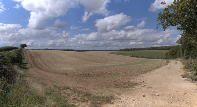
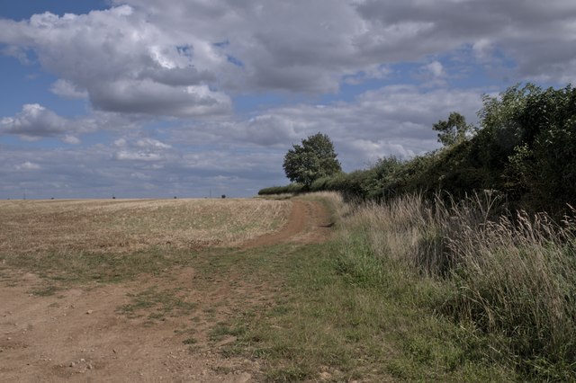
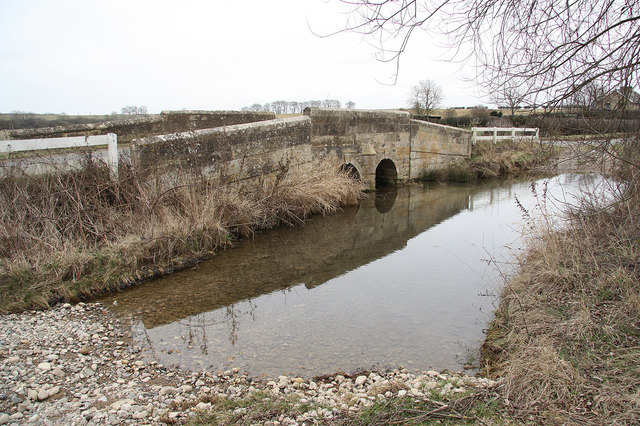
Located in the county of Lincolnshire, England, Charlie's Belt is a picturesque woodland area known for its natural beauty and rich history. Spanning over several acres, this forested region is a popular destination for nature enthusiasts and history buffs alike.
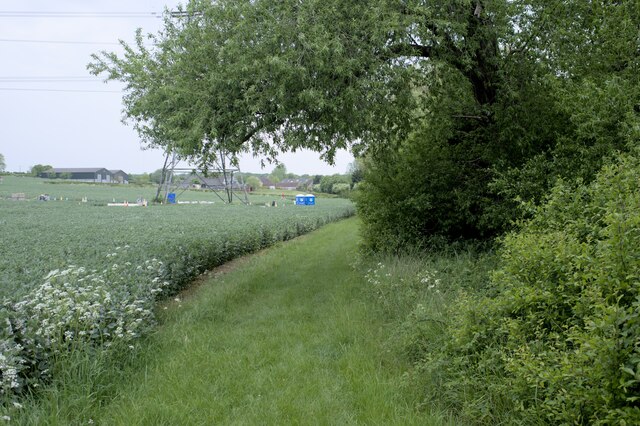
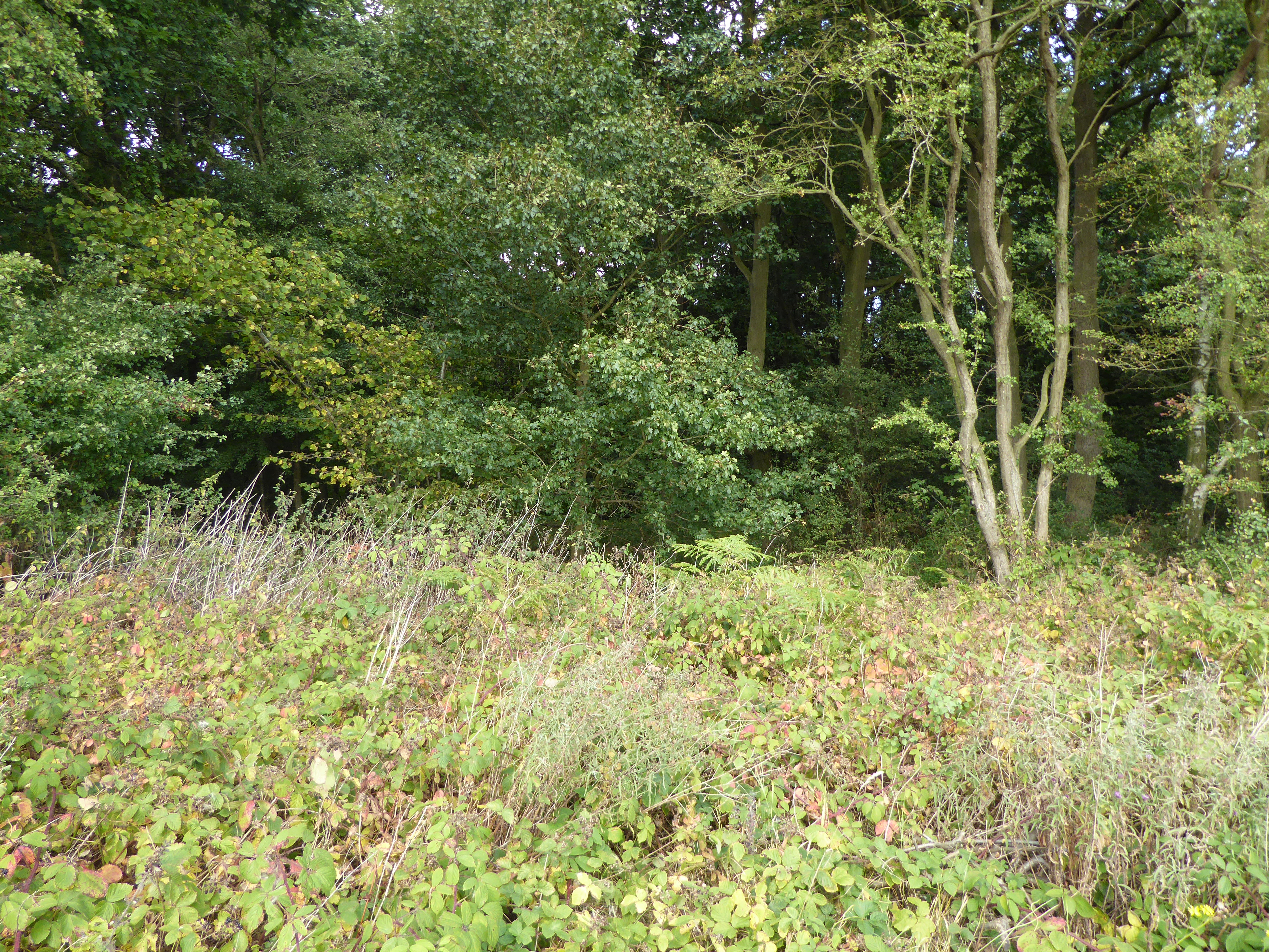
Charlie's Belt is characterized by its dense woodland, featuring a diverse range of tree species such as oak, beech, and birch. The forest boasts a tranquil atmosphere, making it an ideal spot for hiking, walking, and birdwatching. Visitors can explore the numerous trails that wind through the woods, immersing themselves in the stunning natural surroundings.
The area's historical significance can be traced back to ancient times, as remnants of prehistoric settlements have been discovered in the vicinity. Archaeological excavations have unearthed various artifacts, including pottery and tools, shedding light on the early human activity in the region.
Furthermore, Charlie's Belt played a crucial role during the medieval period, serving as a hunting ground for local nobility. The forest was utilized for game hunting and provided a source of timber for construction. Today, remnants of old hunting lodges and deer enclosures can still be seen within the woodland, offering glimpses into its past.
In recent years, Charlie's Belt has become a popular destination for outdoor activities and recreational pursuits. The forest is equipped with well-maintained picnic areas, allowing visitors to relax and enjoy the serenity of their surroundings. Additionally, the presence of a variety of wildlife, including deer, foxes, and birds, enhances the experience for nature enthusiasts.
Overall, Charlie's Belt in Lincolnshire is a captivating destination that combines natural beauty with historical significance. Its lush woodland, ancient artifacts, and recreational facilities make it a must-visit location for those seeking a peaceful retreat or an exploration of the area's past.
If you have any feedback on the listing, please let us know in the comments section below.
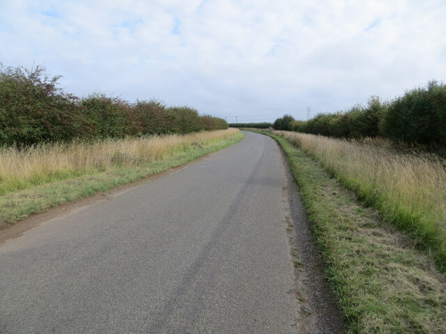
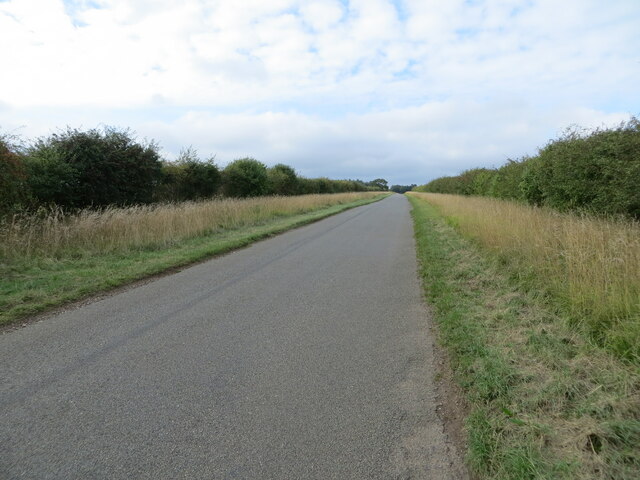
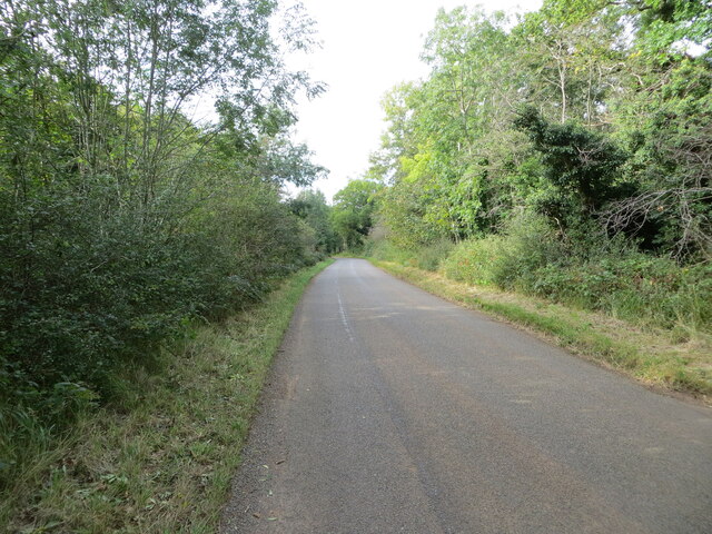
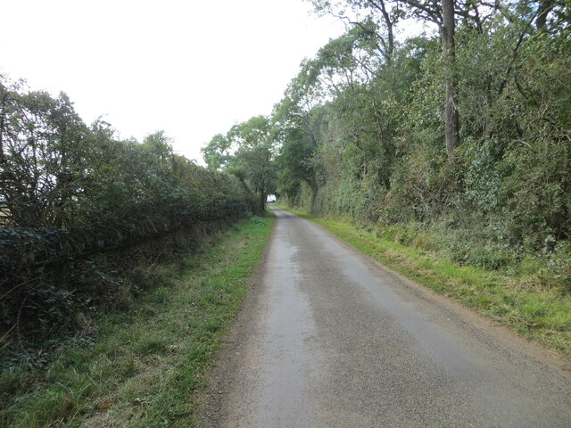
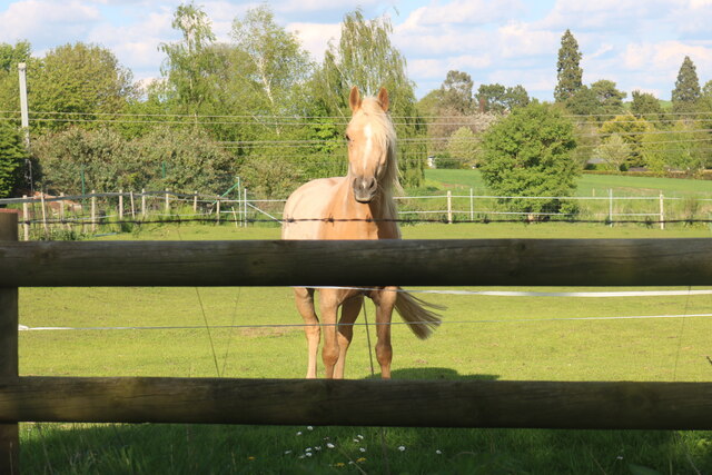
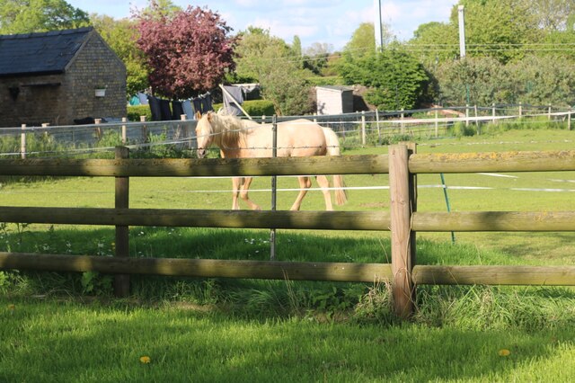
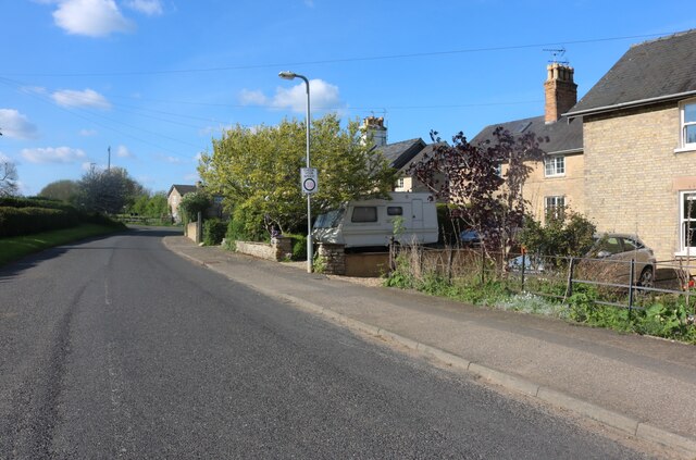
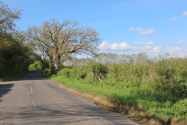
Charlies Belt Images
Images are sourced within 2km of 52.725109/-0.50673448 or Grid Reference TF0015. Thanks to Geograph Open Source API. All images are credited.


Charlies Belt is located at Grid Ref: TF0015 (Lat: 52.725109, Lng: -0.50673448)
Administrative County: Lincolnshire
District: South Kesteven
Police Authority: Lincolnshire
What 3 Words
///pull.admiral.tarnished. Near Pickworth, Rutland
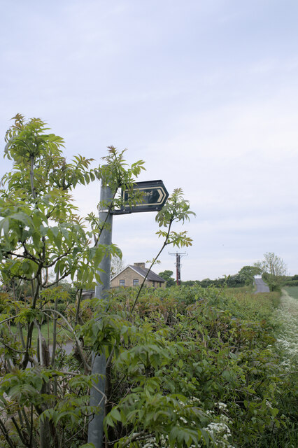
Nearby Locations
Related Wikis
Holywell, Lincolnshire
Holywell is a tiny settlement in the civil parish of Careby Aunby and Holywell, in the South Kesteven district of Lincolnshire, England. It lies 5.5 miles...

Careby Aunby and Holywell
Careby Aunby and Holywell is a civil parish in the district of South Kesteven, south-west Lincolnshire, in England. It stretches from the county border...
Newell Wood
Newell Wood is a 33.3-hectare (82-acre) biological Site of Special Scientific Interest east of Pickworth in Rutland, adjacent to Lincolnshire Gate. This...

Lincolnshire Gate
Lincolnshire Gate is the name given to a corner in the road between Holywell, Lincolnshire and Pickworth, Rutland to the south-west of Castle Bytham, in...
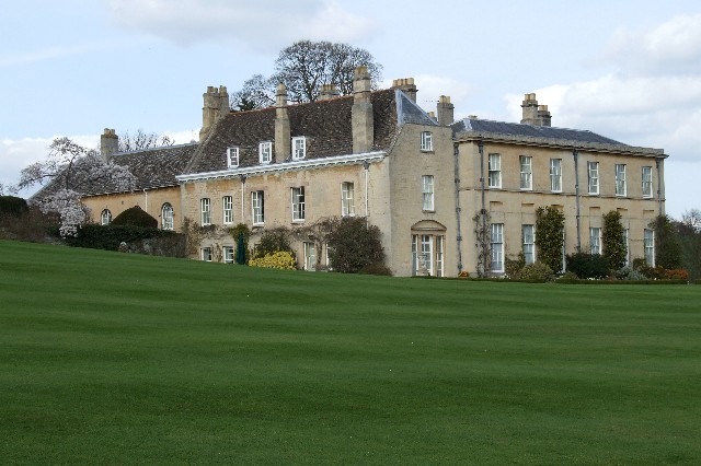
Holywell Hall, Lincolnshire
Holywell Hall is a building of historical significance in Lincolnshire and is listed on the English Heritage Register. The house is in the civil parish...
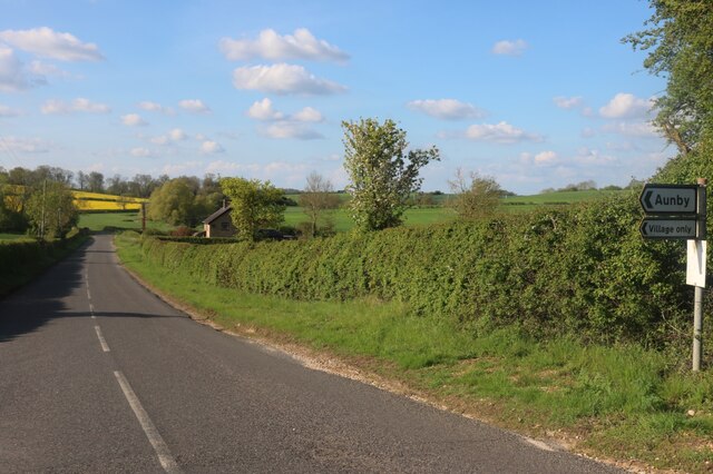
Aunby
Aunby is a village in the parish of Careby Aunby and Holywell, in the South Kesteven district of Lincolnshire, England. It is situated north from Stamford...

Careby
Careby is the principal village in the a civil parish of Careby Aunby and Holywell [in which the population is included] in the South Kesteven district...

Ryhall Pasture and Little Warren Verges
Ryhall Pasture and Little Warren Verges is a 6.2-hectare (15-acre) biological Site of Special Scientific Interest north of the village of Ryhall. Little...
Have you been to Charlies Belt?
Leave your review of Charlies Belt below (or comments, questions and feedback).