Alder Spinney
Wood, Forest in Bedfordshire
England
Alder Spinney
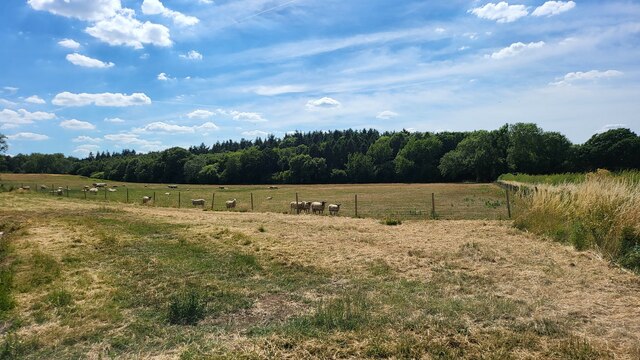
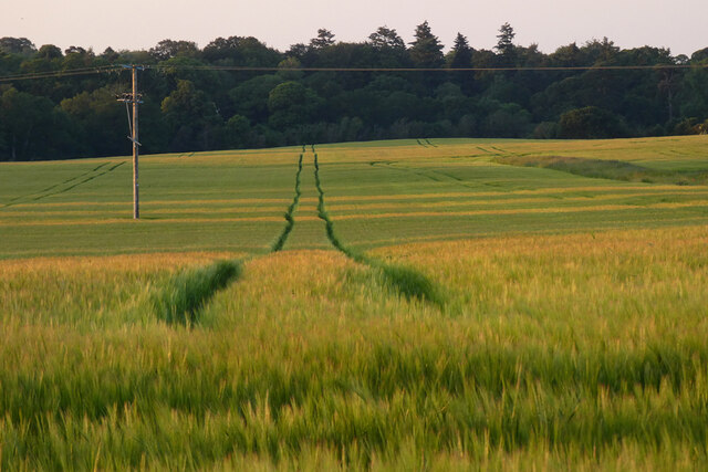
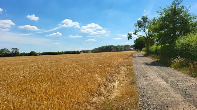
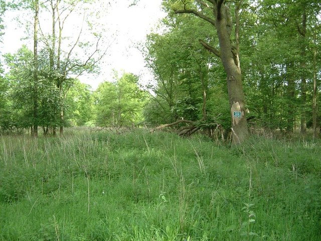
Alder Spinney is a quaint woodland located in the county of Bedfordshire, England. Nestled in the heart of the county, this enchanting forest is known for its serene atmosphere and captivating natural beauty. Spanning over several acres, Alder Spinney is home to a diverse range of trees, with its namesake alder trees being particularly prominent.
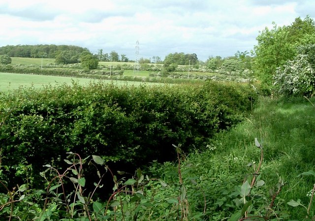
The forest boasts a rich ecosystem, providing a habitat for various species of wildlife. Visitors can expect to encounter a plethora of creatures, including squirrels, rabbits, and a variety of bird species. The peaceful ambiance of Alder Spinney makes it a popular spot for birdwatching enthusiasts, seeking solace in the tranquility of nature.
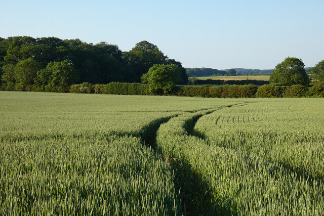
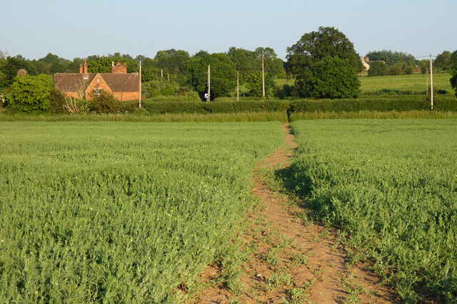
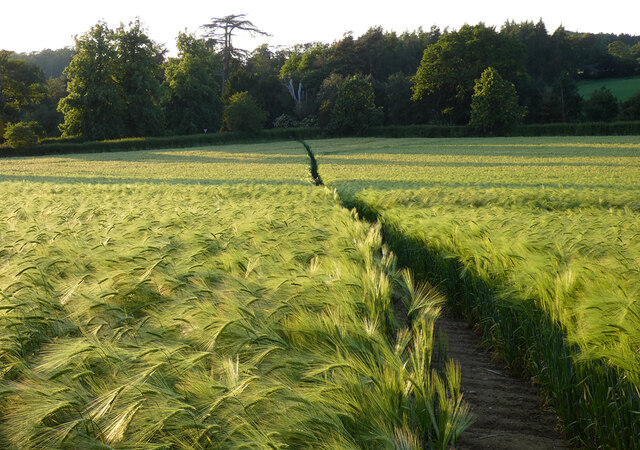
A network of well-maintained footpaths winds through the forest, offering visitors the opportunity to explore its hidden wonders. As one traverses the paths, they will encounter babbling brooks, small clearings, and occasional wildflowers adding a burst of color to the greenery. These pathways cater to both leisurely strolls and more adventurous hikes, making Alder Spinney an ideal destination for individuals of all ages and fitness levels.
Nature lovers will also appreciate the educational aspect of Alder Spinney, as informative signposts are scattered throughout the forest, providing insights into the various tree species and wildlife that call this woodland home. These signs offer visitors a chance to deepen their understanding and appreciation of the natural world.
A visit to Alder Spinney is a captivating and rejuvenating experience, allowing individuals to connect with nature and escape the hustle and bustle of everyday life. Whether seeking solace, embarking on an adventure, or simply enjoying the serenity of the forest, Alder Spinney in Bedfordshire is a natural gem waiting to be explored.
If you have any feedback on the listing, please let us know in the comments section below.
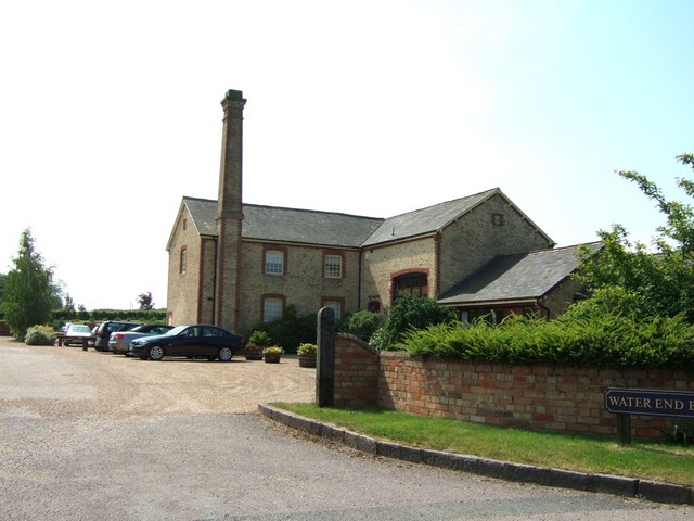
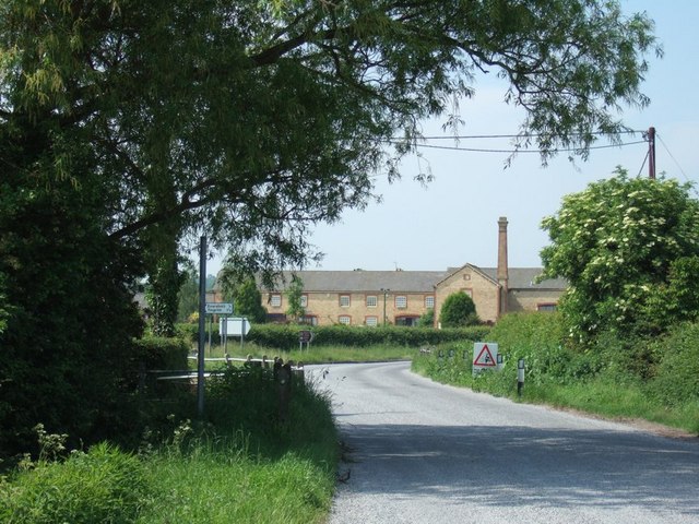
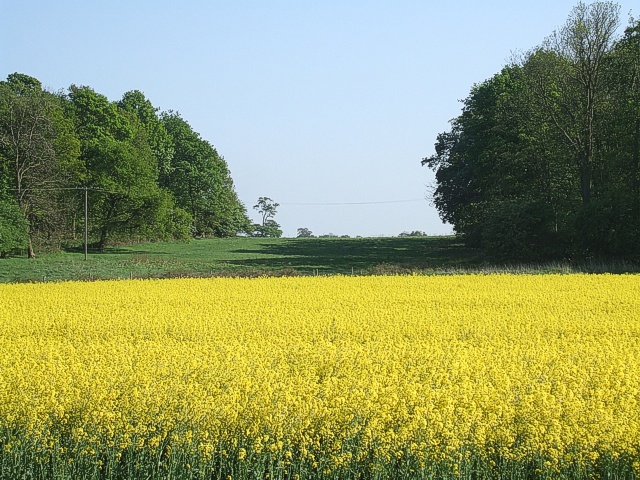
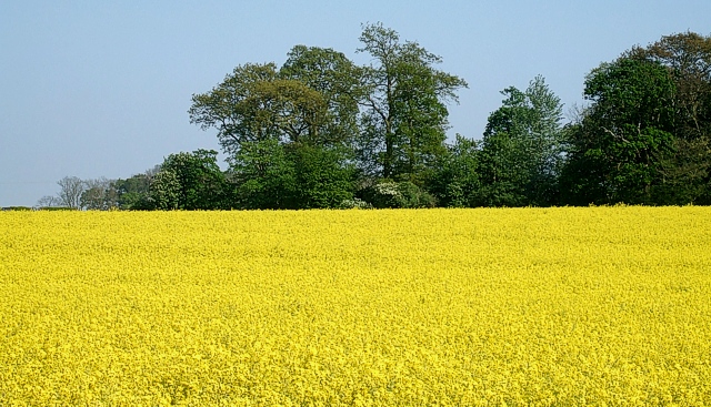
Alder Spinney Images
Images are sourced within 2km of 51.994095/-0.54422613 or Grid Reference TL0033. Thanks to Geograph Open Source API. All images are credited.
Alder Spinney is located at Grid Ref: TL0033 (Lat: 51.994095, Lng: -0.54422613)
Unitary Authority: Central Bedfordshire
Police Authority: Bedfordshire
What 3 Words
///frightens.eating.cupcake. Near Eversholt, Bedfordshire
Nearby Locations
Related Wikis
Eversholt
Eversholt is a village and civil parish located in Bedfordshire, England. It was mentioned in the Domesday Book and is over 1000 years old. "Eversholt...

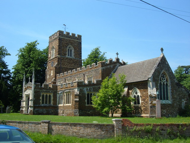
Church of St Nicholas, Tingrith
The Church of St Nicholas is a Grade I listed church in Tingrith, Bedfordshire, England. It became a listed building on 23 January 1961.The brown sandstone...
Tingrith
Tingrith is a small village and civil parish in Bedfordshire, England. It is located adjacent to the M1 motorway near the large village of Toddington....

Steppingley
Steppingley is a rural village and civil parish in Bedfordshire, England. It stands on high ground in the centre of a small parish of about 562 ha on...

Froxfield, Bedfordshire
Froxfield is a small hamlet in Bedfordshire, England. == References == The geographic coordinates are from the Ordnance Survey.

Flitwick Wood
Flitwick Wood is a 14.2 hectares (35 acres) Local Nature Reserve in Flitwick in Bedfordshire. It is owned and managed by Central Bedfordshire Council.The...

Flitwick Castle
Flitwick Castle was an 11th-century castle located in the town of Flitwick, in the county of Bedfordshire, England. It was a small, timber Motte-and-bailey...
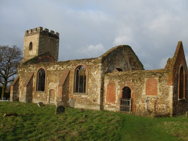
All Saints Church, Segenhoe
All Saints Church, Segenhoe is a ruined medieval church located near the village of Ridgmont, Bedfordshire. It contains architectural details that range...
Nearby Amenities
Located within 500m of 51.994095,-0.54422613Have you been to Alder Spinney?
Leave your review of Alder Spinney below (or comments, questions and feedback).