Hill's Plantation

Wood, Forest in Bedfordshire

England

Hill's Plantation

Fields near Castle farm Washers Wood in the distance.
Fields near Castle farm Credit: James Emmans

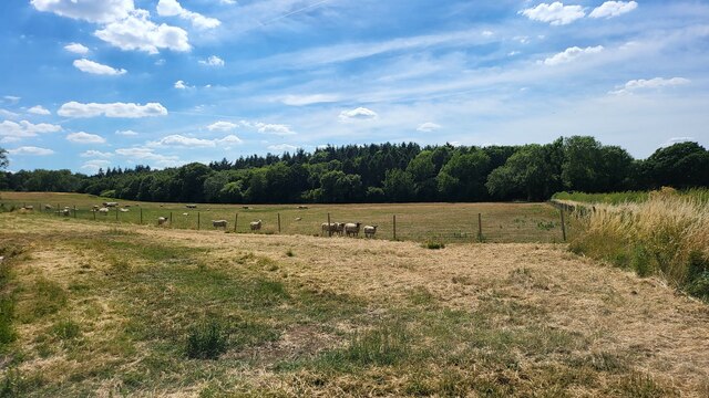
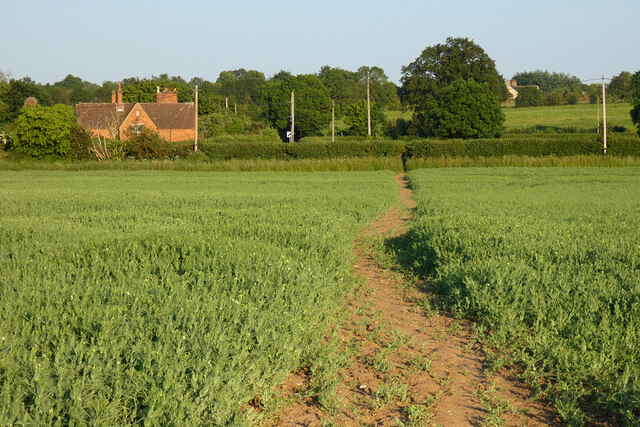
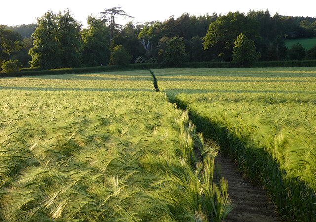
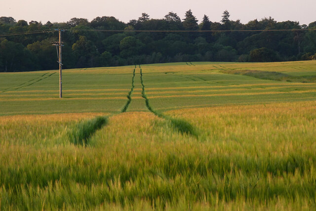
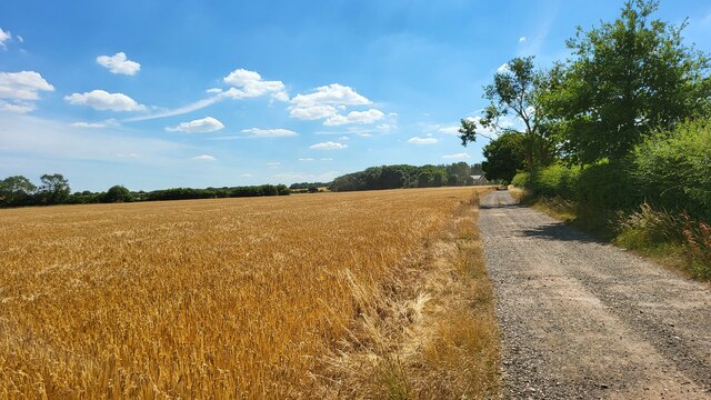
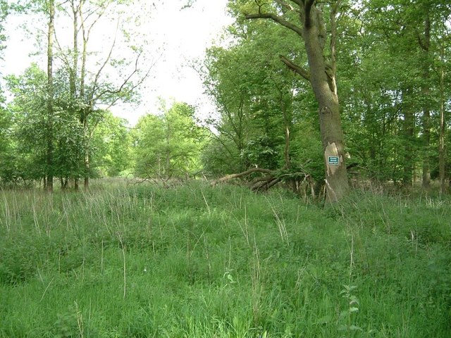
Hill's Plantation is a picturesque woodland area located in Bedfordshire, England. Spanning over a vast area, it is known for its dense and diverse collection of trees, making it a popular destination for nature enthusiasts and hikers alike.

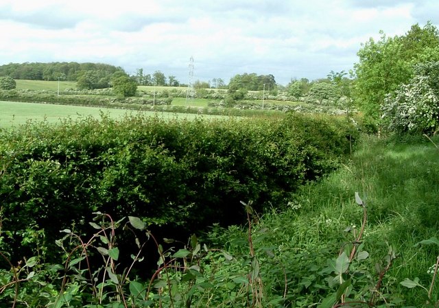
The plantation is situated on a gentle hill, hence the name, offering visitors breathtaking views of the surrounding countryside. It boasts a variety of tree species, including oak, beech, and birch, which create a vibrant and ever-changing landscape throughout the seasons. The rich biodiversity of the plantation provides a haven for many species of birds, mammals, and insects, making it a haven for wildlife enthusiasts.

Walking trails wind their way through the plantation, offering visitors the opportunity to explore its natural beauty. The paths are well-maintained, making it accessible for people of all ages and abilities. Along the trails, visitors may encounter charming clearings, wildflower meadows, and babbling brooks, further enhancing the enchanting experience.

Hill's Plantation is renowned for its tranquil atmosphere and serene surroundings. Many visitors flock to the area to escape the hustle and bustle of everyday life and immerse themselves in the peacefulness of nature. The plantation is also a popular destination for photography enthusiasts, as it provides an abundance of opportunities to capture stunning shots of the landscape and its inhabitants.

Overall, Hill's Plantation is a captivating woodland area that offers a sanctuary for both nature lovers and those seeking a moment of tranquility. Its natural beauty, diverse ecosystem, and well-maintained trails make it a must-visit destination for anyone exploring the Bedfordshire region.

If you have any feedback on the listing, please let us know in the comments section below.

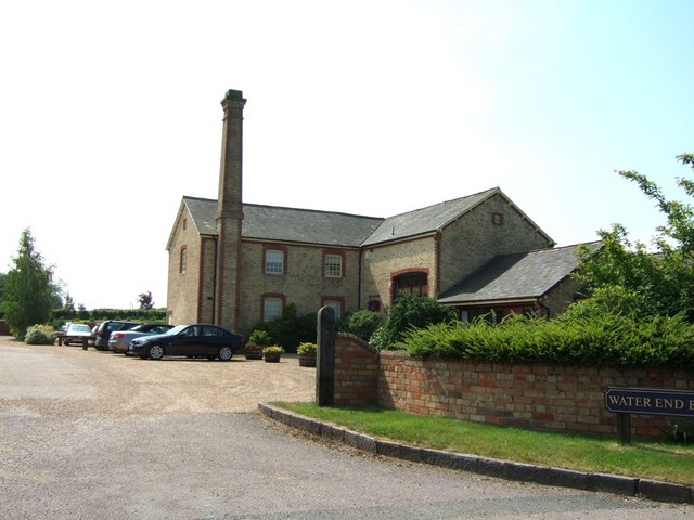
Hill's Plantation Images

Images are sourced within 2km of 51.987154/-0.54207742 or Grid Reference TL0033. Thanks to Geograph Open Source API. All images are credited.

Fields near Castle farm Washers Wood in the distance.
Fields near Castle farm
Washers Wood in the distance.
Farmland, Eversholt A footpath through peas on the approach to Water End.
Farmland, Eversholt
A footpath through peas on the approach to Water End.
Farmland, Eversholt A footpath through barley on the approach to Berrystead.
Farmland, Eversholt
A footpath through barley on the approach to Berrystead.
Farmland, Tingrith Spring barley to the north of Castle Farm.
Farmland, Tingrith
Spring barley to the north of Castle Farm.
B road crossing M1 southbound
Footbridge crossing M1 southbound
Matrix gantry - M1 southbound
Footbridge over M1 southbound
Field access track Wood House is in Daintry Wood uses this track.
Field access track
Wood House is in Daintry Wood uses this track.
Southbound M1 near to Tingrith The M1 is a north–south motorway connecting London to Leeds, where it joins the A1(M) near Aberford. It was the first motorway to be completed in the United Kingdom.
The motorway is 193 miles long and was constructed in four phases. Most of the motorway was opened between 1959 and 1968 but the southern end was extended in 1977 and the northern end was extended in 1999.
Southbound M1 near to Tingrith
The M1 is a north–south motorway connecting London to Leeds, where it joins the A1(M) near Aberford. It was the first motorway to be completed in the United Kingdom. The motorway is 193 miles long and was constructed in four phases. Most of the motorway was opened between 1959 and 1968 but the southern end was extended in 1977 and the northern end was extended in 1999.
Bridge Over the M1 near Tingrith The M1 is a north–south motorway connecting London to Leeds, where it joins the A1(M) near Aberford. It was the first motorway to be completed in the United Kingdom.
The motorway is 193 miles long and was constructed in four phases. Most of the motorway was opened between 1959 and 1968 but the southern end was extended in 1977 and the northern end was extended in 1999.
Bridge Over the M1 near Tingrith
The M1 is a north–south motorway connecting London to Leeds, where it joins the A1(M) near Aberford. It was the first motorway to be completed in the United Kingdom. The motorway is 193 miles long and was constructed in four phases. Most of the motorway was opened between 1959 and 1968 but the southern end was extended in 1977 and the northern end was extended in 1999.
Kingshoe Wood The little green sign says "Private Woods, Keep Out". This wood borders the M1 for about half a mile.
Kingshoe Wood
The little green sign says "Private Woods, Keep Out". This wood borders the M1 for about half a mile.
The Green Man, Eversholt A solid looking pub directly opposite the church in Eversholt. Apparently it dates from 1835 
Own website - <span class="nowrap"><a title="http://www.greenmaneversholt.com/Home.html" rel="nofollow ugc noopener" href="http://www.greenmaneversholt.com/Home.html">Link</a><img style="margin-left:2px;" alt="External link" title="External link - shift click to open in new window" src="https://s1.geograph.org.uk/img/external.png" width="10" height="10"/></span>
The Green Man, Eversholt
A solid looking pub directly opposite the church in Eversholt. Apparently it dates from 1835 Own website - LinkExternal link
View back to M1 from near Kingshoe Wood Taken from the opposite side of the road from Kingshoe Wood (See <a href="https://www.geograph.org.uk/photo/171929">SP9934 : Kingshoe Wood</a>), this view is across fields to where the M1 cuts straight across the fields. The line of the M1 can be made out by the three thin lampposts.
View back to M1 from near Kingshoe Wood
Taken from the opposite side of the road from Kingshoe Wood (See SP9934 : Kingshoe Wood), this view is across fields to where the M1 cuts straight across the fields. The line of the M1 can be made out by the three thin lampposts.
War Memorial, Eversholt In the churchyard of St.John the Baptist, Eversholt is this quite unusual war memorial topped by an angel (St. Michael perhaps) rather than the more usual cross.
War Memorial, Eversholt
In the churchyard of St.John the Baptist, Eversholt is this quite unusual war memorial topped by an angel (St. Michael perhaps) rather than the more usual cross.
The Thatch, Brook End This cottage is called "The Thatch" appropriately enough. It is in a part of Eversholt called Brook End.
The Thatch, Brook End
This cottage is called "The Thatch" appropriately enough. It is in a part of Eversholt called Brook End.
Tyrells End, Eversholt A view across a paddock at Tyrells End towards some of the substantial houses that make up this part of Eversholt.
Tyrells End, Eversholt
A view across a paddock at Tyrells End towards some of the substantial houses that make up this part of Eversholt.
Water End Barns They don't look much like barns to me - but that's what the sign says !
I presume that this was an old mill of some kind. It has now been converted into living accommodation. I wonder if the chimney still works, you could have a roaring fire with the updraft that'd produce !
Water End Barns
They don't look much like barns to me - but that's what the sign says ! I presume that this was an old mill of some kind. It has now been converted into living accommodation. I wonder if the chimney still works, you could have a roaring fire with the updraft that'd produce !
Show me another place!

Hill's Plantation is located at Grid Ref: TL0033 (Lat: 51.987154, Lng: -0.54207742)

Unitary Authority: Central Bedfordshire

Police Authority: Bedfordshire

What 3 Words

///callers.yell.stability. Near Eversholt, Bedfordshire

Related Wikis

Eversholt

Eversholt is a village and civil parish located in Bedfordshire, England. It was mentioned in the Domesday Book and is over 1000 years old. "Eversholt...

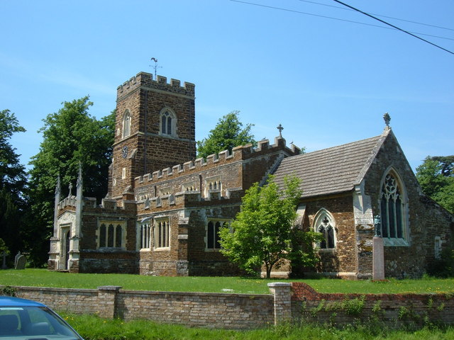
Church of St Nicholas, Tingrith

The Church of St Nicholas is a Grade I listed church in Tingrith, Bedfordshire, England. It became a listed building on 23 January 1961.The brown sandstone...

Tingrith

Tingrith is a small village and civil parish in Bedfordshire, England. It is located adjacent to the M1 motorway near the large village of Toddington....

Steppingley

Steppingley is a rural village and civil parish in Bedfordshire, England. It stands on high ground in the centre of a small parish of about 562 ha on...

Nearby Amenities

Located within 500m of 51.987154,-0.54207742
MK179EW
Lat/Long: 51.9883945/-0.5356301
Fixme: solar panels?
Lat/Long: 51.9890288/-0.5355539
Direction: 215
Generator Method: photovoltaic
Generator Output Electricity: yes
Generator Solar Modules: 14
Generator Source: solar
Generator Type: solar_photovoltaic_panel
Location: roof
Power: generator
Lat/Long: 51.9856487/-0.5466187
The data included in this document is from www.openstreetmap.org. The data is made available under ODbL.

Have you been to Hill's Plantation?

Leave your review of Hill's Plantation below (or comments, questions and feedback).