Magpie Holt
Wood, Forest in Lincolnshire South Kesteven
England
Magpie Holt

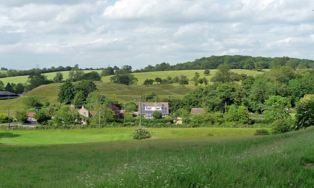
Magpie Holt is a small woodland area located in the county of Lincolnshire, England. Situated in the eastern part of the county, it is nestled within the picturesque Lincolnshire Wolds, a designated Area of Outstanding Natural Beauty. The woodland covers an area of approximately 50 acres, consisting mainly of deciduous trees such as oak, ash, and beech.
Magpie Holt is known for its tranquil and serene atmosphere, making it a popular destination for nature lovers and outdoor enthusiasts. The woodland provides a habitat for a variety of wildlife, including birds such as magpies, woodpeckers, and owls, as well as small mammals like rabbits, squirrels, and badgers.
The woodland is crisscrossed with a network of footpaths and trails, offering visitors the opportunity to explore and immerse themselves in the natural surroundings. These paths lead to several points of interest, including a small pond and a clearing that provides a picturesque picnic spot.
Magpie Holt is also home to a diverse range of flora, with bluebells carpeting the forest floor in the spring and vibrant autumn foliage creating a stunning display later in the year. The woodland is carefully managed to protect its ecological integrity and ensure its long-term sustainability.
In addition to its natural beauty, Magpie Holt is situated near several charming villages and historic towns, offering visitors the opportunity to explore the wider area and discover the rich cultural heritage of Lincolnshire.
If you have any feedback on the listing, please let us know in the comments section below.
Magpie Holt Images
Images are sourced within 2km of 52.740473/-0.51961521 or Grid Reference TF0016. Thanks to Geograph Open Source API. All images are credited.


Magpie Holt is located at Grid Ref: TF0016 (Lat: 52.740473, Lng: -0.51961521)
Administrative County: Lincolnshire
District: South Kesteven
Police Authority: Lincolnshire
What 3 Words
///panicking.auctioned.moral. Near Clipsham, Rutland
Nearby Locations
Related Wikis
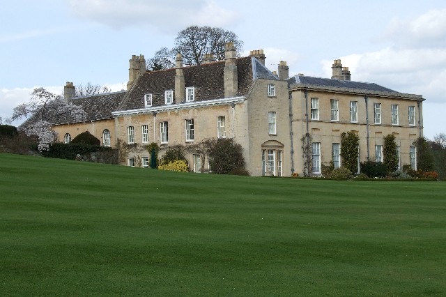
Holywell Hall, Lincolnshire
Holywell Hall is a building of historical significance in Lincolnshire and is listed on the English Heritage Register. The house is in the civil parish...
Holywell, Lincolnshire
Holywell is a tiny settlement in the civil parish of Careby Aunby and Holywell, in the South Kesteven district of Lincolnshire, England. It lies 5.5 miles...
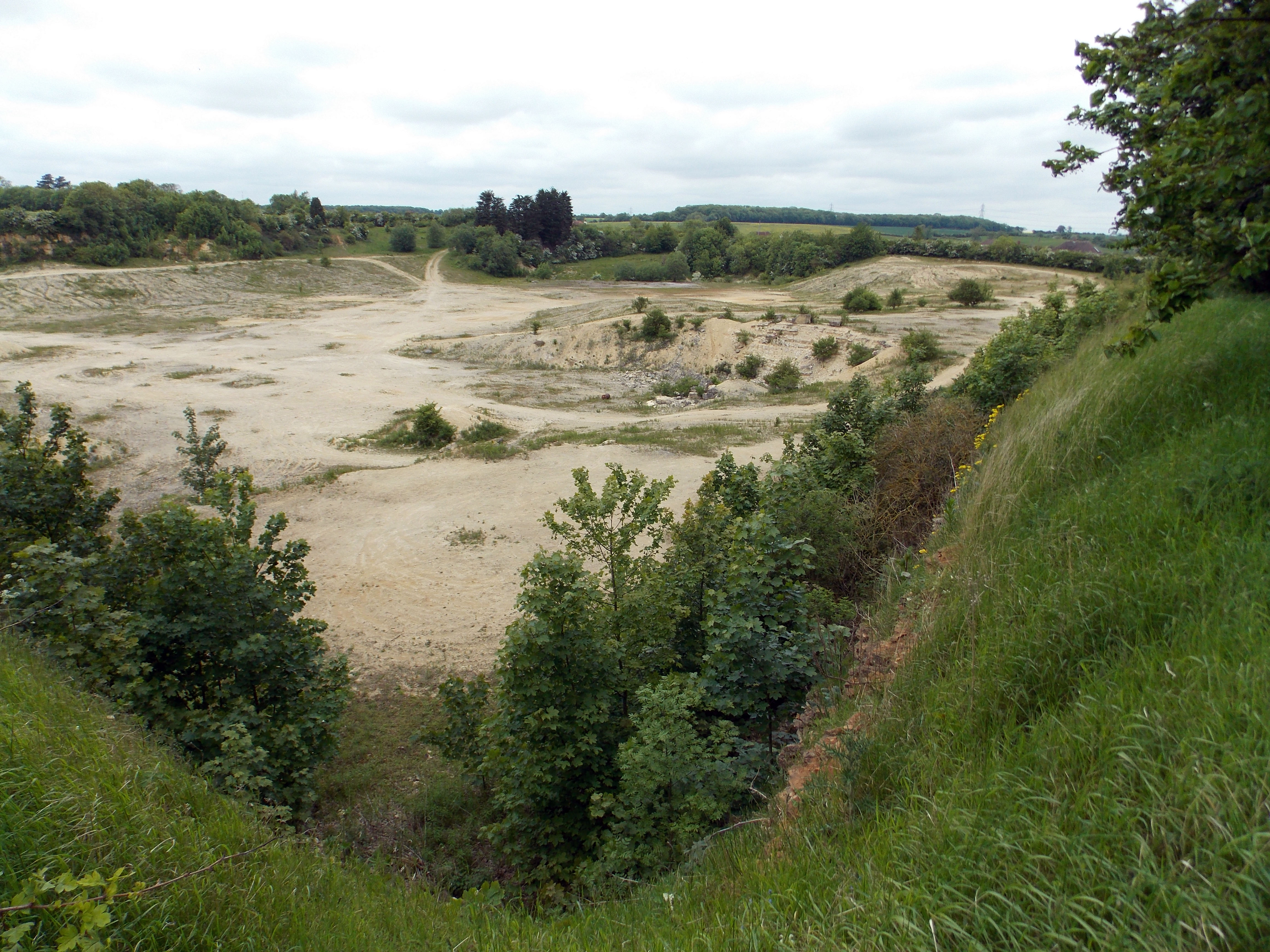
Castle Bytham Quarry
Castle Bytham quarry is a disused quarry located close to the centre of the village of Castle Bytham, Lincolnshire, England. It is famous for the exposure...
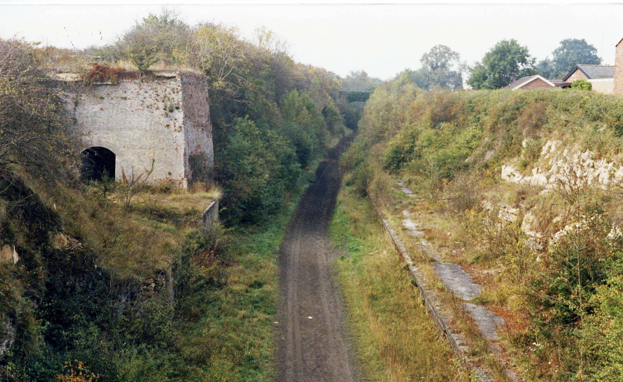
Castle Bytham railway station
Castle Bytham railway station was a station in Castle Bytham. It was Midland Railway property but train services were operated by the Midland and Great...
Little Bytham
Little Bytham is a village and civil parish in the South Kesteven district of Lincolnshire, England. The population of the civil parish at the 2011 census...
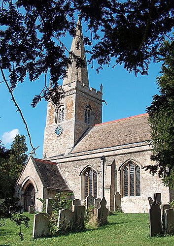
St Medardus and St Gildardus Church, Little Bytham
The church of St Medardus and St Gildardus in Little Bytham, Lincolnshire, England, is a Grade I listed building. It is dedicated to two 6th-century French...

Little Bytham railway station
Little Bytham railway station was a station in Little Bytham, Lincolnshire on the Great Northern Railway main line. It closed in 1959. The Midland and...
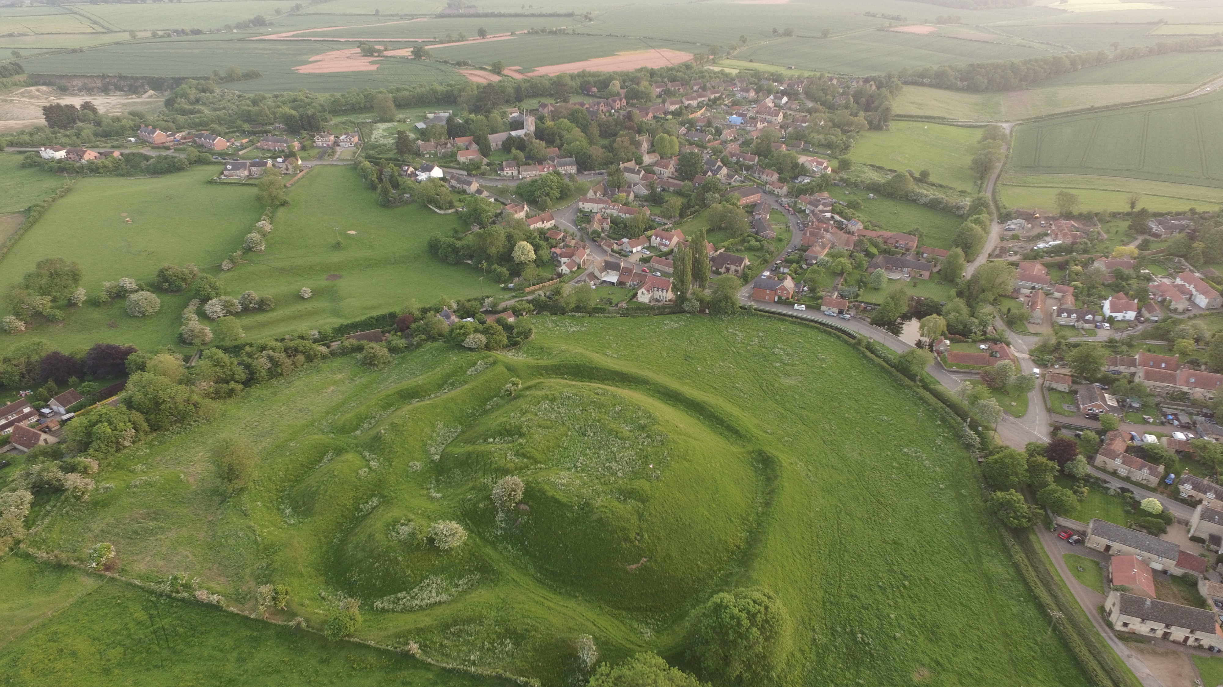
Bytham Castle
Bytham Castle was a castle in the village of Castle Bytham in Lincolnshire (grid reference SK992186.) The castle is thought to be of early Norman origin...
Have you been to Magpie Holt?
Leave your review of Magpie Holt below (or comments, questions and feedback).