Harper's Plantation
Wood, Forest in Yorkshire Ryedale
England
Harper's Plantation

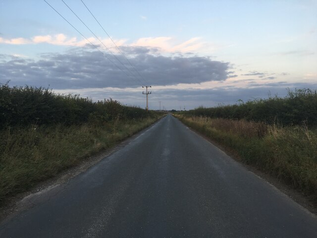
Harper's Plantation, located in Yorkshire, England, is a picturesque woodland area known for its dense forest and rich natural beauty. Covering an extensive area, this plantation is a popular destination for nature enthusiasts and hikers alike.
The woodland is characterized by its towering trees, predominantly oak and beech, which provide a lush canopy that filters the sunlight, creating a serene atmosphere below. The forest floor is covered with a thick layer of moss, ferns, and wildflowers, adding to the enchanting ambiance of the plantation.
Harper's Plantation is home to a diverse range of flora and fauna, making it an important ecological site. The woodland is teeming with various bird species, including woodpeckers, owls, and songbirds, making it a haven for birdwatchers. Additionally, the plantation is home to an array of mammals, such as deer, foxes, and squirrels, which can often be spotted roaming through the trees.
The plantation offers a network of well-maintained trails, allowing visitors to explore the woodland at their own pace. These paths wind through the forest, offering opportunities for peaceful walks or challenging hikes. Along the way, visitors can enjoy breathtaking views of the surrounding countryside and might even stumble upon hidden streams or small waterfalls.
Harper's Plantation is a place of tranquility and natural beauty. Its lush forest, diverse wildlife, and well-maintained trails make it a popular destination for nature lovers, hikers, and anyone seeking a peaceful retreat in the heart of Yorkshire, England.
If you have any feedback on the listing, please let us know in the comments section below.
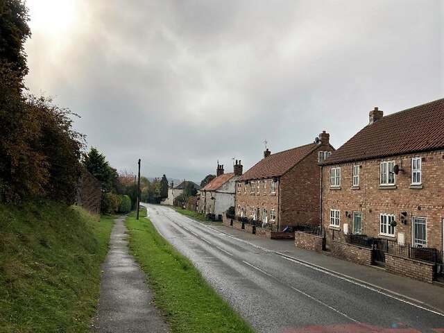
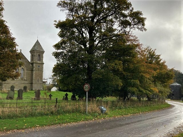
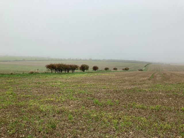
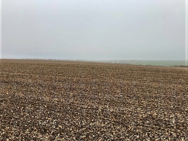
Harper's Plantation Images
Images are sourced within 2km of 54.146594/-0.46971015 or Grid Reference TA0073. Thanks to Geograph Open Source API. All images are credited.


Harper's Plantation is located at Grid Ref: TA0073 (Lat: 54.146594, Lng: -0.46971015)
Division: East Riding
Administrative County: North Yorkshire
District: Ryedale
Police Authority: North Yorkshire
What 3 Words
///questions.boring.brand. Near Wold Newton, East Yorkshire
Nearby Locations
Related Wikis
Foxholes, North Yorkshire
Foxholes is a village in North Yorkshire, England, part of the civil parish of Foxholes with Butterwick. It lies where the B1249 road crosses the Great...

Butterwick, Foxholes
Butterwick is a village and former civil parish, now in the parish of Foxholes (1.75 miles (2.8 km) to the east, near the village of Weaverthorpe (2 miles...
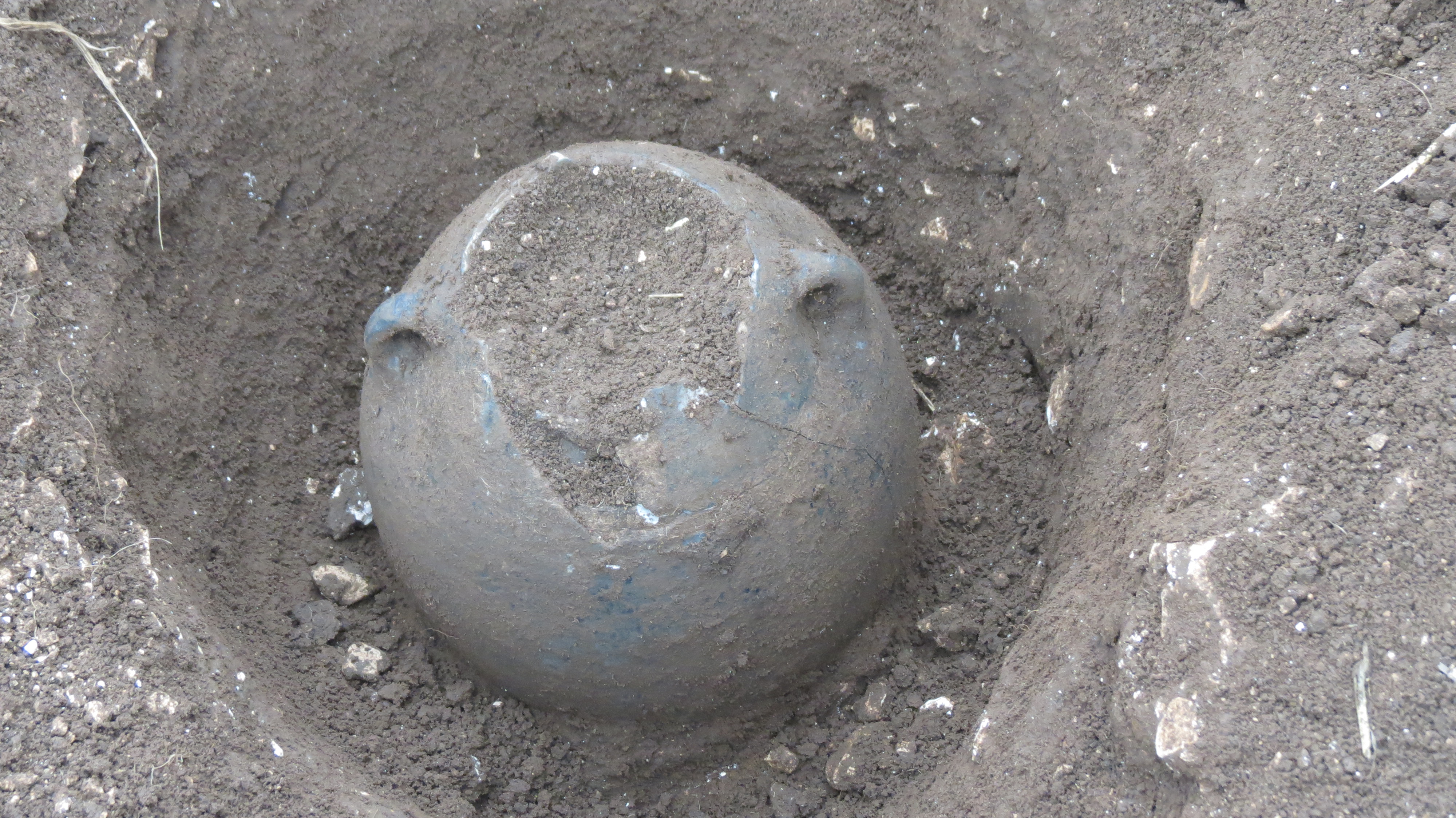
Wold Newton Hoard
The Wold Newton Hoard is a coin hoard dating from the early 4th century AD. It contains 1,857 coins held within a pottery container. It was acquired by...

Wold Cottage meteorite
The Wold Cottage meteorite (also called the Wold Newton meteorite) fell near Wold Cottage farm in 1795, a few miles away from the village of Wold Newton...

Potter Brompton
Potter Brompton is a small village in the English county of North Yorkshire, on the A64 road from Malton to Scarborough. The village is situated just a...

Weaverthorpe
Weaverthorpe is a village and civil parish in North Yorkshire, England. It is 13 miles (21 km) south-west of Scarborough. == History == Bronze Age settlements...

Ganton
Ganton is a village and civil parish in North Yorkshire, England. It is situated on the south side of the Vale of Pickering immediately north of the Yorkshire...

Wold Newton, East Riding of Yorkshire
Wold Newton is a small Yorkshire Wolds village and civil parish in the East Riding of Yorkshire, England. It is situated approximately 9 miles (14 km)...
Nearby Amenities
Located within 500m of 54.146594,-0.46971015Have you been to Harper's Plantation?
Leave your review of Harper's Plantation below (or comments, questions and feedback).