Sunny Wood

Wood, Forest in Surrey Waverley

England

Sunny Wood

Hascombe Spring
Hascombe Spring Credit: Alex McGregor

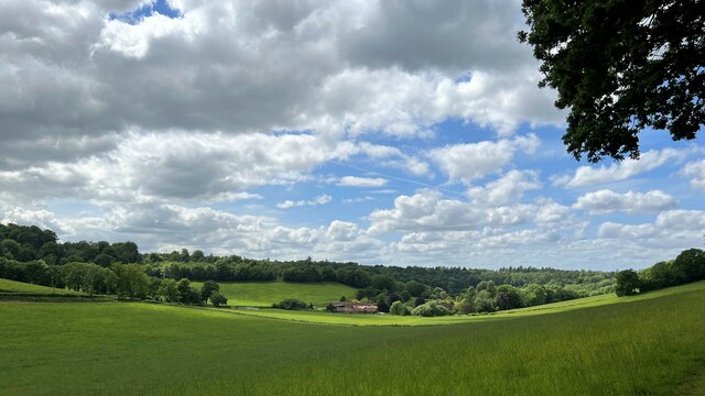
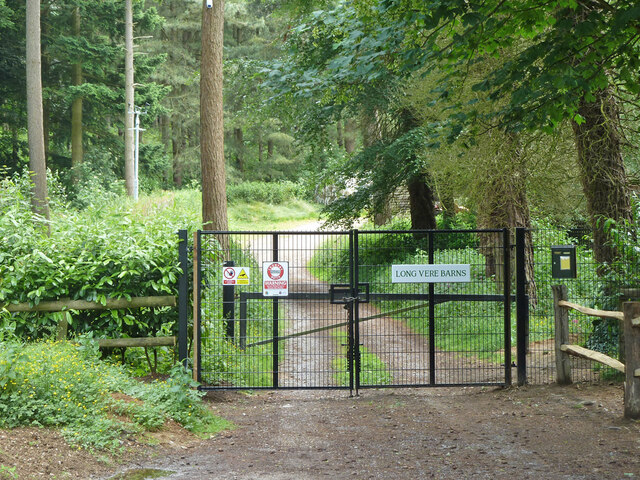
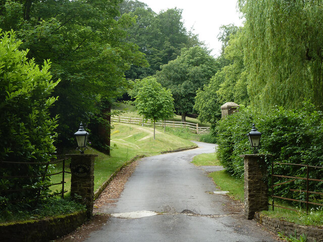
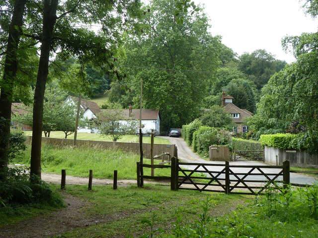
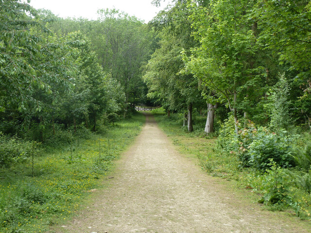
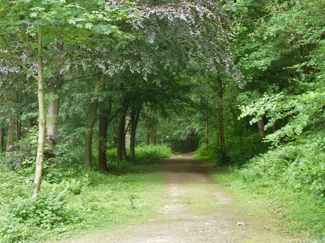
Sunny Wood is a picturesque area located in Surrey, England. Nestled within the beautiful Surrey Hills, it is a haven for nature enthusiasts and those seeking a peaceful retreat from the hustle and bustle of city life. The wood is part of a larger forested area, known for its dense foliage and diverse wildlife.

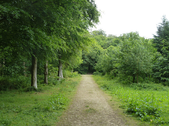
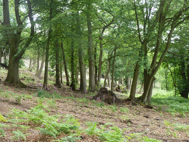
Covering an extensive area, Sunny Wood is characterized by its towering trees, predominantly consisting of oak, beech, and pine. The wood boasts a stunning array of colors throughout the year, with vibrant hues of green in the spring and summer, transitioning into a breathtaking display of golden and orange tones in the autumn months. This seasonal transformation offers visitors a constantly changing landscape to explore.

Home to a rich variety of flora and fauna, Sunny Wood is a haven for wildlife enthusiasts. It is common to encounter deer, foxes, badgers, and an array of bird species while exploring the trails that wind through the forest. The wood is also home to several well-maintained ponds, attracting ducks, swans, and other aquatic creatures.

For outdoor enthusiasts, Sunny Wood offers an extensive network of walking and cycling trails, providing opportunities to explore the area's natural beauty. The wood is equipped with several picnic areas, making it an ideal spot for families and friends to enjoy a day out in the countryside.

Overall, Sunny Wood in Surrey provides a tranquil and idyllic escape, showcasing the best of England's natural beauty.

If you have any feedback on the listing, please let us know in the comments section below.
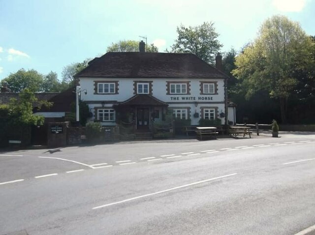
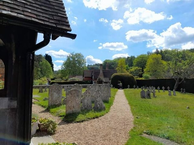
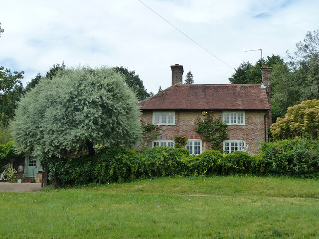
Sunny Wood Images

Images are sourced within 2km of 51.142451/-0.57399096 or Grid Reference SU9939. Thanks to Geograph Open Source API. All images are credited.

Hascombe Spring
Hascombe Spring
Horses south of Little Burgate Farm
Private drive leading to Pear Tree Green So says the large signpost, but the small one says public footpath. It is footpath 204 Dunsfold, a way towards Breakneck Hill.
Private drive leading to Pear Tree Green
So says the large signpost, but the small one says public footpath. It is footpath 204 Dunsfold, a way towards Breakneck Hill.
Barns at Red Leaf Farm A non-farming farm now.
Barns at Red Leaf Farm
A non-farming farm now.
The White Horse
The White Horse
St Peter's Church
St Peter's Church
St Peter's Church
St Peter's Church
Woodland debris - Creek Copse Some of those look like beech mast - but I'm not an expert on seeds and fruit.
Woodland debris - Creek Copse
Some of those look like beech mast - but I'm not an expert on seeds and fruit.
Hascombe Place Farm This is a cross-grid shot. The camera was in the square to the east.
Hascombe Place Farm
This is a cross-grid shot. The camera was in the square to the east.
Hedge and field east of Hook House Lane
Raswell Cottage, Loxhill Fronted by a very small green on the B2130, Godalming Road.
Raswell Cottage, Loxhill
Fronted by a very small green on the B2130, Godalming Road.
Gated entrance to Long Vere Barns Off the B2130, Godalming Road.
Gated entrance to Long Vere Barns
Off the B2130, Godalming Road.
Entrance to Hascombe Grange Off the B2130, Godalming Road.
Entrance to Hascombe Grange
Off the B2130, Godalming Road.
Permissive path, Hascombe Hill There is a car park just off to the left. Looking back to Godalming Road, B2130.
Permissive path, Hascombe Hill
There is a car park just off to the left. Looking back to Godalming Road, B2130.
Permissive path, Hascombe Hill Running from the car park on Godalming Road.
Permissive path, Hascombe Hill
Running from the car park on Godalming Road.
Permissive path, Hascombe Hill Looking back to Godalming Road, B2130, where there is a car park.
Permissive path, Hascombe Hill
Looking back to Godalming Road, B2130, where there is a car park.
Permissive path, Hascombe Hill
Woodland with foxgloves, Hascombe Hill
Show me another place!

Sunny Wood is located at Grid Ref: SU9939 (Lat: 51.142451, Lng: -0.57399096)

Administrative County: Surrey

District: Waverley

Police Authority: Surrey

What 3 Words

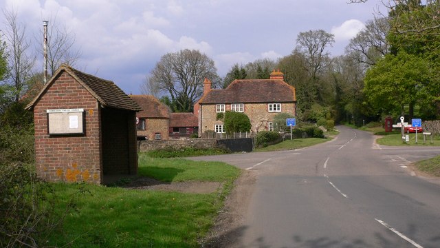
///nametag.moped.bonkers. Near Chiddingfold, Surrey

Related Wikis

Hascombe Hill

Hascombe Hill or Hascombe Camp is the site of an Iron Age multivallate hill fort close to the village of Hascombe in Surrey, England. == History == The...

Hascombe

Hascombe is a village and civil parish in Surrey, England. It is around 3 miles (4.8 km) southeast of Godalming in the Borough of Waverley. The settlement...

Hascombe Court

Hascombe Court is a 172-acre (70 ha) estate in Hascombe, Surrey, best known for its vast garden designed by Gertrude Jekyll. Hascombe Court is listed Grade...

Winkworth Arboretum

Winkworth Arboretum is a National Trust-owned arboretum in the spread-out civil parish of Busbridge between Godalming and Hascombe, south-west Surrey,...

Hydon's Ball

Hydon's Ball is a 179-metre-high (587 ft) hill covering most of Hydon Heath in Hydestile, Surrey, England. == Description == The hill on Hydon Heath, Hydestile...

Dunsfold

Dunsfold is a village in the borough of Waverley, Surrey, England, 8.7 miles (14.0 kilometres) south of Guildford. It lies in the Weald and reaches in...

Hambledon, Surrey

Hambledon is a rural scattered village in the Waverley borough of Surrey, situated south of Guildford. It is dominated by a buffer zone of fields and woodland...

Hydestile

Hydestile is a hamlet in Waverley, south-west Surrey. It is around 2+1⁄2 miles (4.0 km) south of Godalming between the villages of Busbridge and Hambledon...

Nearby Amenities

Located within 500m of 51.142451,-0.57399096
Holloways Heath
Place: locality
Source: npe
Lat/Long: 51.1413651/-0.5791275
Bus Stop
White Horse
Naptan AtcoCode: 40004411103A
Naptan Bearing: SW
Naptan CommonName: White Horse
Naptan Indicator: O/s
Naptan Landmark: White Horse
Naptan NaptanCode: surdtmjm
Naptan Street: The Street
Naptan Verified: no
Public Transport: platform
Source: naptan_import
Lat/Long: 51.145289/-0.5694257
Bus Stop
White Horse
Naptan AtcoCode: 40004411103B
Naptan Bearing: NE
Naptan BusStopType: CUS
Naptan CommonName: White Horse
Naptan Indicator: Opp
Naptan Landmark: White Horse
Naptan NaptanCode: surgpdwp
Naptan Street: The Street
Naptan Verified: no
Physically Present: no
Public Transport: platform
Source: naptan_import
Lat/Long: 51.1452935/-0.5696173
Post Box
Collection Times: Mo-Fr 16:00, Sa 09:00
Post Box Type: wall
Ref: GU8 36
Royal Cypher: VR
Royal Cypher Wikidata: Q33102356
Lat/Long: 51.145305/-0.5692849
Barrier: entrance
Maxheight: 2.4
Note: Height is an estimate as it is not signed
Lat/Long: 51.1424428/-0.5696791
Bench
Backrest: yes
Seats: 2
Lat/Long: 51.1452545/-0.5693856
Defibrillator
Defibrillator Location: West end of the southern exterior wall of the White Horse public house, next to the post box
Emergency: defibrillator
Indoor: no
Lat/Long: 51.1453046/-0.5692829
Barrier: bollard
Bollard: removable
Lat/Long: 51.1451737/-0.5701656
The data included in this document is from www.openstreetmap.org. The data is made available under ODbL.

Have you been to Sunny Wood?

Leave your review of Sunny Wood below (or comments, questions and feedback).