Hurtwood Copse
Wood, Forest in Surrey Waverley
England
Hurtwood Copse

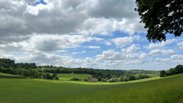
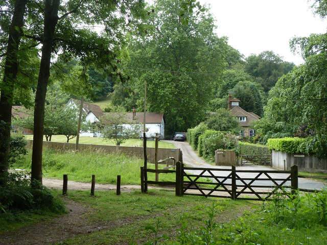
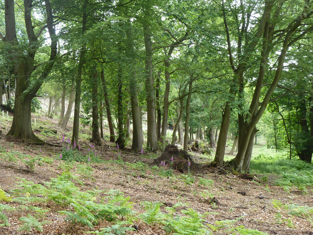
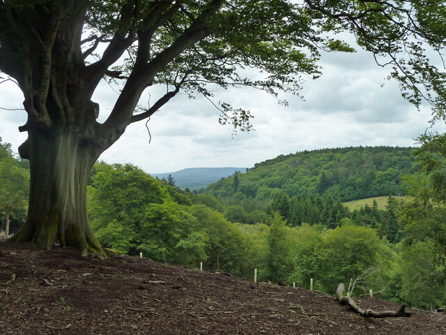
Hurtwood Copse is a picturesque woodland located in Surrey, England. Covering an area of approximately 350 hectares, this forested area is a popular destination for nature enthusiasts and hikers alike.
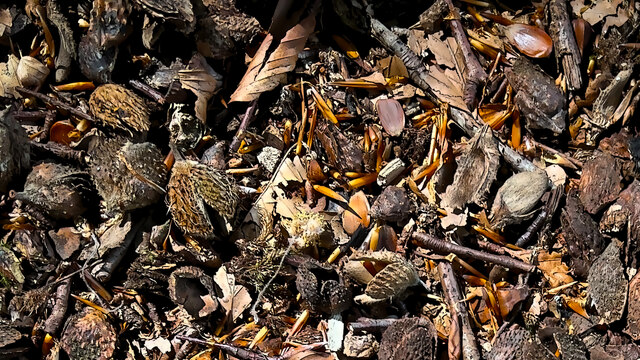
The copse is characterized by its diverse range of tree species, including oak, birch, beech, and Scots pine. These trees create a rich and vibrant habitat for various flora and fauna, making it a haven for wildlife. Visitors to Hurtwood Copse may have the opportunity to spot deer, foxes, badgers, and a variety of bird species.
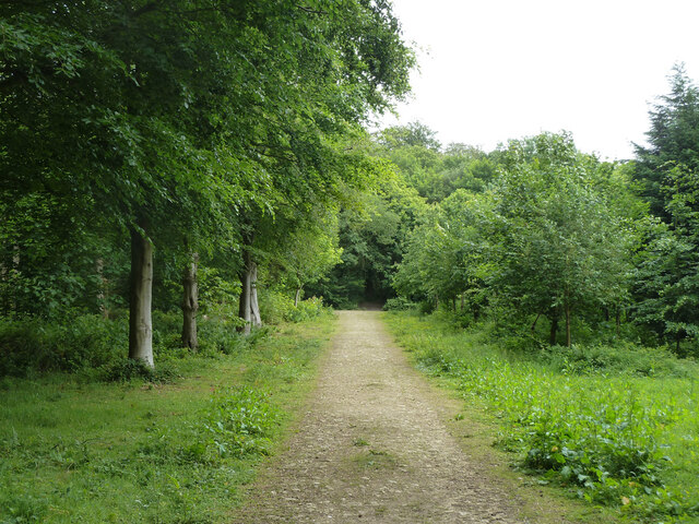
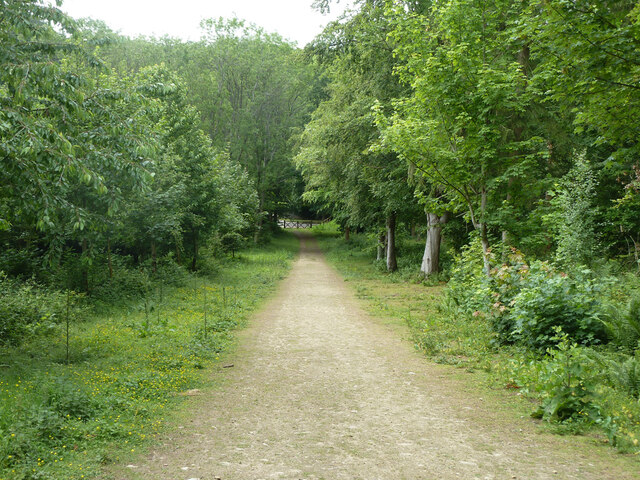
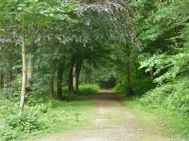
Traversing through Hurtwood Copse, visitors will find a network of well-maintained trails that meander through the forest. These trails offer a unique glimpse into the natural beauty of the area, with enchanting views of wildflowers, ferns, and moss-covered rocks. The copse is particularly stunning during the spring and autumn months when the foliage exhibits vibrant colors.
In addition to its natural beauty, Hurtwood Copse also holds historical significance. It is home to a few remnants of Iron Age settlements, as well as old quarry workings that date back centuries. These historical features add an element of intrigue and provide a glimpse into the area's past.
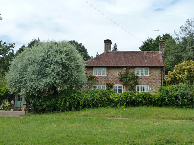
Overall, Hurtwood Copse is a serene and captivating woodland that offers a tranquil escape from the hustle and bustle of everyday life. Whether it's a leisurely stroll, a challenging hike, or simply a desire to connect with nature, this Surrey gem has something to offer for everyone.
If you have any feedback on the listing, please let us know in the comments section below.
Hurtwood Copse Images
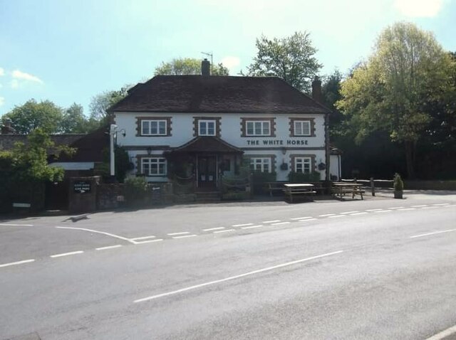
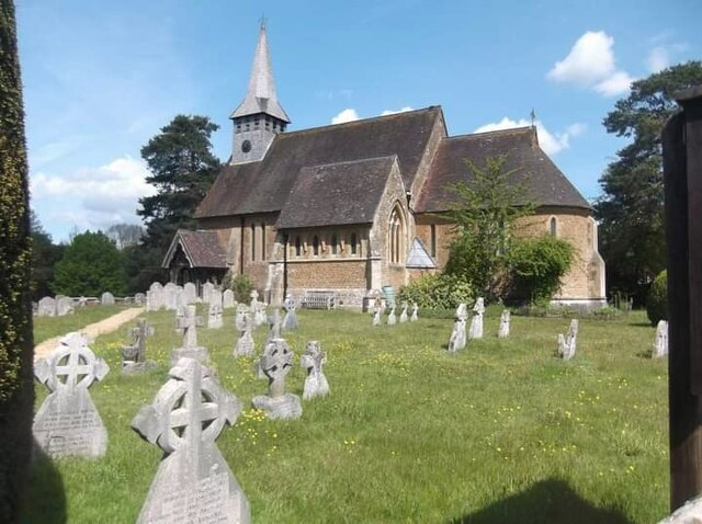
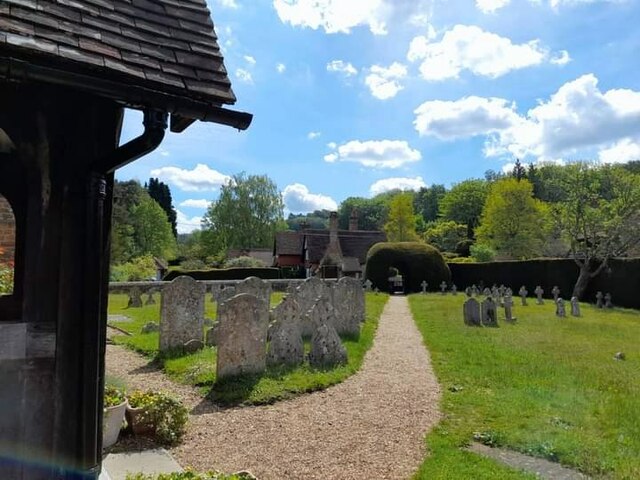
Images are sourced within 2km of 51.14448/-0.57594419 or Grid Reference SU9939. Thanks to Geograph Open Source API. All images are credited.


Hurtwood Copse is located at Grid Ref: SU9939 (Lat: 51.14448, Lng: -0.57594419)
Administrative County: Surrey
District: Waverley
Police Authority: Surrey
What 3 Words
///infringe.slack.grapes. Near Chiddingfold, Surrey
Nearby Locations
Related Wikis

Hascombe
Hascombe is a village and civil parish in Surrey, England. It is around 3 miles (4.8 km) southeast of Godalming in the Borough of Waverley. The settlement...

Hascombe Court
Hascombe Court is a 172-acre (70 ha) estate in Hascombe, Surrey, best known for its vast garden designed by Gertrude Jekyll. Hascombe Court is listed Grade...

Hascombe Hill
Hascombe Hill or Hascombe Camp is the site of an Iron Age multivallate hill fort close to the village of Hascombe in Surrey, England. == History == The...

Winkworth Arboretum
Winkworth Arboretum is a National Trust-owned arboretum in the spread-out civil parish of Busbridge between Godalming and Hascombe, south-west Surrey,...

Hydon's Ball
Hydon's Ball is a 179-metre-high (587 ft) hill covering most of Hydon Heath in Hydestile, Surrey, England. == Description == The hill on Hydon Heath, Hydestile...

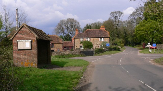
Hambledon, Surrey
Hambledon is a rural scattered village in the Waverley borough of Surrey, situated south of Guildford. It is dominated by a buffer zone of fields and woodland...
Hydestile
Hydestile is a hamlet in Waverley, south-west Surrey. It is around 2+1⁄2 miles (4.0 km) south of Godalming between the villages of Busbridge and Hambledon...

Dunsfold
Dunsfold is a village in the borough of Waverley, Surrey, England, 8.7 miles (14.0 kilometres) south of Guildford. It lies in the Weald and reaches in...
Nearby Amenities
Located within 500m of 51.14448,-0.57594419Have you been to Hurtwood Copse?
Leave your review of Hurtwood Copse below (or comments, questions and feedback).