The Hurtwood
Wood, Forest in Surrey Waverley
England
The Hurtwood

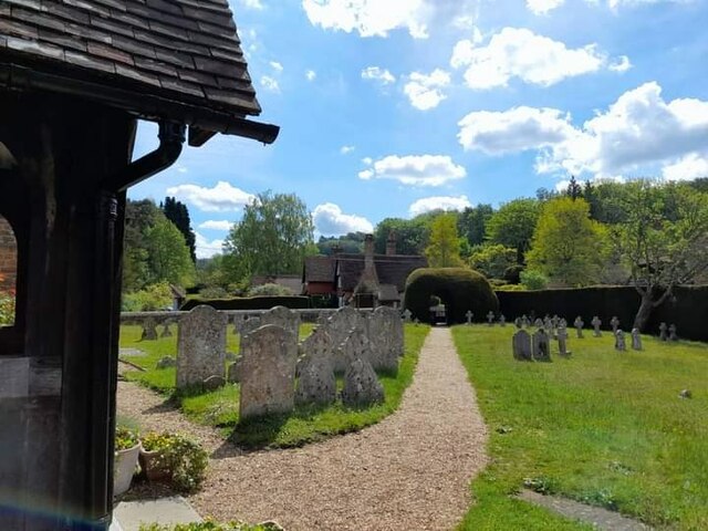
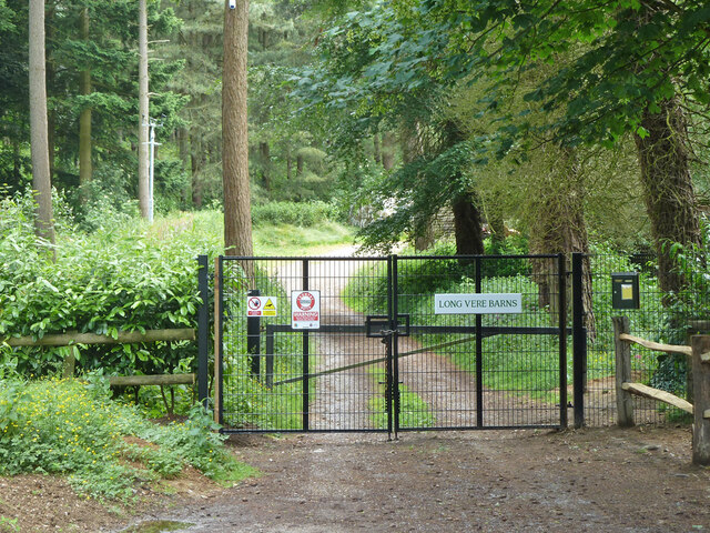
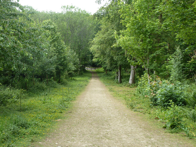
The Hurtwood is a vast woodland located in Surrey, England, covering an area of approximately 2,500 acres. It is well-known for its natural beauty and is considered one of the largest accessible areas of heathland in the county. The area is managed by the Hurtwood Conservation Volunteers, who work diligently to preserve its unique ecological features.
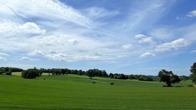
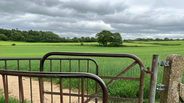
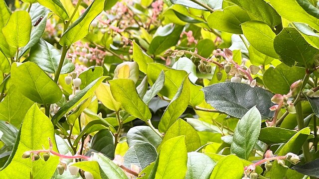
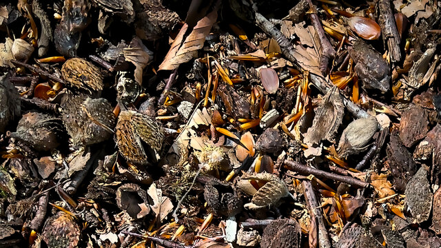
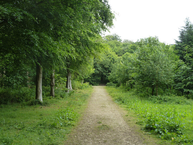
The Hurtwood boasts a diverse range of habitats, including ancient woodland, open heathland, and coniferous plantations. The woodland is home to a variety of wildlife, including deer, birds, and rare plant species. It is particularly famous for its vibrant displays of bluebells during the spring season, attracting numerous visitors and photographers.
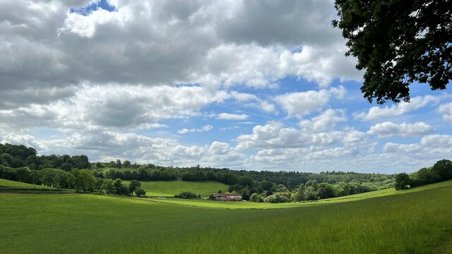
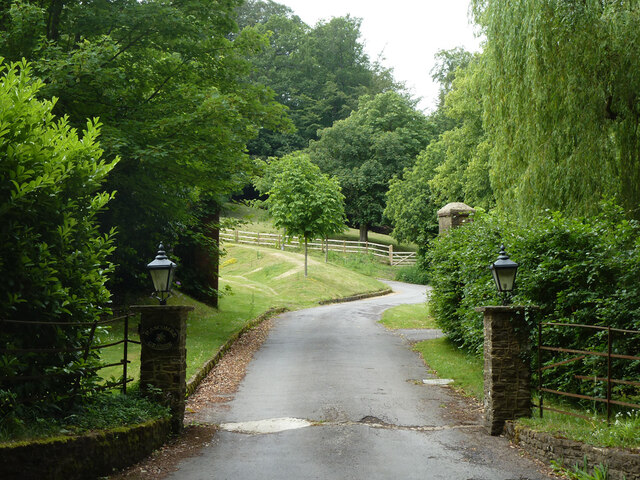
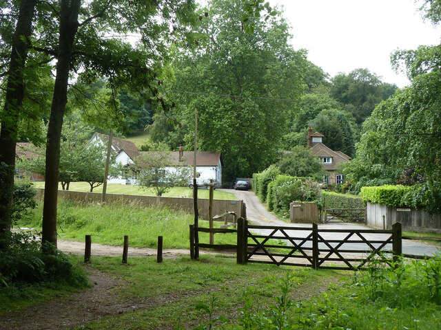
Visitors to the area can enjoy a network of well-maintained footpaths and bridleways, making it an ideal destination for hikers, cyclists, and horse riders. The woodland also offers stunning panoramic views across the surrounding countryside from its highest points, such as Holmbury Hill and Pitch Hill.
Despite its accessibility, the Hurtwood retains a peaceful and tranquil atmosphere, allowing visitors to escape the hustle and bustle of everyday life. The conservation volunteers have implemented various measures to protect the woodland, including the introduction of grazing animals to maintain the heathland and the careful management of tree felling.
Overall, the Hurtwood is a treasured natural gem in Surrey, providing a haven for wildlife and offering visitors a chance to connect with nature and enjoy the beauty of the British countryside.
If you have any feedback on the listing, please let us know in the comments section below.
The Hurtwood Images
Images are sourced within 2km of 51.142289/-0.58213006 or Grid Reference SU9939. Thanks to Geograph Open Source API. All images are credited.


The Hurtwood is located at Grid Ref: SU9939 (Lat: 51.142289, Lng: -0.58213006)
Administrative County: Surrey
District: Waverley
Police Authority: Surrey
What 3 Words
///hamper.unsightly.cautious. Near Chiddingfold, Surrey
Nearby Locations
Related Wikis

Hascombe Court
Hascombe Court is a 172-acre (70 ha) estate in Hascombe, Surrey, best known for its vast garden designed by Gertrude Jekyll. Hascombe Court is listed Grade...

Hascombe
Hascombe is a village and civil parish in Surrey, England. It is around 3 miles (4.8 km) southeast of Godalming in the Borough of Waverley. The settlement...

Hascombe Hill
Hascombe Hill or Hascombe Camp is the site of an Iron Age multivallate hill fort close to the village of Hascombe in Surrey, England. == History == The...

Hydon's Ball
Hydon's Ball is a 179-metre-high (587 ft) hill covering most of Hydon Heath in Hydestile, Surrey, England. == Description == The hill on Hydon Heath, Hydestile...

Winkworth Arboretum
Winkworth Arboretum is a National Trust-owned arboretum in the spread-out civil parish of Busbridge between Godalming and Hascombe, south-west Surrey,...

Hambledon, Surrey
Hambledon is a rural scattered village in the Waverley borough of Surrey, situated south of Guildford. It is dominated by a buffer zone of fields and woodland...
Hydestile
Hydestile is a hamlet in Waverley, south-west Surrey. It is around 2+1⁄2 miles (4.0 km) south of Godalming between the villages of Busbridge and Hambledon...

Oakhurst Cottage
Oakhurst Cottage is a tiny 16th or 17th-century cottage in Hambledon, Surrey, in the United Kingdom. It is a Grade II listed building.The cottage was given...
Nearby Amenities
Located within 500m of 51.142289,-0.58213006Have you been to The Hurtwood?
Leave your review of The Hurtwood below (or comments, questions and feedback).