Foxbury Copse
Wood, Forest in Surrey Waverley
England
Foxbury Copse

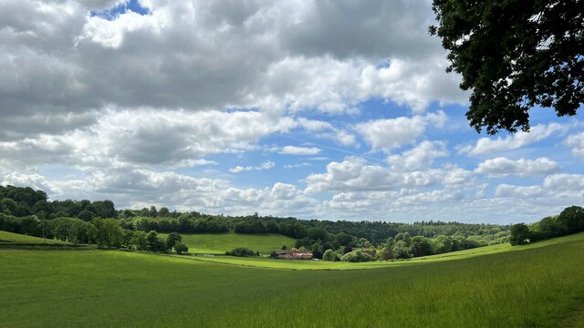
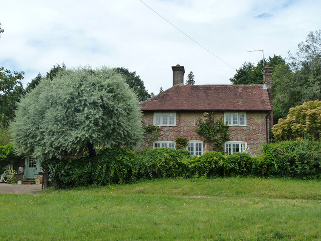
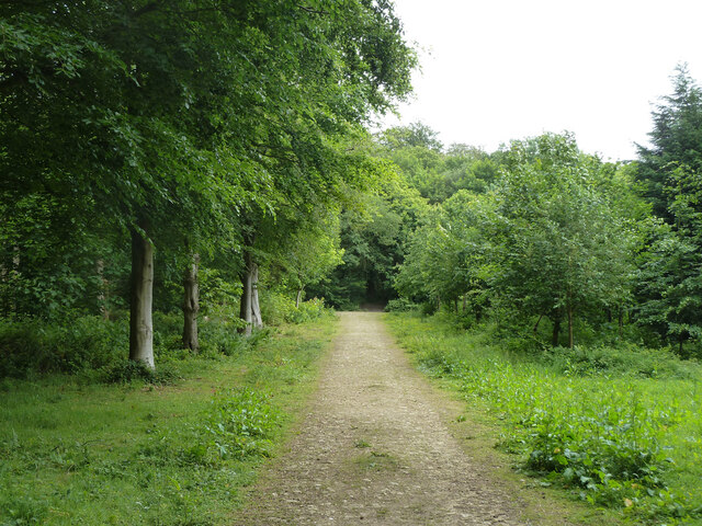
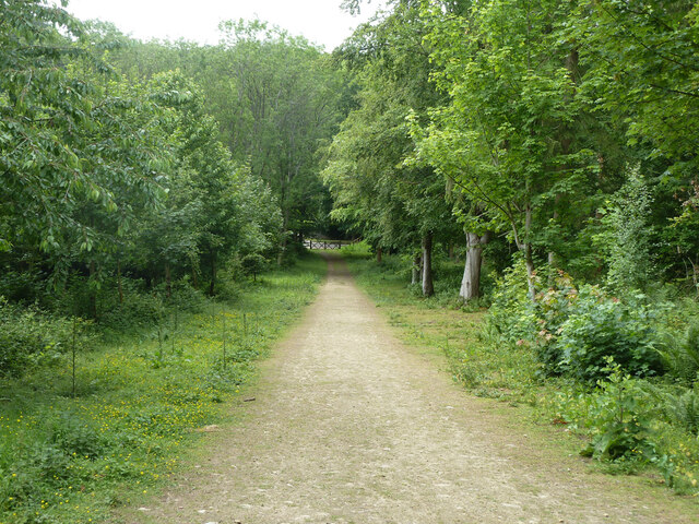
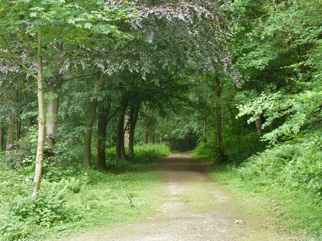
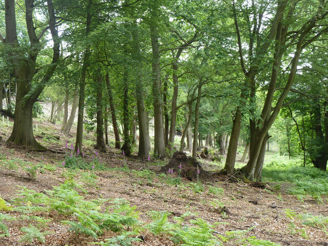
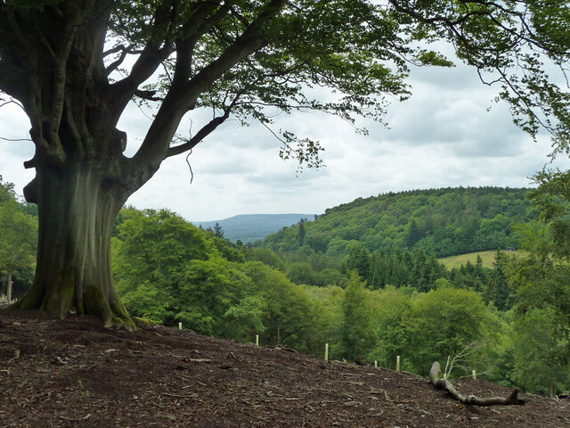
Foxbury Copse is a sprawling woodland located in Surrey, England. It covers an area of approximately 250 acres and is situated within the scenic Surrey Hills Area of Outstanding Natural Beauty. The copse is characterized by its dense and diverse vegetation, making it a haven for wildlife and a popular destination for nature enthusiasts.
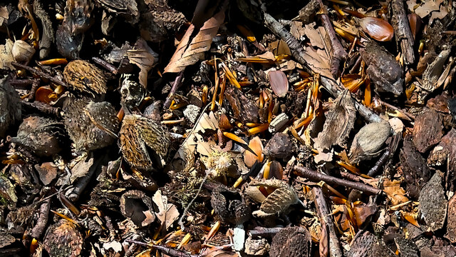
The woodland is primarily composed of broadleaf trees such as oak, beech, and ash, which provide a rich and varied habitat for a wide range of flora and fauna. The forest floor is adorned with an array of wildflowers and ferns, creating a vibrant and picturesque landscape.
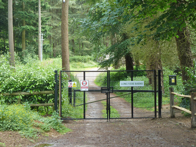
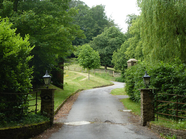
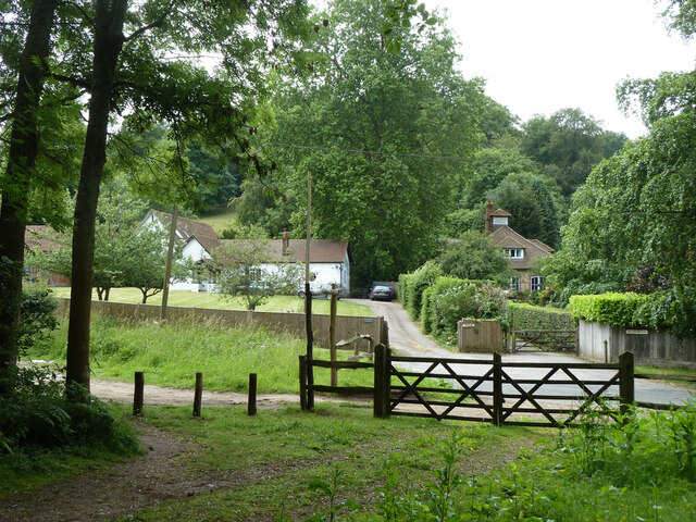
Foxbury Copse is crisscrossed by a network of walking trails, allowing visitors to explore its beauty at their own pace. These trails wind through the woodland, offering breathtaking views of ancient trees, babbling brooks, and secluded clearings. The copse is also home to several species of birds, including woodpeckers, nightingales, and tawny owls, making it a paradise for birdwatchers.
In addition to its natural beauty, Foxbury Copse also has historical significance. It is believed to have been part of the medieval hunting grounds of the nearby Waverley Abbey, established in the 12th century. The copse has remained relatively untouched over the centuries, preserving its tranquil and timeless atmosphere.
Overall, Foxbury Copse is a captivating woodland that offers a peaceful retreat from the hustle and bustle of everyday life. Whether one seeks to immerse themselves in nature, spot wildlife, or simply enjoy a leisurely walk, this enchanting forest provides an idyllic setting to unwind and reconnect with the natural world.
If you have any feedback on the listing, please let us know in the comments section below.
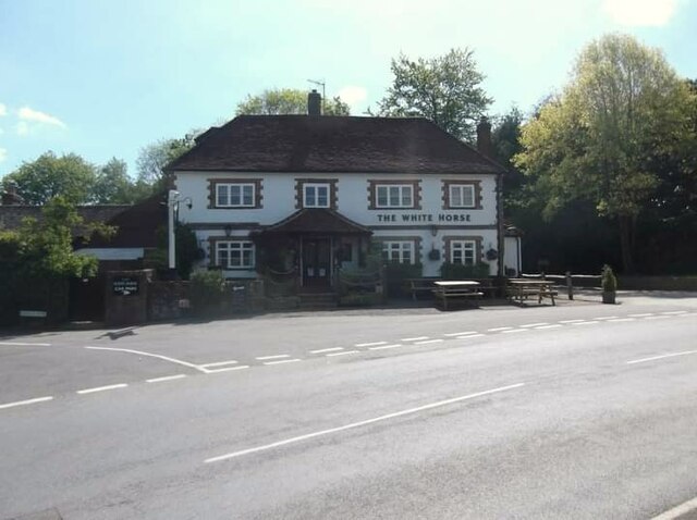
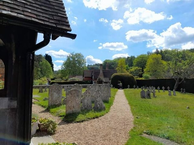
Foxbury Copse Images
Images are sourced within 2km of 51.146874/-0.57832959 or Grid Reference SU9939. Thanks to Geograph Open Source API. All images are credited.


Foxbury Copse is located at Grid Ref: SU9939 (Lat: 51.146874, Lng: -0.57832959)
Administrative County: Surrey
District: Waverley
Police Authority: Surrey
What 3 Words
///sweeten.stalemate.accented. Near Chiddingfold, Surrey
Nearby Locations
Related Wikis

Hascombe Court
Hascombe Court is a 172-acre (70 ha) estate in Hascombe, Surrey, best known for its vast garden designed by Gertrude Jekyll. Hascombe Court is listed Grade...

Hascombe
Hascombe is a village and civil parish in Surrey, England. It is around 3 miles (4.8 km) southeast of Godalming in the Borough of Waverley. The settlement...

Hascombe Hill
Hascombe Hill or Hascombe Camp is the site of an Iron Age multivallate hill fort close to the village of Hascombe in Surrey, England. == History == The...

Winkworth Arboretum
Winkworth Arboretum is a National Trust-owned arboretum in the spread-out civil parish of Busbridge between Godalming and Hascombe, south-west Surrey,...

Hydon's Ball
Hydon's Ball is a 179-metre-high (587 ft) hill covering most of Hydon Heath in Hydestile, Surrey, England. == Description == The hill on Hydon Heath, Hydestile...
Hydestile
Hydestile is a hamlet in Waverley, south-west Surrey. It is around 2+1⁄2 miles (4.0 km) south of Godalming between the villages of Busbridge and Hambledon...

Hambledon, Surrey
Hambledon is a rural scattered village in the Waverley borough of Surrey, situated south of Guildford. It is dominated by a buffer zone of fields and woodland...

Munstead Wood
Munstead Wood is a Grade I listed house and garden in Munstead Heath, Busbridge on the boundary of the town of Godalming in Surrey, England, 1 mile (1...
Nearby Amenities
Located within 500m of 51.146874,-0.57832959Have you been to Foxbury Copse?
Leave your review of Foxbury Copse below (or comments, questions and feedback).