Barrett's Rough
Wood, Forest in Surrey Waverley
England
Barrett's Rough
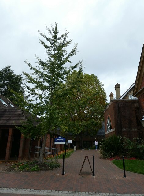
Barrett's Rough, located in Surrey, England, is a small woodland area known for its natural beauty and tranquil atmosphere. Covering approximately 10 hectares, this forested area provides a peaceful escape from the hustle and bustle of nearby urban areas.
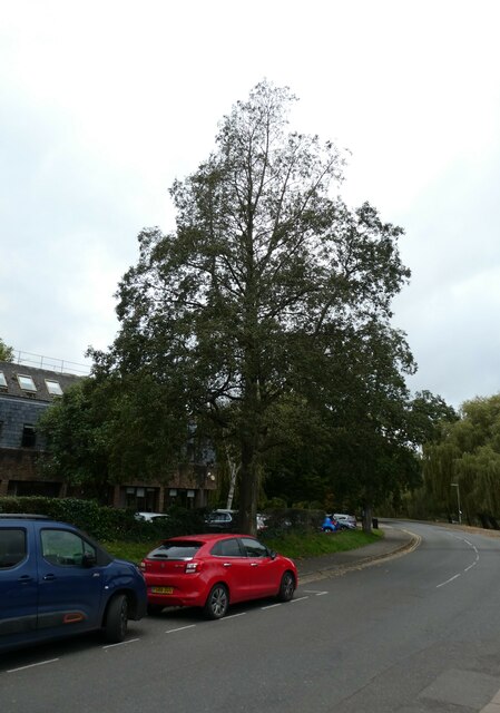
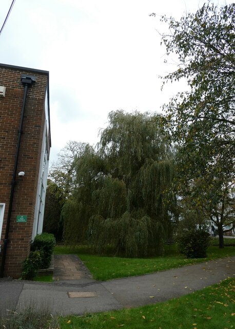
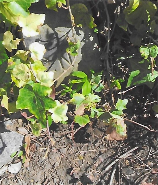
The woodland is characterized by a dense mix of deciduous and coniferous trees, creating a diverse and vibrant ecosystem. Oak, beech, and birch trees dominate the landscape, while spruces and pines add a touch of green throughout the year. The forest floor is carpeted with a variety of wildflowers, ferns, and mosses, further enhancing the scenic beauty of the area.
Barrett's Rough is home to a wide range of wildlife, including several species of birds, mammals, and insects. Bird enthusiasts can spot species such as woodpeckers, nightingales, and tawny owls, making it an ideal spot for birdwatching. Squirrels, rabbits, and deer can also be spotted in the woodland, while butterflies and dragonflies flutter around during the warmer months.
The forest is crisscrossed by a network of walking trails, allowing visitors to explore the area at their own pace. These trails range in difficulty, providing options for both casual strollers and avid hikers. Along the paths, benches are strategically placed, inviting visitors to take a moment to appreciate the natural surroundings.
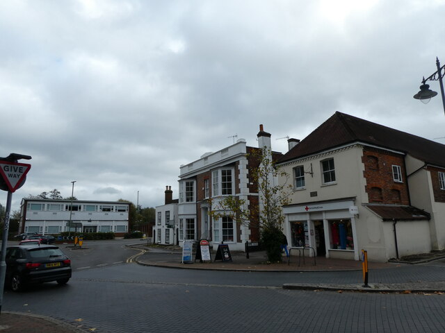
Barrett's Rough is a popular destination for nature lovers, photographers, and families seeking outdoor activities. Its picturesque scenery, rich biodiversity, and peaceful ambiance make it an enchanting woodland retreat for anyone seeking a connection with nature.
If you have any feedback on the listing, please let us know in the comments section below.
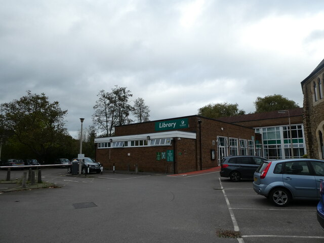
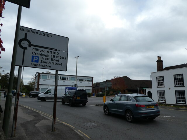
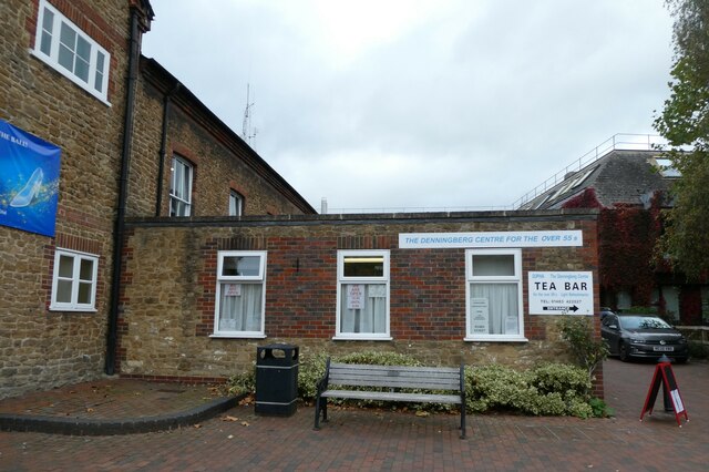
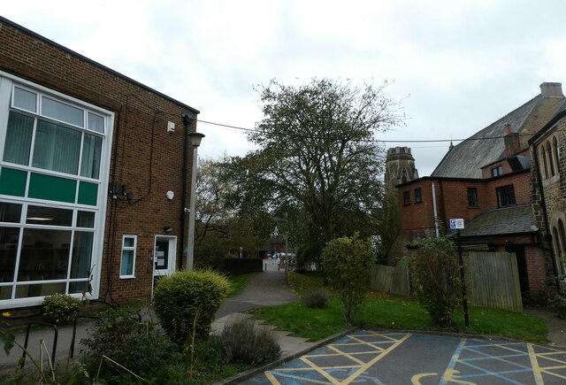
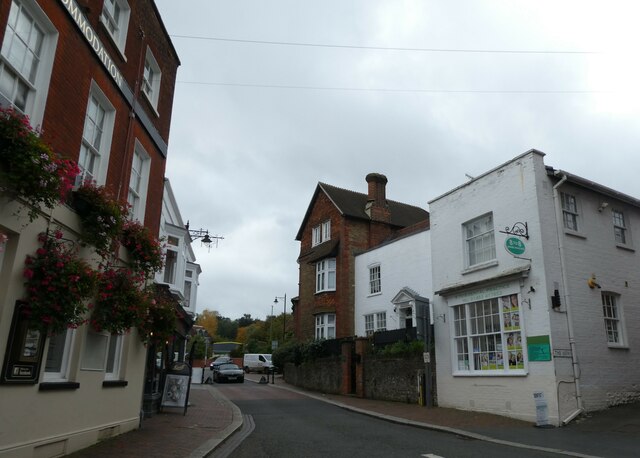
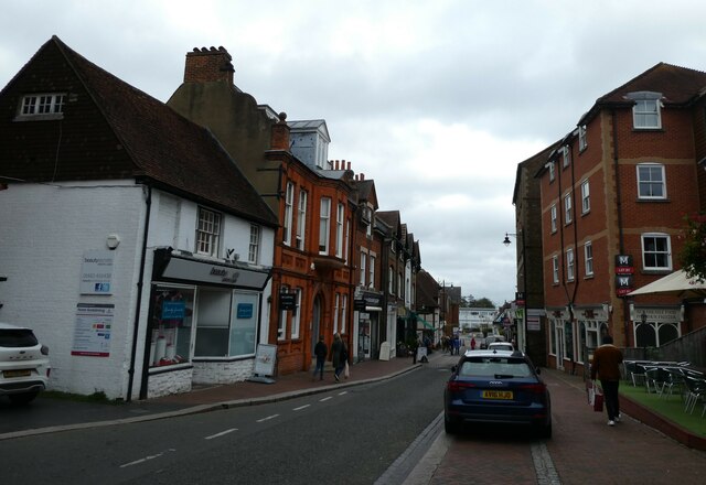
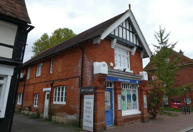
Barrett's Rough Images
Images are sourced within 2km of 51.180377/-0.58396652 or Grid Reference SU9943. Thanks to Geograph Open Source API. All images are credited.

Barrett's Rough is located at Grid Ref: SU9943 (Lat: 51.180377, Lng: -0.58396652)
Administrative County: Surrey
District: Waverley
Police Authority: Surrey
What 3 Words
///calms.award.scout. Near Godalming, Surrey
Nearby Locations
Related Wikis

Orchards, Surrey
Orchards is an Arts and Crafts style house in Bramley in Surrey, England. It is on Bramley's boundary with Busbridge and 1 mile (1.6 km) south-east of...

Munstead Wood
Munstead Wood is a Grade I listed house and garden in Munstead Heath, Busbridge on the boundary of the town of Godalming in Surrey, England, 1 mile (1...

Jekyll Memorial, Busbridge
The Jekyll Memorial, Busbridge, Surrey, England, commemorates the gardener Gertrude Jekyll and members of her family. Designed by Jekyll's friend and collaborator...

Busbridge Church
Busbridge Church or St John the Baptist Church, is an evangelical Anglican Church in Busbridge, Godalming, England. Busbridge Church is part of a joint...
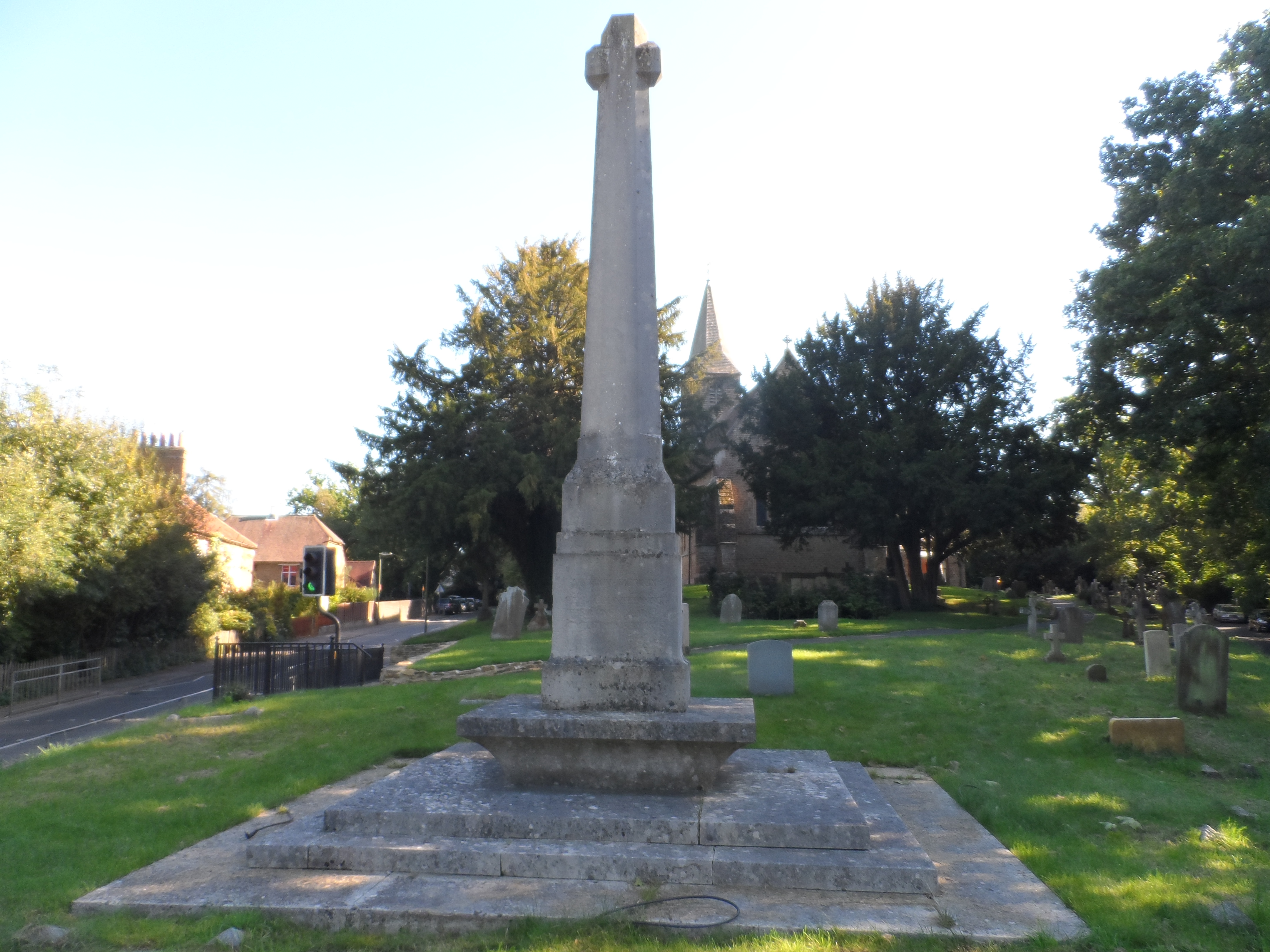
Busbridge War Memorial
Busbridge War Memorial is a First World War memorial in the churchyard of St John's Church in village of Busbridge in Surrey, south-eastern England. Designed...

Busbridge
Busbridge is a village and civil parish in the borough of Waverley in Surrey, England that adjoins the town of Godalming. It forms part of the Waverley...

Meadrow Unitarian Chapel
Meadrow Unitarian Chapel (also known as Meadrow Chapel and Godalming Unitarian Church) is a Unitarian chapel in the Farncombe area of Godalming, Surrey...

Godalming United Church
Godalming United Church is a non-conformist church formed in 1977 of a union of the local Methodist and URC churches. Built in 1903, it is located between...
Nearby Amenities
Located within 500m of 51.180377,-0.58396652Have you been to Barrett's Rough?
Leave your review of Barrett's Rough below (or comments, questions and feedback).