Catteshall Rough
Wood, Forest in Surrey Waverley
England
Catteshall Rough
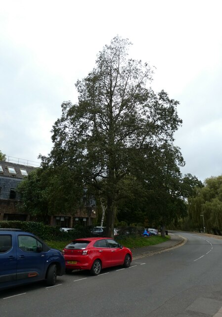
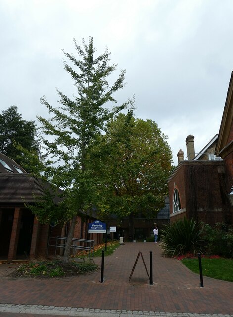
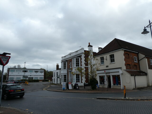
Catteshall Rough is a woodland located in Surrey, England. Covering an area of approximately 30 hectares, it is situated near the town of Godalming, just south of the A3100 road. The rough is characterized by its diverse range of tree species, including oak, ash, birch, and beech, which create a dense and lush forest environment.
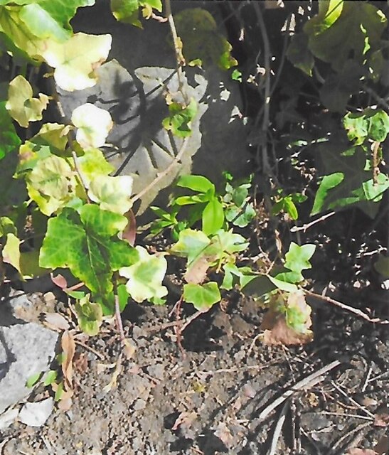
The woodland is known for its rich biodiversity, providing a habitat for a variety of wildlife species. It is home to numerous birds such as woodpeckers, buzzards, and owls, which can often be heard and seen flying between the trees. The forest floor is also teeming with small mammals like squirrels, rabbits, and foxes, as well as a variety of insects and reptiles.
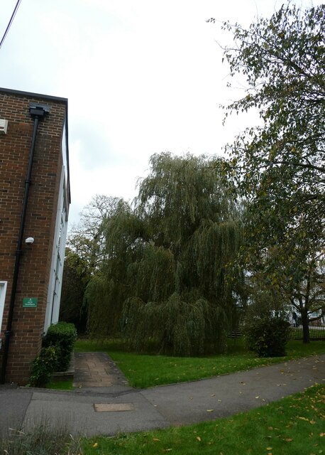
Catteshall Rough offers a peaceful and serene setting for nature enthusiasts and walkers. The dense canopy of trees provides shade and shelter, making it a pleasant place to explore even on hot summer days. Several well-maintained footpaths run through the woodland, offering visitors the opportunity to immerse themselves in the natural beauty of the area.
In addition to its recreational value, the woods are also of historical significance. Catteshall Rough is believed to have been part of an ancient woodland that has existed for hundreds of years. This historical connection adds to the charm and allure of the area, attracting both locals and tourists alike.
Overall, Catteshall Rough is a picturesque woodland in Surrey, offering a haven for nature lovers and a glimpse into the region's natural and historical heritage.
If you have any feedback on the listing, please let us know in the comments section below.
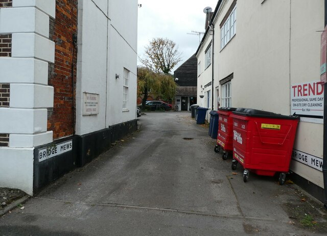
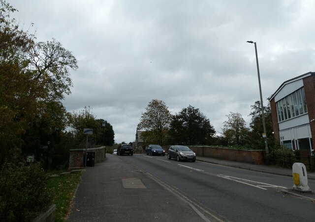
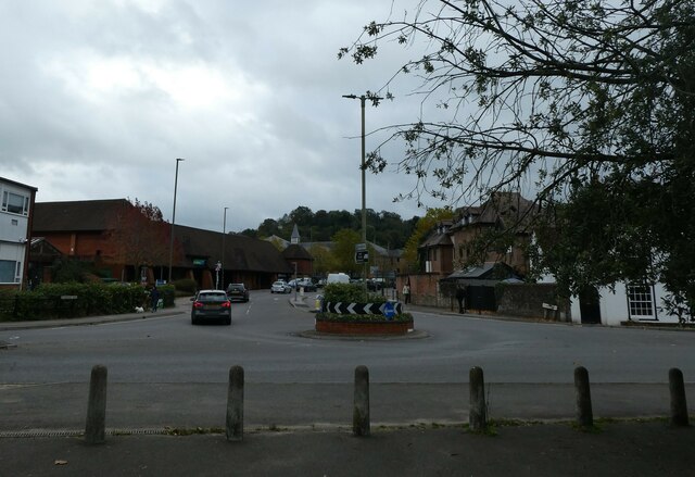
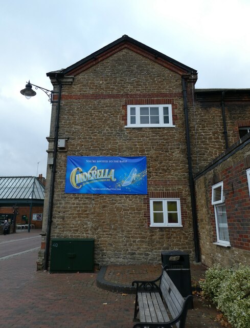
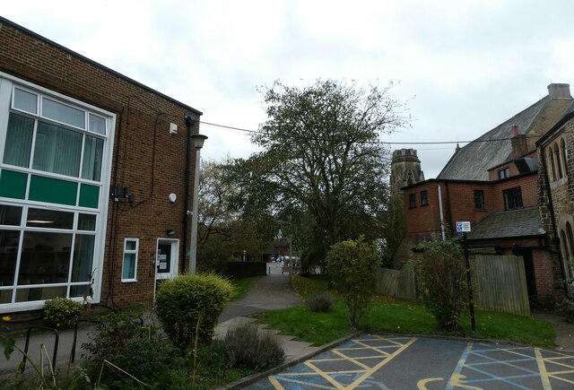
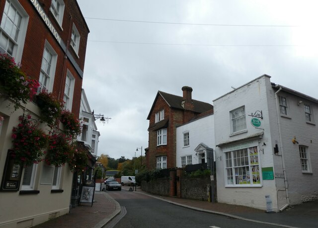
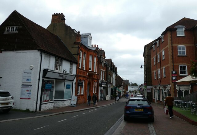
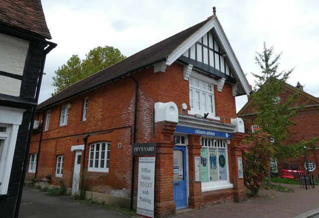
Catteshall Rough Images
Images are sourced within 2km of 51.182406/-0.58298864 or Grid Reference SU9943. Thanks to Geograph Open Source API. All images are credited.

Catteshall Rough is located at Grid Ref: SU9943 (Lat: 51.182406, Lng: -0.58298864)
Administrative County: Surrey
District: Waverley
Police Authority: Surrey
What 3 Words
///extend.dice.attend. Near Godalming, Surrey
Nearby Locations
Related Wikis

Orchards, Surrey
Orchards is an Arts and Crafts style house in Bramley in Surrey, England. It is on Bramley's boundary with Busbridge and 1 mile (1.6 km) south-east of...

Munstead Wood
Munstead Wood is a Grade I listed house and garden in Munstead Heath, Busbridge on the boundary of the town of Godalming in Surrey, England, 1 mile (1...

Jekyll Memorial, Busbridge
The Jekyll Memorial, Busbridge, Surrey, England, commemorates the gardener Gertrude Jekyll and members of her family. Designed by Jekyll's friend and collaborator...

Busbridge Church
Busbridge Church or St John the Baptist Church, is an evangelical Anglican Church in Busbridge, Godalming, England. Busbridge Church is part of a joint...
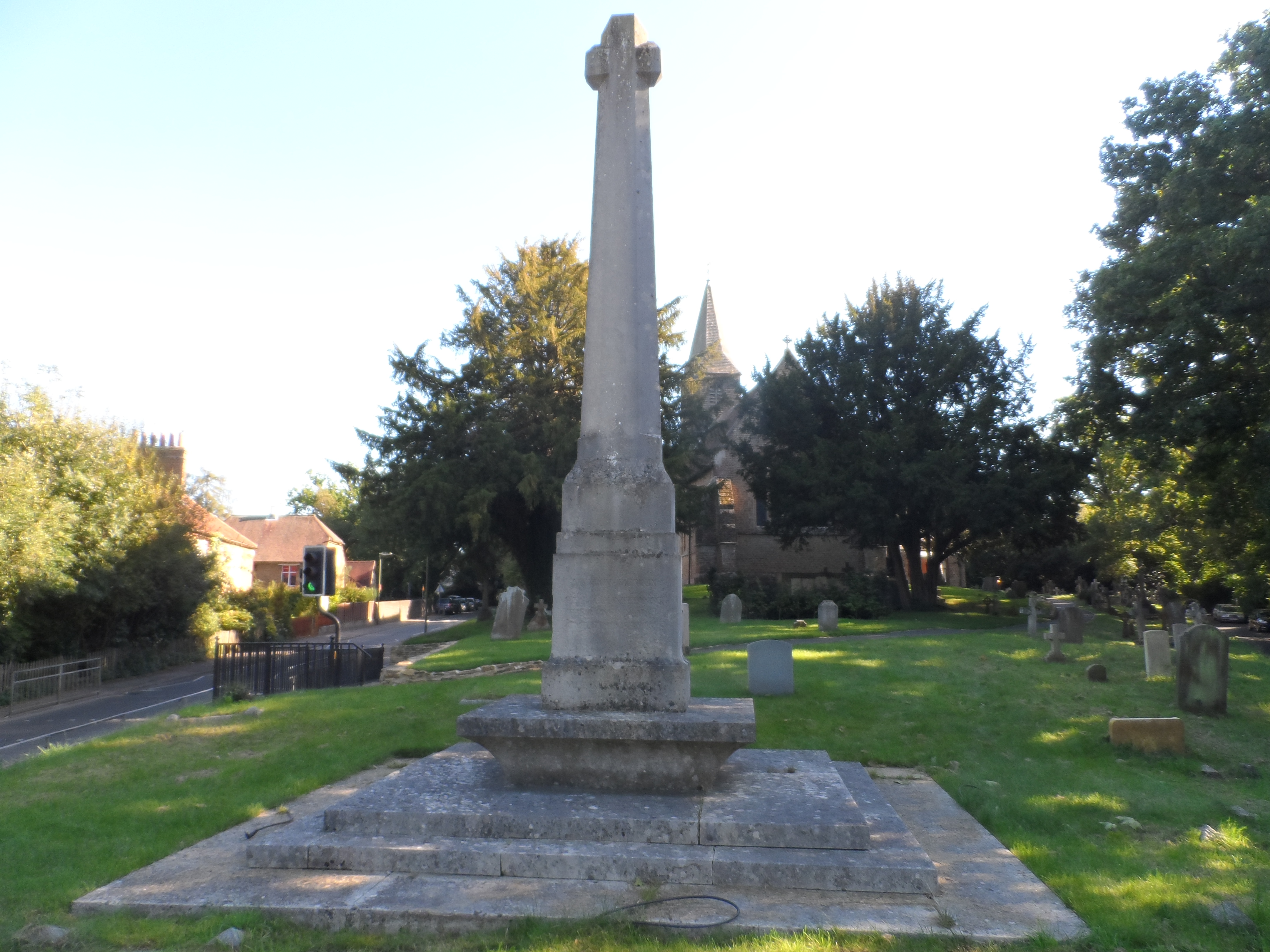
Busbridge War Memorial
Busbridge War Memorial is a First World War memorial in the churchyard of St John's Church in village of Busbridge in Surrey, south-eastern England. Designed...

Busbridge
Busbridge is a village and civil parish in the borough of Waverley in Surrey, England that adjoins the town of Godalming. It forms part of the Waverley...

Meadrow Unitarian Chapel
Meadrow Unitarian Chapel (also known as Meadrow Chapel and Godalming Unitarian Church) is a Unitarian chapel in the Farncombe area of Godalming, Surrey...

Godalming Town F.C.
Godalming Town Football Club is a semi-professional football club based in Godalming, Surrey, England. They are currently members of the Southern Combination...
Nearby Amenities
Located within 500m of 51.182406,-0.58298864Have you been to Catteshall Rough?
Leave your review of Catteshall Rough below (or comments, questions and feedback).